

Opening hours:Today closed
Place:Niederthai
:Alpine pasture / hut / mountain restaurant
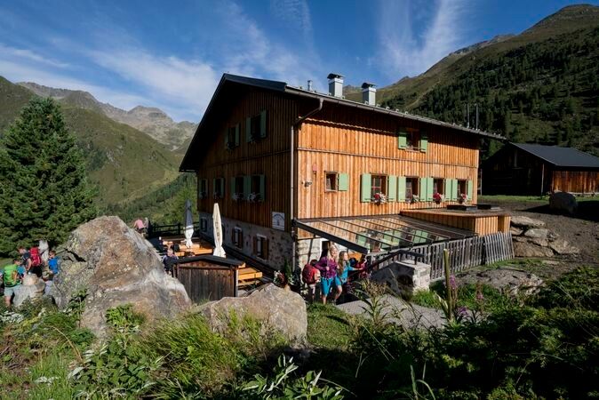
NIEDERTHAI -> Sennhof parking lot -> Larstigalm -> Klein Horlachalm -> Groß Horlachalm -> SCHWEINFURTER HUT
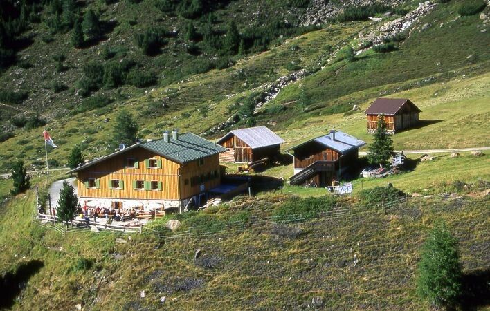
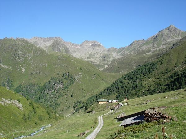
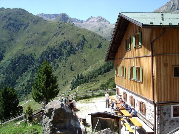
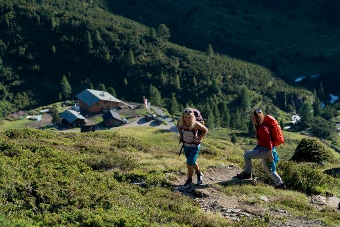
Easy hiking trail; suitable for beginners and walkers
Please note the current weather report
Appropriate equipment such as breathable and weather-appropriate outdoor clothing, ankle-high hiking boots, wind, rain and sun protection, a hat, and possibly gloves is required for all hikes and routes. Bringing a first aid kit, a mobile phone, and possibly a hiking map, as well as sufficient provisions for hikes without dining options, is necessary.
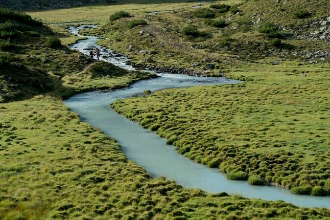
The hike starts in Niederthai at the Sennhof parking lot (next to the information center). From there, follow the gently ascending forest road along the Horlachbach into the Horlachtal. After about an hour, you reach Larstigalm and walk comfortably past it. The path goes briefly steeper uphill once and then continues flat to a bridge. From there, you either continue on the forest road past Klein Horlachalm and Groß Horlachalm or take the narrow summer hiking trail immediately before the bridge on the right through open terrain to Schweinfurter Hut. The hut is a very popular day-trip destination, accommodation for hut hikers, and a starting point for easy and challenging hikes and high alpine tours. The hut is also very easily accessible by mountain bike. On the way back, there is the alternative shortly after Larstigalm to cross the stream on the right and return to Niederthai via the Bergmahderweg – wonderful view!
Travel comfortably and safely by train to the Ötztal railway station. The final stop or exit point is the ÖTZTAL station. Afterwards, travel conveniently and quickly by public transport or local taxi companies throughout the valley to your desired destination! The current bus timetable is available at: http://fahrplan.vvt.at
The car drive into the ÖTZTAL. Located in Tyrol, the Ötztal branches off to the south as the longest side valley of the Eastern Alps. Traveling by car leads visitors through the Inn valley to the valley entrance and then further along the Ötztal. In addition to the toll motorway, country roads can also be used. Your drive can be quickly and conveniently planned with the route planner.
To the route planner: https://www.google.at/maps
The following parking options are available in Niederthai:


