

Opening hours:Open today
Place:St. Jakob i. D.
:Alpine pasture / hut / mountain restaurant
! From the Trogach car park to the Gasser Kofel, currently only accessible via the forest road ! Discover nature at its most beautiful
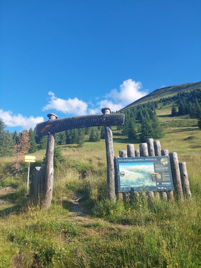
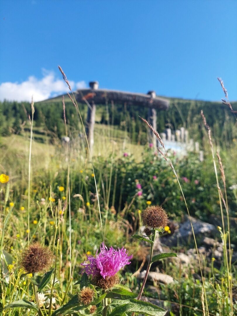
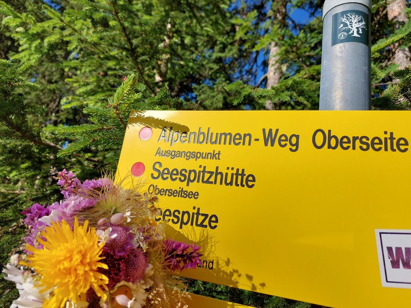
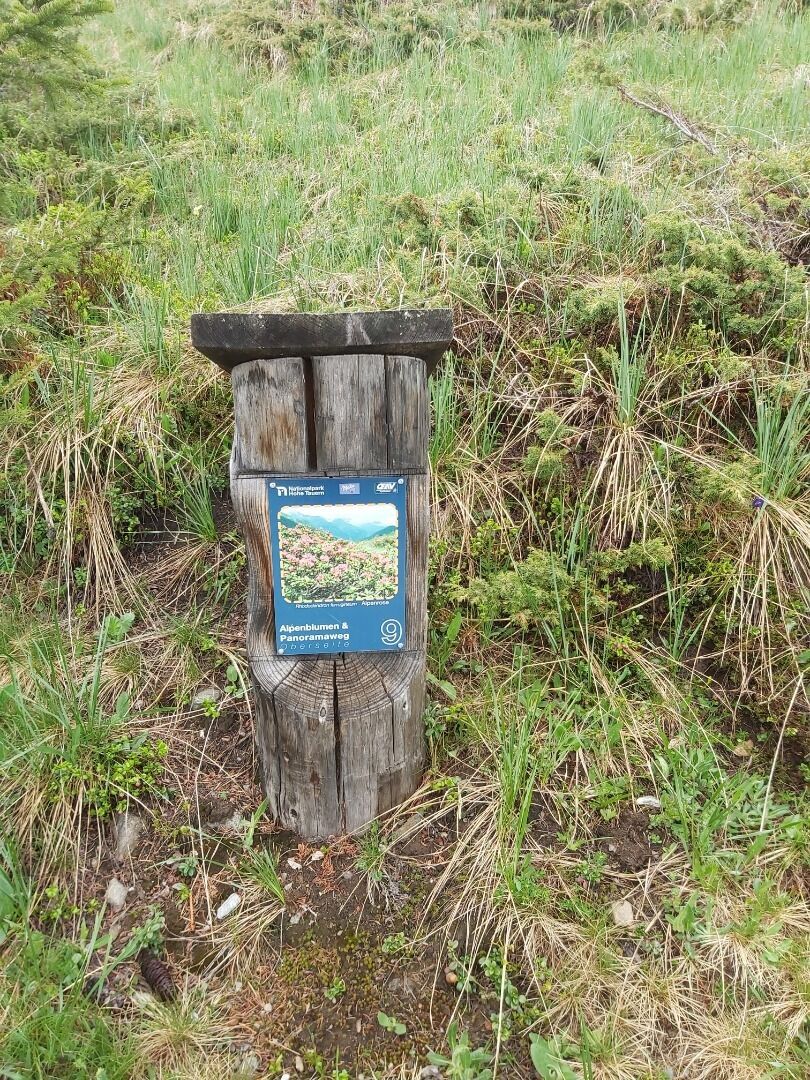
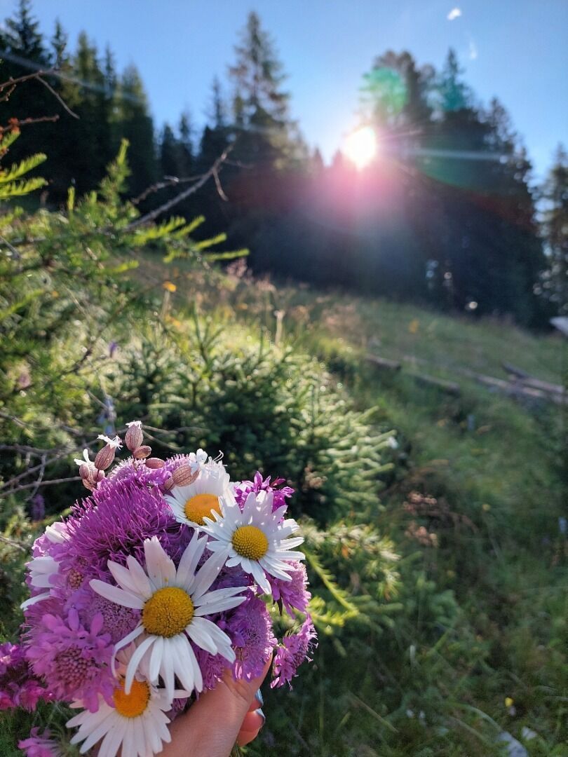
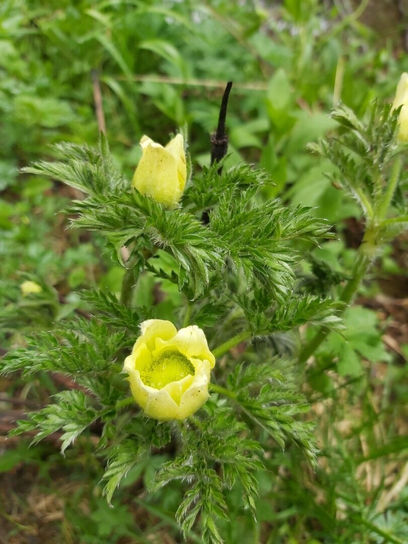
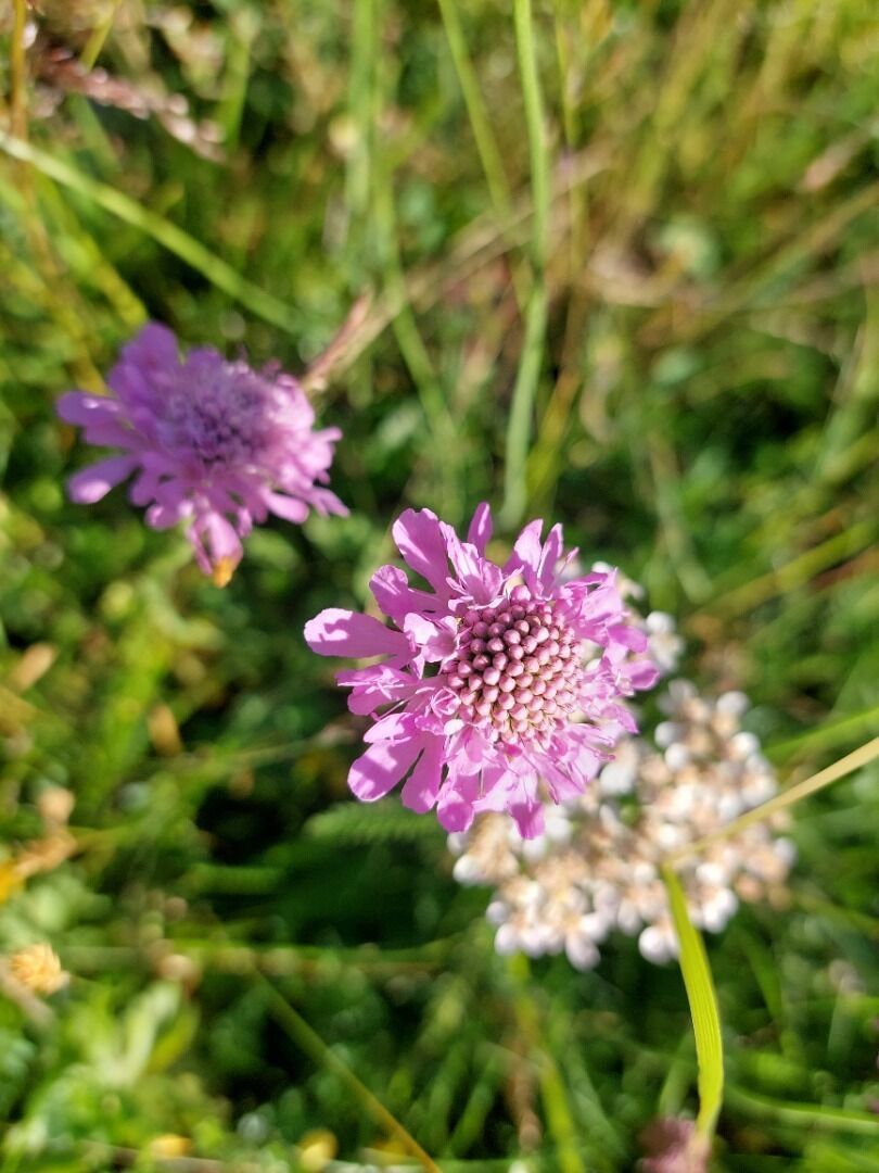
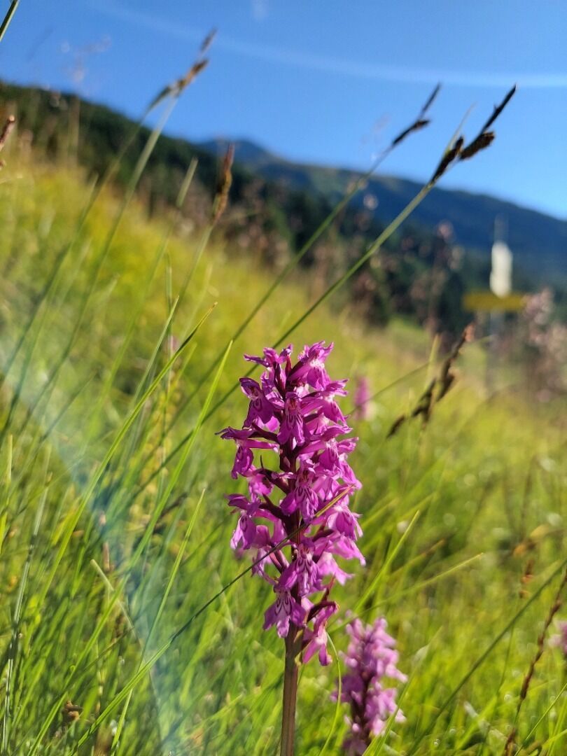
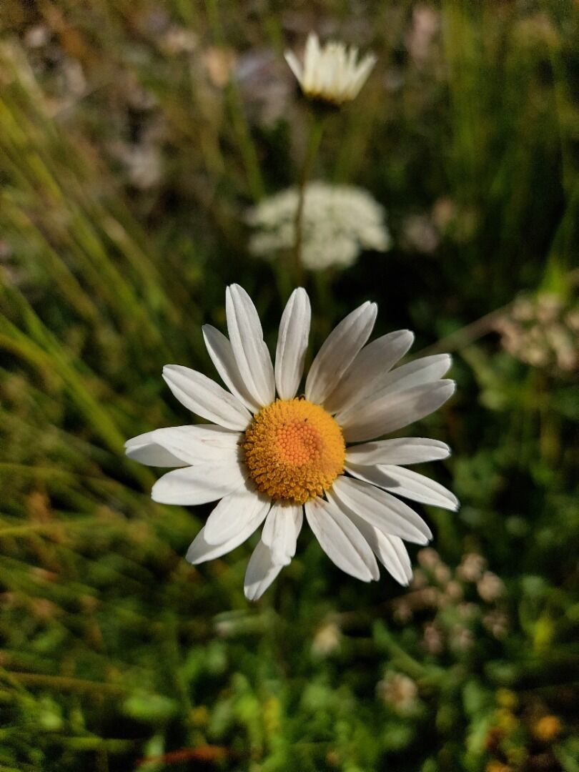
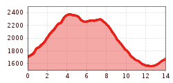
The themed path “Alpenblumenweg Oberseite” provides good insight into the colourful diversity of the alpine plants and their living conditions in the high mountains. The starting point of the hike is Trogach (car park). A forest road and hiking trail lead to the actual starting point of the trail, the “Gasser Kofel”. From there, a moderately ascending hiking trail leads to the Seespitzhütte. From there, a high route runs eastwards (Reggnalm) and then descends into the Trojeralmtal. The same-titled Natural History Guide published by the Austrian Alpine Association offers interesting facts about flora and fauna and the healing properties of some Alpine plants at all stops. (Please note: extensive day trip)
Bushaltestellte St. Jakob i. D. Gemeindeamt
Parkplatz Trogach


