Themed hikes WIDI's themed trail - All senses! The adventure trail with keen perception

Oetz / Stubai Alps
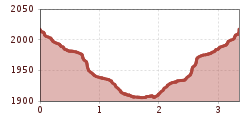
Difficulty ratings: medium
Route length: 3.4 km
Duration: 1:19 h

PANORAMA RESTAURANT (2,020 m) -> Track reader -> Rope bridge -> Balancing beam -> Acherberg Alm (1,888 m) -> Treadmill, sense of smell, animal sound box -> PANORAMA RESTAURANT (2,020 m) 
Tour information

  • Requirement: medium
  • Length: 3.4 km
  • Duration: 1:19 h
  • Elevation uphill:130 hm
  • Elevation downhill:130 hm
Highest point2,017 m

Starting point

Panorama Restaurant Hochoetz

Finishing point

Acherberg Alm
  • Fitness level 3 / 6

Best time of year

  • January
  • February
  • March
  • April
  • May
  • June
  • July
  • August
  • September
  • October
  • November
  • December

Equipment

Moderate mountain trail; suitable for sure-footed and experienced mountain hikers; good physical condition, mountain experience and mountaineering equipment (see equipment section) required. Please check the current weather report at: www.oetztal.com/de/sommer.html Appropriate equipment such as breathable and weather-appropriate outdoor clothing, ankle-high hiking boots, wind, rain and sun protection, hat, possibly gloves, is required for all hikes and routes. Carrying a first aid kit, a mobile phone and possibly a hiking map, as well as sufficient provisions for hikes without refreshment options, is necessary.
Source: TVB Ötztal Tourismus

Description

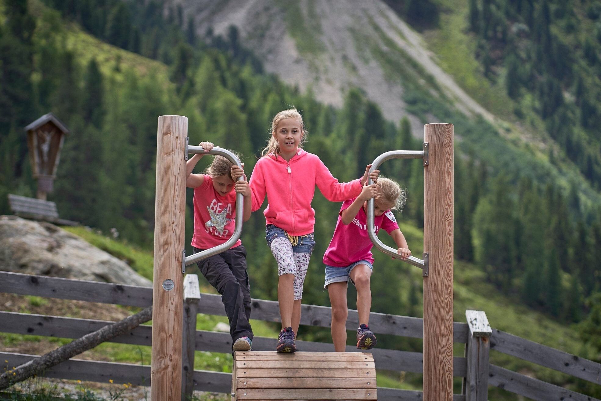
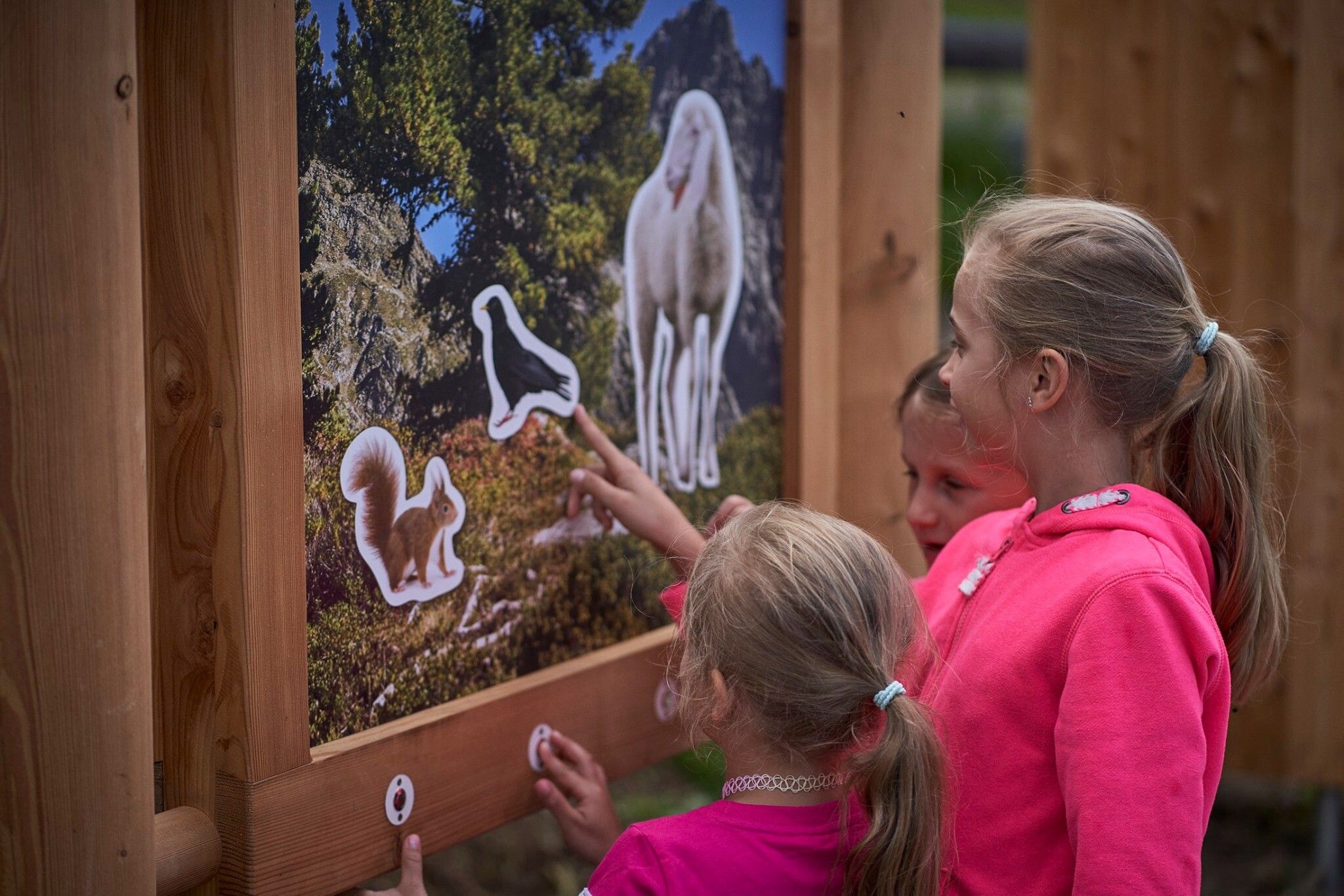
Here you have to be as quick and alert as the squirrel. Test your dexterity and your senses: How fast can you run on a treadmill? How do animal furs and bird feathers feel? Which animal sounds can you imitate? You will discover all this and much more along the way.

Length of the hike: 3.8 km

Walking time: approx. 1 hour and 20 minutes.

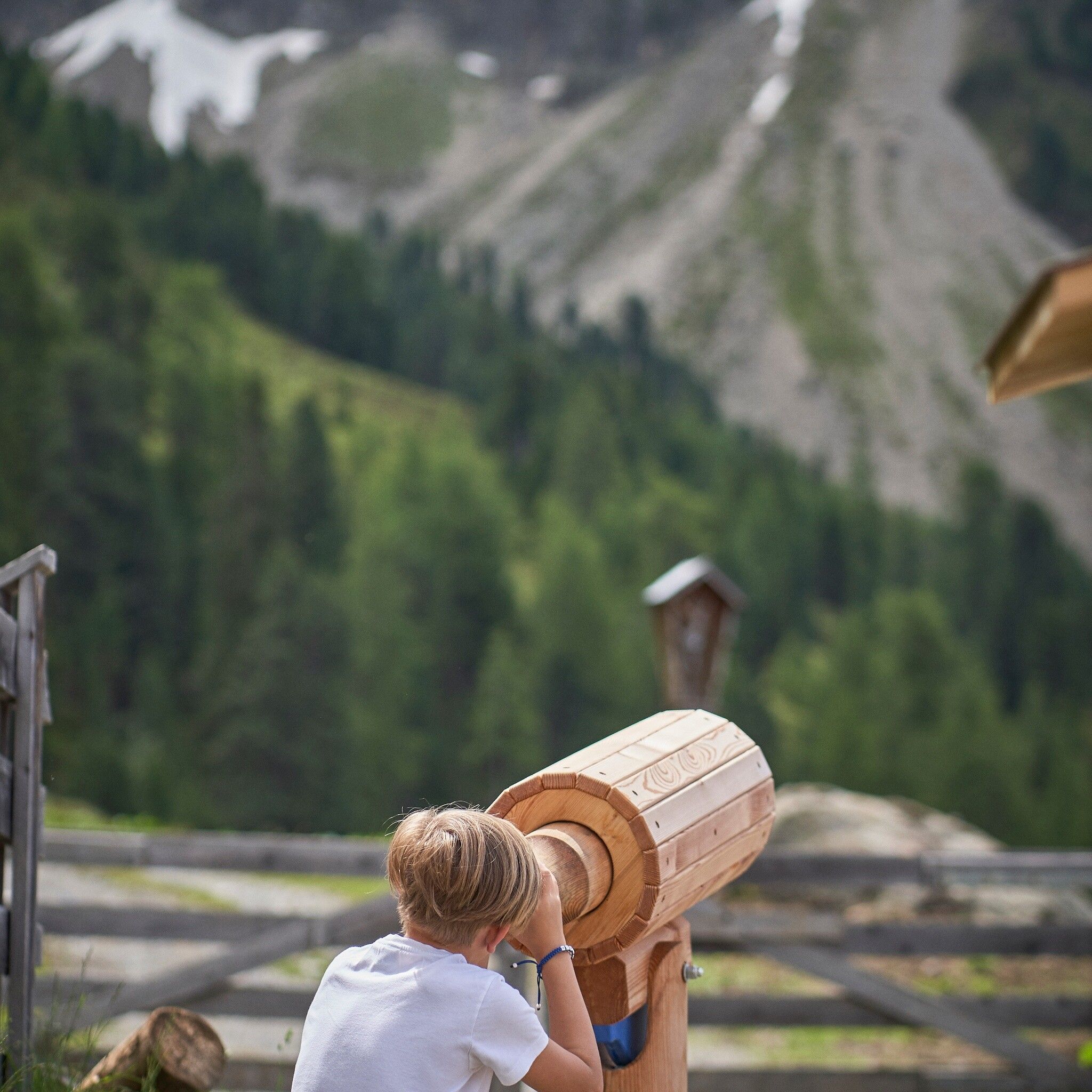
Stations: Mountain station > Track reader > Rope bridge > Balancing beam > Acherberg Alm – Treadmill, sense of smell, animal viewer, animal sound box > Mountain station

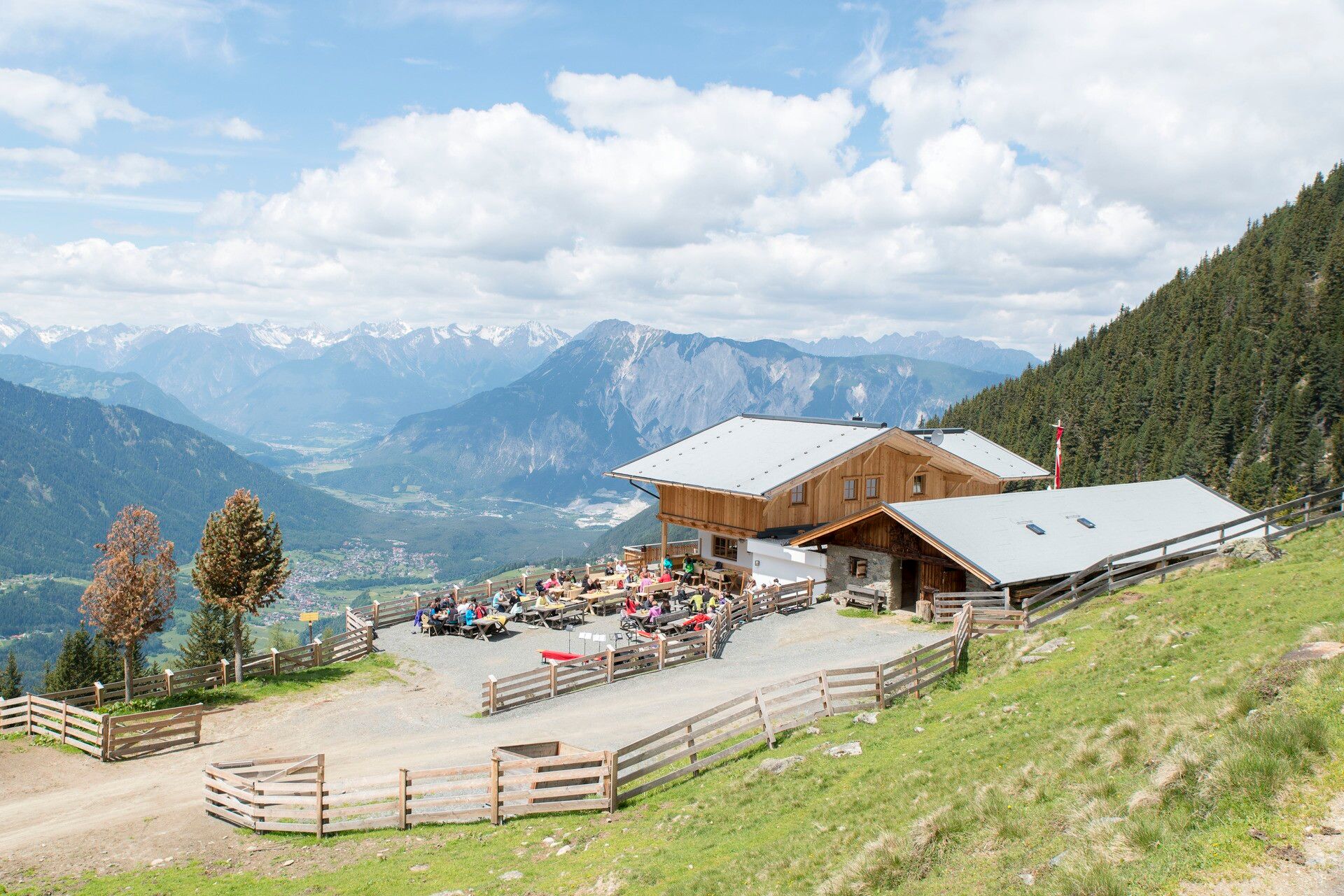
Refreshment: Acherberg Alm


Nearby huts and mountain restaurants

Getting here

  • Arrival by public transport

    Travel comfortably and safely by train to the Ötztal train station. The final stop or exit point is the ÖTZTAL station. Afterwards, you can travel conveniently and quickly through the entire valley to your desired destination by public transport or local taxi companies! The current bus timetable is available at: fahrplan.vvt.at

  • Parking

    The drive into the ÖTZTAL. Located in Tyrol, the Ötztal branches off to the south as the longest side valley of the Eastern Alps. Travel by car takes visitors through the Inn valley to the valley entrance and then continues along the Ötztal. In addition to the toll motorway, country roads can also be used. Your drive can be quickly and conveniently planned with the route planner: To the route planner: www.google.at/maps 

    The following parking options are available:

    • Acherkogelbahn parking lot (paid)
    • Rafting entry point parking lot (at the end of Oetz on the right side) (paid)
    • Oetz town center parking lot (paid)
    • Overnight parking during multi-day hikes: Oetz town center parking lot. Tickets are available at the Oetz Information Office.
    • When ascending with the Ochsengarten gondola, free parking spaces are available in Ochsengarten - camping prohibited

Weather

Today

clear sky
22°C/7°C
0%0l5 km/h

Sun

mainly clear
23°C/9°C
15%0l5 km/h

Mon

partly Cloudy
19°C/9°C
10%0l5 km/h
Go to weather forecast

More tours in the surrounding area

  • Siegerlandhütte - Sölden

    Difficulty:medium
    Length:8.0 kmDuration:3:30 hElevation uphill:780 m
  • Ötztal Trek Stage 4

    Difficulty:difficult
    Length:8.9 kmDuration:4:00 hElevation uphill:802 m
  • Ötztal Trek Stage 3

    Difficulty:difficult
    Length:10.4 kmDuration:4:00 hElevation uphill:842 m
  • Ötztal Trek Stage 10

    Difficulty:difficult
    Length:11.1 kmDuration:4:30 hElevation uphill:1,476 m
  • Ötztal Trek Stage 8

    Difficulty:difficult
    Length:9.3 kmDuration:3:30 hElevation uphill:274 m
  • Ötztal Trek

    Length:246.4 kmDuration:84:25 hElevation uphill:18,910 m
  • Ötztal Trek Stage 20

    Difficulty:medium
    Length:6.4 kmDuration:3:00 hElevation uphill:610 m
  • Ötztal Trek Stage 11

    Difficulty:difficult
    Length:12.0 kmDuration:5:00 hElevation uphill:705 m
  • Ötztal Trek Stage 5

    Difficulty:difficult
    Length:8.1 kmDuration:3:30 hElevation uphill:1,105 m
  • Ötztal Trek Stage 6

    Difficulty:difficult
    Length:7.6 kmDuration:3:30 hElevation uphill:640 m
  • Ötztal Trek Stage 7

    Difficulty:difficult
    Length:5.3 kmDuration:2:00 hElevation uphill:376 m
  • Ötztal Trek Stage 17

    Difficulty:difficult
    Length:16.4 kmDuration:6:00 hElevation uphill:1,080 m
  • Ötztal Trek Stage 16

    Difficulty:difficult
    Length:6.9 kmDuration:2:30 hElevation uphill:358 m
  • Ötztal Trek Stage 1

    Difficulty:medium
    Length:18.6 kmDuration:6:30 hElevation uphill:1,561 m
  • Ötztal Trek Stage 14

    Difficulty:difficult
    Length:6.3 kmDuration:3:00 hElevation uphill:1,004 m
  • Ötztal Trek Stage 12

    Difficulty:difficult
    Length:4.8 kmDuration:2:00 hElevation uphill:592 m
  • Ötztaler Urweg

    Difficulty:difficult
    Length:177.2 kmDuration:60:49 hElevation uphill:7,541 m
  • Ötztal Trek Stage 22

    Difficulty:difficult
    Length:21.5 kmDuration:8:00 hElevation uphill:647 m
  • Ötztal Trek Stage 21

    Difficulty:difficult
    Length:9.4 kmDuration:4:30 hElevation uphill:1,270 m
Newsletter

The mountain is calling? So does our newsletter!

In our monthly newsletter we reveal the best holiday tips for Tyrol.