Arrival by public transport
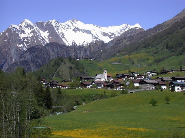
Prägraten a.G. Gemeindeamt
Gentle hike in the valley community
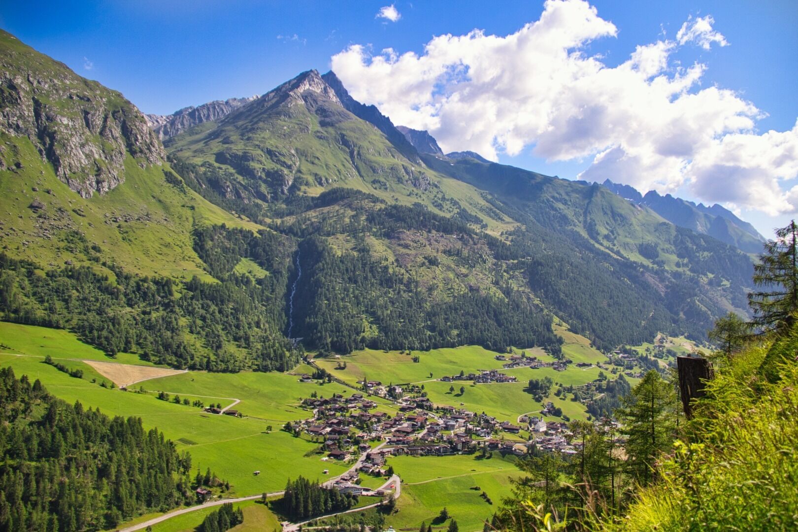
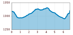
Starting point of this relaxing hiking trail is the tourist information office Prägraten a.G.. From there, walk along the pavement to the Pizzeria Petro and then take a sharp left turn. The municipal road now leads down to the bridge Dorferbrücke. Immediately after the bridge, turn right and walk past the "Freizeitanlagen" (ice hockey pitch etc.). Walk on the left side of the river Isel first to Unterfeld, continue to the farmhouse "Taxer Bauerngehöft" and further over the bridge to the district Hinterbichl.
Prägraten a.G. Gemeindeamt
Prägraten a.G. Gemeindeamt


www.bergpixel.de")


