Long-distance hike Bergsagen long-distance hiking trail: Stage 1 from Kranzach/Gnadenwald to Wattens

Geselhaus / Karwendel
Difficulty ratings: easy
Route length: 11.8 km
Duration: 3:04 h

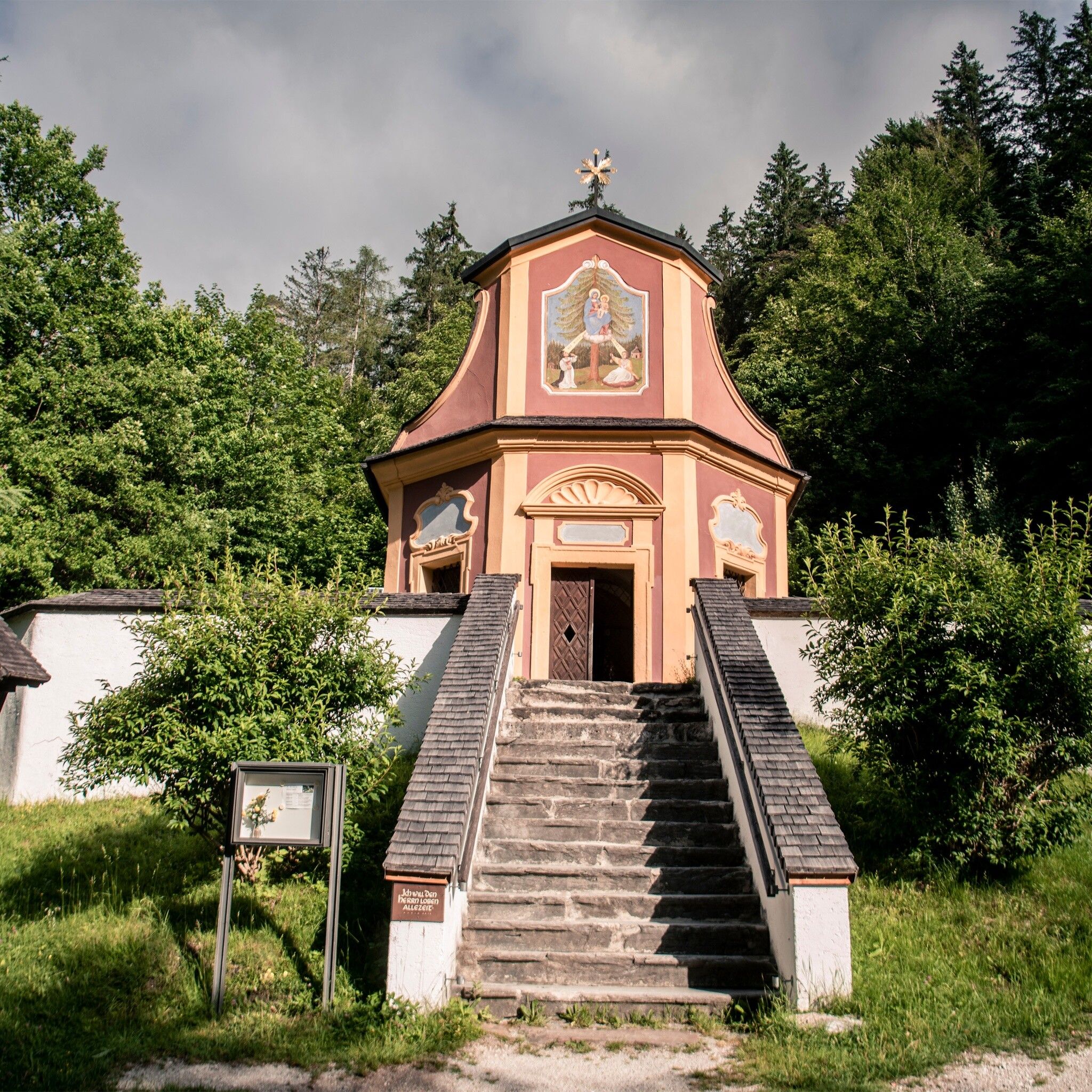
On the Gnandenwald plateau, we start leisurely on our 1st stage of the Bergsagen long-distance hiking trail. Via Maria Larch, we head to Wattens.
Tour information

  • Requirement: easy
  • Length: 11.8 km
  • Duration: 3:04 h
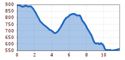
  • Elevation uphill:189 hm
  • Elevation downhill:517 hm
Highest point899 m

Starting point

Mairbach/Gnandenwald

Finishing point

Wattens
  • Fitness level 2 / 6

Best time of year

  • January
  • February
  • March
  • April
  • May
  • June
  • July
  • August
  • September
  • October
  • November
  • December

Equipment

Part of the route must be shared with public transport!

Source: Hall Wattens

Description

The 5-day long-distance hike through the Hall-Wattens region starts in Kranzach. Bus line 3 from Hall goes there. (Parking lot available for multi-day tours)

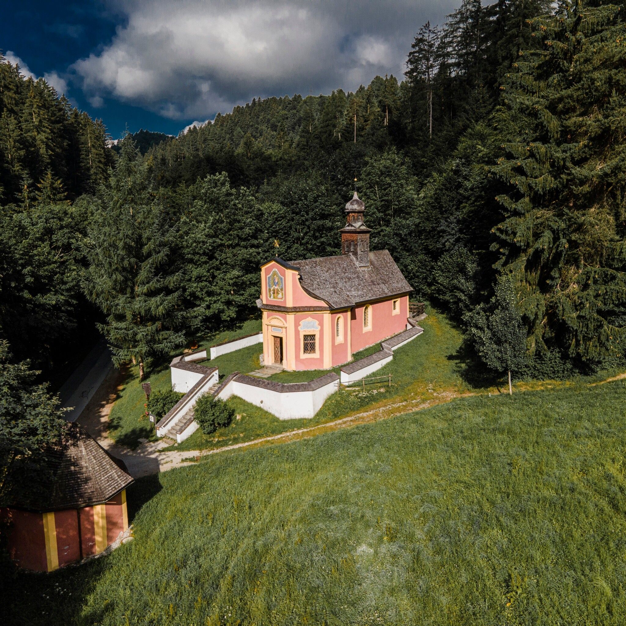
The path follows the Way of St. James, over Brantach and Mairbach, downhill to the power spot Maria Larch, and further through Eggen.

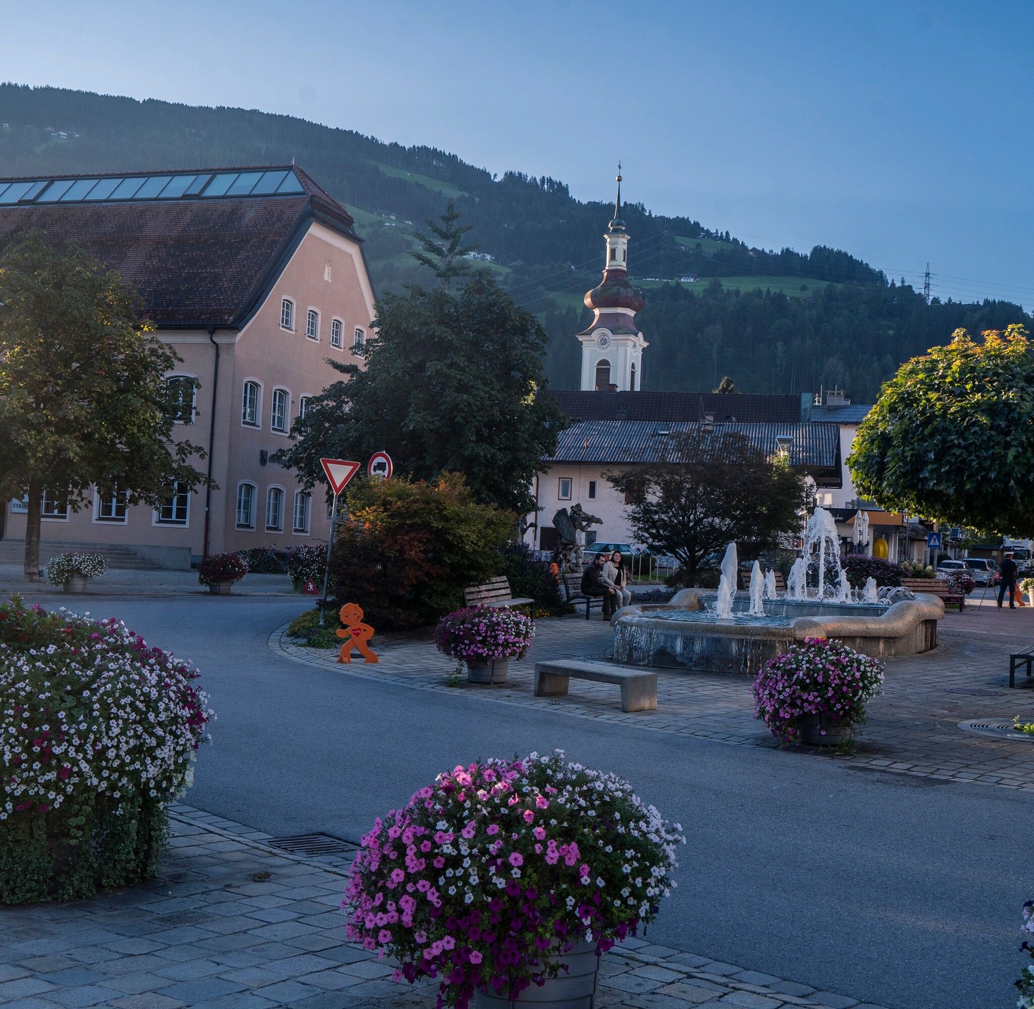
At the height of the Thierburg, the path leads to Fritzens and further on to Wattens.

If you have time, you can also visit the Swarovski Crystal Worlds here.


Nearby huts and mountain restaurants

Getting here

  • Arrival by public transport

    Bus line 3 from Hall to Gnadenwald

  • Parking

    From Hall via Absam to Gnadenwald to the parking lot in Kranzach


    Paid parking lots.

    The first is directly on the state road, for the additional parking lots you need to drive 400m further towards Terfens, then turn left (60m or 150m uphill respectively).

    If you arrive by car, we can issue you a permit card for the parking lot in Gnadenwald for the duration of the Bergsagen long-distance hiking trail: Email request

Weather

Today

clear sky
11°C/1°C
15%0.2l5 km/h

Sun

mainly clear
6°C/-1°C
25%1l5 km/h

Mon

partly Cloudy
7°C/-1°C
10%0l5 km/h
Go to weather forecast

More tours in the surrounding area

  • Figerhorn

    Difficulty:difficult
    Length:6.6 kmDuration:6:00 hElevation uphill:811 m
  • Theme path "Virgen crossroads"

    Difficulty:easy
    Length:3.2 kmDuration:1:00 hElevation uphill:104 m
  • Lasörling altitude trail

    Difficulty:medium
    Length:55.4 kmDuration:25:00 hElevation uphill:3,718 m
  • Venediger altitude trail

    Difficulty:difficult
    Length:55.5 kmDuration:27:00 hElevation uphill:3,975 m
  • Böses Weibele

    Difficulty:medium
    Length:13.6 kmDuration:6:30 hElevation uphill:965 m
  • Herz-Ass Villgratental

    Difficulty:medium
    Length:75.6 kmDuration:34:00 hElevation uphill:5,703 m
  • Muhs panorama trail

    Difficulty:medium
    Length:15.2 kmDuration:6:00 hElevation uphill:1,090 m
  • Hike to Neuen Reichenberger Hütte

    Difficulty:medium
    Length:18.2 kmDuration:9:00 hElevation uphill:1,252 m
  • Hike to Kalser Tauernhaus

    Difficulty:medium
    Length:12.2 kmDuration:4:00 hElevation uphill:244 m
  • Hiking tour to Lasörlinghütte 2.350m

    Difficulty:medium
    Length:14.6 kmDuration:7:50 hElevation uphill:1,135 m
  • Hiking tour to Zupalsee Hütte 2.350m

    Difficulty:medium
    Length:14.9 kmDuration:8:30 hElevation uphill:1,261 m
  • The Höfe Trail

    Difficulty:easy
    Length:51.2 kmDuration:10:15 hElevation uphill:1,988 m
  • Hiking tour to Neue Sajathütte 2.600m

    Difficulty:medium
    Length:10.3 kmDuration:6:50 hElevation uphill:1,086 m
  • Hike to the Venedigerhaus Innergschlöß

    Difficulty:easy
    Length:8.6 kmDuration:2:30 hElevation uphill:184 m
  • Glödis via ferrata route

    Opening hours:open
    Difficulty:BExposition:SE
    Duration:1:00 hDuration:4:00 hElevation difference:230 m
  • Children's mile Golzentipp

    Difficulty:easy
    Length:3.7 kmDuration:2:00 hElevation uphill:140 m
  • Badener Hütte

    Difficulty:difficult
    Length:23.2 kmDuration:12:00 hElevation uphill:1,754 m
Newsletter

The mountain is calling? So does our newsletter!

In our monthly newsletter we reveal the best holiday tips for Tyrol.