
Opening hours:Today closed
Place:Virgen
:Restaurant, café, Bar / Pub
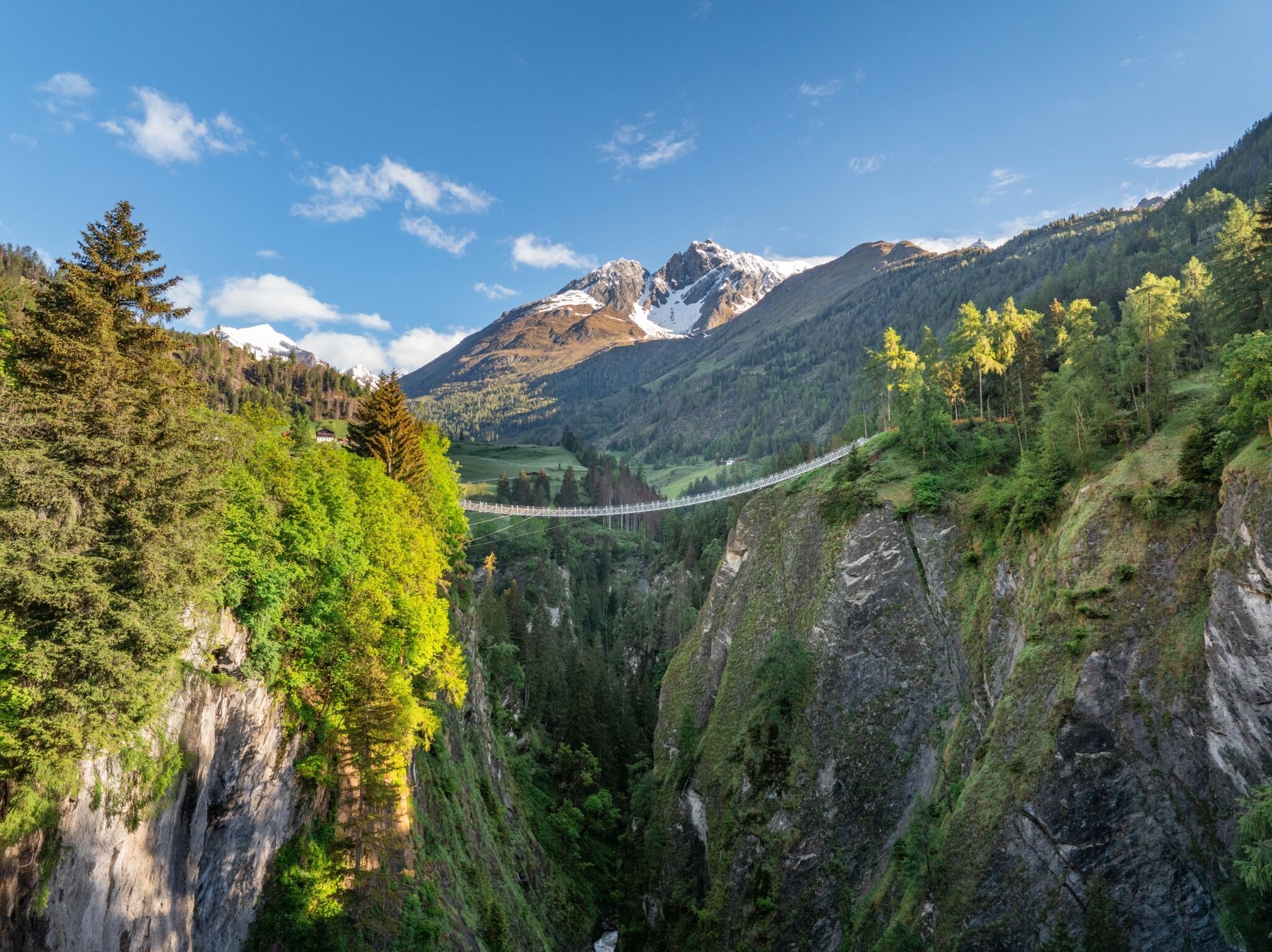
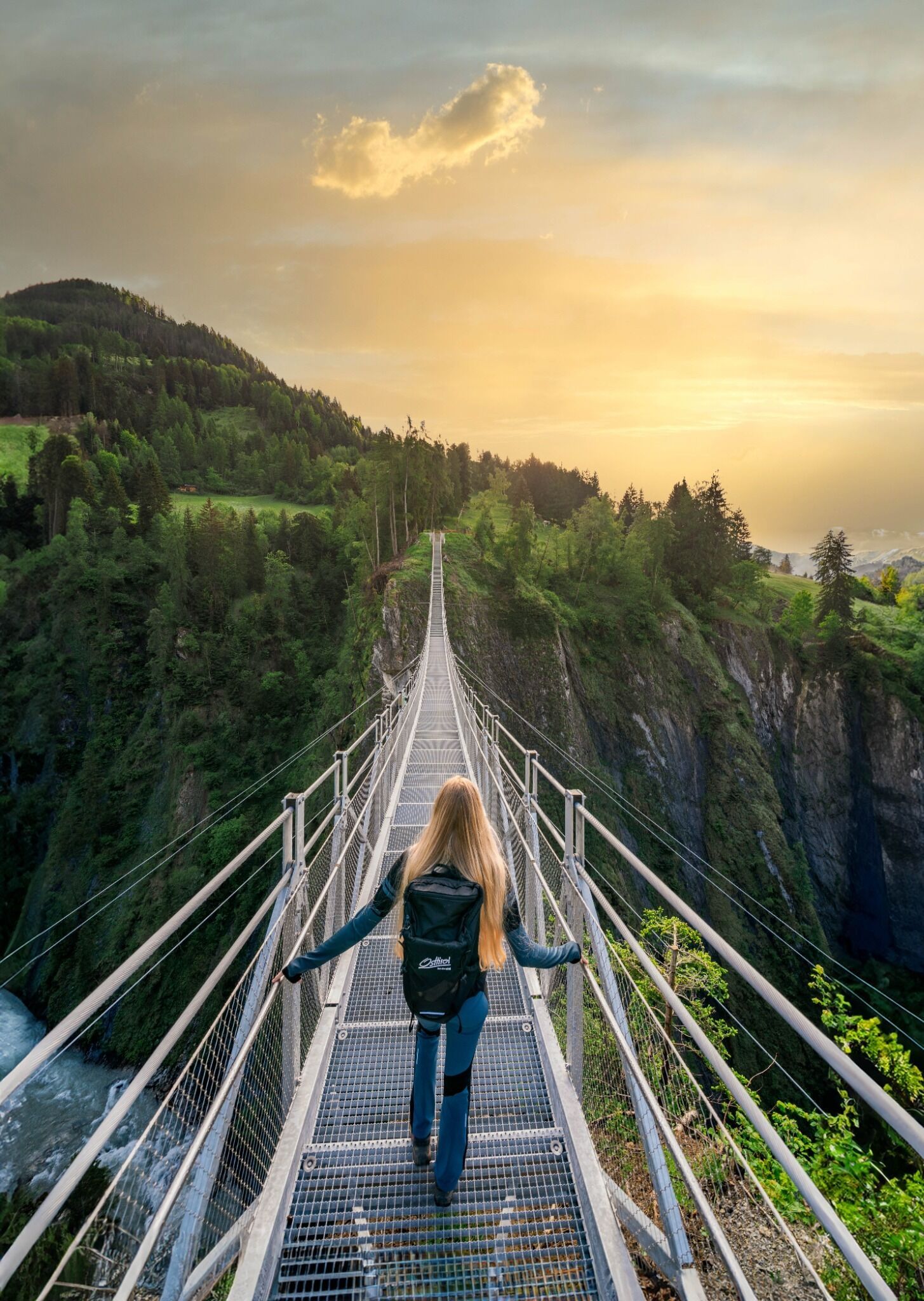
Circular hike suspension bridge Isel Canyon via Gries
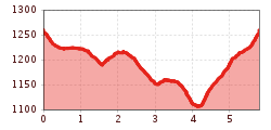
Tarmac, gravel, hiking trail
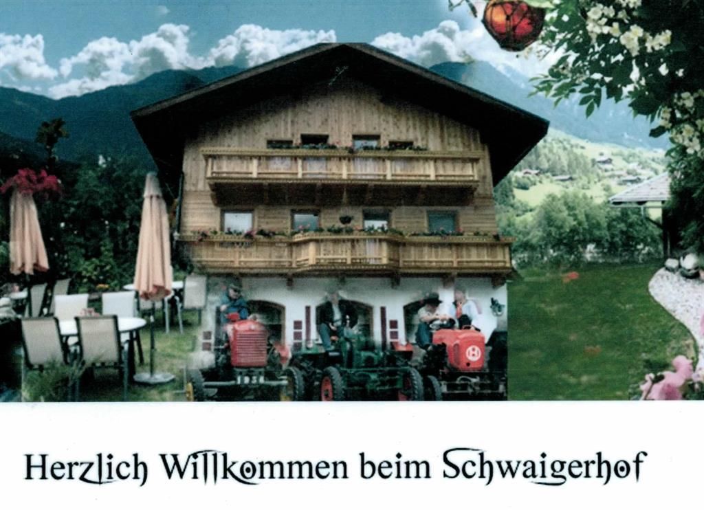
From the bus stop in Obermauern, follow trail no. 46 to the suspension bridge. After the suspension bridge, turn left into the Welzelach district. The Silvester Chapel on the left-hand side is open during the day and can be visited. The trail then continues into the district of Gries. A stop at Gasthof Schwaigerhof is more than worthwhile: a sun terrace, a large children's playground and friendly service round off the Tyrolean inn experience. TIP: Be sure to try the ice cream creations! After the Schwaigerhof, cross the bridge and take the second path (path no. 47) on the left-hand side into the Obermauern district.
Bus stop Obermauern
Car park Suspension bridge


www.bergpixel.de")


