Mountain hikes Europa Panoramaweg

Matrei in Osttirol / Granatspitze Group
Difficulty ratings: easy
Duration: 3:45 h

Leisurely hike for the whole family with unique mountain panorama

Tour information

  • Requirement: easy
  • Duration: 3:45 h
  • Elevation uphill:100 hm
  • Elevation downhill:300 hm
Highest point2,250 m

Starting point

Mountain station Matreier Goldried Bergbahnen

Finishing point

Mountain Matreier Goldried Bergbahnen
  • Fitness level 2 / 6
  • Technique 2 / 6

Features

  • Suitable for families

Best time of year

  • January
  • February
  • March
  • April
  • May
  • June
  • July
  • August
  • September
  • October
  • November
  • December
Source: TVB Osttirol

Description

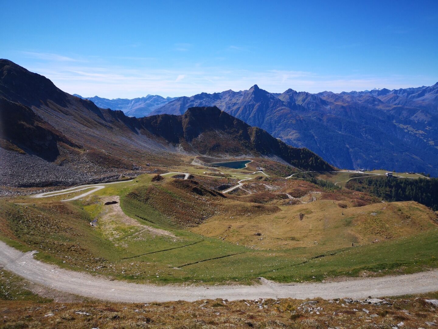
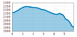
This panoramic, easy hike starts at the hut Berggausthaus Goldried. After the ascent with the cable cars Matreier Goldried Bergbahnen you hike at the same altitude to the hut Kals-Matreier-Törl. The wide path leads over the Goldriedalm without much effort and is also suitable for prams.
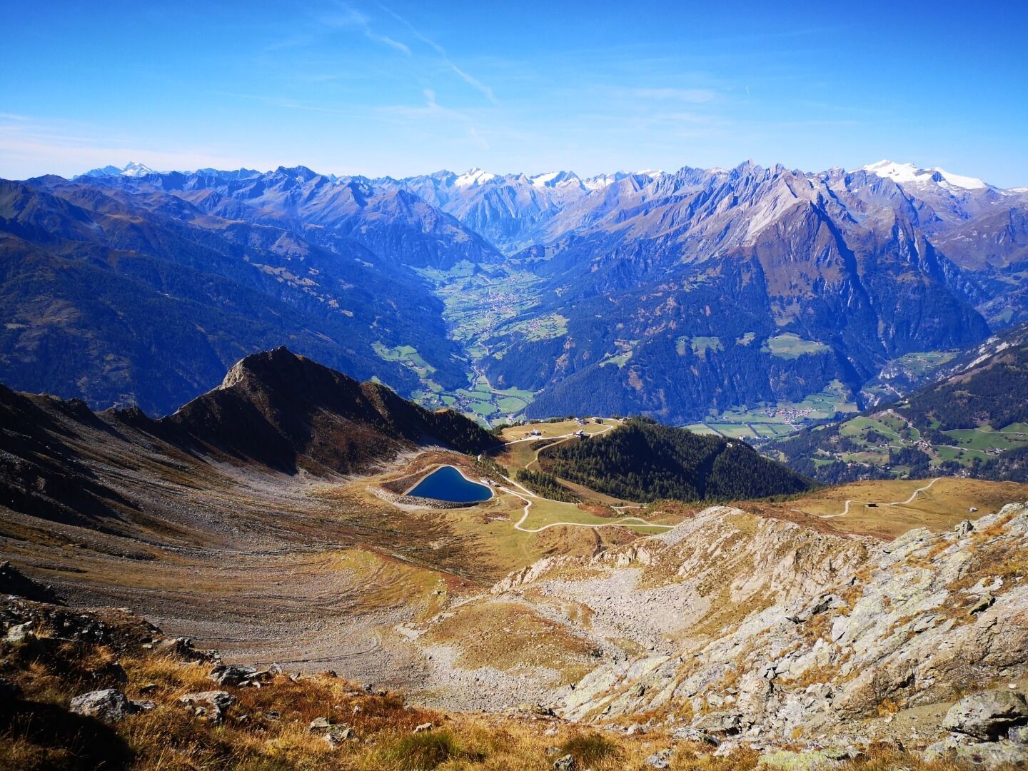
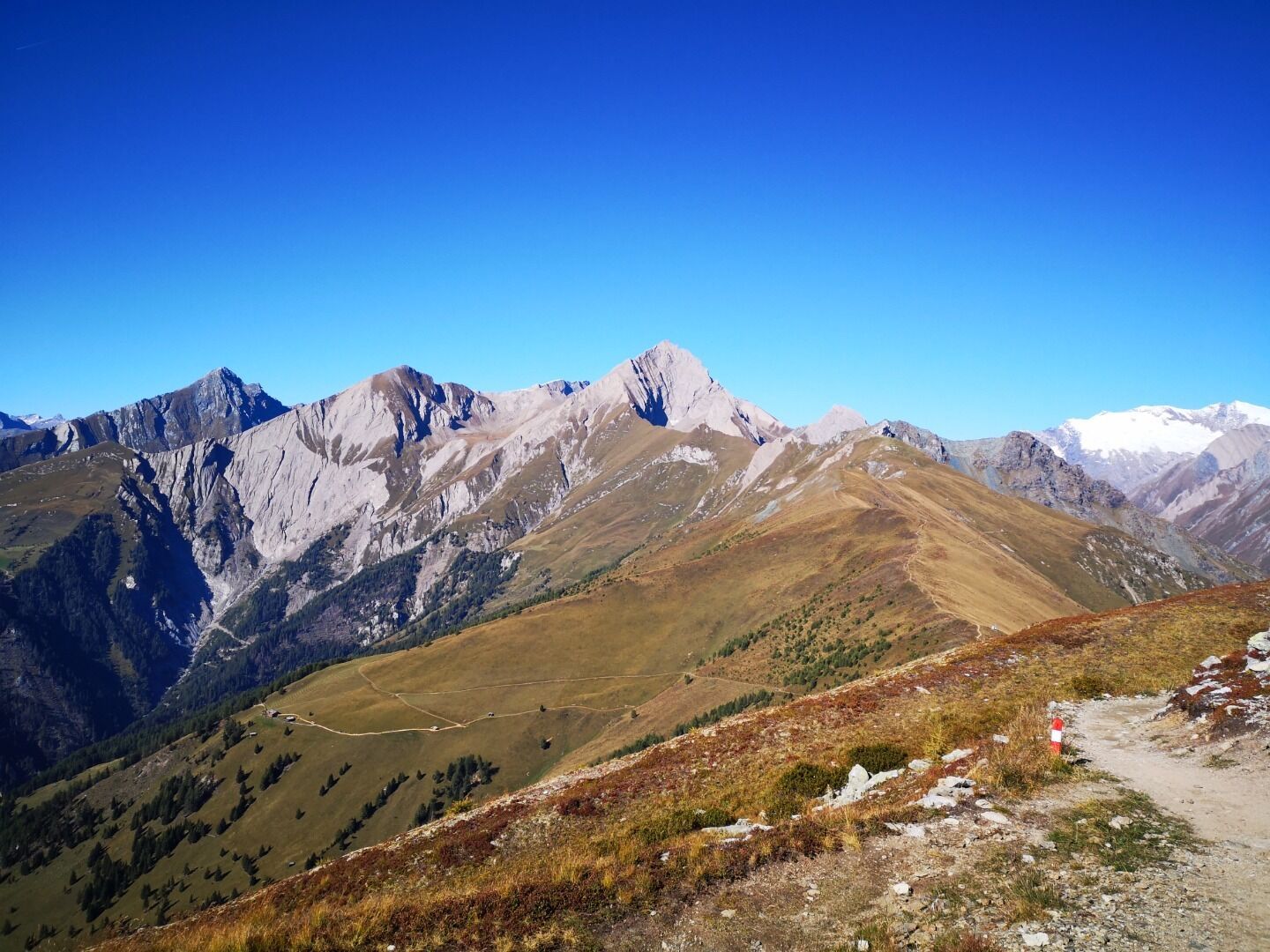
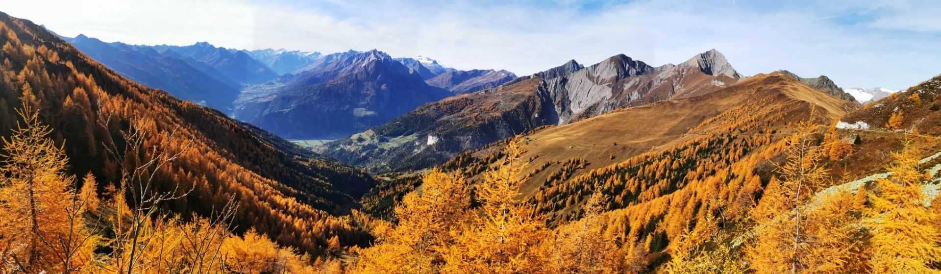
You will then reach the hut Bergrestaurant Glocknerblick in Kals am Großglockner via species-rich mountain meadows. The summit world of the Hohe Tauern National Park with over 66 three-thousand-metre peaks accompanies you at every turn. Großglockner, Großvenediger, Rotspitze and Glödis are just a few famous examples.
The way back can be done in the same way or you can descend to Kals am Großglockner and take bus line 952 or 951 back to Matrei in Osttirol.

Nearby huts and mountain restaurants

More tours in the surrounding area

  • Lasörling altitude trail

    Difficulty:medium
    Length:57.0 kmDuration:25:00 hElevation uphill:3,740 m
  • Venediger altitude trail

    Difficulty:difficult
    Length:55.5 kmDuration:27:00 hElevation uphill:3,915 m
  • Figerhorn

    Difficulty:difficult
    Length:6.5 kmDuration:6:00 hElevation uphill:807 m
  • Muhs panorama trail

    Difficulty:medium
    Length:15.2 kmDuration:6:00 hElevation uphill:1,090 m
  • Theme path "Virgen crossroads"

    Difficulty:easy
    Length:3.2 kmDuration:1:00 hElevation uphill:104 m
  • Lasörling 3.098m

    Difficulty:difficult
    Length:22.0 kmDuration:12:00 hElevation uphill:1,940 m
  • Circular walk church St. Nikolaus

    Difficulty:easy
    Length:5.4 kmDuration:1:39 hElevation uphill:150 m
  • Hike to Kalser Tauernhaus

    Difficulty:medium
    Length:12.2 kmDuration:4:00 hElevation uphill:244 m
  • Hiking tour to Neue Sajathütte 2.600m

    Difficulty:medium
    Length:10.3 kmDuration:6:50 hElevation uphill:1,086 m
  • Hiking tour to Zupalsee Hütte 2.350m

    Difficulty:medium
    Length:14.9 kmDuration:8:30 hElevation uphill:1,261 m
  • Hiking tour to St. Pöltner Hütte and 3 lakes

    Difficulty:difficult
    Length:14.8 kmDuration:7:40 hElevation uphill:1,119 m
  • Hike to Neuen Reichenberger Hütte

    Difficulty:medium
    Length:18.2 kmDuration:9:00 hElevation uphill:1,252 m
  • Hiking tour to Lasörlinghütte 2.350m

    Difficulty:medium
    Length:14.6 kmDuration:7:50 hElevation uphill:1,135 m
  • Lucknerhaus - Stüdlhütte

    Difficulty:medium
    Length:9.3 kmDuration:4:30 hElevation uphill:862 m
  • Badener Hütte

    Difficulty:difficult
    Length:23.2 kmDuration:12:00 hElevation uphill:1,754 m
  • Böses Weibl

    Difficulty:difficult
    Length:14.1 kmDuration:8:00 hElevation uphill:1,193 m
  • Hike to the Venedigerhaus Innergschlöß

    Difficulty:easy
    Length:8.6 kmDuration:2:30 hElevation uphill:184 m
  • Eagle Walk Stage O1: Ströden - Johannis Hütte

    Difficulty:medium
    Length:13.0 kmDuration:6:30 hElevation uphill:1,430 m
Newsletter

The mountain is calling? So does our newsletter!

In our monthly newsletter we reveal the best holiday tips for Tyrol.