Hut hike Hike Östliche Sattelköpfe 2.697m

Nußdorf-Debant / Schober Group
Difficulty ratings: medium
Route length: 9.0 km
Duration: 3:45 h

A worthwhile destination for a scenic mountain hike.
Tour information

  • Requirement: medium
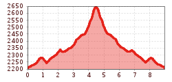
  • Length: 9.0 km
  • Duration: 3:45 h
  • Elevation uphill:527 hm
  • Elevation downhill:527 hm
Highest point2,647 m

Starting point

Steinermandlbahn mountain station

Finishing point

Östlicher Sattelkopf
  • Fitness level 3 / 6
  • Technique 3 / 6

Best time of year

  • January
  • February
  • March
  • April
  • May
  • June
  • July
  • August
  • September
  • October
  • November
  • December

Trail condition

Hiking trail, path

Equipment

Basic equipment for mountain hiking includes sturdy hiking boots with good tread, a 30-35 liter backpack, and functional clothing based on the layering principle, including sufficient spare clothes. Essential items are rain, cold, and sun protection, adequate fluids and provisions, as well as a first-aid kit and a charged mobile phone. A map or a GPS device supports orientation. 

This information serves as a guideline and does not claim to be exhaustive. Equipment must always be adapted to the tour destination, weather conditions, season, natural hazards, environmental influences, and personal needs.

Source: TVB Osttirol

Description

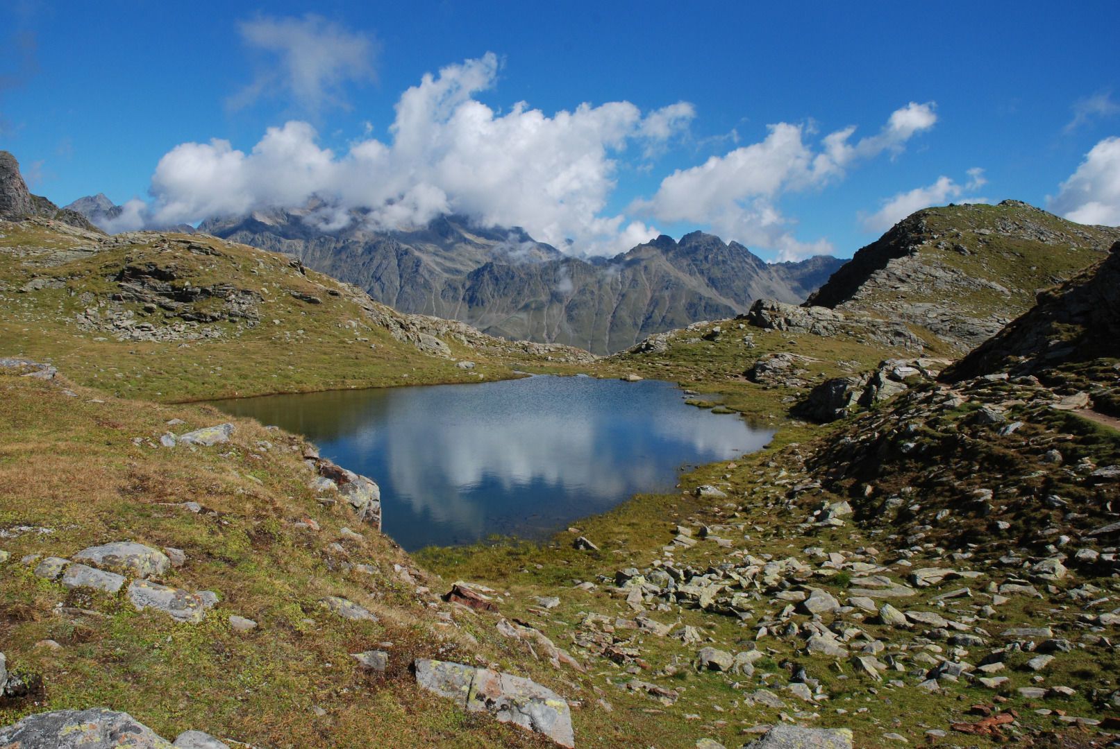
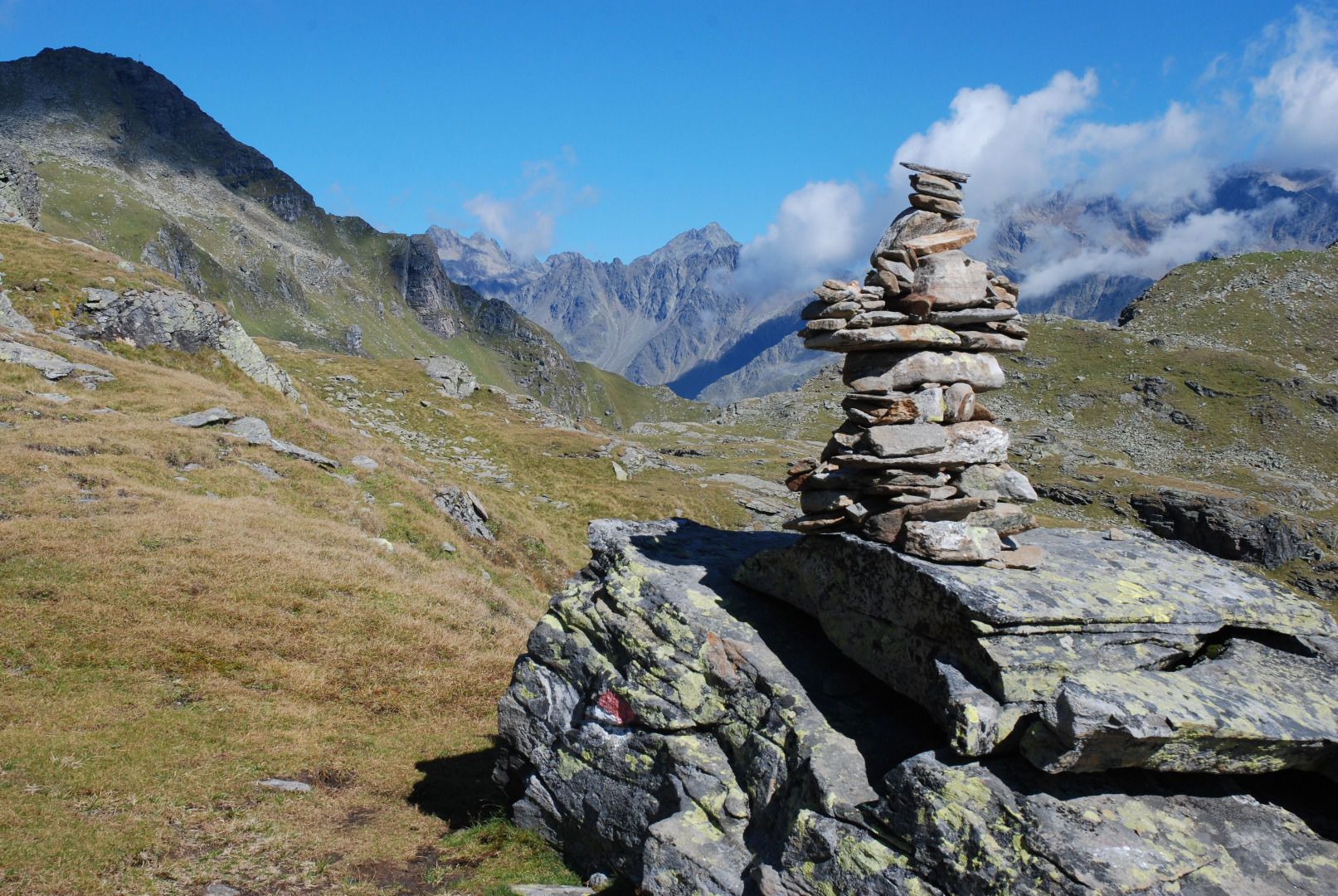
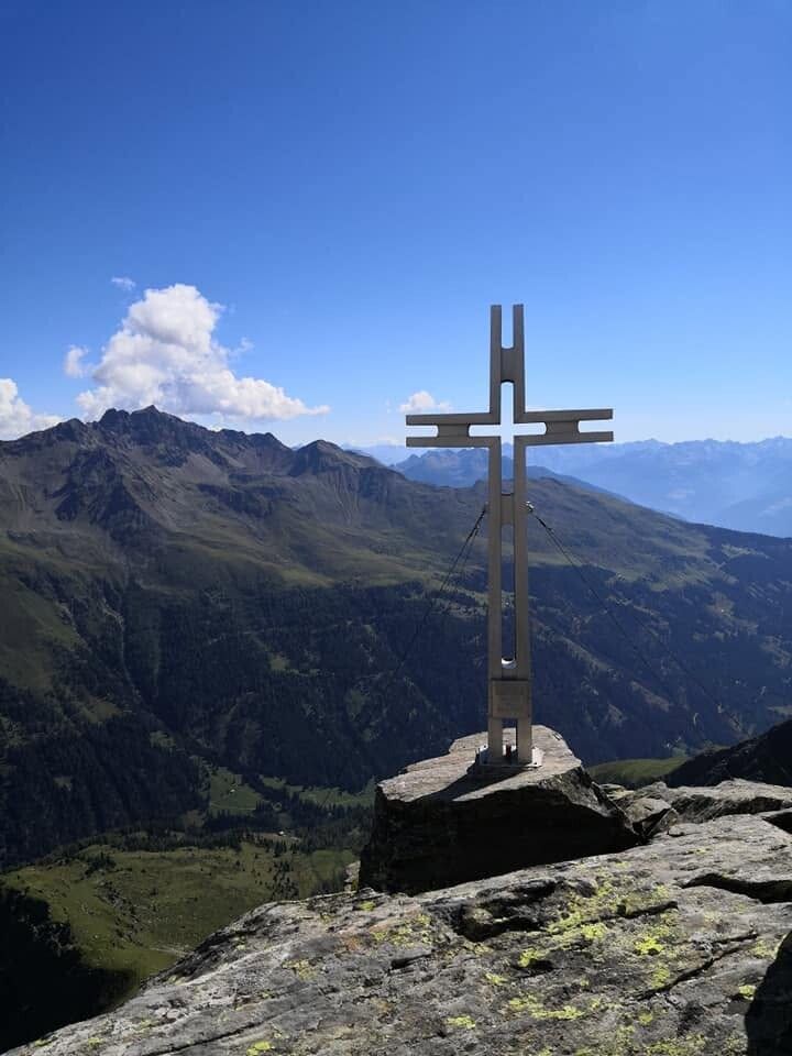
The hike leads from the Bergstation der Steinermandlbahn initially through alpine pastures towards Neualplseen, in the Hohe Tauern National Park. From there, a short, steep mountain path leads to the summits of the östlichen Sattelköpfe – offering wide views of the Dolomites and the Lienz valley floor. The return journey follows the same route.

Nearby huts and mountain restaurants

Getting here

  • Arrival by public transport

    Gaimberg Zettersfeldbahn bus stop. From the bus stop, take the cable cars Lienzer Bergbahnen up to Zettersfeld or to the Steinermandl mountain station.

  • Parking

    Parking lot Zettersfeld Zentrum or Parking lot Zettersfeld Talstation. 

Weather

Today

clear sky
12°C/-1°C
55%0.2l5 km/h

Sun

light rain showers
8°C/0°C
60%1.3l5 km/h

Mon

clear sky
8°C/-1°C
5%0l5 km/h
Go to weather forecast

More tours in the surrounding area

  • Herz-Ass Villgratental

    Difficulty:medium
    Length:75.6 kmDuration:34:00 hElevation uphill:5,703 m
  • Muhs panorama trail

    Difficulty:medium
    Length:15.2 kmDuration:6:00 hElevation uphill:1,090 m
  • Hike to Neuen Reichenberger Hütte

    Difficulty:medium
    Length:18.2 kmDuration:9:00 hElevation uphill:1,252 m
  • Hike to Kalser Tauernhaus

    Difficulty:medium
    Length:12.2 kmDuration:4:00 hElevation uphill:244 m
  • Hiking tour to Lasörlinghütte 2.350m

    Difficulty:medium
    Length:14.6 kmDuration:7:50 hElevation uphill:1,135 m
  • Hiking tour to Zupalsee Hütte 2.350m

    Difficulty:medium
    Length:14.9 kmDuration:8:30 hElevation uphill:1,261 m
  • The Höfe Trail

    Difficulty:easy
    Length:51.2 kmDuration:10:15 hElevation uphill:1,988 m
  • Hiking tour to Neue Sajathütte 2.600m

    Difficulty:medium
    Length:10.3 kmDuration:6:50 hElevation uphill:1,086 m
  • Hike to the Venedigerhaus Innergschlöß

    Difficulty:easy
    Length:8.6 kmDuration:2:30 hElevation uphill:184 m
  • Glödis via ferrata route

    Opening hours:open
    Difficulty:BExposition:SE
    Duration:1:00 hDuration:4:00 hElevation difference:230 m
  • Figerhorn

    Difficulty:difficult
    Length:6.6 kmDuration:6:00 hElevation uphill:811 m
  • Theme path "Virgen crossroads"

    Difficulty:easy
    Length:3.2 kmDuration:1:00 hElevation uphill:104 m
  • Lasörling altitude trail

    Difficulty:medium
    Length:55.4 kmDuration:25:00 hElevation uphill:3,718 m
  • Venediger altitude trail

    Difficulty:difficult
    Length:55.5 kmDuration:27:00 hElevation uphill:3,975 m
  • Children's mile Golzentipp

    Difficulty:easy
    Length:3.7 kmDuration:2:00 hElevation uphill:140 m
  • Böses Weibele

    Difficulty:medium
    Length:13.6 kmDuration:6:30 hElevation uphill:965 m
  • Badener Hütte

    Difficulty:difficult
    Length:23.2 kmDuration:12:00 hElevation uphill:1,754 m
Newsletter

The mountain is calling? So does our newsletter!

In our monthly newsletter we reveal the best holiday tips for Tyrol.