
Opening hours:Today closed
Place:Virgen
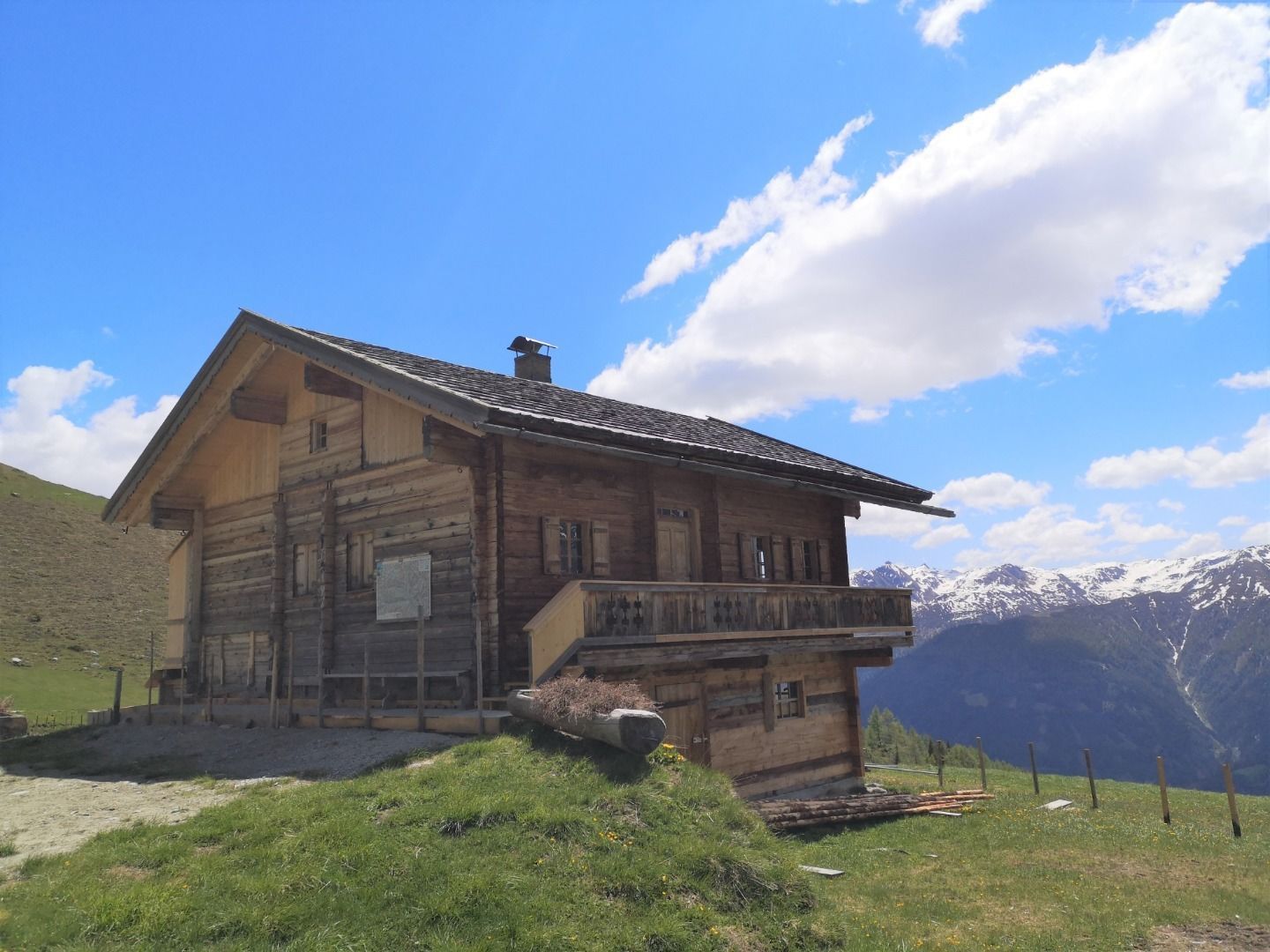
:Alpine pasture / hut / mountain restaurant
Family hike – hospitality of Osttirol included
Tarmac, gravel, hiking trail
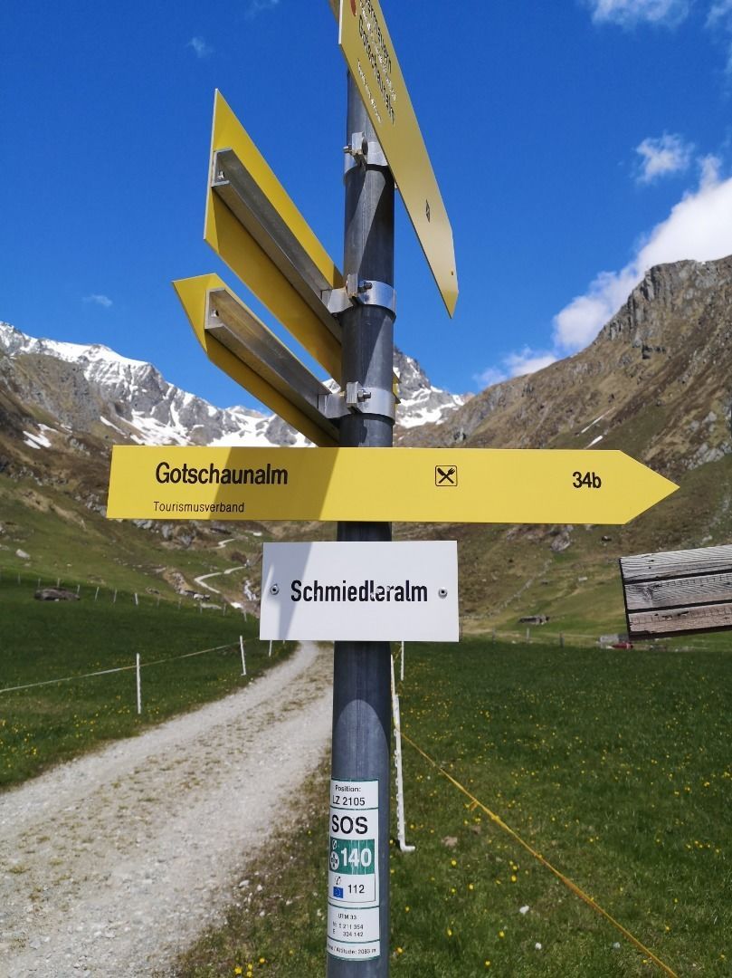
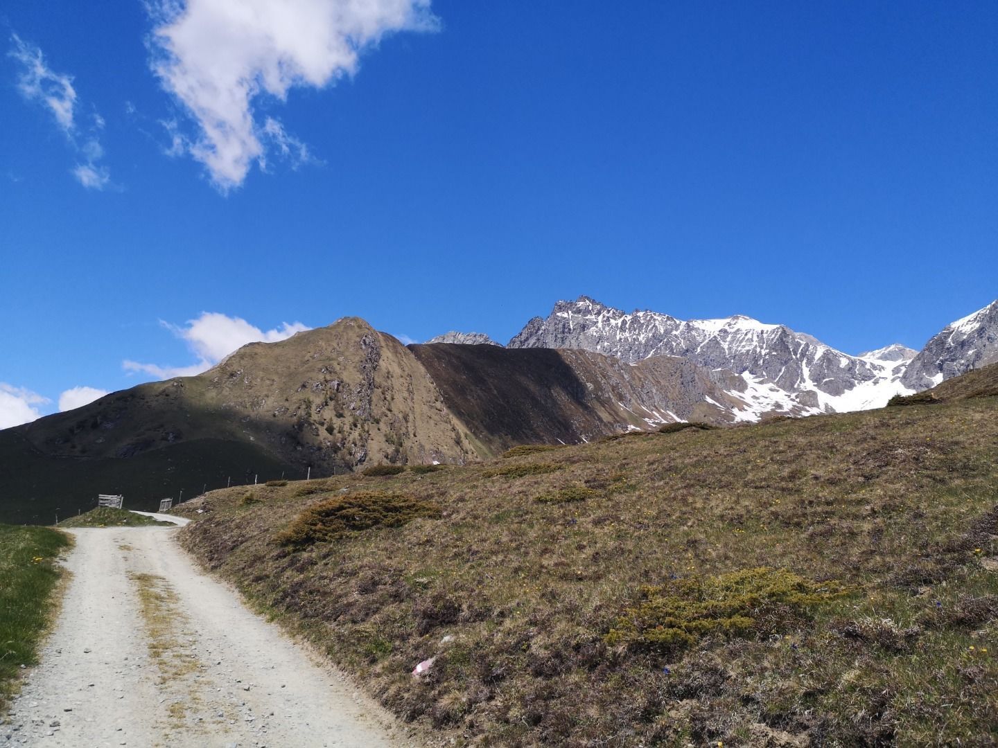
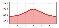
The ascent starts at the parking place Budam, to which you get from the district Obermauern. The way up to the Schmiedleralm takes about 2 to 2,5 hours. The driveway from Budam leads to a rather narrow walkway, which you follow across alpine pastures through the valley Großes Nilltal all the way to the hut Nilljochhütte. From here, it is just a few hundred more metres on another alpine driveway before you reach the Schmiedleralm.
Vigen Abzw. Obermauern
Car park Budam


")


www.bergpixel.de")


