
Opening hours:Open today
Place:Matrei in Osttirol
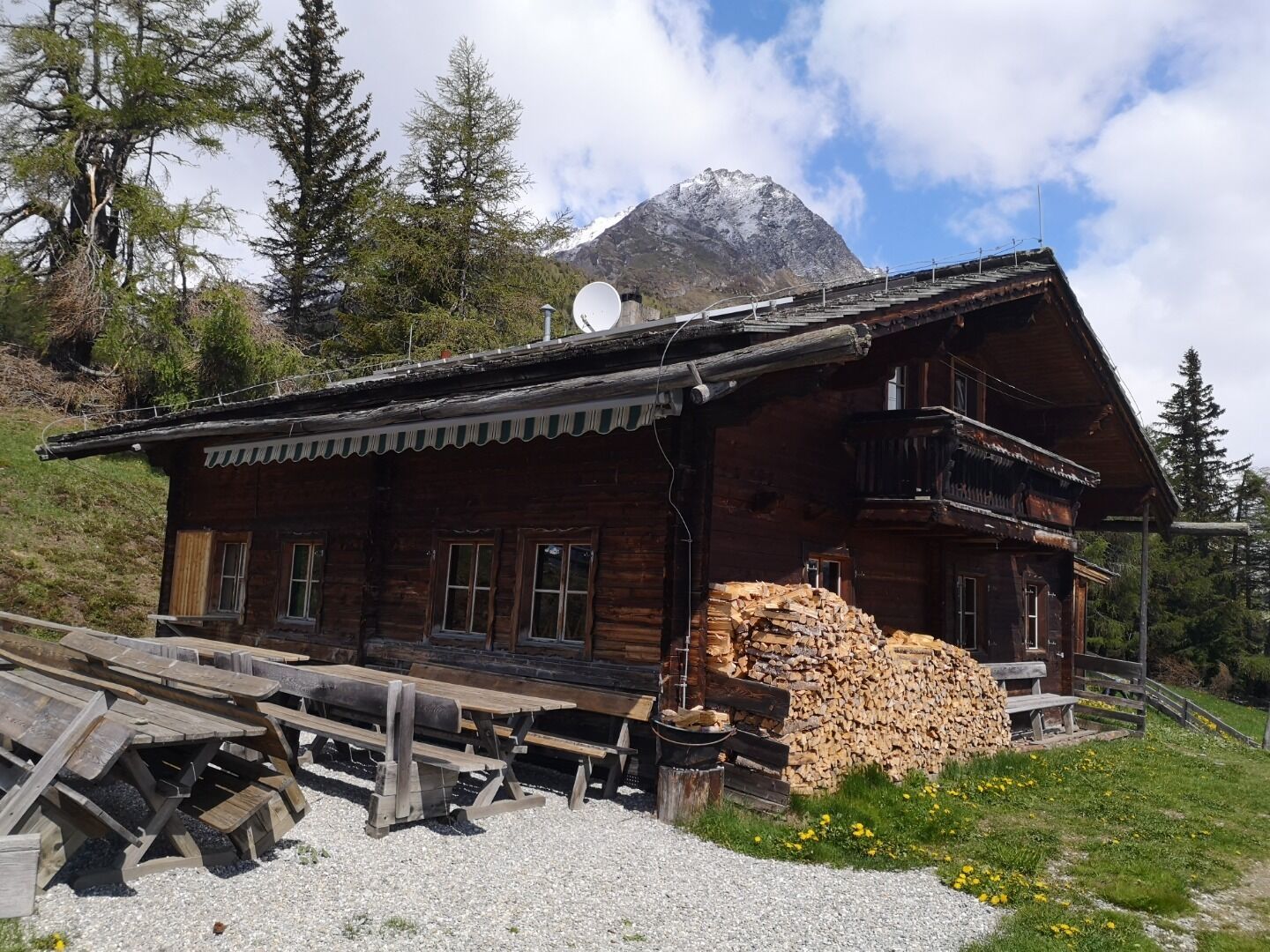
:Alpine pasture / hut / mountain restaurant
Past the giant trees in Zedlach Paradise
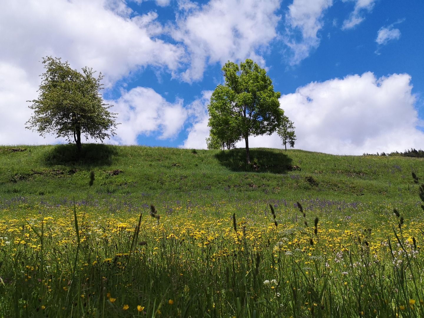
This hiking tour for the whole family starts at the parking place Zedlacher Paradies. From there, walk first of all along the thematic path Zedlacher Paradies. After about 20 minutes, you will get to a path on the left, which you have to follow until reaching the forest road. Especially the imposing larch trees, several hundred years old, characterise this area, which is also known as "Zedlach Paradise".
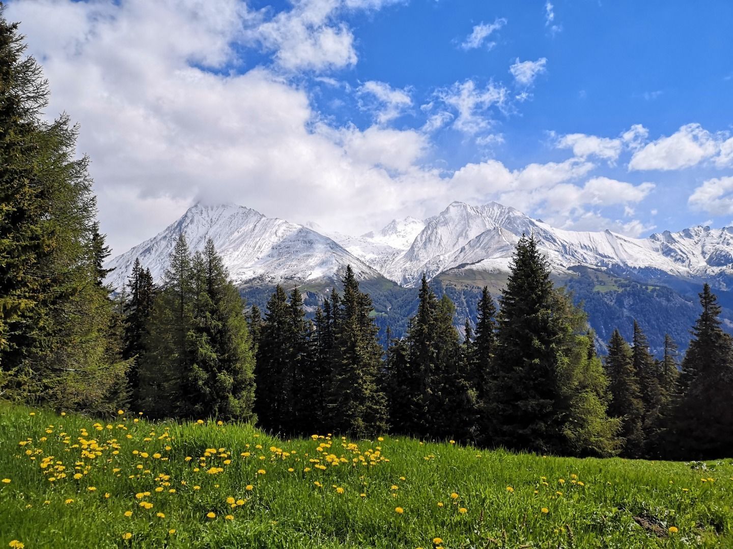
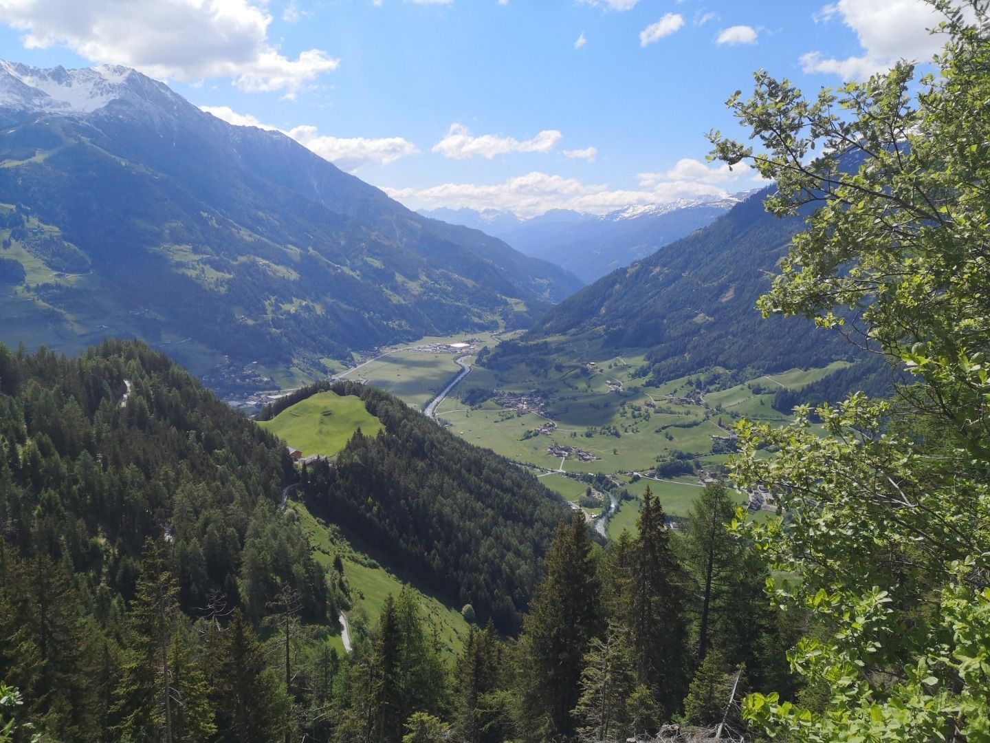
From the terrace of the Wodenalm you can enjoy a breath-taking view of various mountain ranges.
Matrei in Osttirol Korberplatz
Car park Zedlacher Paradies


www.bergpixel.de")


