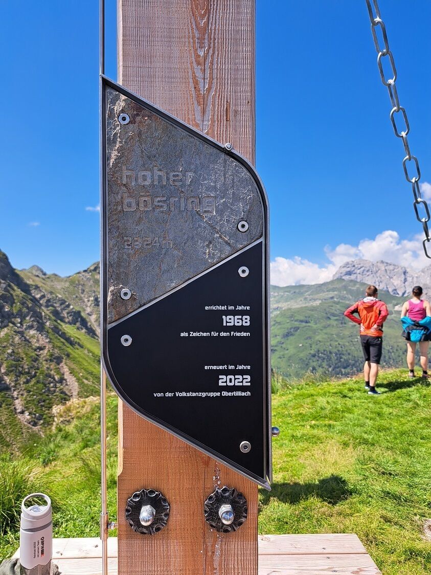
Mountain hikes Hoher Bösring 2,324 m

Obertilliach / Carnic Main Crest
Difficulty ratings: medium
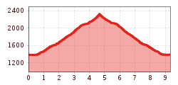
Route length: 6.4 km
Duration: 3:00 h

Hoher Bösring 2,324 m

Tour information

  • Requirement: medium
  • Length: 6.4 km
  • Duration: 3:00 h
  • Elevation uphill:940 hm
  • Elevation downhill:0 hm
Highest point2,324 m

Starting point

Biathlonzentrum Obertilliach

Finishing point

Hoher Bösring
  • Fitness level 3 / 6
  • Technique 3 / 6

Best time of year

  • January
  • February
  • March
  • April
  • May
  • June
  • July
  • August
  • September
  • October
  • November
  • December
Source: TVB Osttirol

Description

Lovely, moderate difficulty level mountain hike which almost anyone can tackle.
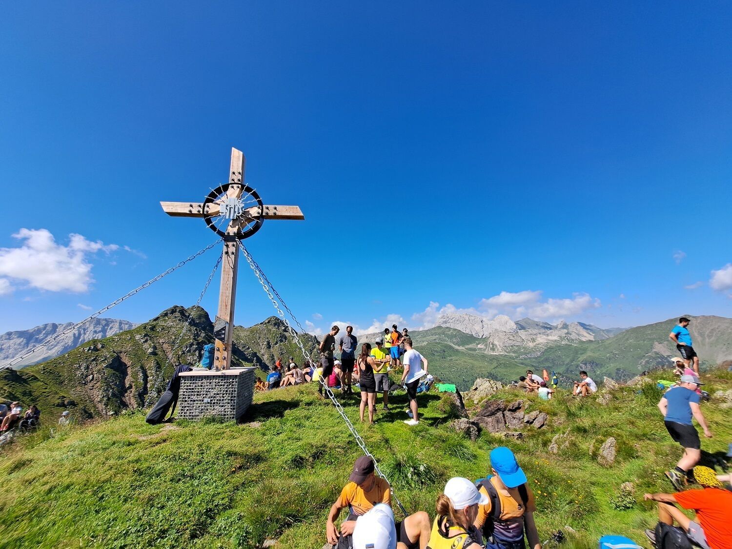
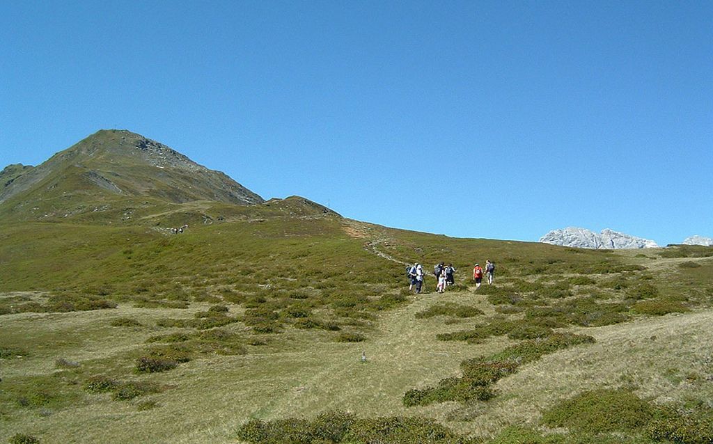
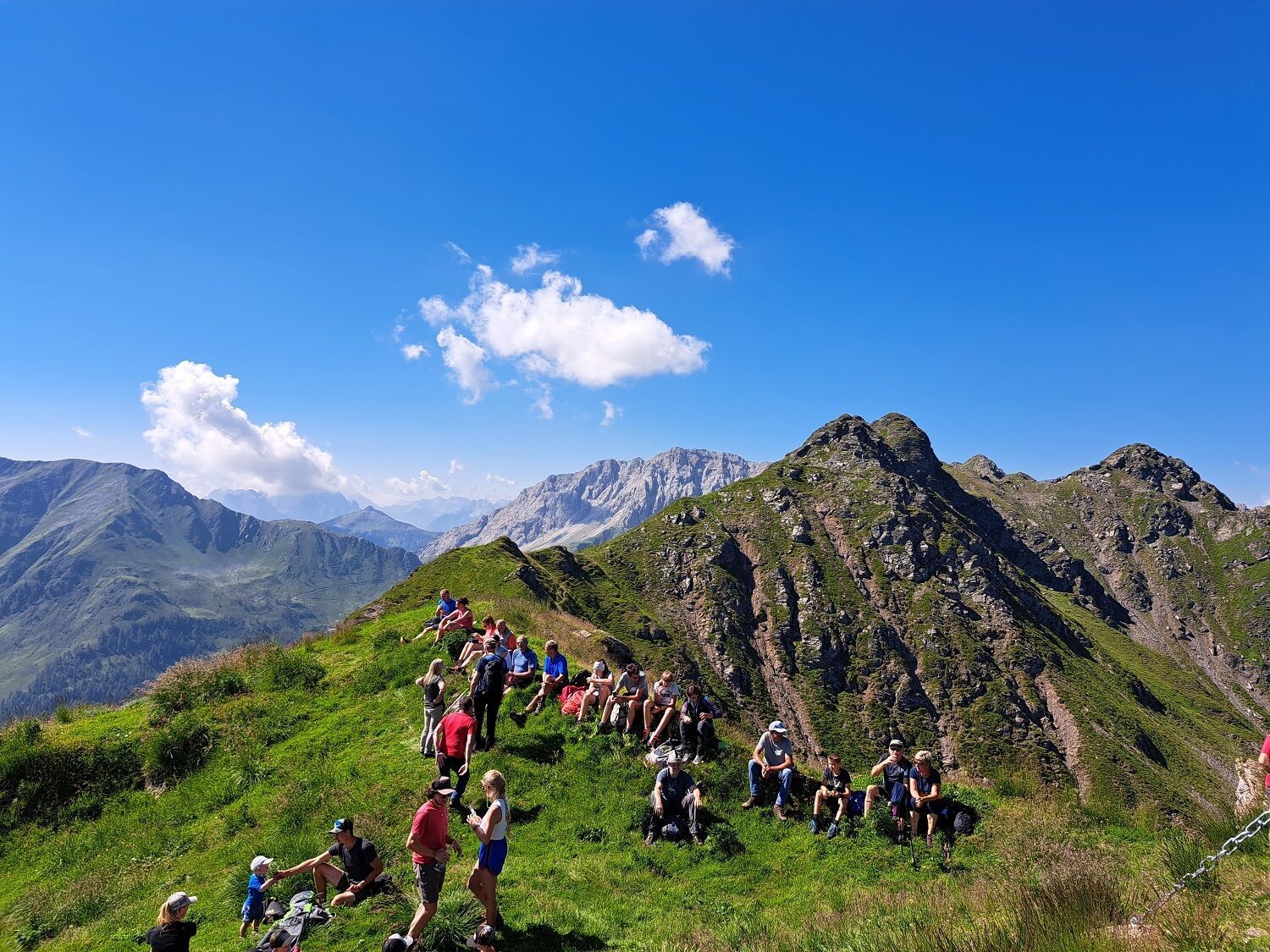
The starting point is the Biathlon centre. Around 150 metres after the Gailbrücke hiking route 16 bears right and proceeds through the forest up to the Scheibrastl above the treeline. Via the Alpine floor, the steep path then proceeds up to the Hohe Bösring, which has been ‘acquired’ by sheep and is relatively steep in the final section.

Getting here

  • Arrival by public transport

    Mit dem Bus bis zur Haltestelle "Obertilliach Biathlonzentrum"

  • Parking

    Parkplatz Biathlonzentrum

Weather

Today

clear sky
13°C/2°C
0%0l5 km/h

Sat

clear sky
16°C/5°C
0%0l5 km/h

Sun

clear sky
17°C/7°C
0%0l5 km/h
Go to weather forecast

More tours in the surrounding area

  • Glödis via ferrata route

    Opening hours:open
    Difficulty:B
    Duration:1:00 hDuration:4:00 hElevation difference:230 m
  • Lasörling altitude trail

    Difficulty:medium
    Length:55.4 kmDuration:25:00 hElevation uphill:3,718 m
  • Venediger altitude trail

    Difficulty:difficult
    Length:55.5 kmDuration:27:00 hElevation uphill:3,975 m
  • Theme path "Virgen crossroads"

    Difficulty:easy
    Length:3.2 kmDuration:1:00 hElevation uphill:104 m
  • Figerhorn

    Difficulty:difficult
    Length:6.6 kmDuration:6:00 hElevation uphill:811 m
  • Muhs panorama trail

    Difficulty:medium
    Length:15.2 kmDuration:6:00 hElevation uphill:1,090 m
  • Herz-Ass Villgratental

    Difficulty:medium
    Length:75.6 kmDuration:34:00 hElevation uphill:5,703 m
  • Children's mile Golzentipp

    Difficulty:easy
    Length:3.7 kmDuration:2:00 hElevation uphill:140 m
  • Iseltrail

    Difficulty:medium
    Length:75.3 kmDuration:24:30 hElevation uphill:2,347 m
  • Badener Hütte

    Difficulty:difficult
    Length:23.2 kmDuration:12:00 hElevation uphill:1,754 m
  • Lucknerhaus - Stüdlhütte

    Difficulty:medium
    Length:9.3 kmDuration:4:30 hElevation uphill:862 m
  • Hiking tour to St. Pöltner Hütte and 3 lakes

    Difficulty:difficult
    Length:14.8 kmDuration:7:40 hElevation uphill:1,119 m
  • Trail Virgentaler Sonnseitenweg

    Difficulty:medium
    Length:41.9 kmDuration:19:00 hElevation uphill:2,641 m
  • Hike to Kalser Tauernhaus

    Difficulty:medium
    Length:12.2 kmDuration:4:00 hElevation uphill:244 m
  • Hiking tour to Neue Sajathütte 2.600m

    Difficulty:medium
    Length:10.3 kmDuration:6:50 hElevation uphill:1,086 m
Newsletter

The mountain is calling? So does our newsletter!

In our monthly newsletter we reveal the best holiday tips for Tyrol.