Mountain hikes Lasörling 3.098m (Aufstieg Prägraten)

Prägraten am Großvenediger / Venedigergruppe
Difficulty ratings: difficult
Route length: 18.6 km
Duration: 12:00 h

Challenging mountain tour to one of the most beautiful panoramic mountains in the Virgen Valley

Tour information

  • Requirement: difficult
  • Length: 18.6 km
  • Duration: 12:00 h
  • Elevation uphill:1,823 hm
  • Elevation downhill:22 hm
Highest point3,098 m

Starting point

Parkplatz Freizeitzentrum Gries

Finishing point

Lasörling 3.098m
  • Fitness level 5 / 6
  • Technique 4 / 6

Best time of year

  • January
  • February
  • March
  • April
  • May
  • June
  • July
  • August
  • September
  • October
  • November
  • December

Trail condition

Tarmac road, gravel road, path (with rope insurance)

Equipment

Good footwear, surefootedness, no fear of heights
Source: TVB Osttirol

Description

You start at the car park at the Freizeitzentrum Gries. From there, follow the yellow signposts labelled "Lasnitzenhütte". The tarmac road leads into a forest path, which you follow to the Lasnitzenhütte. From the hut, you follow the hiking trail no. 314, which splits relatively far back in the valley and now you follow the black mountain trail (no. 82). This trail is partially marked and the last few metres up to the Lasörlingscharte are secured by ropes. The two ascent variants (Virgen ascent & Prägraten ascent) meet at this saddle.
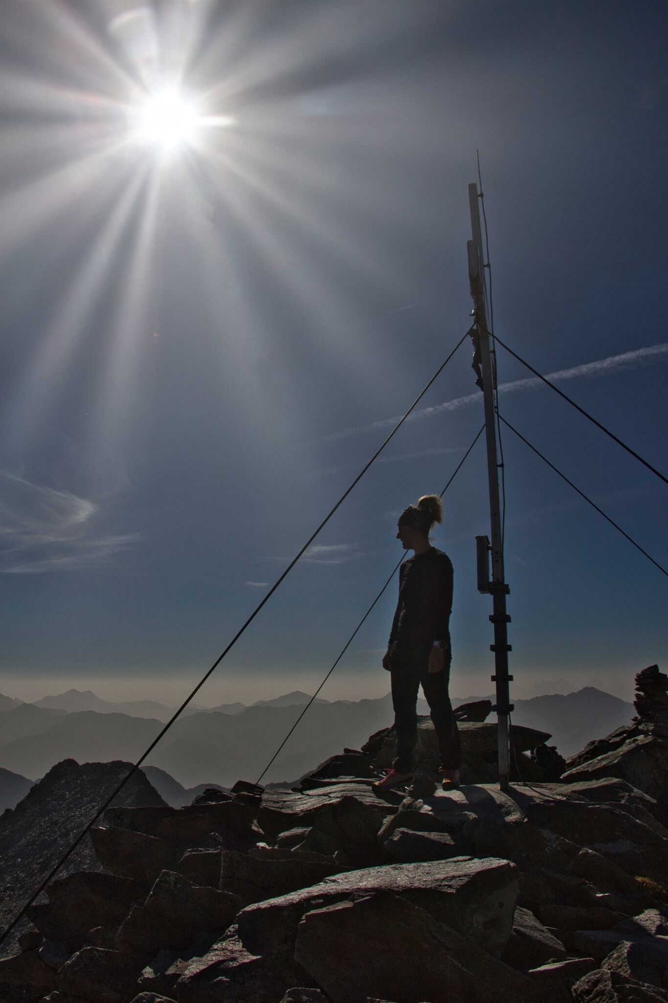
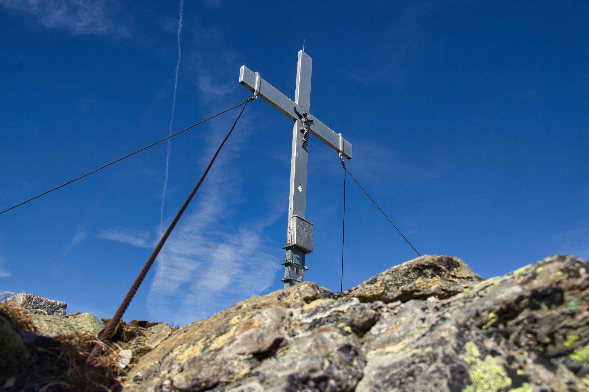
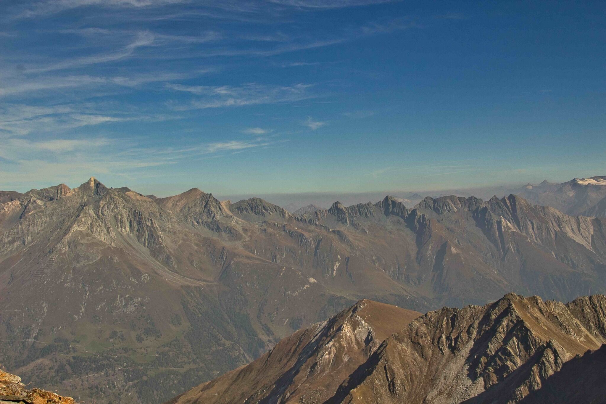
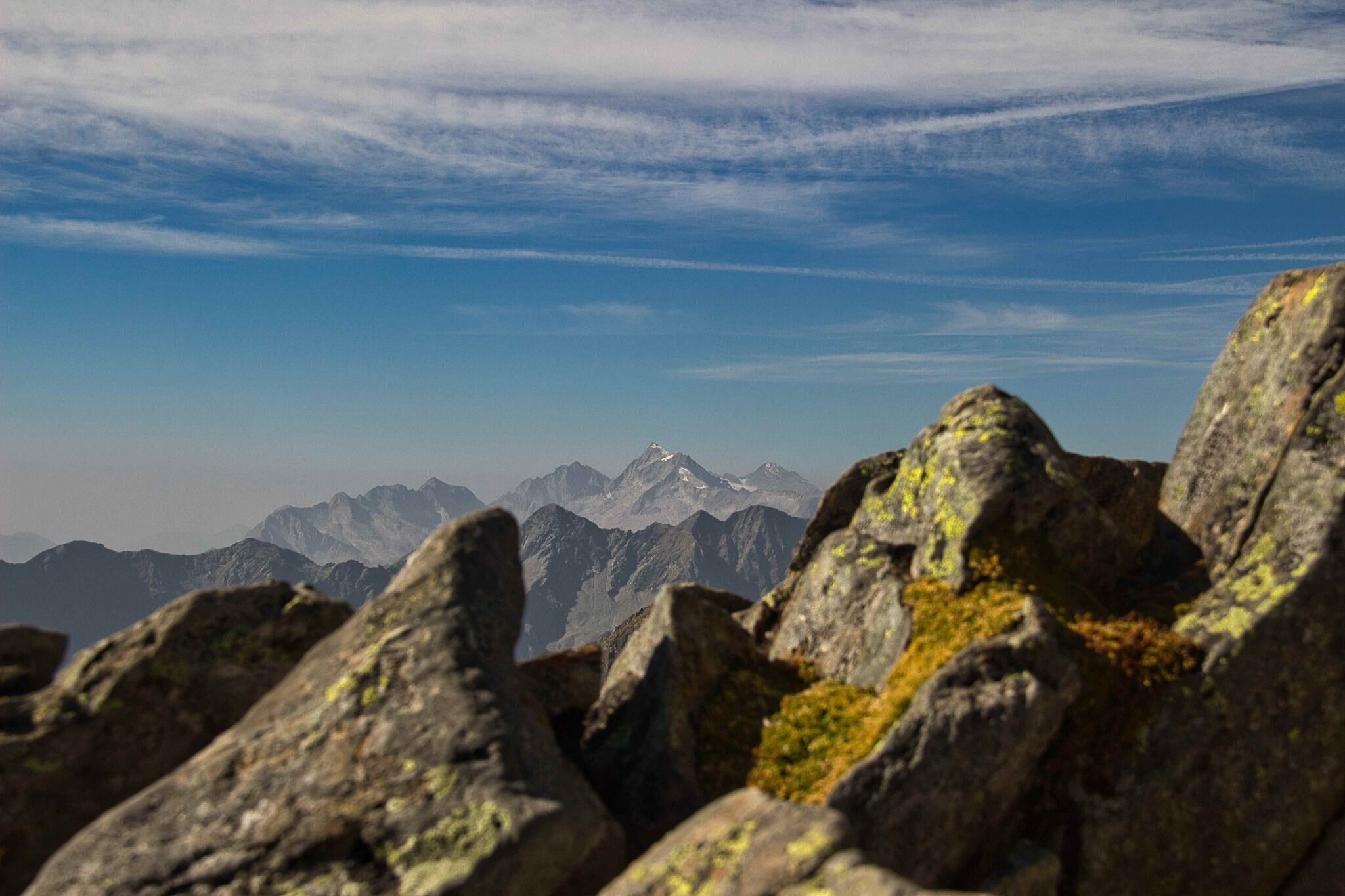
This last section leads past imposing boulders and finally ends at the summit of the Lasörling. The eponymous, highest peak of the Lasörling group offers one of the best views of almost all 3,000 metre peaks in Osttirol and the peaks of the Südtiroler Dolomites.

Nearby huts and mountain restaurants

Getting here

  • Arrival by public transport

    Prägraten a. G. Gemeindeamt

  • Parking

    Freizeitzentrum Gries

More tours in the surrounding area

  • Lasörling altitude trail

    Difficulty: medium
    Length: 57.0 km Duration: 25:00 h Elevation uphill: 3,740 m
  • Venediger altitude trail

    Difficulty: difficult
    Length: 55.5 km Duration: 27:00 h Elevation uphill: 3,915 m
  • Figerhorn

    Difficulty: difficult
    Length: 6.5 km Duration: 6:00 h Elevation uphill: 807 m
  • Hike to the Venedigerhaus Innergschlöß

    Difficulty: easy
    Length: 8.5 km Duration: 2:30 h Elevation uphill: 180 m
  • Rotenkogel

    Difficulty: difficult
    Length: 3.9 km Duration: 3:00 h Elevation uphill: 383 m
  • Lasörling 3.098m

    Difficulty: difficult
    Length: 21.9 km Duration: 12:00 h Elevation uphill: 1,940 m
  • Umbal waterfalls nature force trail

    Difficulty: easy
    Length: 5.8 km Duration: 2:30 h Elevation uphill: 250 m
  • Muhs panorama trail

    Difficulty: medium
    Length: 15.2 km Duration: 6:00 h Elevation uphill: 1,090 m
  • Hike to Neuen Reichenberger Hütte

    Difficulty: medium
    Length: 9.1 km Duration: 9:00 h Elevation uphill: 1,210 m
  • Hiking tour to Lasörlinghütte 2.350m

    Difficulty: medium
    Length: 14.6 km Duration: 7:10 h Elevation uphill: 1,080 m
  • Badener Hütte

    Difficulty: difficult
    Length: 23.2 km Duration: 11:30 h Elevation uphill: 1,750 m
  • Lucknerhaus - Stüdlhütte

    Difficulty: medium
    Length: 9.3 km Duration: 5:30 h Elevation uphill: 862 m
  • Hike to Kalser Tauernhaus

    Difficulty: medium
    Length: 12.2 km Duration: 4:00 h Elevation uphill: 244 m
  • Hiking tour to Neue Sajathütte 2.600m

    Difficulty: medium
    Length: 10.3 km Duration: 6:50 h Elevation uphill: 1,080 m
  • Böses Weibl

    Difficulty: difficult
    Length: 14.1 km Duration: 8:00 h Elevation uphill: 1,193 m
  • Eagle Walk Stage O1: Ströden - Johannis Hütte

    Difficulty: medium
    Length: 13.0 km Duration: 6:30 h Elevation uphill: 1,430 m
Newsletter

The mountain is calling? So does our newsletter!

In our monthly newsletter we reveal the best holiday tips for Tyrol.