Mountain hikes Lavanter Kolm

Tristach / Gailtal Alps
Difficulty ratings: medium
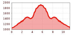
Route length: 9.4 km
Duration: 5:00 h

Lavanter Kolm

Tour information

  • Requirement: medium
  • Length: 9.4 km
  • Duration: 5:00 h
  • Elevation uphill:900 hm
  • Elevation downhill:890 hm
Highest point1,920 m

Starting point

Kreithof

Finishing point

Lavanter Kolm
  • Fitness level 3 / 6
  • Technique 3 / 6

Best time of year

  • January
  • February
  • March
  • April
  • May
  • June
  • July
  • August
  • September
  • October
  • November
  • December
Source: TVB Osttirol

Description

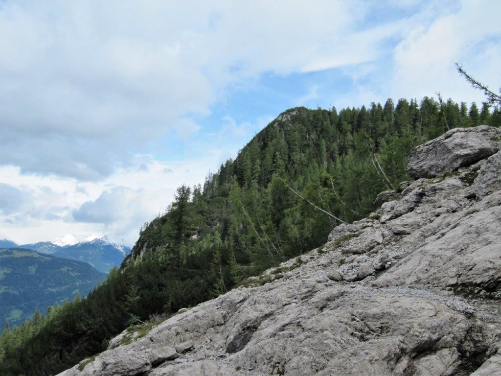
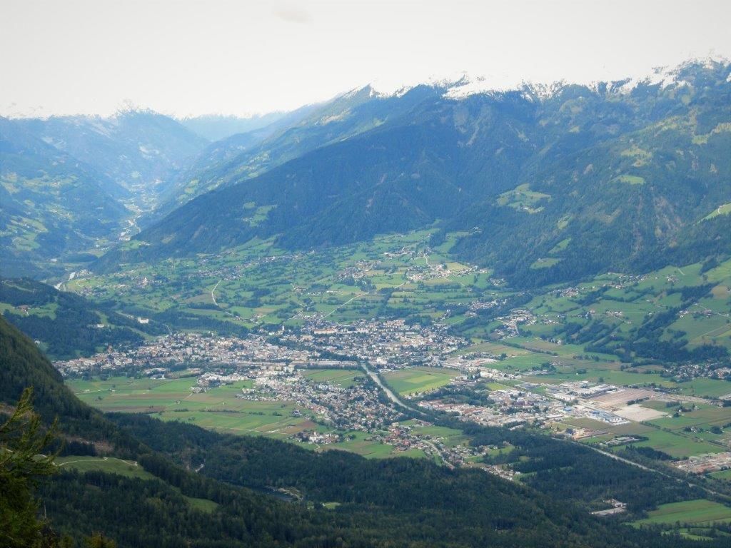
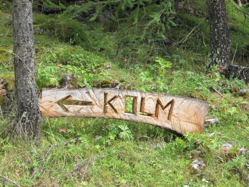
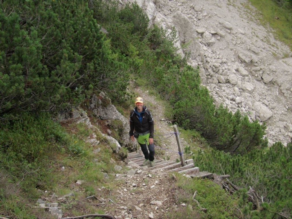
From Kreithof car park follow the standard road for 1 sharp bend. After this first sharp bend bear left, heading south. A narrow path takes you across Lavantaltalp, continue via Kolmsteig to Lavanter Kolm. Wonderful panoramic views across the Lienz valley floor and Drautal.

Getting here

  • Parking

    Parkplatz Kreithof

Weather

Today

light rain showers
24°C/10°C
80%11.8l5 km/h

Thu

light rain
20°C/13°C
80%2.7l5 km/h

Fri

light rain showers
20°C/12°C
75%7.1l5 km/h

More tours in the surrounding area

  • Venediger altitude trail

    Difficulty:difficult
    Length:55.5 kmDuration:27:00 hElevation uphill:3,975 m
  • Figerhorn

    Difficulty:difficult
    Length:6.6 kmDuration:6:00 hElevation uphill:811 m
  • Theme path "Virgen crossroads"

    Difficulty:easy
    Length:3.2 kmDuration:1:00 hElevation uphill:104 m
  • Lasörling altitude trail

    Difficulty:medium
    Length:55.4 kmDuration:25:00 hElevation uphill:3,718 m
  • Muhs panorama trail

    Difficulty:medium
    Length:15.2 kmDuration:6:00 hElevation uphill:1,090 m
  • Herz-Ass Villgratental

    Difficulty:medium
    Length:75.6 kmDuration:34:00 hElevation uphill:5,703 m
  • Hike to the Venedigerhaus Innergschlöß

    Difficulty:easy
    Length:8.6 kmDuration:2:30 hElevation uphill:184 m
  • Children's mile Golzentipp

    Difficulty:easy
    Length:3.7 kmDuration:2:00 hElevation uphill:140 m
  • Iseltrail

    Difficulty:medium
    Length:75.3 kmDuration:24:30 hElevation uphill:2,347 m
  • Trail Virgentaler Sonnseitenweg

    Difficulty:medium
    Length:41.9 kmDuration:19:00 hElevation uphill:2,641 m
  • Badener Hütte

    Difficulty:difficult
    Length:23.2 kmDuration:12:00 hElevation uphill:1,754 m
  • Lucknerhaus - Stüdlhütte

    Difficulty:medium
    Length:9.3 kmDuration:4:30 hElevation uphill:862 m
  • Hiking tour to St. Pöltner Hütte and 3 lakes

    Difficulty:difficult
    Length:14.8 kmDuration:7:40 hElevation uphill:1,119 m
  • Hike to Kalser Tauernhaus

    Difficulty:medium
    Length:12.2 kmDuration:4:00 hElevation uphill:244 m
  • Hiking tour to Neue Sajathütte 2.600m

    Difficulty:medium
    Length:10.3 kmDuration:6:50 hElevation uphill:1,086 m
  • Hiking tour to Zupalsee Hütte 2.350m

    Difficulty:medium
    Length:14.9 kmDuration:8:30 hElevation uphill:1,261 m
Newsletter

The mountain is calling? So does our newsletter!

In our monthly newsletter we reveal the best holiday tips for Tyrol.