Mountain hikes Oblasser Stausee

Kals am Großglockner / Schober Group
Route length: 2.7 km
Duration: 2:00 h

An easy hike at the beginning of the Kals valley

Tour information

  • Length: 2.7 km
  • Duration: 2:00 h
  • Elevation uphill:266 hm
  • Elevation downhill:258 hm
Highest point1,054 m

Starting point

Parking in Unterpeischlach at the snack bar

Finishing point

Parking in Unterpeischlach at the snack bar
  • Fitness level 2 / 6
  • Technique 2 / 6

Best time of year

  • January
  • February
  • March
  • April
  • May
  • June
  • July
  • August
  • September
  • October
  • November
  • December

Trail condition

Hiking trail
Source: TVB Osttirol

Description

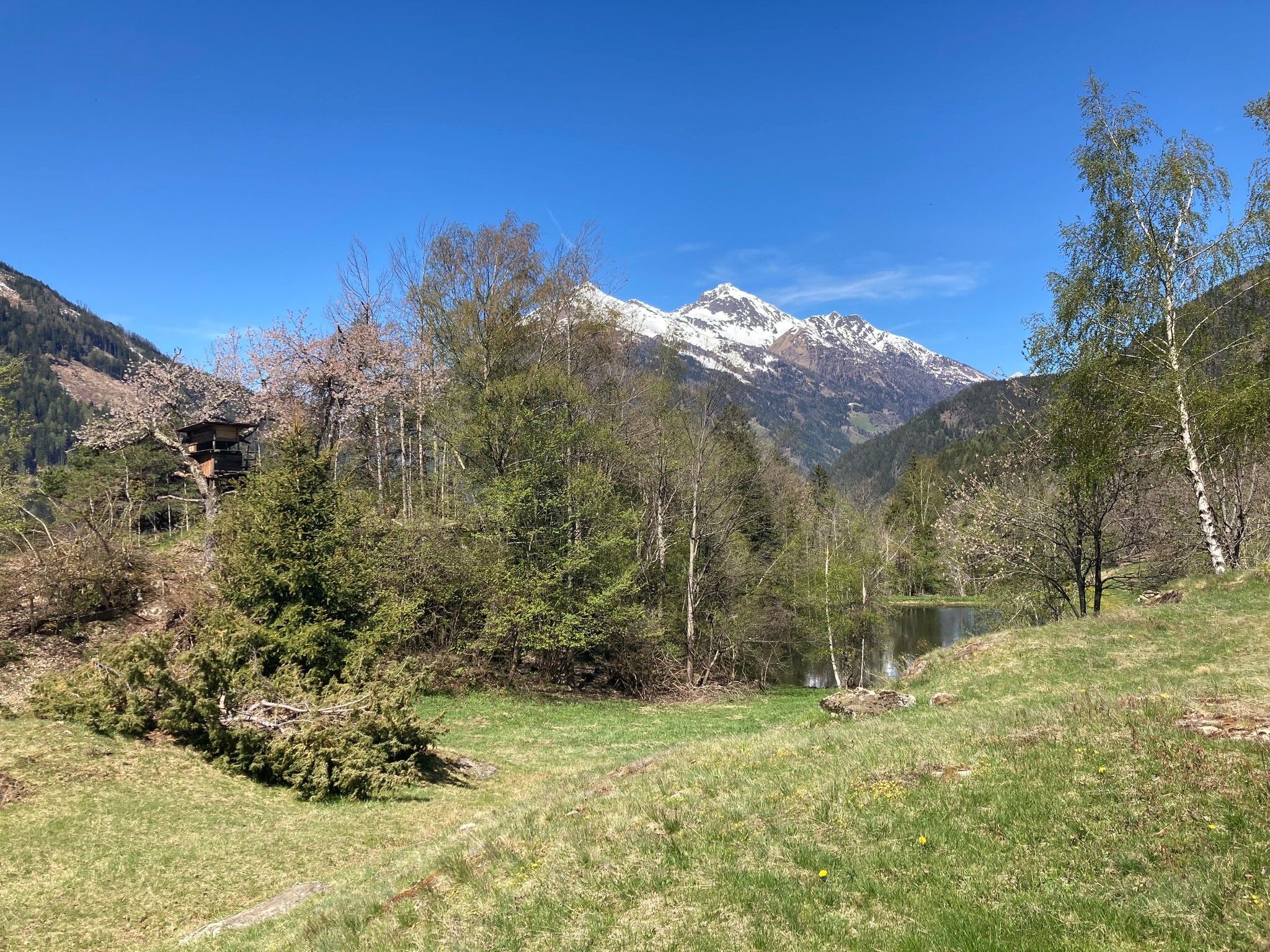
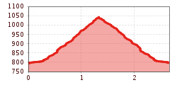
A delightful hike through mixed woodland up to the reservoir on the Kalser Bach. A stunning panoramic view from the lake.

Getting here

  • Arrival by public transport

    Bus line 952 or 951

  • Parking

    Parking Unterpeischlach/Snack bar

More tours in the surrounding area

Newsletter

The mountain is calling? So does our newsletter!

In our monthly newsletter we reveal the best holiday tips for Tyrol.