Mountain hikes Reiter Kirchl

Lienz / Villgraten Mountains
Difficulty ratings: easy
Route length: 2.7 km
Duration: 2:00 h

Tour information

  • Requirement: easy
  • Length: 2.7 km
  • Duration: 2:00 h
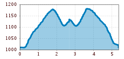
  • Elevation uphill:221 hm
  • Elevation downhill:221 hm
Highest point1,193 m

Starting point

Pustertaler Straße

Finishing point

Reiteralm
  • Fitness level 1 / 6
  • Technique 1 / 6

Best time of year

  • January
  • February
  • March
  • April
  • May
  • June
  • July
  • August
  • September
  • October
  • November
  • December
Source: TVB Osttirol

Description

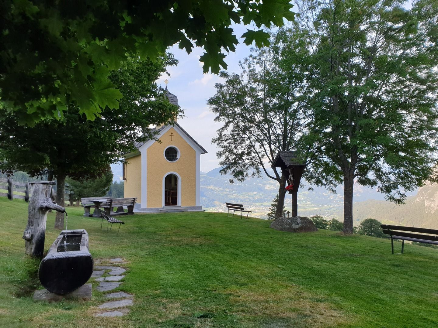
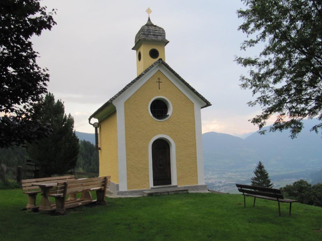
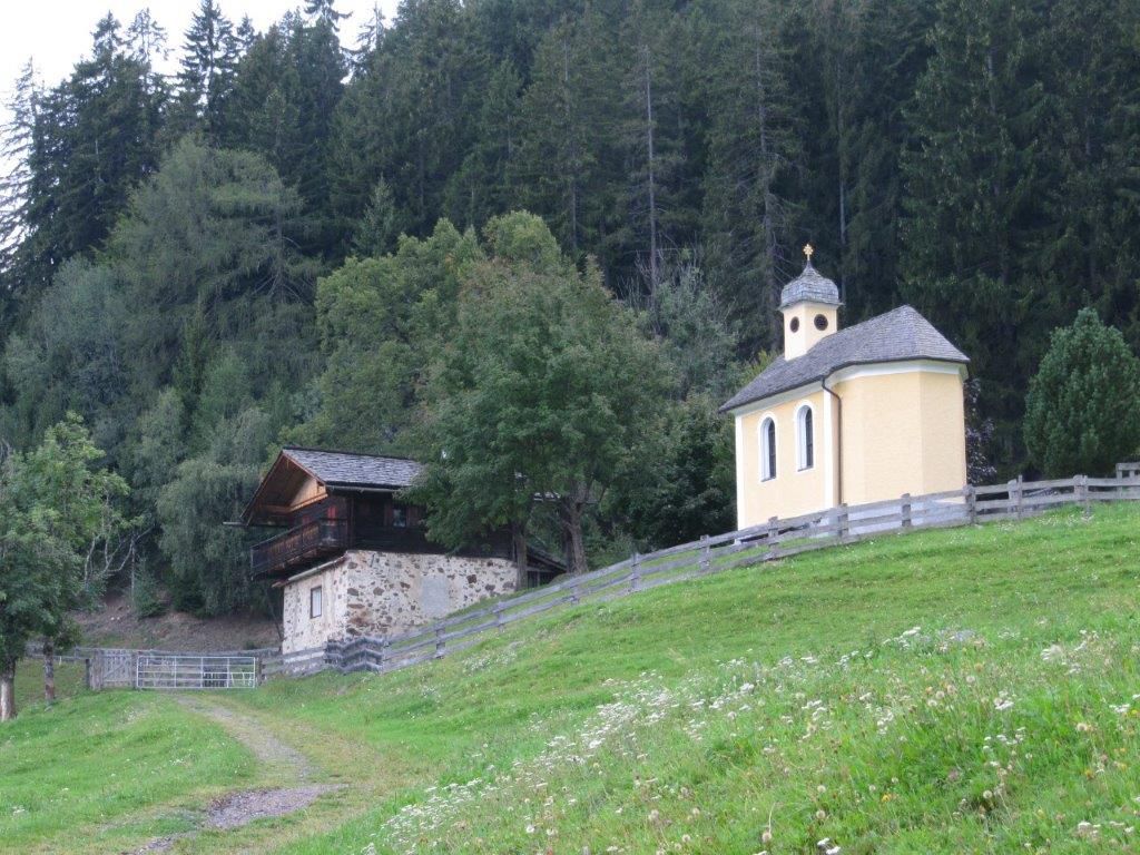
From the mountain station of the Shlossbergbahn on the Moosalm, continue to the rservoir of the Taxerbach and then to the hiking destination Reiter Kirchl (with a beautiful chapel and resting place). The same way back.

Getting here

  • Arrival by public transport

    Mit dem Bus bis zur Bushaltestelle "Lienz Hochstein/Schloss Bruck" und dann mit der Seilbahn bis zur Moosalm.
  • Parking

    Parkplatz Schlossbergbahn Talstation

Weather

Today

partly Cloudy
24°C/13°C
50%0.6l5 km/h

Mon

light rain showers
25°C/14°C
55%4.2l5 km/h

Tue

light rain showers
24°C/14°C
70%6.7l5 km/h
Go to weather forecast

More tours in the surrounding area

Newsletter

The mountain is calling? So does our newsletter!

In our monthly newsletter we reveal the best holiday tips for Tyrol.