Mountain hikes Spitzkofel - via hut Kerschbaumeralm

Amlach / Gailtal Alps
Difficulty ratings: difficult
Route length: 16.6 km
Duration: 9:00 h

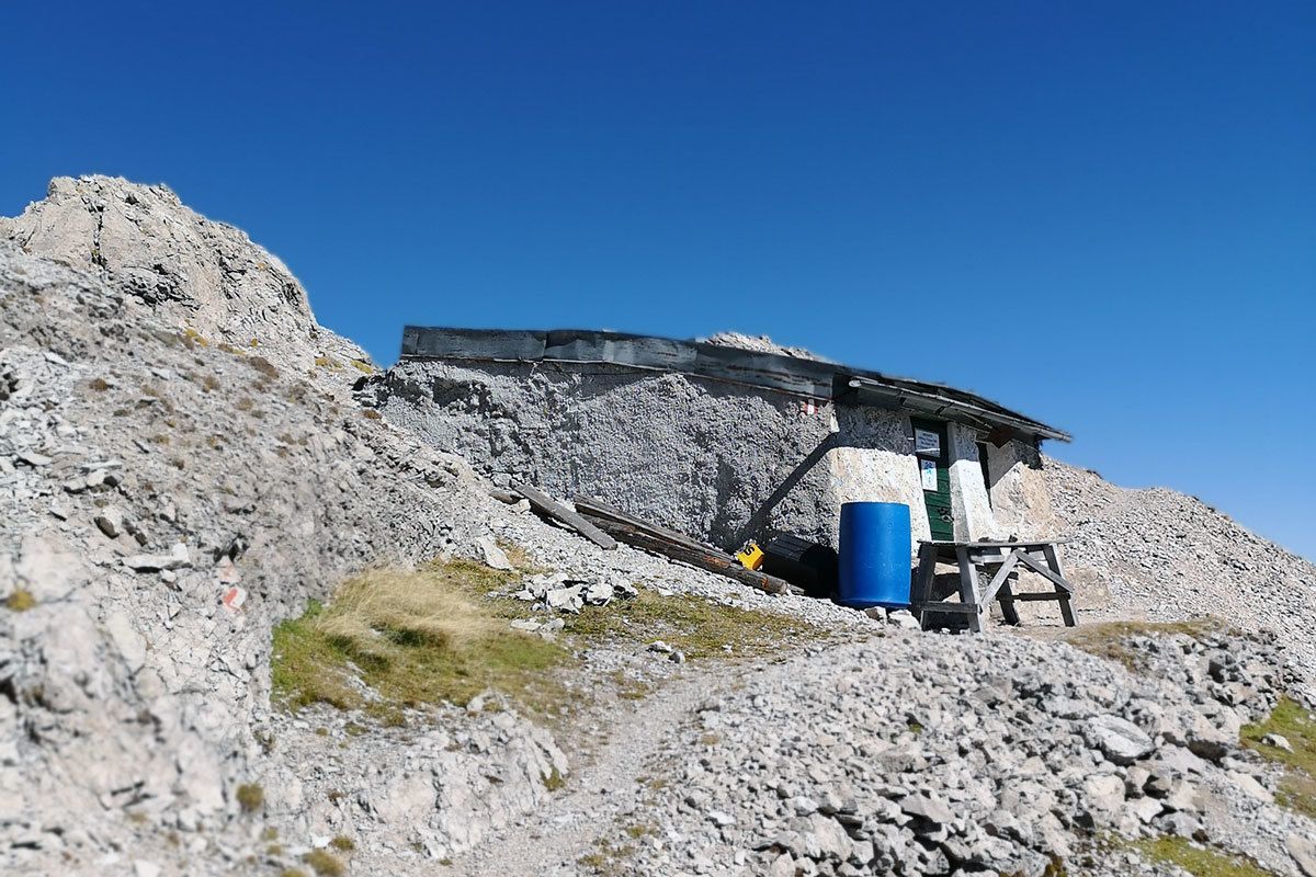
The Spitzkofel, at 2717m, and the Spitzkofel group, dominate Lienz and Drautal and in earlier times it was regarded as the key summit in the Lienz Dolomites. Its five-tor north ridge was in past time a key position for extreme climbing. To get to Lienz’s local mountain more easily, steel cables were set up in sections in the rocky terrain. The secure points begin in the south gorge area and proceed via the rocky sections to Linderhütte on the pre-summit, continuing through the Spitzkofelscharte to the main summit at 2717m. The Linderhütte is the oldest biwak in the Lienz Dolomites.

Tour information

  • Requirement: difficult
  • Length: 16.6 km
  • Duration: 9:00 h
  • Elevation uphill:1,670 hm
  • Elevation downhill:1,690 hm
Highest point2,700 m

Starting point

Lienz, Leisach, direction Kerschbaumeralm, Parkplatz Klammbrückl

Finishing point

Spitzkofel
  • Fitness level 5 / 6
  • Technique 5 / 6

Best time of year

  • January
  • February
  • March
  • April
  • May
  • June
  • July
  • August
  • September
  • October
  • November
  • December

Equipment

Complete via ferrata equipment and helmet. Additional short safety rope is recommended for those who don't have much experience and children!
Source: TVB Osttirol

Description

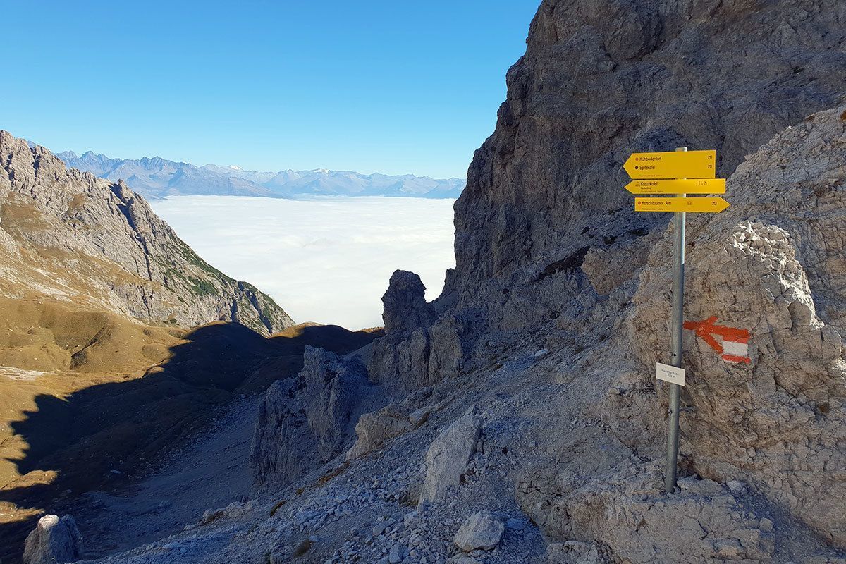
From Klammbrückl car park (natural landmark) up the well signposted path to Kerschbaumeralm, Hallebachtörl and Kuhbodentörl. Continue on the steep path in a northerly direction up to around 2500m. The via ferrata route begins at Linderhütte. Via the descent, secured with steel cable, about 50 m down into the Spitzkofelscharte and after this about 100 m - also steel cable secured - up to the summit at 2717m.

Difficult sections: B. The path is not secured with steel cables throughout (only at the steepest cliff sections), in the easier terrain sure-footedness is required in parts.

Nearby huts and mountain restaurants

Getting here

  • Parking

    Parkplatz Klammbrückl

Weather

Today

clear sky
25°C/8°C
0%0l5 km/h

Wed

light rain showers
25°C/10°C
80%11.7l5 km/h

Thu

light rain
19°C/13°C
80%8.7l5 km/h
Go to weather forecast

More tours in the surrounding area

  • Muhs panorama trail

    Difficulty:medium
    Length:15.2 kmDuration:6:00 hElevation uphill:1,090 m
  • Herz-Ass Villgratental

    Difficulty:medium
    Length:75.6 kmDuration:34:00 hElevation uphill:5,703 m
  • Venediger altitude trail

    Difficulty:difficult
    Length:55.5 kmDuration:27:00 hElevation uphill:3,975 m
  • Figerhorn

    Difficulty:difficult
    Length:6.6 kmDuration:6:00 hElevation uphill:811 m
  • Theme path "Virgen crossroads"

    Difficulty:easy
    Length:3.2 kmDuration:1:00 hElevation uphill:104 m
  • Lasörling altitude trail

    Difficulty:medium
    Length:55.4 kmDuration:25:00 hElevation uphill:3,718 m
  • Circular walk church St. Nikolaus

    Difficulty:easy
    Length:5.4 kmDuration:1:39 hElevation uphill:150 m
  • Lasörling 3.098m

    Difficulty:difficult
    Length:22.0 kmDuration:12:00 hElevation uphill:1,940 m
  • Böses Weibl

    Difficulty:difficult
    Length:14.1 kmDuration:8:00 hElevation uphill:1,193 m
  • Iseltrail

    Difficulty:medium
    Length:75.3 kmDuration:24:30 hElevation uphill:2,347 m
  • Trail Virgentaler Sonnseitenweg

    Difficulty:medium
    Length:41.9 kmDuration:19:00 hElevation uphill:2,641 m
  • Badener Hütte

    Difficulty:difficult
    Length:23.2 kmDuration:12:00 hElevation uphill:1,754 m
  • Lucknerhaus - Stüdlhütte

    Difficulty:medium
    Length:9.3 kmDuration:4:30 hElevation uphill:862 m
  • Hiking tour to St. Pöltner Hütte and 3 lakes

    Difficulty:difficult
    Length:14.8 kmDuration:7:40 hElevation uphill:1,119 m
  • Hike to the Venedigerhaus Innergschlöß

    Difficulty:easy
    Length:8.6 kmDuration:2:30 hElevation uphill:184 m
  • Hike to Kalser Tauernhaus

    Difficulty:medium
    Length:12.2 kmDuration:4:00 hElevation uphill:244 m
  • Hiking tour to Neue Sajathütte 2.600m

    Difficulty:medium
    Length:10.3 kmDuration:6:50 hElevation uphill:1,086 m
  • Hiking tour to Zupalsee Hütte 2.350m

    Difficulty:medium
    Length:14.9 kmDuration:8:30 hElevation uphill:1,261 m
Newsletter

The mountain is calling? So does our newsletter!

In our monthly newsletter we reveal the best holiday tips for Tyrol.