Mountain hikes Village walking trail Prägraten a.G.

Prägraten am Großvenediger / Venedigergruppe
Difficulty ratings: easy
Route length: 3.8 km
Duration: 1:15 h

Village walking trail Prägraten a.G.

Tour information

  • Requirement: easy
  • Length: 3.8 km
  • Duration: 1:15 h
  • Elevation uphill:120 hm
  • Elevation downhill:110 hm
Highest point1,400 m

Starting point

TVB Infobüro

Finishing point

TVB Infobüro
  • Fitness level 1 / 6
  • Technique 1 / 6

Features

  • Circular route
  • Suitable for families

Best time of year

  • January
  • February
  • March
  • April
  • May
  • June
  • July
  • August
  • September
  • October
  • November
  • December

Trail condition

Hiking trail, municipal road
Source: TVB Osttirol

Description

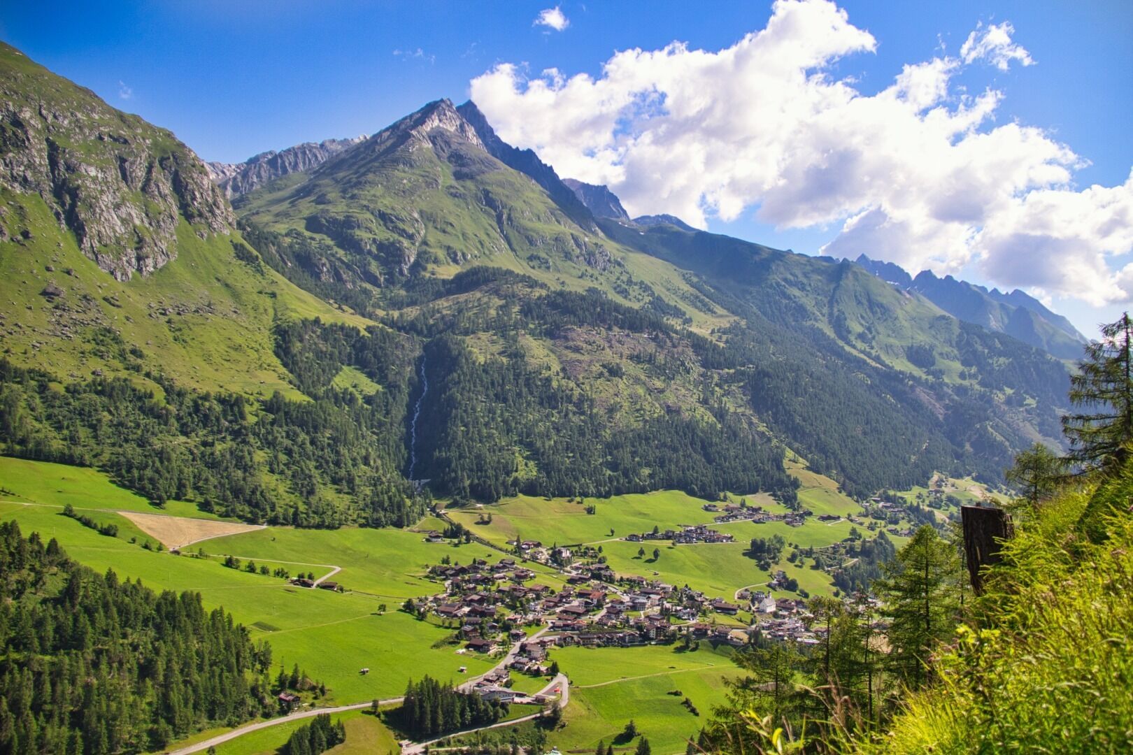
Starting from the tourist information office Prägraten a.G, first walk in an easterly direction to the grocery store "MPreis MiniM". After this, take a sharp left through a short section of forest and return to the road (Wallhorner Gemeindestraße). Turn left at the fork and follow the signs to the chapel "Maria Hilf Kapelle" (approx. 150 metres) in Wallhorn. Follow the municipal road for a little while until reaching a field path. Then walk down along the stream Timmelbach for a few metres and cross the stream over the arched bridge. Continue along the field path until reaching the asphalt road again. Now follow this municipal road down arriving at the main road (Virgener Landesstraße). Once there, turn left again and walk in an easterly direction back to the tourist information office Prägraten a.G.

Nearby huts and mountain restaurants

Getting here

  • Arrival by public transport

    Prägraten a.G. Gemeindeamt

  • Parking

    Parking place Gemeindeamt Prägraten a.G.

More tours in the surrounding area

  • Hike to the Venedigerhaus Innergschlöß

    Difficulty:easy
    Length:8.6 kmDuration:2:30 hElevation uphill:184 m
  • Lucknerhaus - Stüdlhütte

    Difficulty:medium
    Length:9.3 kmDuration:5:30 hElevation uphill:862 m
  • Badener Hütte

    Difficulty:difficult
    Length:23.2 kmDuration:11:30 hElevation uphill:1,754 m
  • Theme path "Virgen crossroads"

    Difficulty:easy
    Length:3.2 kmDuration:1:00 hElevation uphill:104 m
  • Lasörling altitude trail

    Difficulty:medium
    Length:57.0 kmDuration:25:00 hElevation uphill:3,740 m
  • Venediger altitude trail

    Difficulty:difficult
    Length:55.5 kmDuration:27:00 hElevation uphill:3,915 m
  • Figerhorn

    Difficulty:difficult
    Length:6.5 kmDuration:6:00 hElevation uphill:807 m
  • Muhs panorama trail

    Difficulty:medium
    Length:15.2 kmDuration:6:00 hElevation uphill:1,090 m
  • Hike to Neuen Reichenberger Hütte

    Difficulty:medium
    Length:18.2 kmDuration:9:00 hElevation uphill:1,252 m
  • Hiking tour to Lasörlinghütte 2.350m

    Difficulty:medium
    Length:14.6 kmDuration:7:10 hElevation uphill:1,080 m
  • Hike to Kalser Tauernhaus

    Difficulty:medium
    Length:12.2 kmDuration:4:00 hElevation uphill:244 m
  • Hiking tour to Neue Sajathütte 2.600m

    Difficulty:medium
    Length:10.3 kmDuration:6:50 hElevation uphill:1,086 m
  • Rotenkogel

    Difficulty:difficult
    Length:3.9 kmDuration:3:00 hElevation uphill:383 m
  • Lasörling 3.098m

    Difficulty:difficult
    Length:21.9 kmDuration:12:00 hElevation uphill:1,940 m
  • Böses Weibl

    Difficulty:difficult
    Length:14.1 kmDuration:8:00 hElevation uphill:1,193 m
  • Umbal waterfalls nature force trail

    Difficulty:easy
    Length:6.0 kmDuration:2:30 hElevation uphill:257 m
  • Rollitour with Swiss Trac

    Difficulty:easy
    Length:3.2 kmDuration:1:30 hElevation uphill:135 m
  • Eagle Walk Stage O1: Ströden - Johannis Hütte

    Difficulty:medium
    Length:13.0 kmDuration:6:30 hElevation uphill:1,430 m
Newsletter

The mountain is calling? So does our newsletter!

In our monthly newsletter we reveal the best holiday tips for Tyrol.