Hut hike Hike Säumerweg

Matrei in Osttirol / Granatspitze Group
Difficulty ratings: medium
Route length: 13.8 km
Duration: 7:15 h

Crossing the Tauern on historical paths
Tour information

  • Requirement: medium
  • Length: 13.8 km
  • Duration: 7:15 h
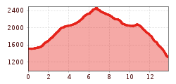
  • Elevation uphill:1,008 hm
  • Elevation downhill:1,197 hm
Highest point2,471 m

Starting point

Matreier Tauernhaus 1.512m

Finishing point

Hintersee 1.313m
  • Fitness level 4 / 6
  • Technique 4 / 6

Best time of year

  • January
  • February
  • March
  • April
  • May
  • June
  • July
  • August
  • September
  • October
  • November
  • December

Equipment

Basic equipmentformountainhikingincludessturdy hiking bootswith a goodtread, a 30-35 literbackpack, and functionalclothingbased on thelayeringprinciple, includingsufficient spare clothes. Essential itemsare rain, cold, and sunprotection, adequatefluids and food, aswellas a first-aid kit and a charged mobile phone. A mapor a GPS devicesupportsorientation. 

The informationservesas a guideline and does not claimtobe exhaustive. Equipment mustalwaysbeadaptedtothe planned route, weatherconditions, season, naturalhazards, environmental influences, and personal needs. 

Source: TVB Osttirol

Description

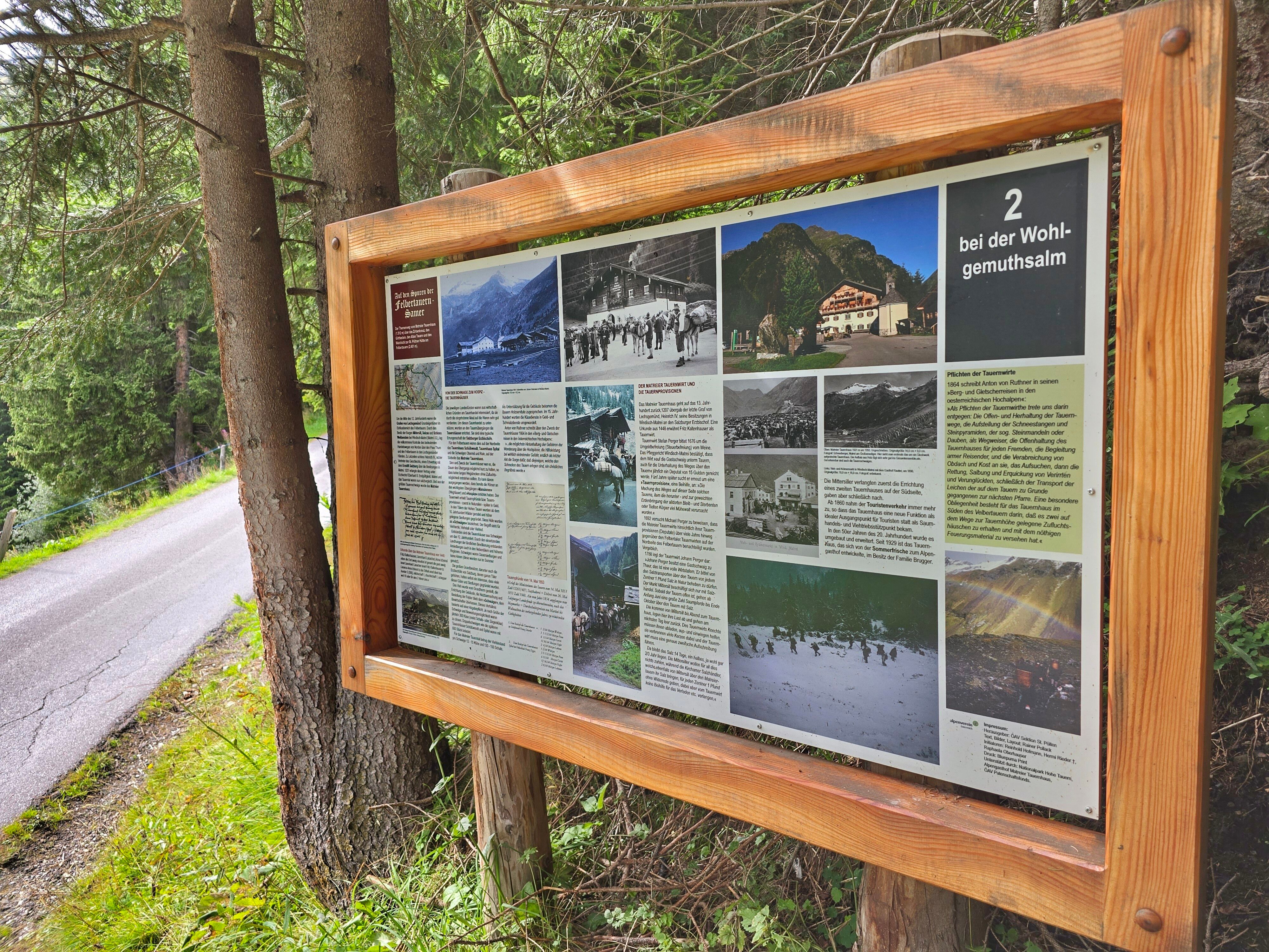
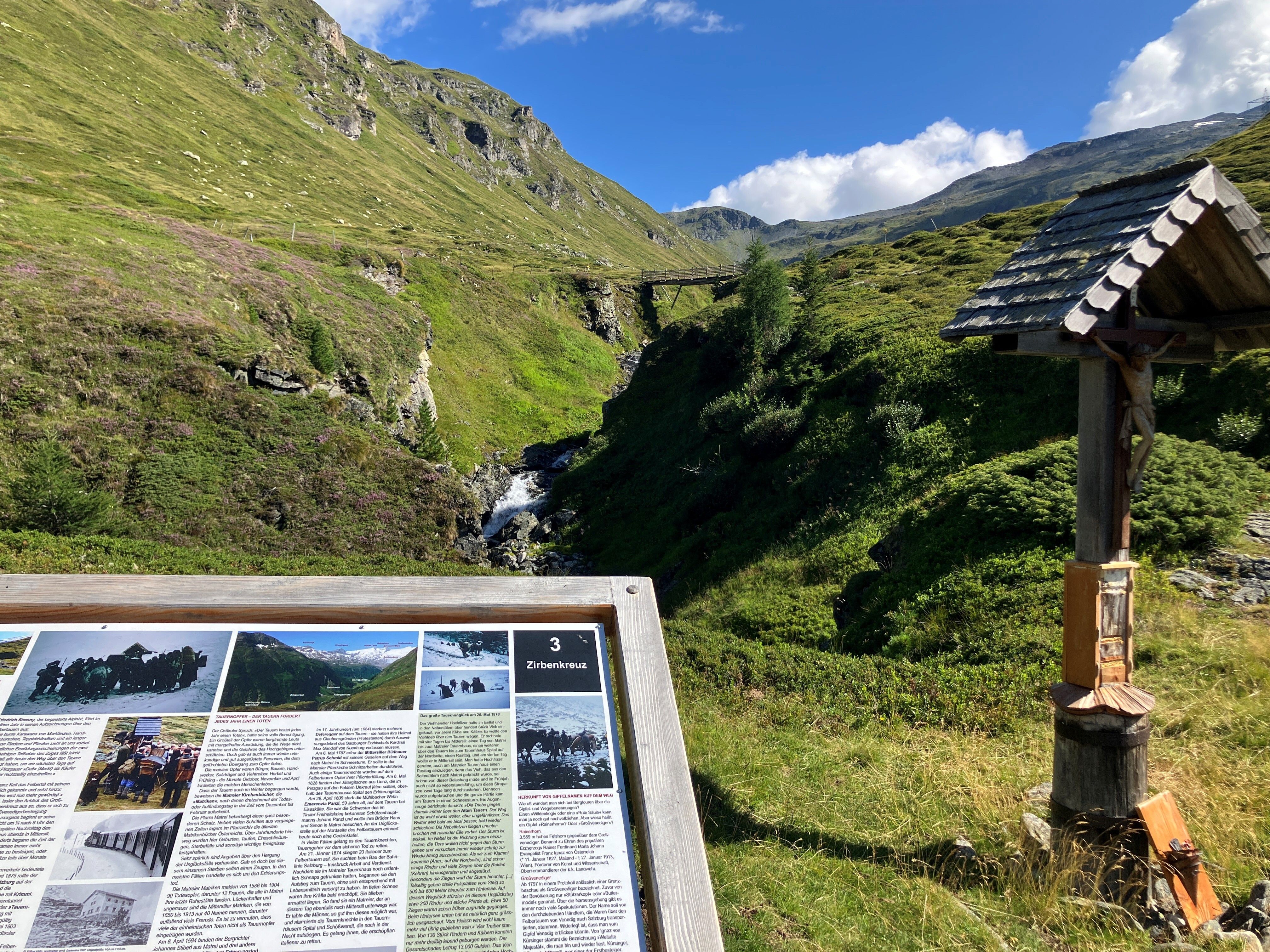
On this varied day hike along historical paths, you follow the trail from Matreier Tauernhaus towards Gschlößtal. Near the Wohlgemuthalm, you reach the start of the "Alten Tauernweges" towards St. Pöltner Hütte (trail no. 511). Along the route, information boards provide insights into the historical pack animal trail and the lives of the muleteers.

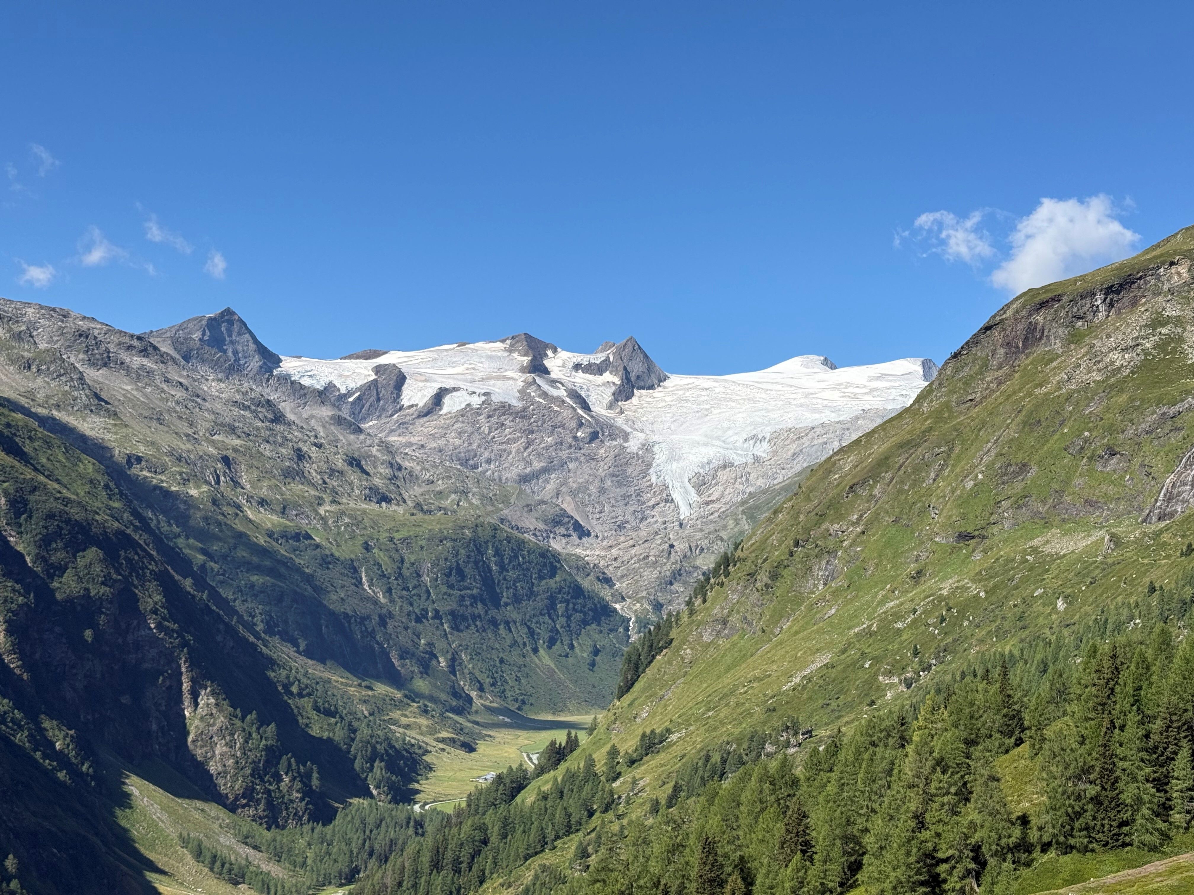
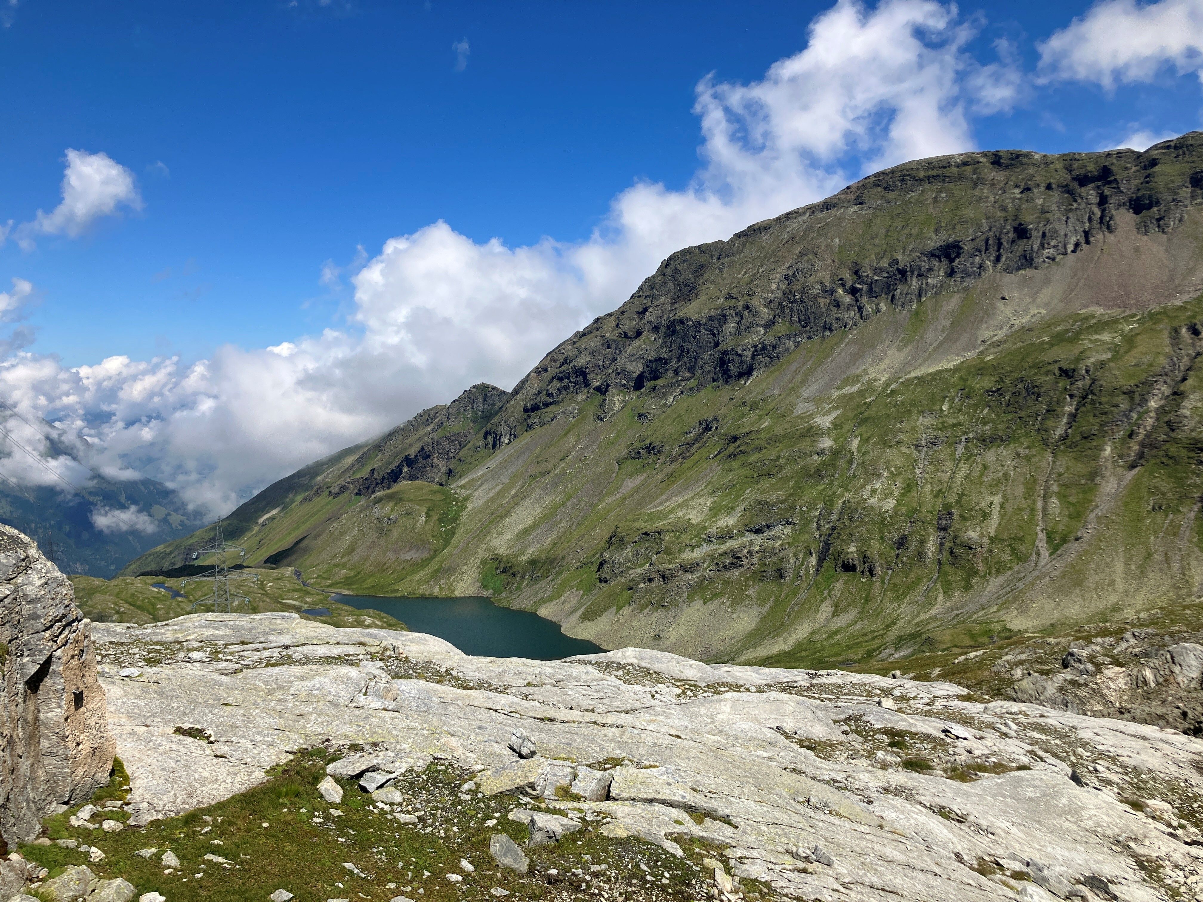
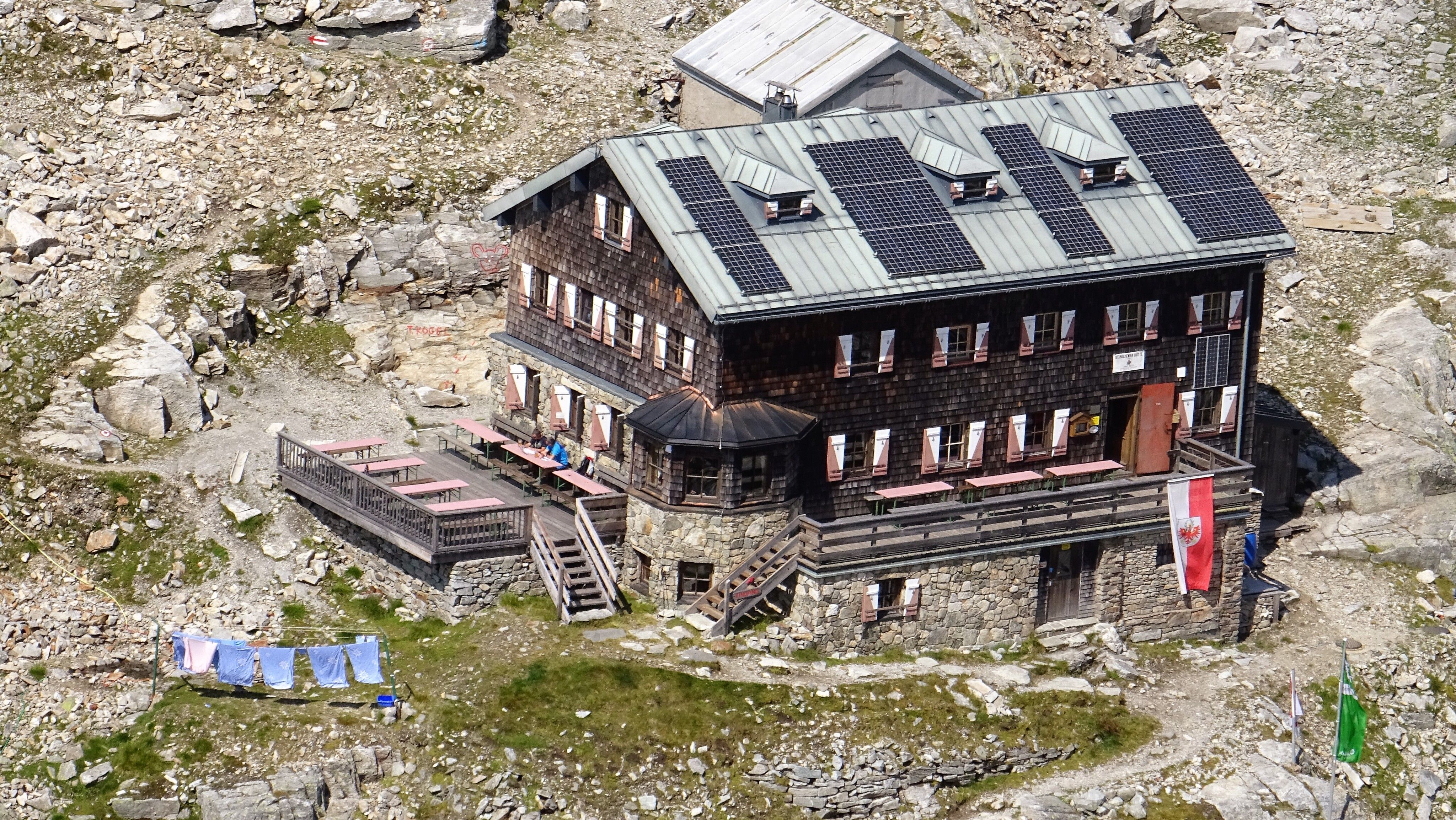
Through sparse forests, with impressive views of the Venedigermassiv and via the "Zirbenkreuz" viewpoint, you reach the St. Pöltner Hütte (2,480 m). After a cozy break, you descend via the scenic Alten Saumweg – accompanied by views of the majestic peaks of Hörndl, Hochgasser, and Tauernkogel. The path leads you across alpine meadows, past the dark green Plattachsee and other mountain lakes. At the junction, keep right and follow trail no. 917. Continuing further down the valley, you finally reach the Hintersee in the Felbertal.

Nearby huts and mountain restaurants

Getting here

  • Arrival by public transport

    Bus stop Matreier Tauernhaus

  • Parking

    By car from Matrei im O. towards Felbertauern; turn left before the south portal towards the Matreier Tauernhaus car park. By bus no. 955 to the Matreier Tauernhaus stop.


    Car park Matreier Tauernhaus

Weather

Today

snow showers
6°C/1°C
70%1.1l5 km/h

Mon

mainly clear
7°C/0°C
10%0.2l0 km/h

Tue

partly Cloudy
6°C/1°C
15%0l0 km/h
Go to weather forecast

More tours in the surrounding area

  • Figerhorn

    Difficulty:difficult
    Length:6.6 kmDuration:6:00 hElevation uphill:811 m
  • Theme path "Virgen crossroads"

    Difficulty:easy
    Length:3.2 kmDuration:1:00 hElevation uphill:104 m
  • Lasörling altitude trail

    Difficulty:medium
    Length:55.4 kmDuration:25:00 hElevation uphill:3,718 m
  • Venediger altitude trail

    Difficulty:difficult
    Length:55.5 kmDuration:27:00 hElevation uphill:3,975 m
  • Badener Hütte

    Difficulty:difficult
    Length:23.2 kmDuration:12:00 hElevation uphill:1,754 m
  • Hiking tour to St. Pöltner Hütte and 3 lakes

    Difficulty:difficult
    Length:14.8 kmDuration:7:40 hElevation uphill:1,119 m
  • Lucknerhaus - Stüdlhütte

    Difficulty:medium
    Length:9.3 kmDuration:4:30 hElevation uphill:862 m
  • Trail Virgentaler Sonnseitenweg

    Difficulty:medium
    Length:41.9 kmDuration:1 dayElevation uphill:2,641 m
  • Iseltrail

    Difficulty:medium
    Length:75.3 kmDuration:24:30 hElevation uphill:2,347 m
  • Hike to Neuen Reichenberger Hütte

    Difficulty:medium
    Length:18.2 kmDuration:9:00 hElevation uphill:1,252 m
  • Hike to Kalser Tauernhaus

    Difficulty:medium
    Length:12.2 kmDuration:4:00 hElevation uphill:244 m
  • Hiking tour to Lasörlinghütte 2.350m

    Difficulty:medium
    Length:14.6 kmDuration:7:50 hElevation uphill:1,135 m
  • Hiking tour to Zupalsee Hütte 2.350m

    Difficulty:medium
    Length:14.9 kmDuration:8:30 hElevation uphill:1,261 m
  • The Höfe Trail

    Difficulty:easy
    Length:51.2 kmDuration:10:15 hElevation uphill:1,988 m
  • Hiking tour to Neue Sajathütte 2.600m

    Difficulty:medium
    Length:10.3 kmDuration:6:50 hElevation uphill:1,086 m
  • Hike to the Venedigerhaus Innergschlöß

    Difficulty:easy
    Length:8.6 kmDuration:2:30 hElevation uphill:184 m
  • Böses Weibele

    Difficulty:medium
    Length:13.6 kmDuration:6:30 hElevation uphill:965 m
Newsletter

The mountain is calling? So does our newsletter!

In our monthly newsletter we reveal the best holiday tips for Tyrol.