Mountain hikes Hike Weiße Spitze 2.962m

Innervillgraten / Villgraten Mountains
Difficulty ratings: difficult
Route length: 9.3 km
Duration: 7:00 h

Tour information

  • Requirement: difficult
  • Length: 9.3 km
  • Duration: 7:00 h
  • Elevation uphill:1,260 hm
  • Elevation downhill:1,240 hm
Highest point2,935 m

Starting point

Parkplatz Jausenstation Unterstalleralm

Finishing point

Weiße Spitze
  • Fitness level 5 / 6
  • Technique 5 / 6

Best time of year

  • January
  • February
  • March
  • April
  • May
  • June
  • July
  • August
  • September
  • October
  • November
  • December

Equipment

Basic equipmentformountainhikingincludessturdy hiking bootswith a goodtread, a 30-35 literbackpack, and functionalclothingbased on thelayeringprinciple, includingsufficient spare clothes. Essential itemsare rain, cold, and sunprotection, adequatefluids and food, aswellas a first-aid kit and a charged mobile phone. A mapor a GPS devicesupportsorientation. 

The informationservesas a guideline and does not claimtobe exhaustive. Equipment mustalwaysbeadaptedtothe planned route, weatherconditions, season, naturalhazards, environmental influences, and personal needs. 

Source: TVB Osttirol

Description

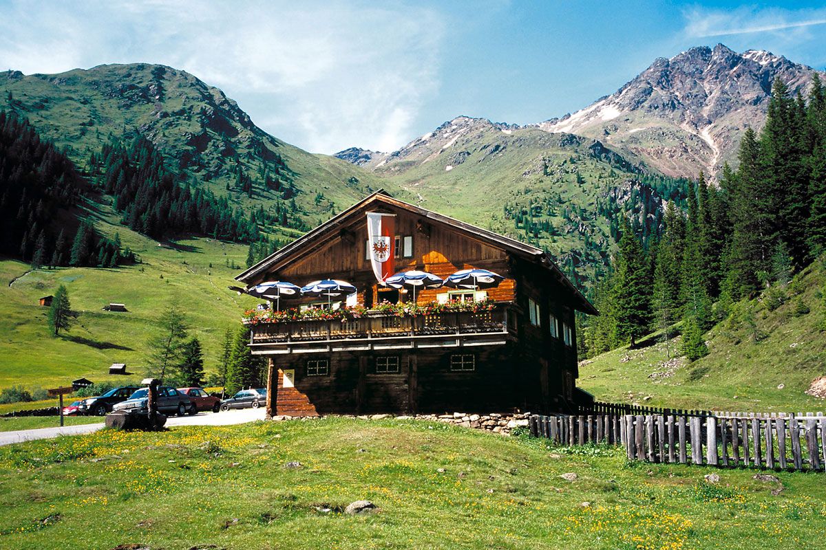
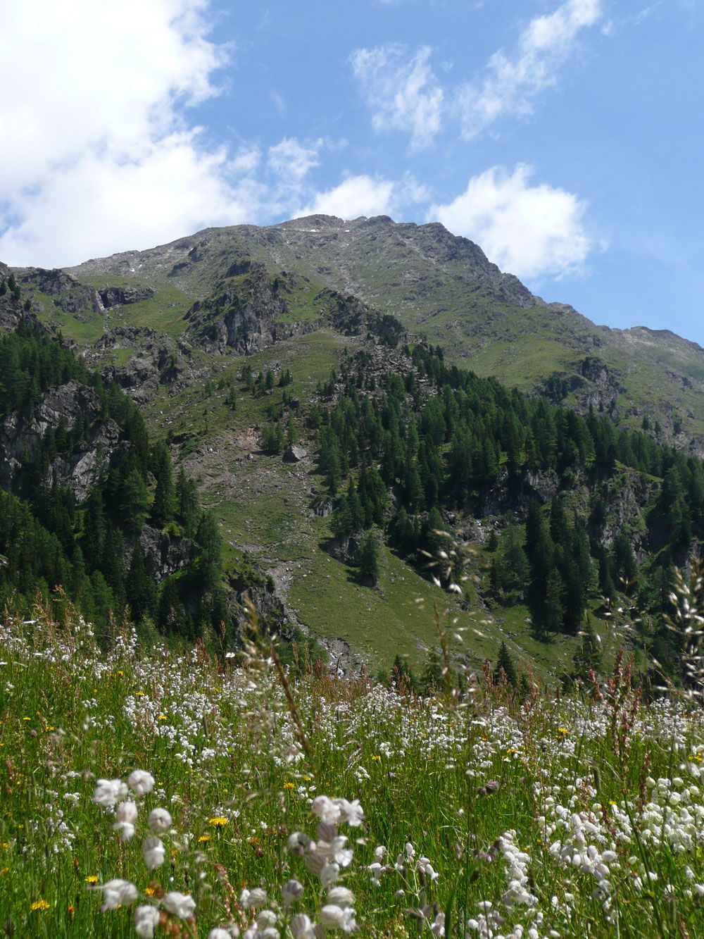
The mountain tour begins at the car park (fee of 4€/day) just before the Oberstalleralm. From Oberstalleralm you now follow a gravel trail into the valley until after around 350 metres you get to a clear signpost, following the "Weisse Spitze" route. Trail no. 17 now begins and is very steep, proceeding to the east of the Schlötterbach through light woods and Alpine pastures way up to the Schlötterlenke (2700m). Here you often get a lovely view back to the Oberstalleralm and the trail also proceeds past a small meditation area dedicated to Maria. The southern ridge now begins from the Schlötterlenke which is initially very wide. However there is soon a cumbersome slab of rock, which is best tackled on its edge. Afterwards the route proceeds on a wide ridge via an area of boulders to just below the southern pre-summit area. On the ridge which now narrows, always on the edge, tackling section I, proceed in a little wind gap and proceed to the Weiße Spitze summit (2962m).

Nearby huts and mountain restaurants

Getting here

  • Arrival by public transport

    Mit dem Wandertaxi bis zur Unterstaller Alm

  • Parking

    Mit dem Auto bis zum Parkplatz Oberstaller Alm
    Parkplatz Oberstaller Alm - kostenpflichtig

More tours in the surrounding area

  • Herz-Ass Villgratental

    Difficulty:medium
    Length:75.6 kmDuration:34:00 hElevation uphill:5,703 m
  • Muhs panorama trail

    Difficulty:medium
    Length:15.2 kmDuration:6:00 hElevation uphill:1,090 m
  • Figerhorn

    Difficulty:difficult
    Length:6.6 kmDuration:6:00 hElevation uphill:811 m
  • Theme path "Virgen crossroads"

    Difficulty:easy
    Length:3.2 kmDuration:1:00 hElevation uphill:104 m
  • Böses Weibele

    Difficulty:medium
    Length:13.6 kmDuration:6:30 hElevation uphill:965 m
  • Glödis via ferrata route

    Opening hours:closed
    Difficulty:BExposition:SE
    Duration:1:00 hDuration:4:00 hElevation difference:230 m
  • Circular walk church St. Nikolaus

    Difficulty:easy
    Length:5.4 kmDuration:1:39 hElevation uphill:150 m
  • Lasörling 3.098m

    Difficulty:difficult
    Length:22.0 kmDuration:12:00 hElevation uphill:1,940 m
  • Hike to Neuen Reichenberger Hütte

    Difficulty:medium
    Length:18.2 kmDuration:9:00 hElevation uphill:1,252 m
  • Hike to Kalser Tauernhaus

    Difficulty:medium
    Length:12.2 kmDuration:4:00 hElevation uphill:244 m
  • Hiking tour to Lasörlinghütte 2.350m

    Difficulty:medium
    Length:14.6 kmDuration:7:50 hElevation uphill:1,135 m
  • Hiking tour to Zupalsee Hütte 2.350m

    Difficulty:medium
    Length:14.9 kmDuration:8:30 hElevation uphill:1,261 m
  • Hiking tour to Neue Sajathütte 2.600m

    Difficulty:medium
    Length:10.3 kmDuration:6:50 hElevation uphill:1,086 m
  • Hike to the Venedigerhaus Innergschlöß

    Difficulty:easy
    Length:8.6 kmDuration:2:30 hElevation uphill:184 m
  • Böses Weibl

    Difficulty:difficult
    Length:14.1 kmDuration:8:00 hElevation uphill:1,193 m
  • Children's mile Golzentipp

    Difficulty:easy
    Length:3.7 kmDuration:2:00 hElevation uphill:140 m
  • Badener Hütte

    Difficulty:difficult
    Length:23.2 kmDuration:12:00 hElevation uphill:1,754 m
Newsletter

The mountain is calling? So does our newsletter!

In our monthly newsletter we reveal the best holiday tips for Tyrol.