
Opening hours:Open today
Place:Matrei in Osttirol
:Alpine pasture / hut / mountain restaurant
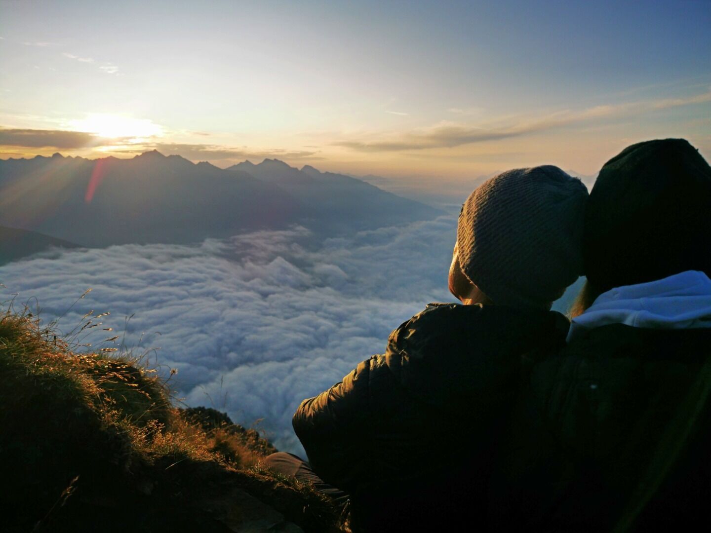
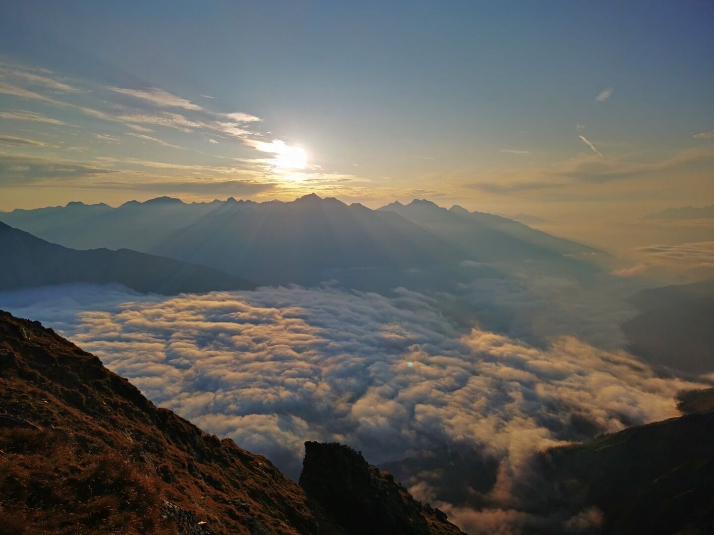
Kleiner Zunig 2.442m

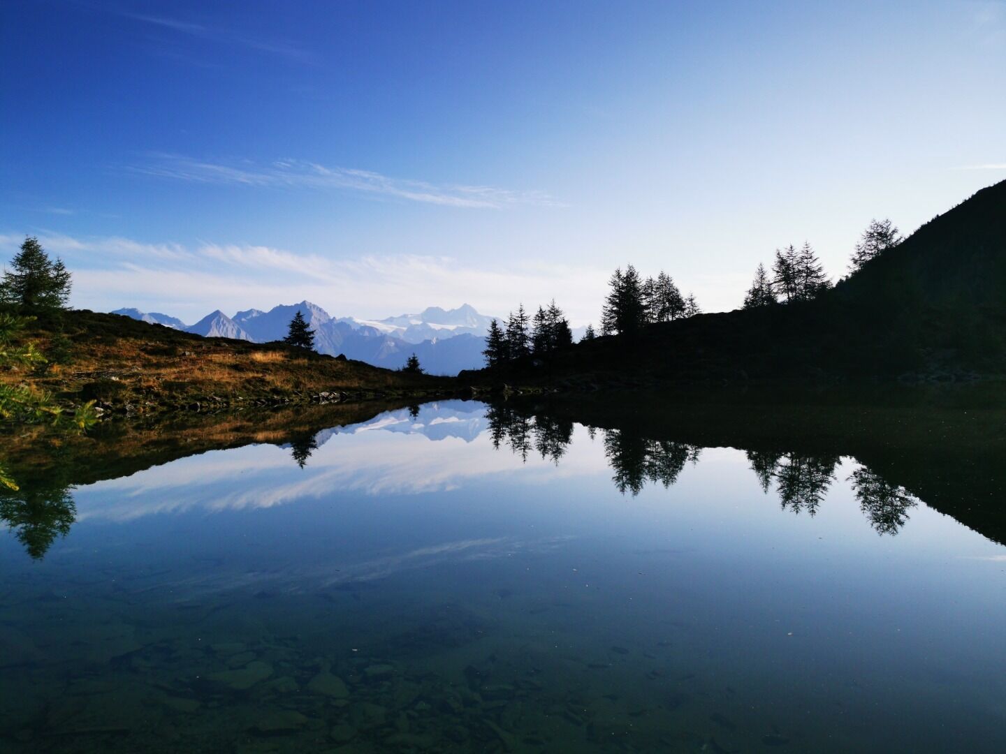
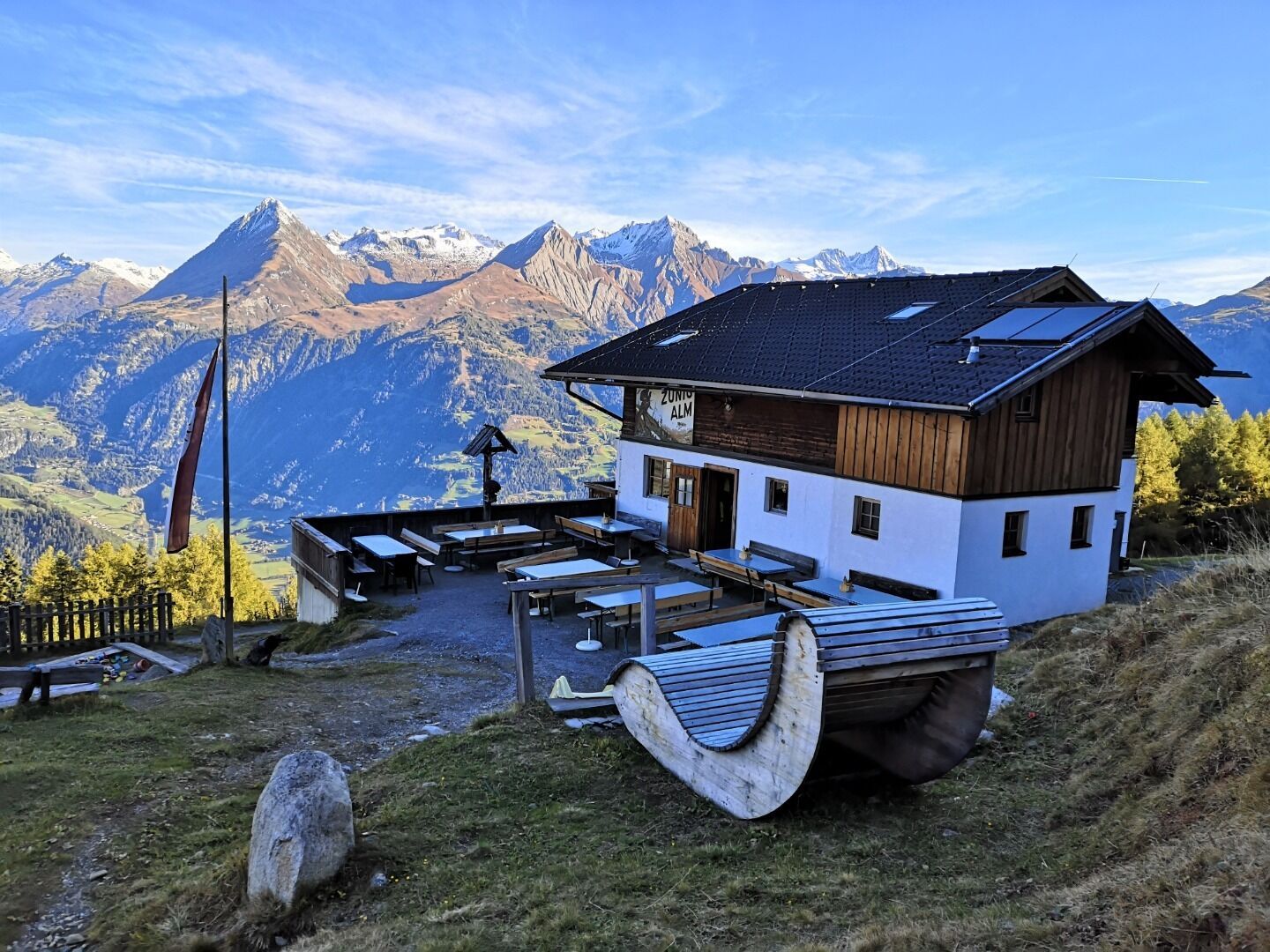
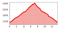
The hike starts at the Guggenberg car park in Matrei in Osttirol. From there you can either take the path or the wide forest trail and after about 1.5 hours you reach the Zunigalm. From there, follow the signs in the direction of the Zunigsee and on to the Zunigtörl. From there you reach the summit after a few hundred metres, from where you have an excellent view of the Virgen, Tauern and Iseltal valleys. The way back can be done via the same path or via the north side (Maleregg).
TIP: The summit is particularly suitable for a sunrise tour!


www.bergpixel.de")


