Mountain hikes Ochsenwaldweg

Matrei in Osttirol / Venedigergruppe
Difficulty ratings: easy
Route length: 6.2 km
Duration: 3:00 h

Ochsenwaldweg

Tour information

  • Requirement: easy
  • Length: 6.2 km
  • Duration: 3:00 h
  • Elevation uphill:340 hm
  • Elevation downhill:340 hm
Highest point2,030 m

Starting point

Parking place Matreier Tauernhaus

Finishing point

Parking place Matreier Tauernhaus
  • Fitness level 2 / 6
  • Technique 2 / 6

Features

  • Circular route

Best time of year

  • January
  • February
  • March
  • April
  • May
  • June
  • July
  • August
  • September
  • October
  • November
  • December

Trail condition

Gravel path, steep track
Source: TVB Osttirol

Description

The car park and bus stop at the Matreier Tauernhaus is around an hour away from the start and finish of the tour. This route can be covered either on foot, with the Gschlösser panorama train or a taxi shuttle.
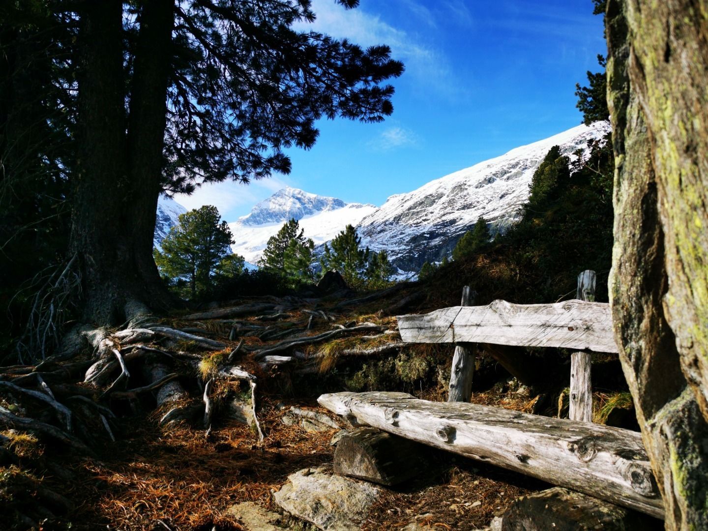
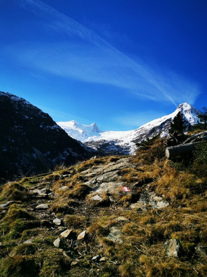
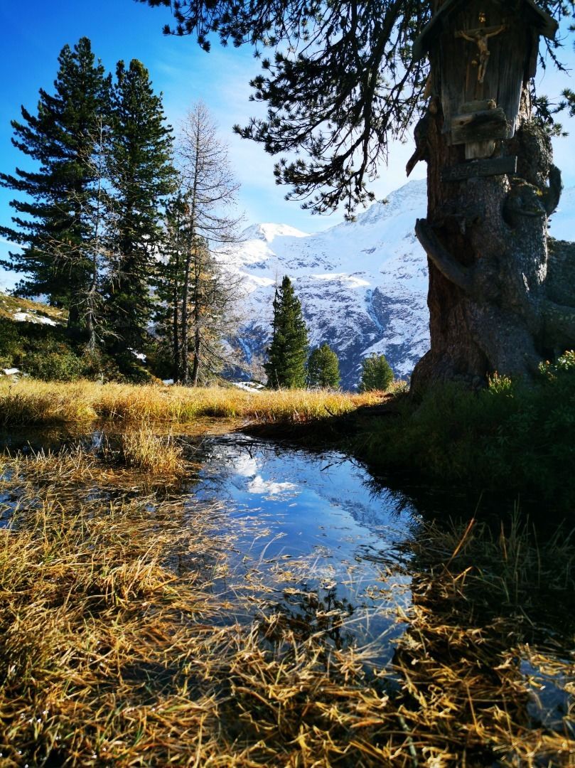
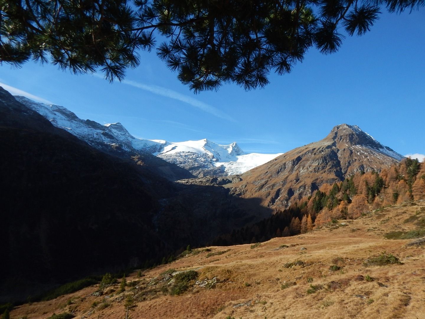
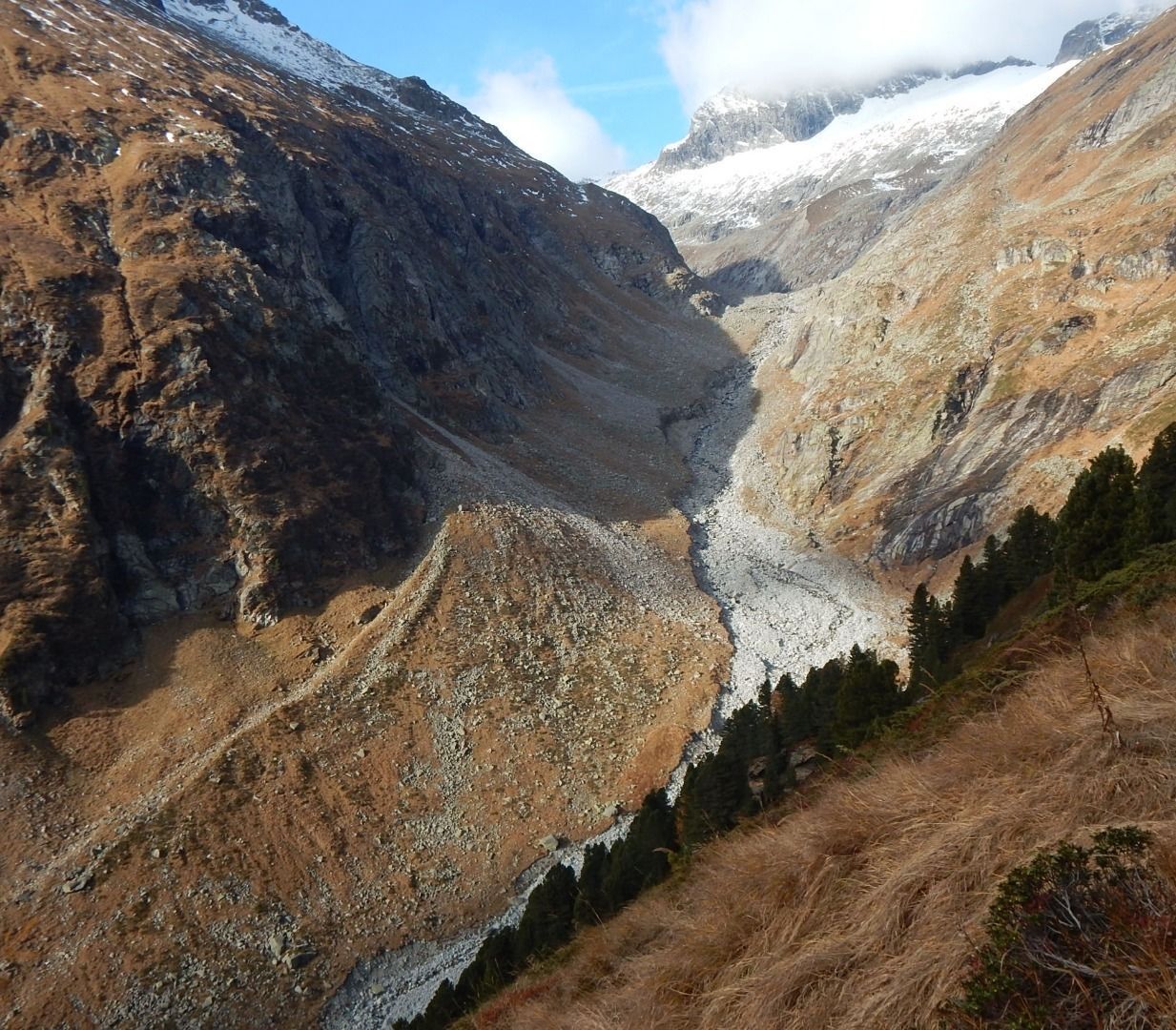
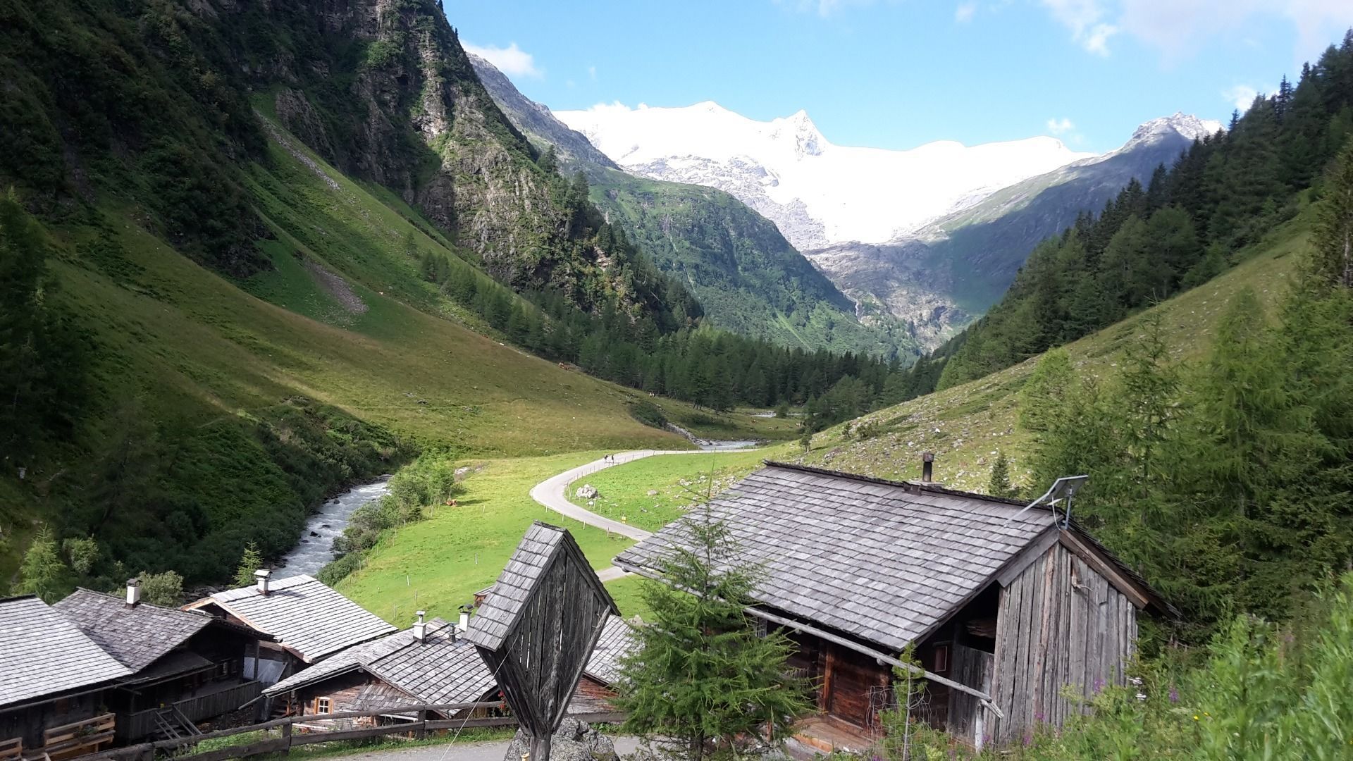
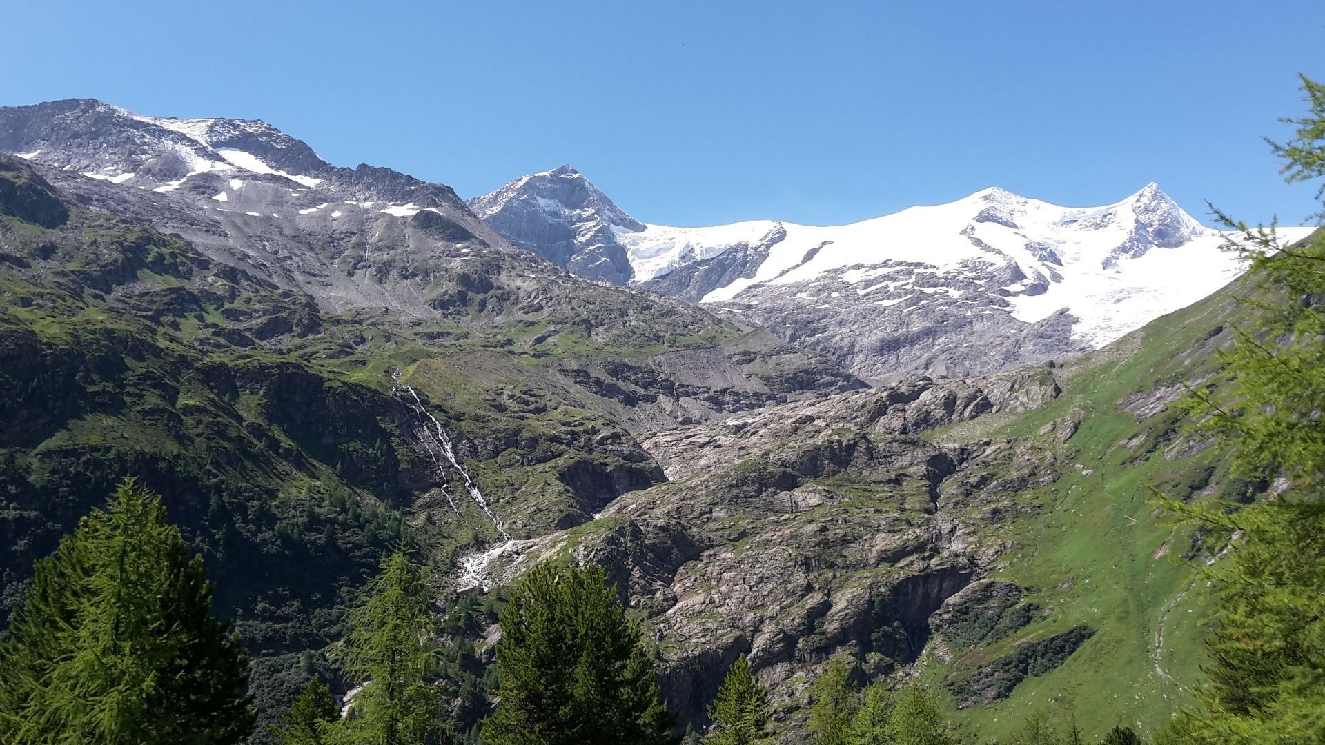
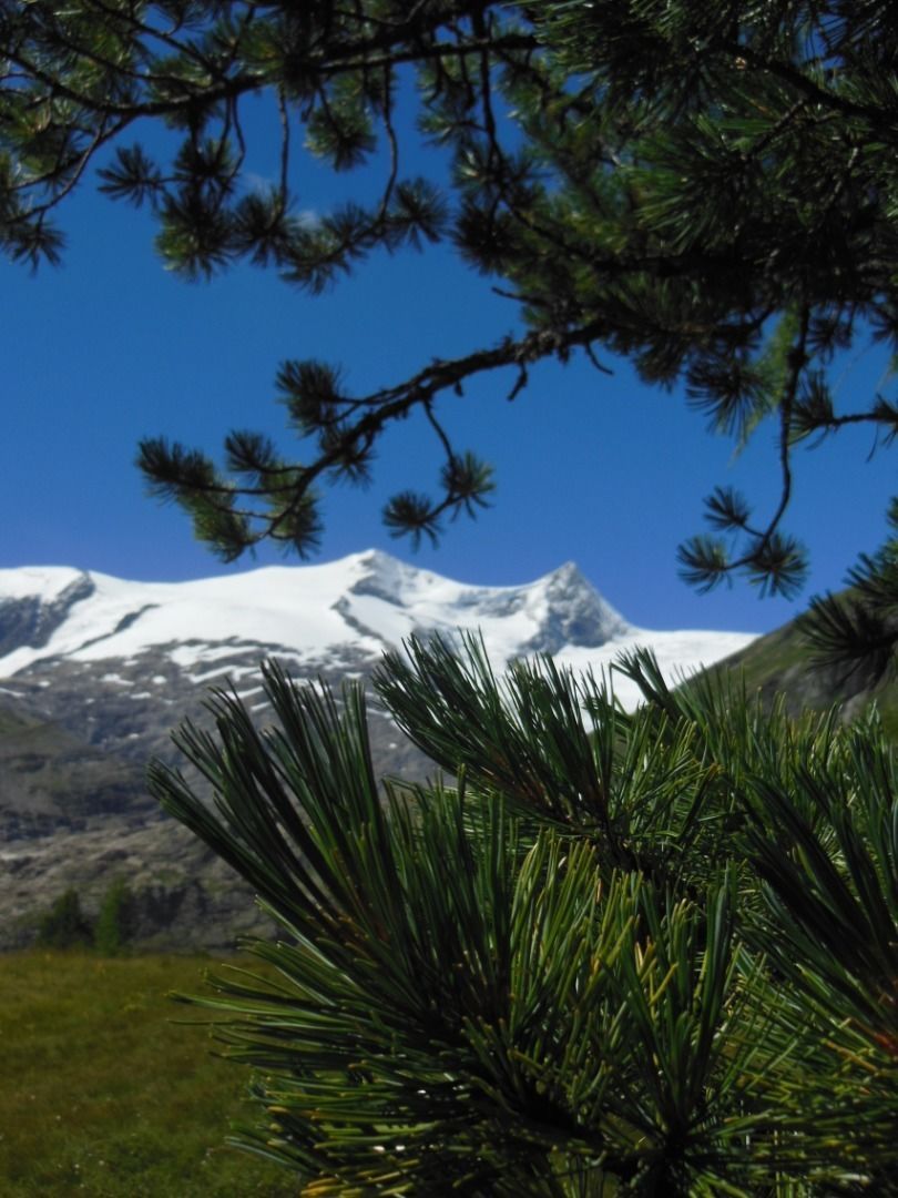
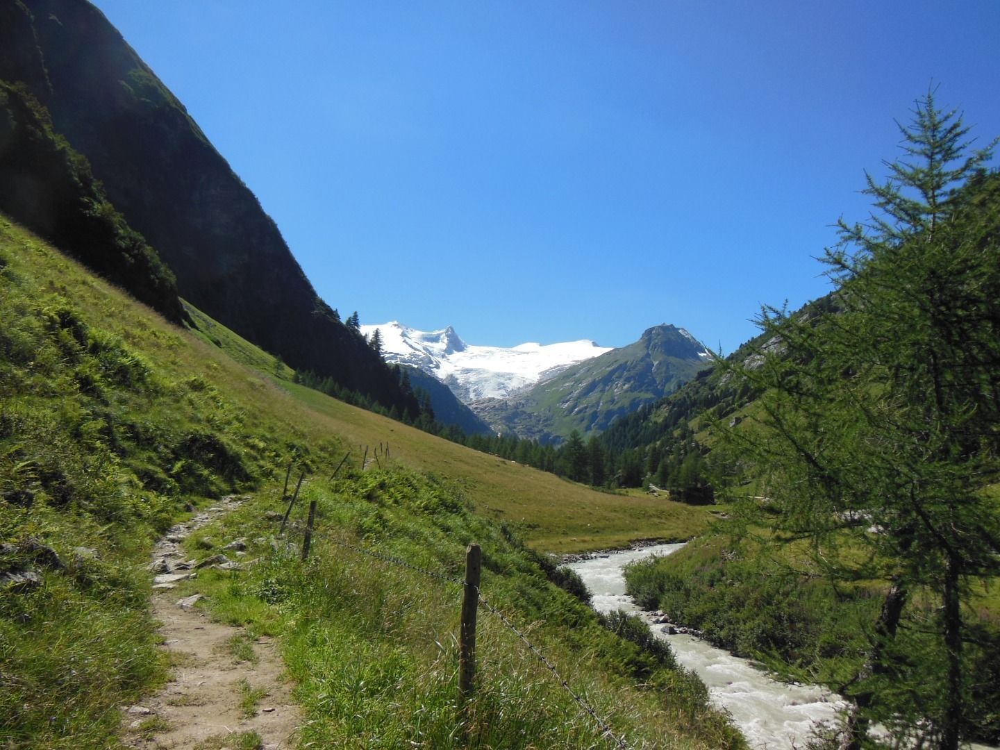
The high-altitude circular trail is relatively easy and offers, in addition to many natural beauties, an incomparable view of the Schlatenkees and the main area of the Venedigergr. The hike is an unforgettable holiday experience. Good weather and dry path conditions are a prerequisite. At Hinteren Gschlößboden, approx. 500m after the Innergschlöß alpine pasture settlement, the Ochsenwaldweg branches off to the right of the road, leads up into the sparse forest (beautiful Swiss stone pine trees) and continues in serpentines to the lower limit of the Ochsenalm. From there, above the forest line, you walk constantly in a northerly direction to the highest point (about 2,000 m) of the wide ridge. The path now leads downhill, into the Viltragen valley and down to the Viltragenbach stream, and out of the valley reaches the road to Innergschlöß.

Nearby huts and mountain restaurants

Getting here

  • Arrival by public transport

    Matreier Tauernhaus

  • Parking

    Parking Place (chargeable!) Matreier Tauernhaus

More tours in the surrounding area

  • Venediger altitude trail

    Difficulty: difficult
    Length: 55.5 km Duration: 27:00 h Elevation uphill: 3,915 m
  • Figerhorn

    Difficulty: difficult
    Length: 6.5 km Duration: 6:00 h Elevation uphill: 807 m
  • Lasörling 3.098m

    Difficulty: difficult
    Length: 21.9 km Duration: 12:00 h Elevation uphill: 1,940 m
  • Hike to the Venedigerhaus Innergschlöß

    Difficulty: easy
    Length: 8.5 km Duration: 2:30 h Elevation uphill: 180 m
  • Hiking tour to Neue Sajathütte 2.600m

    Difficulty: medium
    Length: 10.3 km Duration: 6:50 h Elevation uphill: 1,080 m
  • Hiking tour to Lasörlinghütte 2.350m

    Difficulty: medium
    Length: 14.6 km Duration: 7:10 h Elevation uphill: 1,080 m
  • Badener Hütte

    Difficulty: difficult
    Length: 23.2 km Duration: 11:30 h Elevation uphill: 1,750 m
  • Hike to Neuen Reichenberger Hütte

    Difficulty: medium
    Length: 9.1 km Duration: 9:00 h Elevation uphill: 1,210 m
  • Hike to Kalser Tauernhaus

    Difficulty: medium
    Length: 12.2 km Duration: 4:00 h Elevation uphill: 244 m
  • Lucknerhaus - Stüdlhütte

    Difficulty: medium
    Length: 9.3 km Duration: 5:30 h Elevation uphill: 862 m
  • Böses Weibl

    Difficulty: difficult
    Length: 14.1 km Duration: 8:00 h Elevation uphill: 1,193 m
  • Umbal waterfalls nature force trail

    Difficulty: easy
    Length: 5.8 km Duration: 2:30 h Elevation uphill: 250 m
  • Muhs panorama trail

    Difficulty: medium
    Length: 15.2 km Duration: 6:00 h Elevation uphill: 1,090 m
  • Rotenkogel

    Difficulty: difficult
    Length: 3.9 km Duration: 3:00 h Elevation uphill: 383 m
  • Lasörling altitude trail

    Difficulty: medium
    Length: 57.0 km Duration: 25:00 h Elevation uphill: 3,740 m
Newsletter

The mountain is calling? So does our newsletter!

In our monthly newsletter we reveal the best holiday tips for Tyrol.