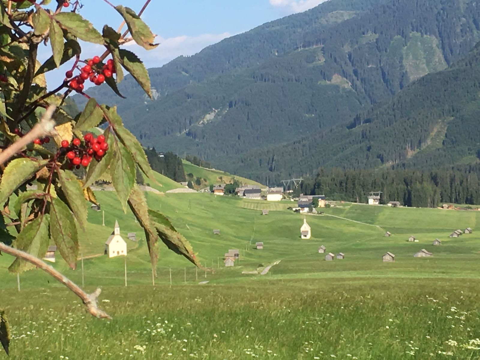
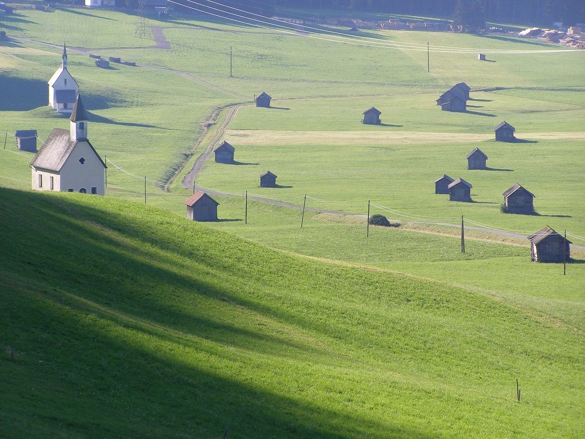
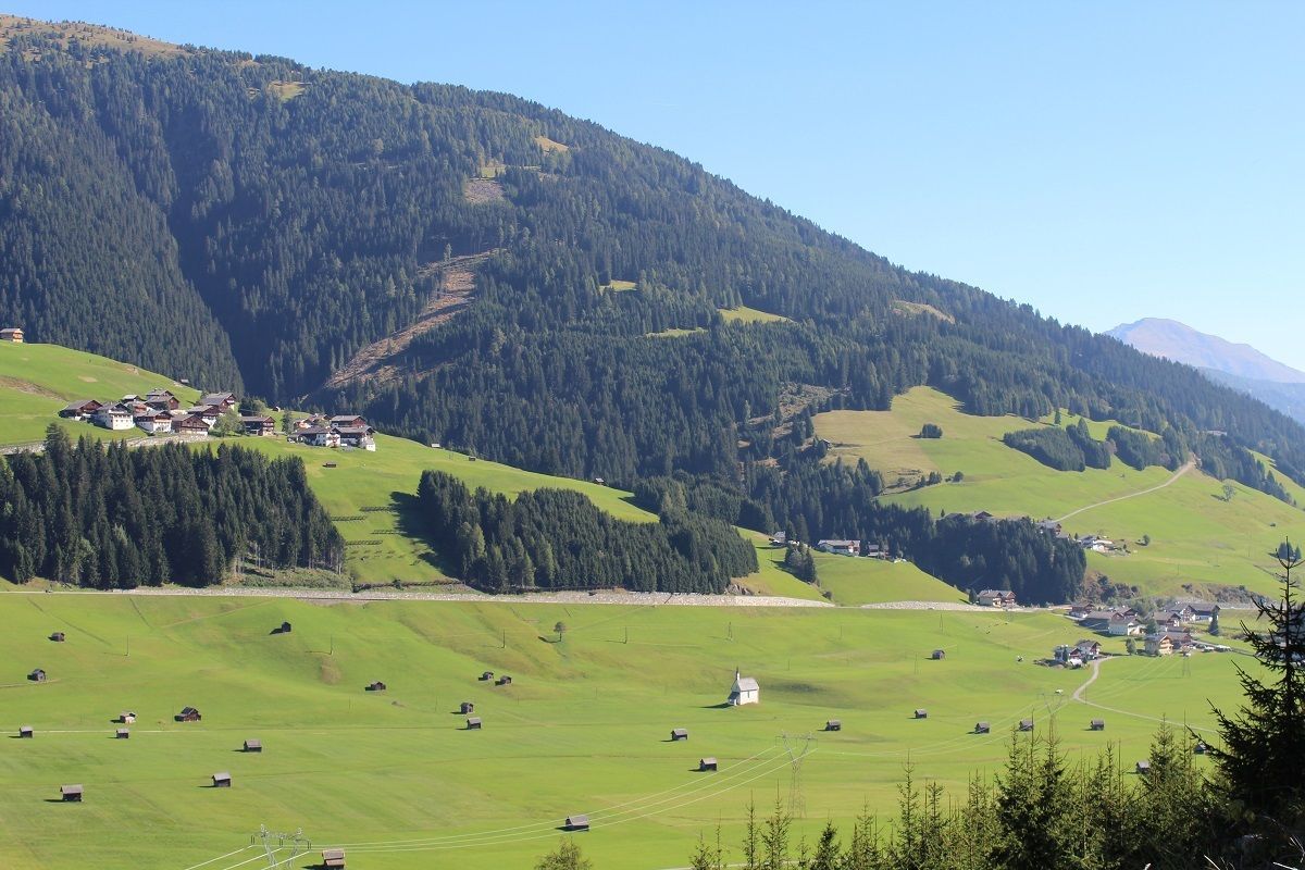
Hotel Gasthof Andreas Sommer © Hotel Andreas Hotel Gasthof AndreasOpening hours:Open todayPlace:Obertilliach:Restaurantsee restaurant detailssee restaurant details: Hotel Gasthof Andreas
Bäckerei-Café Obererlacher © Bäckerei Obererlacher Bäckerei Cafe ObererlacherOpening hours:Open todayPlace:Obertilliach:cafésee restaurant detailssee restaurant details: Bäckerei Cafe Obererlacher
Axamer Lizum to Halsl and then on to Saile/NockspitzeDifficulty:mediumLength:9.4 kmDuration:5:00 hElevation uphill:886 mSee trailSee trail: Axamer Lizum to Halsl and then on to Saile/Nockspitze
Sillianer Hütte © TVBOsttirol Carnic altitude trail. Stage 2: Sillianer Hütte- Obstansersee HütteDifficulty:mediumLength:8.7 kmElevation uphill:503 mSee trailSee trail: Carnic altitude trail. Stage 2: Sillianer Hütte- Obstansersee Hütte
Suspension bridge to Maria Locherboden pilgrimage churchDifficulty:mediumLength:8.5 kmDuration:3:00 hElevation uphill:370 mSee trailSee trail: Suspension bridge to Maria Locherboden pilgrimage church
Sonnenaufgang_Kleiner_Gilfert_©FranzKupfner.jpg © (c) Ferienregion Fügen-Kaltenbach im Zillertal, Franz Kupfner Hochfügen - Kleiner Gilfert (2388m) Walk no. 27Difficulty:mediumLength:14.4 kmDuration:6:00 hElevation uphill:925 mSee trailSee trail: Hochfügen - Kleiner Gilfert (2388m) Walk no. 27
wanderung-grosser-zunig-wokenmeer-c-bernhard-assmair.jpg © Bernhard Aßmair Lasörling altitude trailDifficulty:mediumLength:55.4 kmDuration:25:00 hElevation uphill:3,718 mSee trailSee trail: Lasörling altitude trail
loebbentoerl-schlatenkees-sommer-2024-c-bernhard-assmair.JPG © Bernhard Aßmair Venediger altitude trailDifficulty:difficultLength:55.5 kmDuration:27:00 hElevation uphill:3,975 mSee trailSee trail: Venediger altitude trail
Figerhorn - Goßglockner_TVB Osttirol_Elias Bachmann_Kals am Großglockner (1) © TVB Osttirol | Elias Bachmann FigerhornDifficulty:difficultLength:6.6 kmDuration:6:00 hElevation uphill:811 mSee trailSee trail: Figerhorn
wallfahrtskirche-maria-schnee-obermauern-nilbach-hoch-c-bernhard-assmair.jpg © Bernhard Aßmair Theme path "Virgen crossroads"Difficulty:easyLength:3.2 kmDuration:1:00 hElevation uphill:104 mSee trailSee trail: Theme path "Virgen crossroads"
Bergdoktor-Winter Hiking TrailDifficulty:easyLength:2.1 kmDuration:0:45 hElevation uphill:40 mGo to winter hikeGo to winter hike: Bergdoktor-Winter Hiking Trail
The sunny plateau circuitDifficulty:easyLength:38.0 kmDuration:8:00 hElevation uphill:740 mSee trailSee trail: The sunny plateau circuit
Württemberg House, 2,220 m © Roman Huber Zams - Württemberger HausDifficulty:mediumLength:10.1 kmDuration:11:20 hElevation uphill:1,554 mSee trailSee trail: Zams - Württemberger Haus
Along the Goetheweg trail to thePfeishütte mountain hutDifficulty:difficultLength:5.2 kmDuration:5:00 hElevation uphill:769 mSee trailSee trail: Along the Goetheweg trail to thePfeishütte mountain hut
Mountain hut tour: Birgitzköpfl - Muttereralm - Götzner Alm - Birgitzer AlmDifficulty:mediumLength:11.4 kmDuration:3:30 hElevation uphill:894 mSee trailSee trail: Mountain hut tour: Birgitzköpfl - Muttereralm - Götzner Alm - Birgitzer Alm
Europakreuz auf der Gr. Kinigat © A. Goller Carnic altitude trail. Stage 3: Obstansersee Hütte – PorzehütteDifficulty:mediumLength:11.3 kmDuration:6:00 hElevation uphill:650 mSee trailSee trail: Carnic altitude trail. Stage 3: Obstansersee Hütte – Porzehütte
Winter hiking Fieberbrunn - Zillstatt - StreubödenOpening hours:closedDifficulty:mediumLength:13.0 kmDuration:4:30 hElevation uphill:550 mGo to winter hikeGo to winter hike: Winter hiking Fieberbrunn - Zillstatt - Streuböden
Alpbachtal Hüttenjause auf der Farmkehralm © Mathäus Gartner Farmkehralm 1.521 mDifficulty:mediumLength:9.3 kmDuration:3:30 hElevation uphill:506 mSee trailSee trail: Farmkehralm 1.521 m
Zireiner See © Gabriele Grießenböck Lake Zirein via SonnwendjochberghausDifficulty:difficultLength:18.4 kmDuration:6:15 hElevation uphill:894 mSee trailSee trail: Lake Zirein via Sonnwendjochberghaus
Wasserspiele im Juppi Zauberwald © Ski Juwel Alpbachtal Wildschönau Loop tour Juppi ZauberwaldDifficulty:easyLength:2.5 kmDuration:1:00 hElevation uphill:93 mSee trailSee trail: Loop tour Juppi Zauberwald
Kundler Klamm Familie © Shootandstyle Kundler KlammDifficulty:easyLength:6.4 kmDuration:2:00 hElevation uphill:116 mSee trailSee trail: Kundler Klamm
Alpbachtal Hüttenjause auf der Farmkehralm © Mathäus Gartner 3-day Family Tour AlpbachtalDifficulty:easyLength:18.3 kmDuration:7:00 hElevation uphill:998 mSee trailSee trail: 3-day Family Tour Alpbachtal
miamariaknoll_srk2022_silberpfad-9735 © TVB Silberregion Karwendel | Mia Maria Knoll Tiroler SilberpfadDifficulty:easyLength:88.0 kmDuration:32:00 hElevation uphill:3,500 mSee trailSee trail: Tiroler Silberpfad
siegerlandhütte_img_25922026 © Katharina Schatz Siegerlandhütte - SöldenDifficulty:mediumLength:8.0 kmDuration:3:30 hElevation uphill:780 mSee trailSee trail: Siegerlandhütte - Sölden
winterwander-kappl-see-2019 (83).jpg © TVB Paznaun-Ischgl 01 "Weiße Weiten” (White Vistas) winter long-distance trailDifficulty:mediumLength:52.7 kmDuration:14:00 hElevation uphill:1,579 mGo to winter hikeGo to winter hike: 01 "Weiße Weiten” (White Vistas) winter long-distance trail
Fundusfeiler © Ötztal Fundusfeiler - UmhausenDifficulty:difficultLength:4.5 kmDuration:3:00 hElevation uphill:1,109 mSee trailSee trail: Fundusfeiler - Umhausen
Wurzbergalm © Ötztal Winter walk to the Wurzbergalm hut in UmhausenOpening hours:closedDifficulty:easyLength:2.4 kmDuration:1:00 hElevation uphill:199 mGo to winter hikeGo to winter hike: Winter walk to the Wurzbergalm hut in Umhausen
Give feedback for a chance to win a special holiday experience!Click here for the surveyClick here for the survey