Mountain hikes Berger Kogel 2.656m

Prägraten am Großvenediger / Venedigergruppe
Difficulty ratings: difficult
Route length: 13.0 km
Duration: 8:00 h

Berger Kogel 2.656m

Tour information

  • Requirement: difficult
  • Length: 13.0 km
  • Duration: 8:00 h
  • Elevation uphill:1,360 hm
  • Elevation downhill:1,400 hm
Highest point2,650 m

Starting point

Parking place Sägewerk

Finishing point

Berger Kogel
  • Fitness level 4 / 6
  • Technique 4 / 6

Best time of year

  • January
  • February
  • March
  • April
  • May
  • June
  • July
  • August
  • September
  • October
  • November
  • December
Source: TVB Osttirol

Description

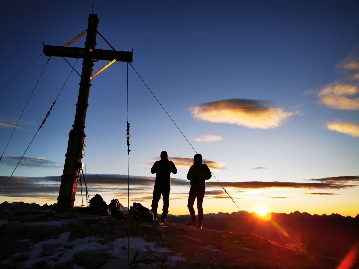
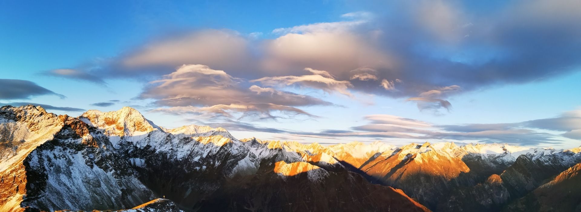
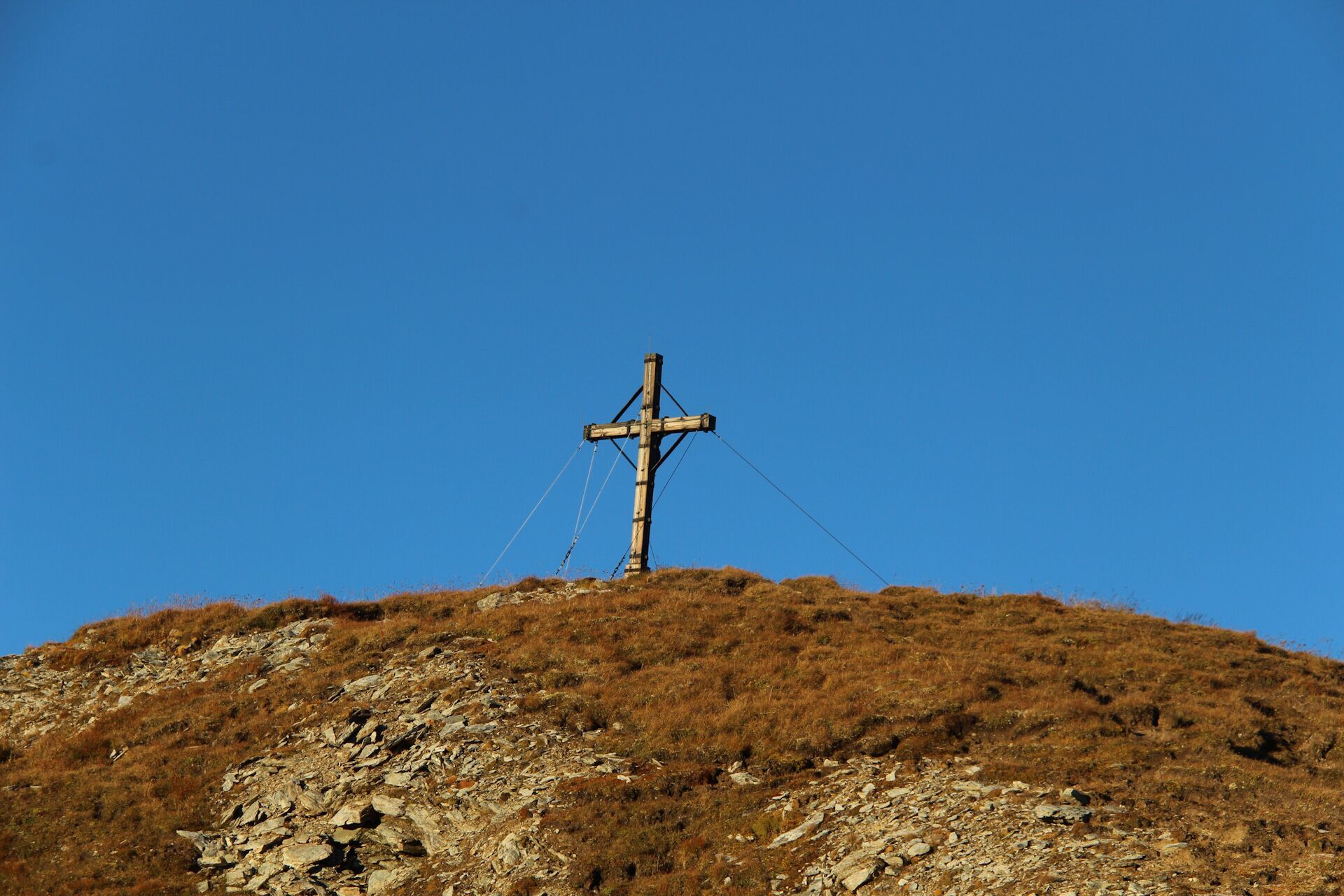
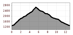
Starting from the car park at the sawmill (bridge Dorferbrücke) follow a short section on an asphalt road initially which goes across a bridge and then opens into a gravel trail, which you then leave after around 150 m (signposts) keeping to the left and following the signposts for "Berger Kogel". The hiking trail now proceeds very steeply through larch and spruce forest and then above the treeline on Alpine pastures to the "Prägratner Wetterkreuz" (junction). The final third of the summit climb to the Berger Kogel is somewhat more difficult. Just before the highest point, the ascent becomes more exposed, and there are now a few short climbing sections to concentrate on. Having reached the summit you are rewarded with a wonderful view to Virgental after a very tiring ascent.
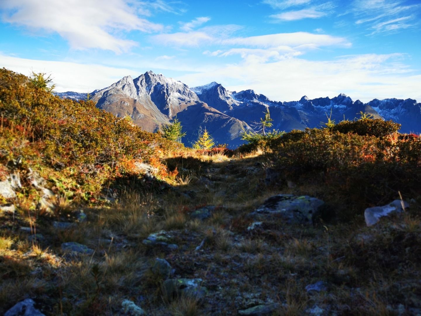
The descent proceeds then in a southerly direction down to the Bergeralmscharte (2500 m) From there follow the steep path to the west and in a good hour you will get to the Bergerseehütte. The direct descent to Prägraten winds initially down in serpentines, crossing the Zopatnitzenbach twice, and then proceeding flat on a somewhat narrow path to a small hunters’ lodge, which is located above the trail in a rock shelter to provide protection against avalanche. From here the track then proceeds steeply through the forest into the valley, until it opens up into a forest trail, which you hike for a short while in a westerly direction, then bearing right on to the hiking trail. After a short while you get to the actual trail to the Lasnitzenhütte, via which, after some 15 minutes, you get back to your starting point again – the car park at the sawmill.

Nearby huts and mountain restaurants

Getting here

  • Arrival by public transport

    Prägraten a.G. Dorf

  • Parking

    Parking place Losach

More tours in the surrounding area

  • Lasörling altitude trail

    Difficulty: medium
    Length: 57.0 km Duration: 25:00 h Elevation uphill: 3,740 m
  • Venediger altitude trail

    Difficulty: difficult
    Length: 55.5 km Duration: 27:00 h Elevation uphill: 3,915 m
  • Figerhorn

    Difficulty: difficult
    Length: 6.5 km Duration: 6:00 h Elevation uphill: 807 m
  • Hike to the Venedigerhaus Innergschlöß

    Difficulty: easy
    Length: 8.5 km Duration: 2:30 h Elevation uphill: 180 m
  • Rotenkogel

    Difficulty: difficult
    Length: 3.9 km Duration: 3:00 h Elevation uphill: 383 m
  • Lasörling 3.098m

    Difficulty: difficult
    Length: 21.9 km Duration: 12:00 h Elevation uphill: 1,940 m
  • Umbal waterfalls nature force trail

    Difficulty: easy
    Length: 5.8 km Duration: 2:30 h Elevation uphill: 250 m
  • Muhs panorama trail

    Difficulty: medium
    Length: 15.2 km Duration: 6:00 h Elevation uphill: 1,090 m
  • Hike to Neuen Reichenberger Hütte

    Difficulty: medium
    Length: 9.1 km Duration: 9:00 h Elevation uphill: 1,210 m
  • Hiking tour to Lasörlinghütte 2.350m

    Difficulty: medium
    Length: 14.6 km Duration: 7:10 h Elevation uphill: 1,080 m
  • Badener Hütte

    Difficulty: difficult
    Length: 23.2 km Duration: 11:30 h Elevation uphill: 1,750 m
  • Lucknerhaus - Stüdlhütte

    Difficulty: medium
    Length: 9.3 km Duration: 5:30 h Elevation uphill: 862 m
  • Hike to Kalser Tauernhaus

    Difficulty: medium
    Length: 12.2 km Duration: 4:00 h Elevation uphill: 244 m
  • Hiking tour to Neue Sajathütte 2.600m

    Difficulty: medium
    Length: 10.3 km Duration: 6:50 h Elevation uphill: 1,080 m
  • Böses Weibl

    Difficulty: difficult
    Length: 14.1 km Duration: 8:00 h Elevation uphill: 1,193 m
  • Eagle Walk Stage O1: Ströden - Johannis Hütte

    Difficulty: medium
    Length: 13.0 km Duration: 6:30 h Elevation uphill: 1,430 m
Newsletter

The mountain is calling? So does our newsletter!

In our monthly newsletter we reveal the best holiday tips for Tyrol.