Mountain hikes Circular hike at Zettersfeld

Nußdorf-Debant / Schober Group
Difficulty ratings: easy
Route length: 5.8 km
Duration: 2:00 h

Circular hike at Zettersfeld

Tour information

  • Requirement: easy
  • Length: 5.8 km
  • Duration: 2:00 h
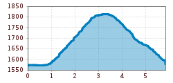
  • Elevation uphill:260 hm
  • Elevation downhill:260 hm
Highest point1,820 m

Starting point

Parkplatz Faschingalm

Finishing point

Parkplatz Faschingalm
  • Fitness level 2 / 6
  • Technique 2 / 6

Features

  • Circular route

Best time of year

  • January
  • February
  • March
  • April
  • May
  • June
  • July
  • August
  • September
  • October
  • November
  • December
Source: TVB Osttirol

Description

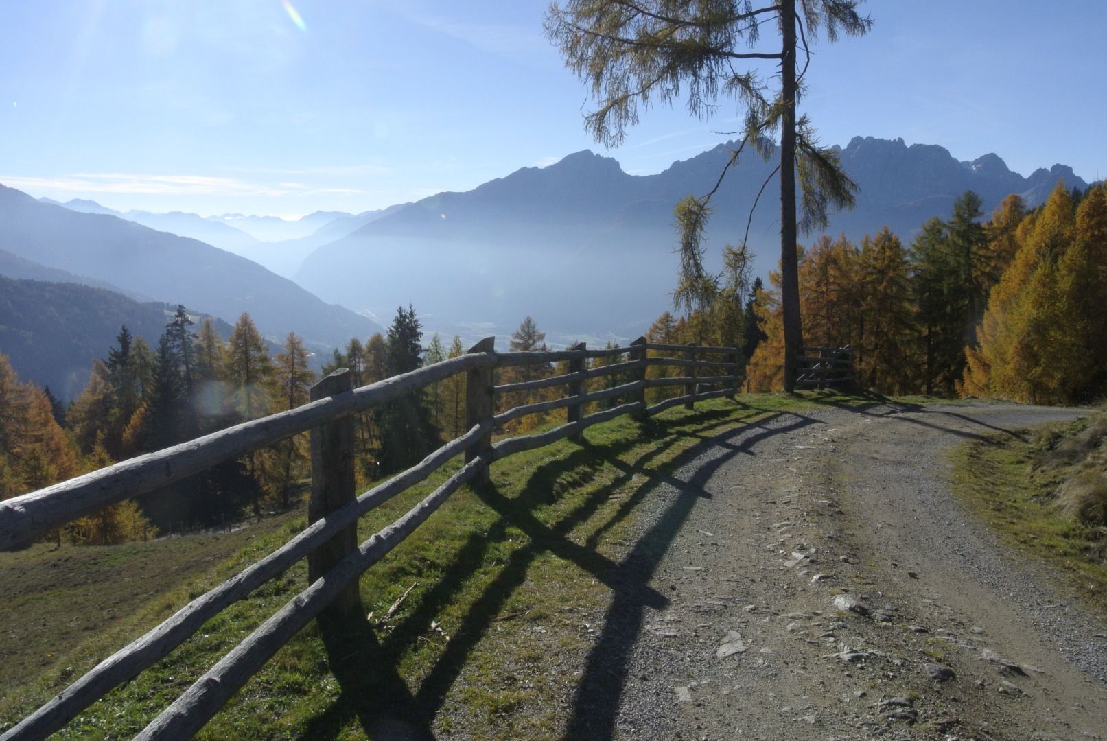
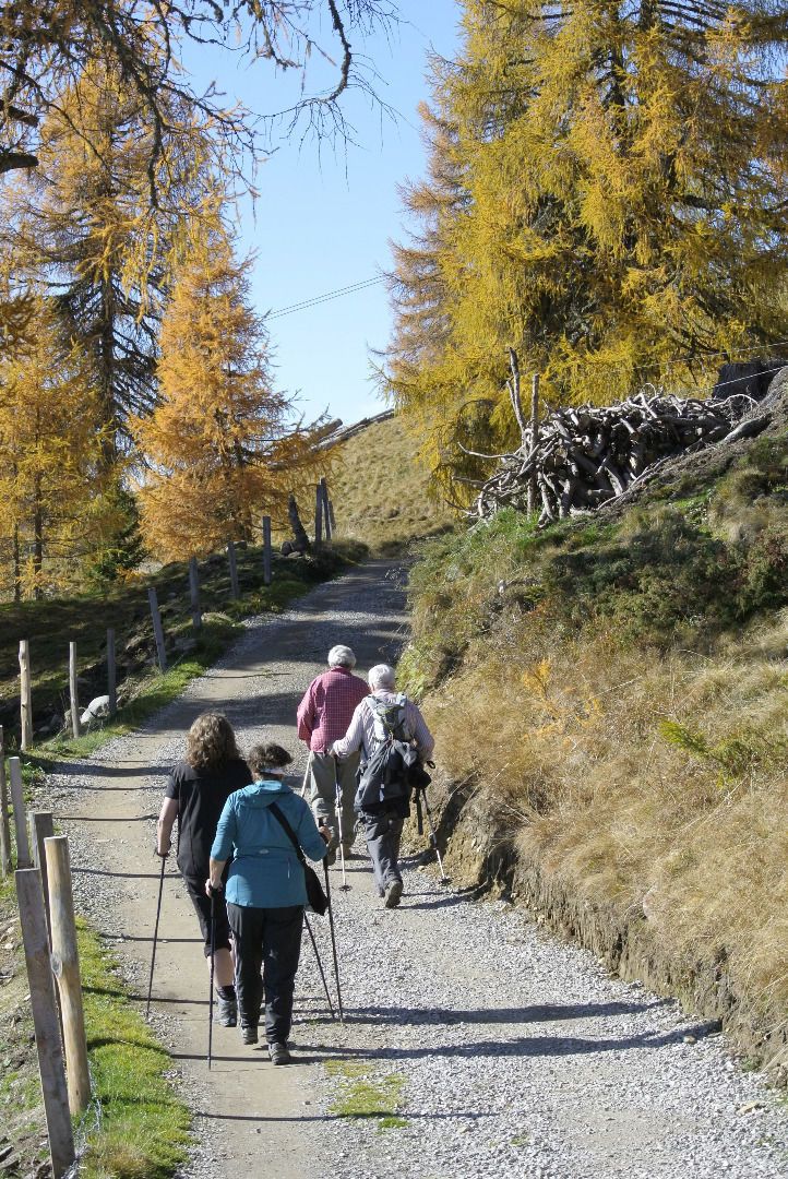
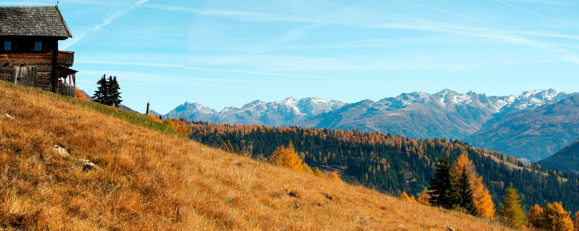
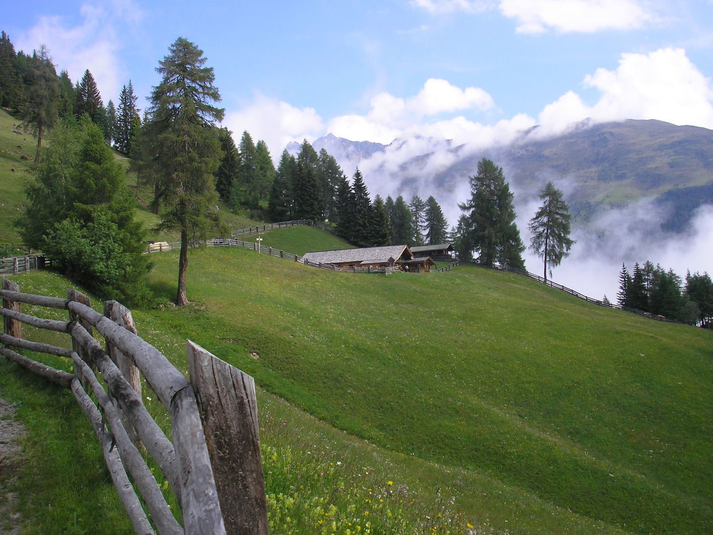
On the Faschingalm mountain road, park at the Hochstubenweg junction. The gravel path is flat initially, then the bends are somewhat steeper up to the Naturfreunde Hütte. This is the highest point of the tour. Continue west to Mecki's Panoramastuben. From there, go downhill through the forest to Faschingalm and cover the final metres by car on the tarmac road.

Getting here

  • Parking

    Parkplatz Faschingalmlift

Weather

Today

light rain showers
20°C/13°C
85%8.2l5 km/h

Fri

light rain showers
21°C/12°C
65%5.6l5 km/h

Sat

mainly clear
23°C/11°C
25%0l5 km/h
Go to weather forecast

More tours in the surrounding area

  • Figerhorn

    Difficulty:difficult
    Length:6.6 kmDuration:6:00 hElevation uphill:811 m
  • Theme path "Virgen crossroads"

    Difficulty:easy
    Length:3.2 kmDuration:1:00 hElevation uphill:104 m
  • Muhs panorama trail

    Difficulty:medium
    Length:15.2 kmDuration:6:00 hElevation uphill:1,090 m
  • Herz-Ass Villgratental

    Difficulty:medium
    Length:75.6 kmDuration:34:00 hElevation uphill:5,703 m
  • Children's mile Golzentipp

    Difficulty:easy
    Length:3.7 kmDuration:2:00 hElevation uphill:140 m
  • Badener Hütte

    Difficulty:difficult
    Length:23.2 kmDuration:12:00 hElevation uphill:1,754 m
  • Lucknerhaus - Stüdlhütte

    Difficulty:medium
    Length:9.3 kmDuration:4:30 hElevation uphill:862 m
  • Hiking tour to St. Pöltner Hütte and 3 lakes

    Difficulty:difficult
    Length:14.8 kmDuration:7:40 hElevation uphill:1,119 m
  • Hike to Kalser Tauernhaus

    Difficulty:medium
    Length:12.2 kmDuration:4:00 hElevation uphill:244 m
  • Hiking tour to Neue Sajathütte 2.600m

    Difficulty:medium
    Length:10.3 kmDuration:6:50 hElevation uphill:1,086 m
  • Hiking tour to Zupalsee Hütte 2.350m

    Difficulty:medium
    Length:14.9 kmDuration:8:30 hElevation uphill:1,261 m
  • Hike to Neuen Reichenberger Hütte

    Difficulty:medium
    Length:18.2 kmDuration:9:00 hElevation uphill:1,252 m
  • Hiking tour to Lasörlinghütte 2.350m

    Difficulty:medium
    Length:14.6 kmDuration:7:50 hElevation uphill:1,135 m
  • Oberseitsee - Seespitze 3.021 m

    Difficulty:difficult
    Length:14.4 kmDuration:8:30 hElevation uphill:1,310 m
  • Umbal waterfalls nature force trail

    Difficulty:easy
    Length:6.0 kmDuration:2:30 hElevation uphill:257 m
  • Golzentipp 2.317 m

    Difficulty:easy
    Length:5.6 kmDuration:2:00 hElevation uphill:267 m
Newsletter

The mountain is calling? So does our newsletter!

In our monthly newsletter we reveal the best holiday tips for Tyrol.