
Mountain hikes Circular hiking trail via Kirchensteig to the biathlon center and back across the meadows

Obertilliach / Gailtal Alps
Difficulty ratings: medium
Route length: 4.3 km
Duration: 1:30 h

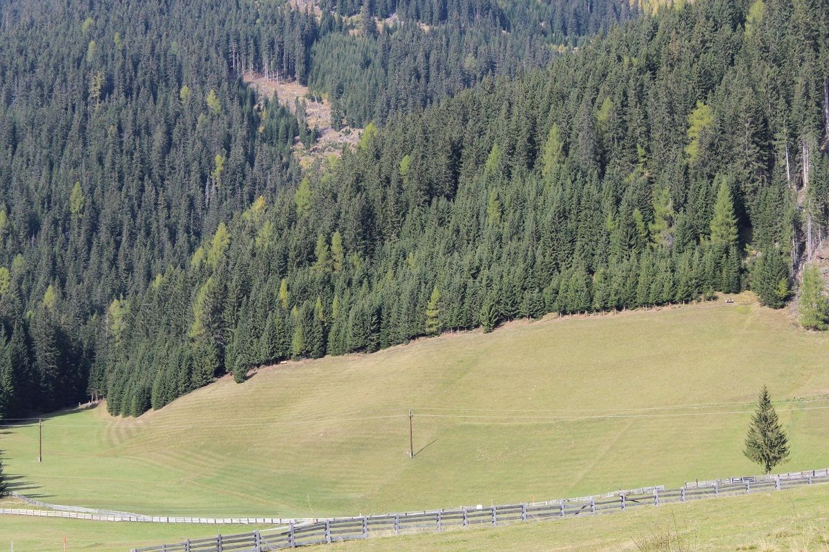
This circular hiking trail leads via the sunny, scenic Kirchensteig to the biathlon center and then across the meadows back to Obertilliach.
Tour information

  • Requirement: medium
  • Length: 4.3 km
  • Duration: 1:30 h
  • Elevation uphill:43 hm
  • Elevation downhill:120 hm
Highest point1,511 m

Starting point

Obertilliach village

Finishing point

Hotel Weiler, Obertilliach
  • Fitness level 2 / 6
  • Technique 2 / 6

Features

  • Circular route
  • Suitable for families

Best time of year

  • January
  • February
  • March
  • April
  • May
  • June
  • July
  • August
  • September
  • October
  • November
  • December

Trail condition

The Kirchensteig is a narrow path. The rest of the trail is a wide path through the fields - partly asphalted.

Equipment

Sturdy footwear
Source: TVB Osttirol

Description

At the upper edge of the village, the "Kirchensteig" begins heading east. A narrow, sunny path leads via Rodarm, above the federal highway, to the Biathlonzentrum Osttirol. After crossing the road, follow the circular hiking trail through the meadows back into the village.

Getting here

  • Arrival by public transport

    By bus to the stop "Obertilliach Hotel Weiler"

  • Parking

    Parkplatz Obertilliacher Bergbahnen

Weather

Today

light rain showers
13°C/6°C
55%1l5 km/h

Sat

clear sky
16°C/5°C
0%0l5 km/h

Sun

clear sky
18°C/6°C
15%1l5 km/h
Go to weather forecast

More tours in the surrounding area

  • Children's mile Golzentipp

    Difficulty:easy
    Length:3.7 kmDuration:2:00 hElevation uphill:140 m
  • Circular walk church St. Nikolaus

    Difficulty:easy
    Length:5.4 kmDuration:1:39 hElevation uphill:150 m
  • Lasörling 3.098m

    Difficulty:difficult
    Length:22.0 kmDuration:12:00 hElevation uphill:1,940 m
  • Hike to Kalser Tauernhaus

    Difficulty:medium
    Length:12.2 kmDuration:4:00 hElevation uphill:244 m
  • Badener Hütte

    Difficulty:difficult
    Length:23.2 kmDuration:12:00 hElevation uphill:1,754 m
  • Lucknerhaus - Stüdlhütte

    Difficulty:medium
    Length:9.3 kmDuration:4:30 hElevation uphill:862 m
  • Hike to Neuen Reichenberger Hütte

    Difficulty:medium
    Length:18.2 kmDuration:9:00 hElevation uphill:1,252 m
  • Hiking tour to St. Pöltner Hütte and 3 lakes

    Difficulty:difficult
    Length:14.8 kmDuration:7:40 hElevation uphill:1,119 m
  • Hiking tour to Neue Sajathütte 2.600m

    Difficulty:medium
    Length:10.3 kmDuration:6:50 hElevation uphill:1,086 m
  • Hiking tour to Zupalsee Hütte 2.350m

    Difficulty:medium
    Length:14.9 kmDuration:8:30 hElevation uphill:1,261 m
  • Hiking tour to Lasörlinghütte 2.350m

    Difficulty:medium
    Length:14.6 kmDuration:7:50 hElevation uphill:1,135 m
  • Hike to the Venedigerhaus Innergschlöß

    Difficulty:easy
    Length:8.6 kmDuration:2:30 hElevation uphill:184 m
  • Böses Weibl

    Difficulty:difficult
    Length:14.1 kmDuration:8:00 hElevation uphill:1,193 m
  • Oberseitsee - Seespitze 3.021 m

    Difficulty:difficult
    Length:14.4 kmDuration:8:30 hElevation uphill:1,310 m
  • Umbal waterfalls nature force trail

    Difficulty:easy
    Length:6.0 kmDuration:2:30 hElevation uphill:257 m
Newsletter

The mountain is calling? So does our newsletter!

In our monthly newsletter we reveal the best holiday tips for Tyrol.
