
Opening hours:Open today
Place:Kals am Großglockner
:Restaurant, Alpine pasture / hut / mountain restaurant
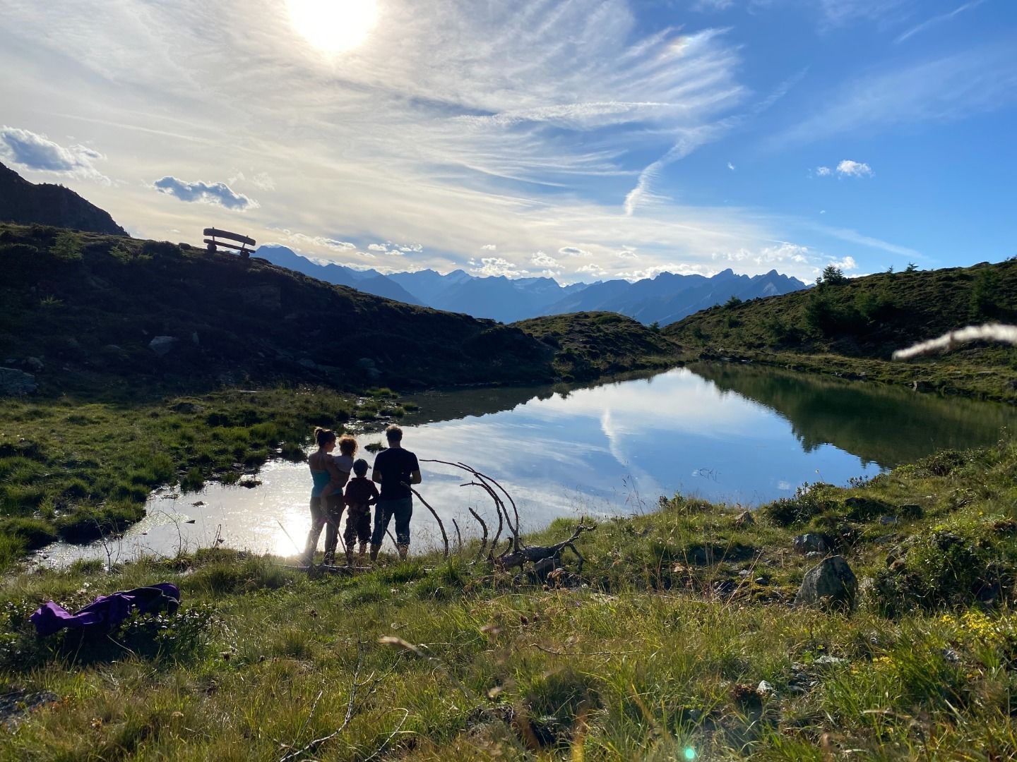
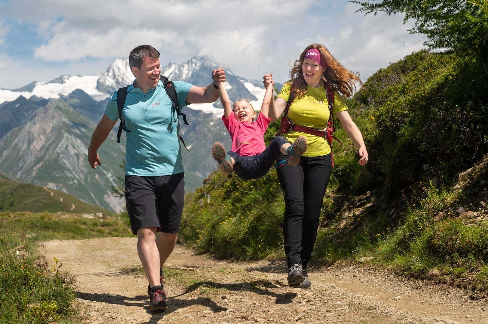
Family hike Goldriedsee
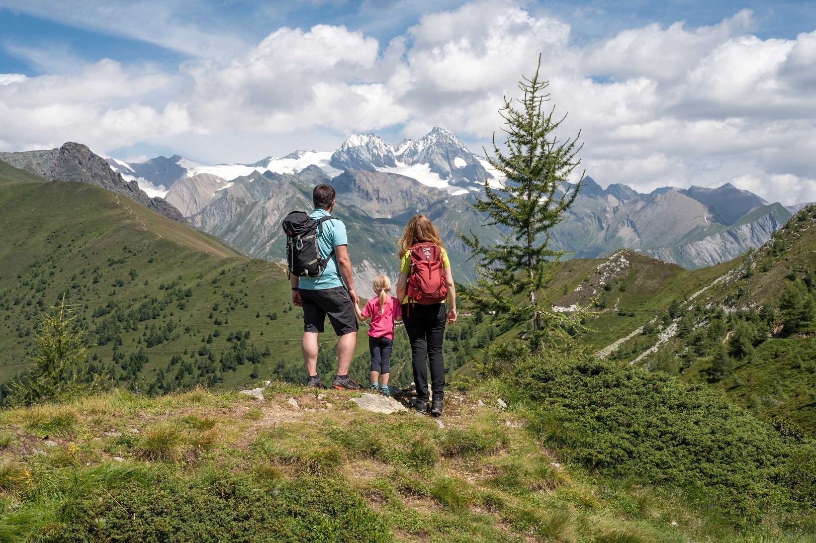
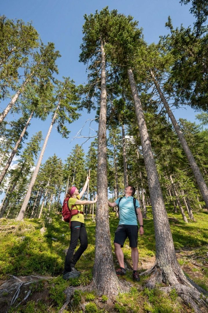
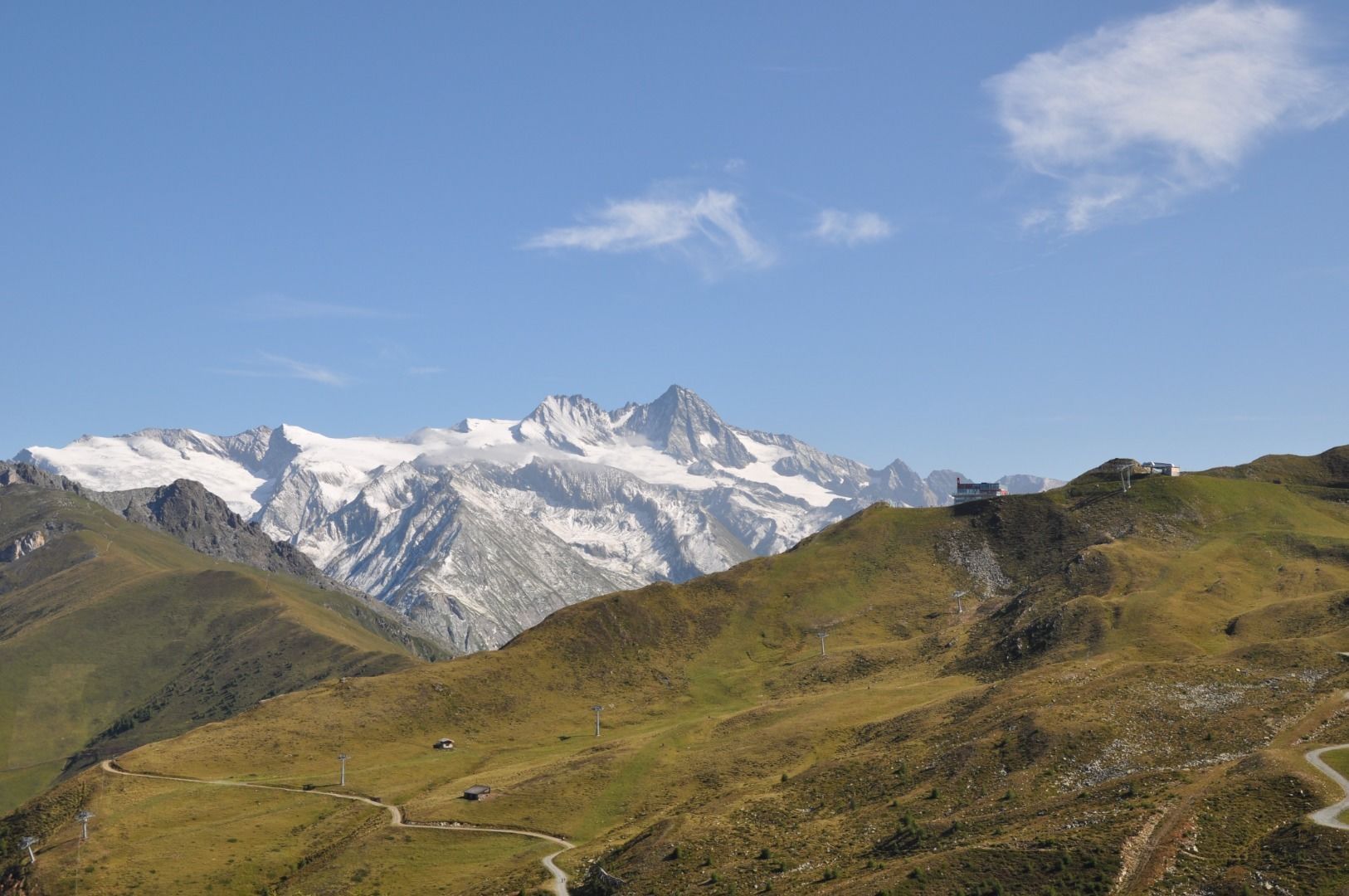
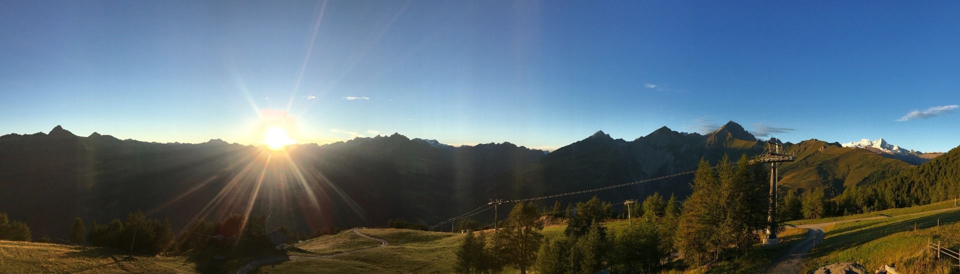
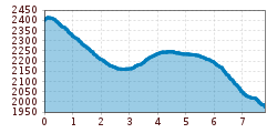
Start your hiking trip at the mountain station of the Kalser Bergbahn. There enthroned the Adlerlounge, on the ridge between Matrei in Osttirol and Kals am Großglockner. From the platform Adlerhorst, you can marvel at the Großglockner and another 60 three-thousand-meter peaks in all there glory.
Follow the wide gravel path downhill towards. Hidden in a hollow is the picturesque mountain lake Goldriedsee. Look out for marmots, chamois and golden eagles. After another 15 minutes, you reach the hut Berggasthaus Goldried at the mountain station of the cable car Matrei in Osttirol.
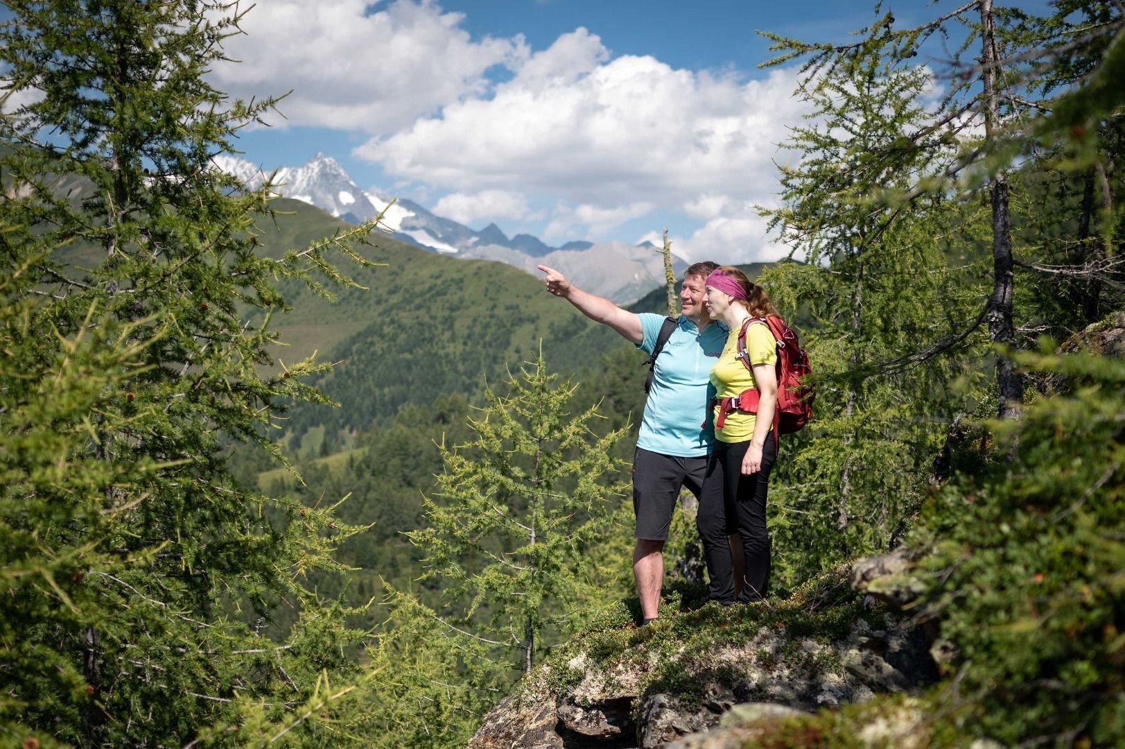
On the wide trail "Europapanoramaweg" you hike without much effort at the same altitude via the Goldriedalm to the hut Kals-Matreier Törl. There you can see the striking mountains Glödis, Böses Weibele, Hochschober and also Kals am Großglockner.
Now take the trail down to the middle station of the cable car Kalser Bergbahn. To return to the valley.
Kals a. G. Großdorf
Parking place valley station Kalser Bergbahn in Großdorf


www.bergpixel.de")


")


")


