Mountain hikes Goldriedriese

Matrei in Osttirol / Granatspitze Group
Difficulty ratings: easy
Route length: 8.0 km
Duration: 4:15 h

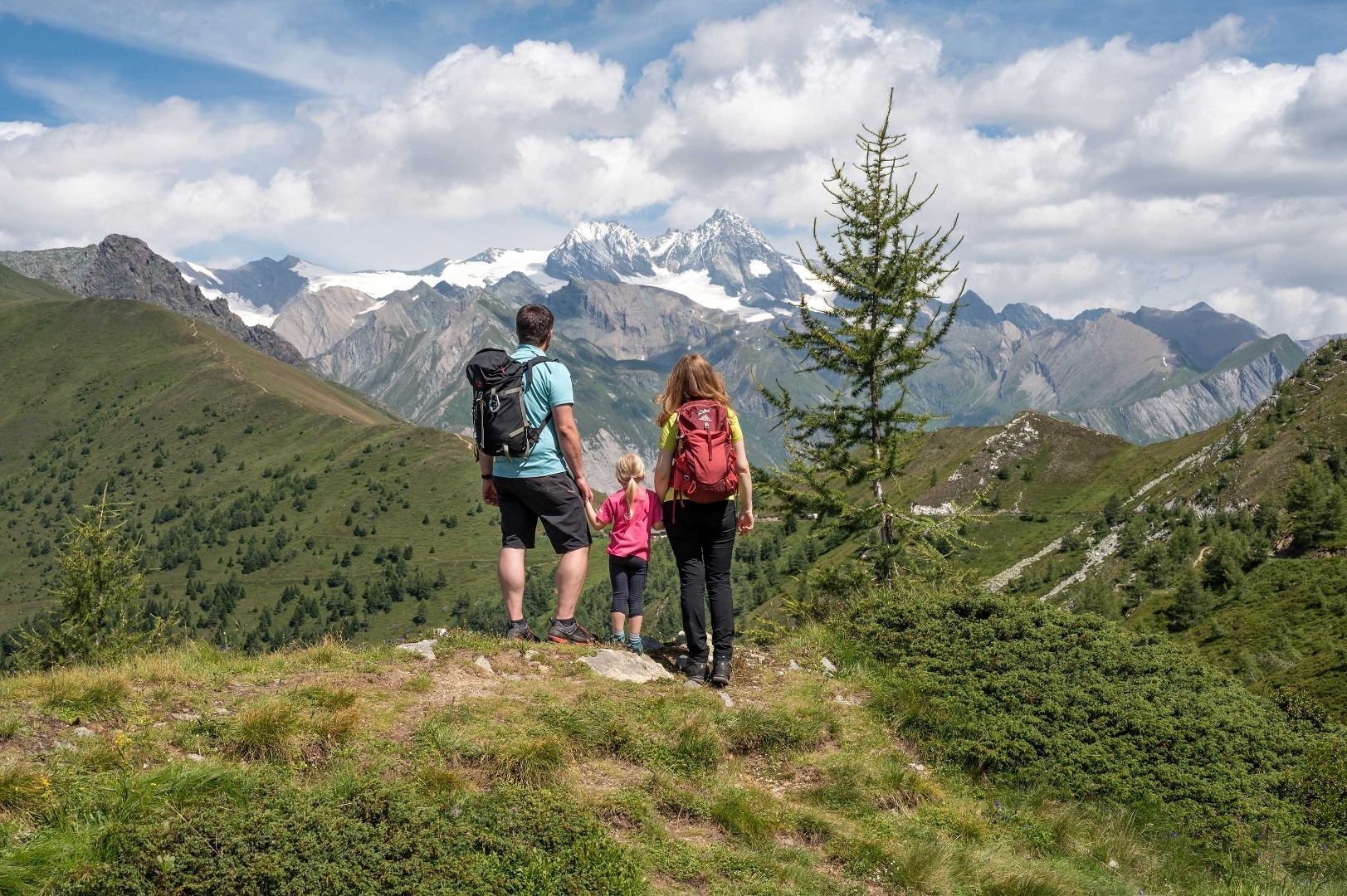
A legendary adventure walk in the Goldried area

Tour information

  • Requirement: easy
  • Length: 8.0 km
  • Duration: 4:15 h
  • Elevation uphill:660 hm
  • Elevation downhill:660 hm
Highest point2,163 m

Starting point

Car park Goldriedriese

Finishing point

Car park Goldriedriese
  • Fitness level 2 / 6
  • Technique 2 / 6

Features

  • Suitable for families

Best time of year

  • January
  • February
  • March
  • April
  • May
  • June
  • July
  • August
  • September
  • October
  • November
  • December

Trail condition

Steep path, short forest path passage

Equipment

Hiking equipment
Source: TVB Osttirol

Description

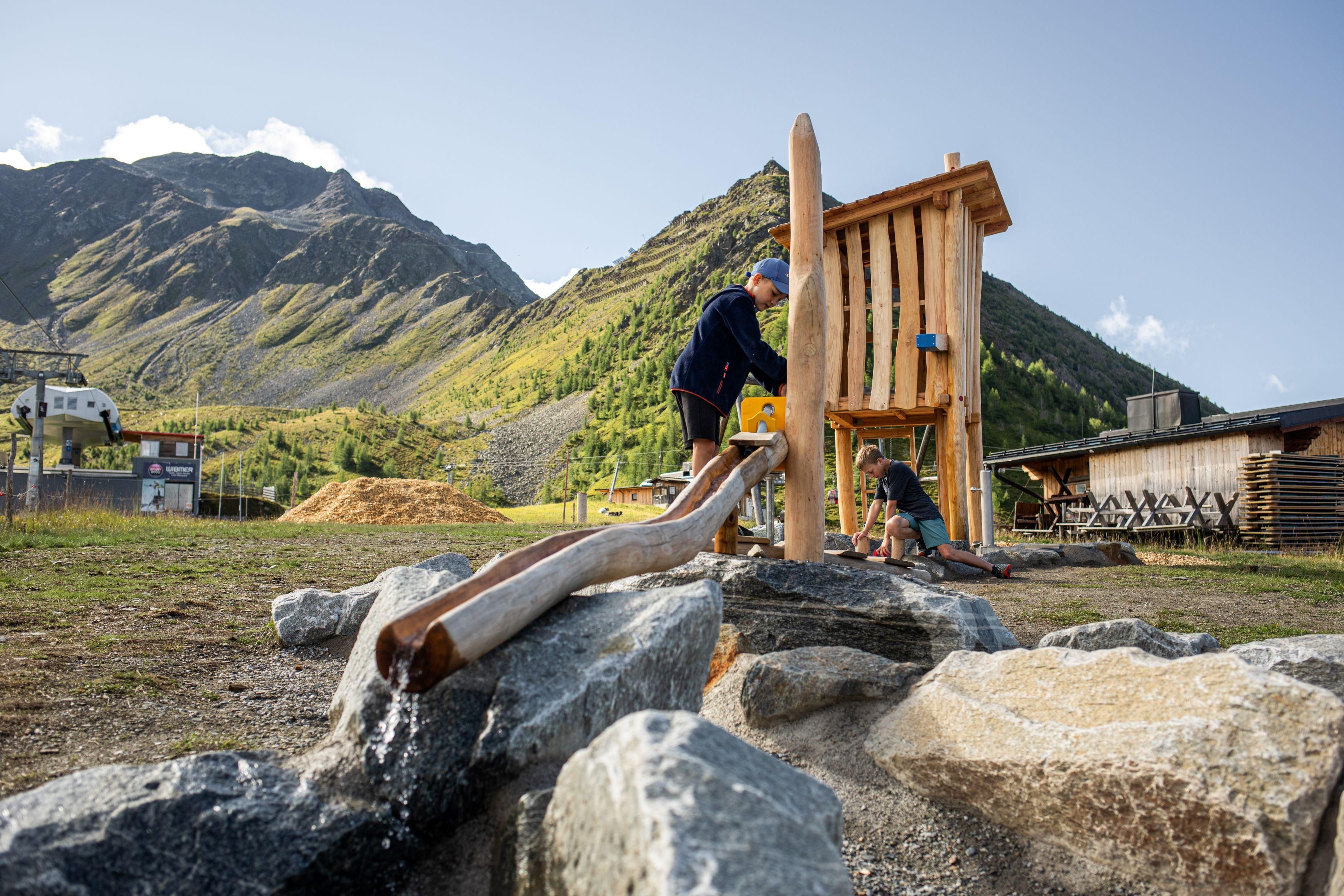
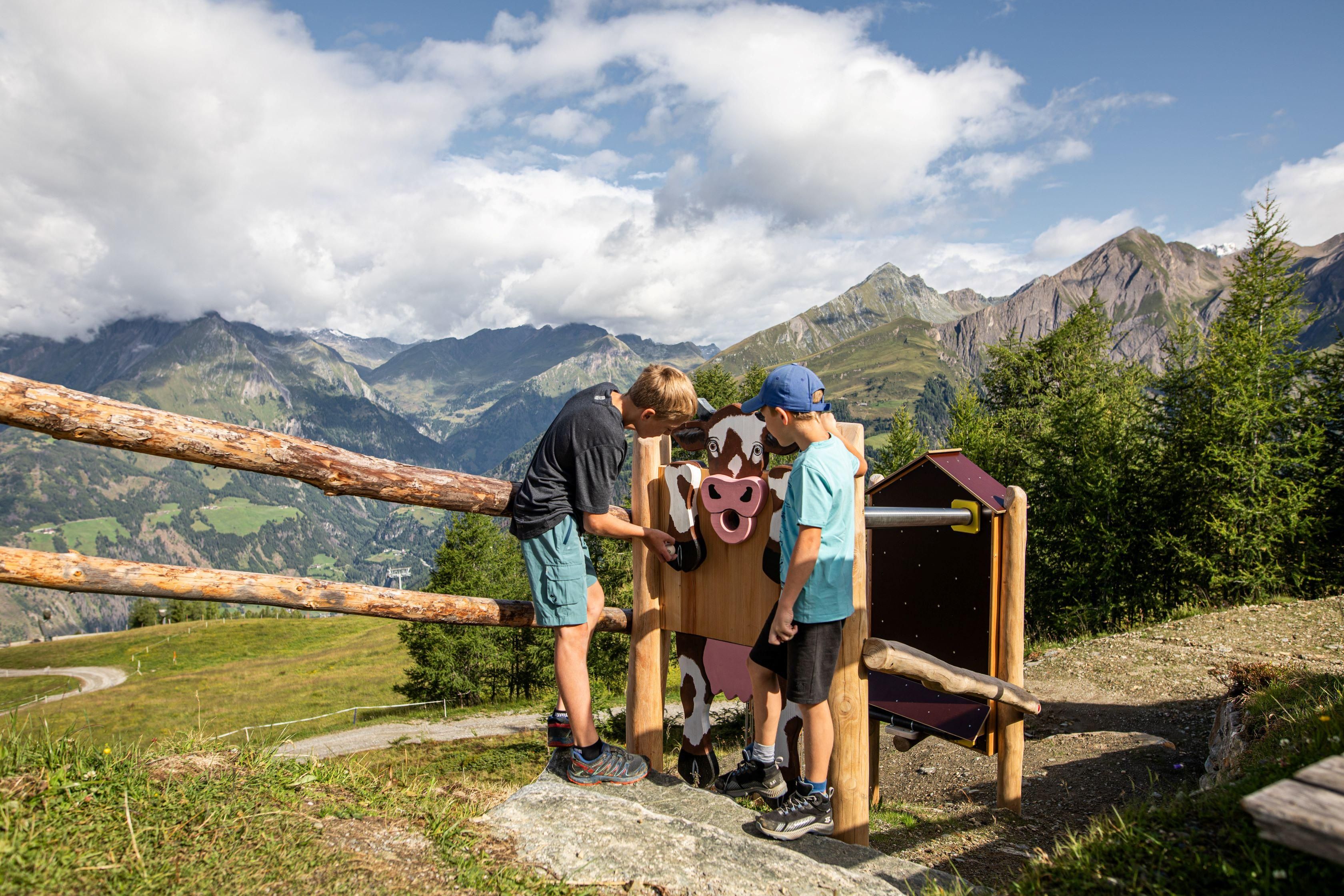
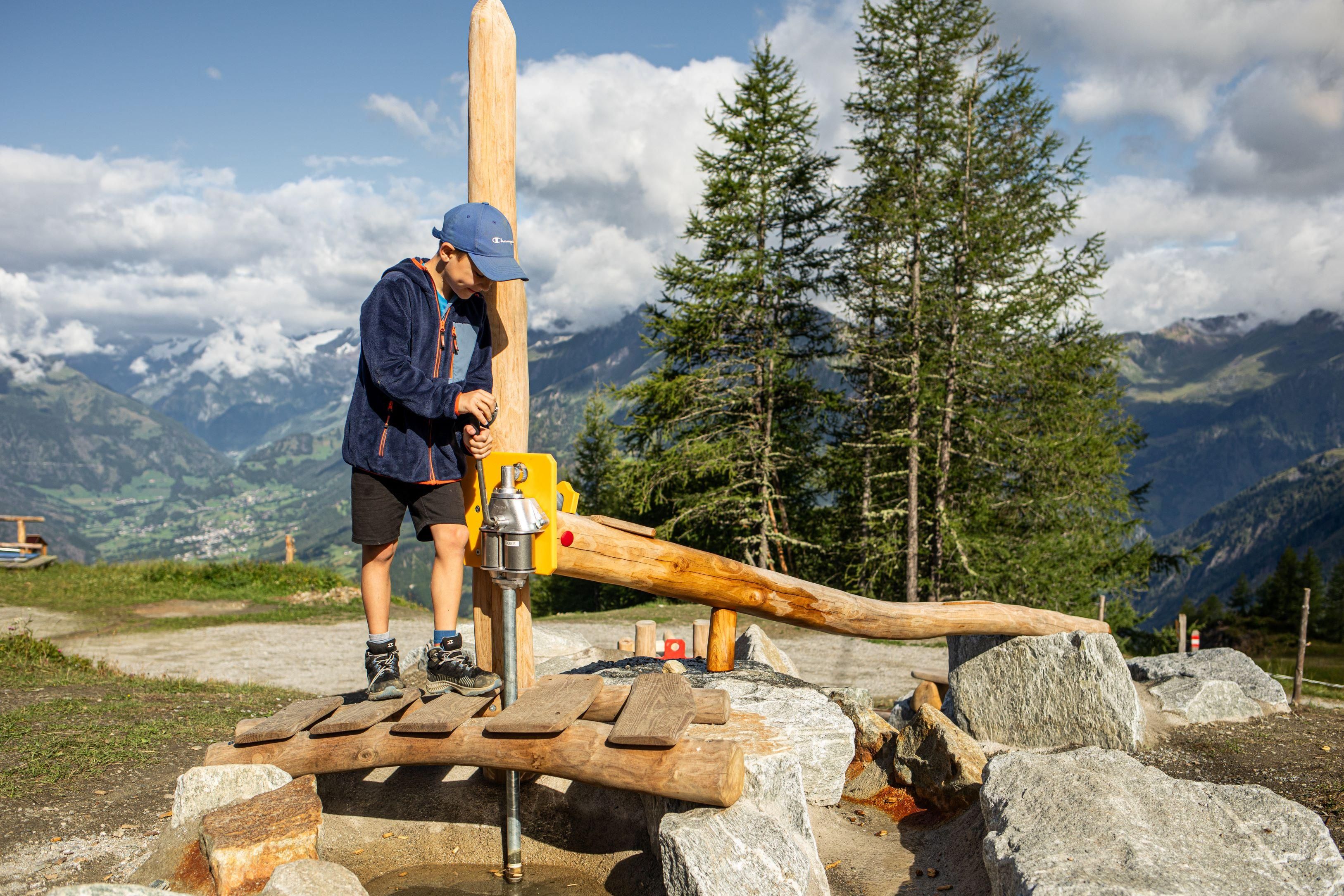
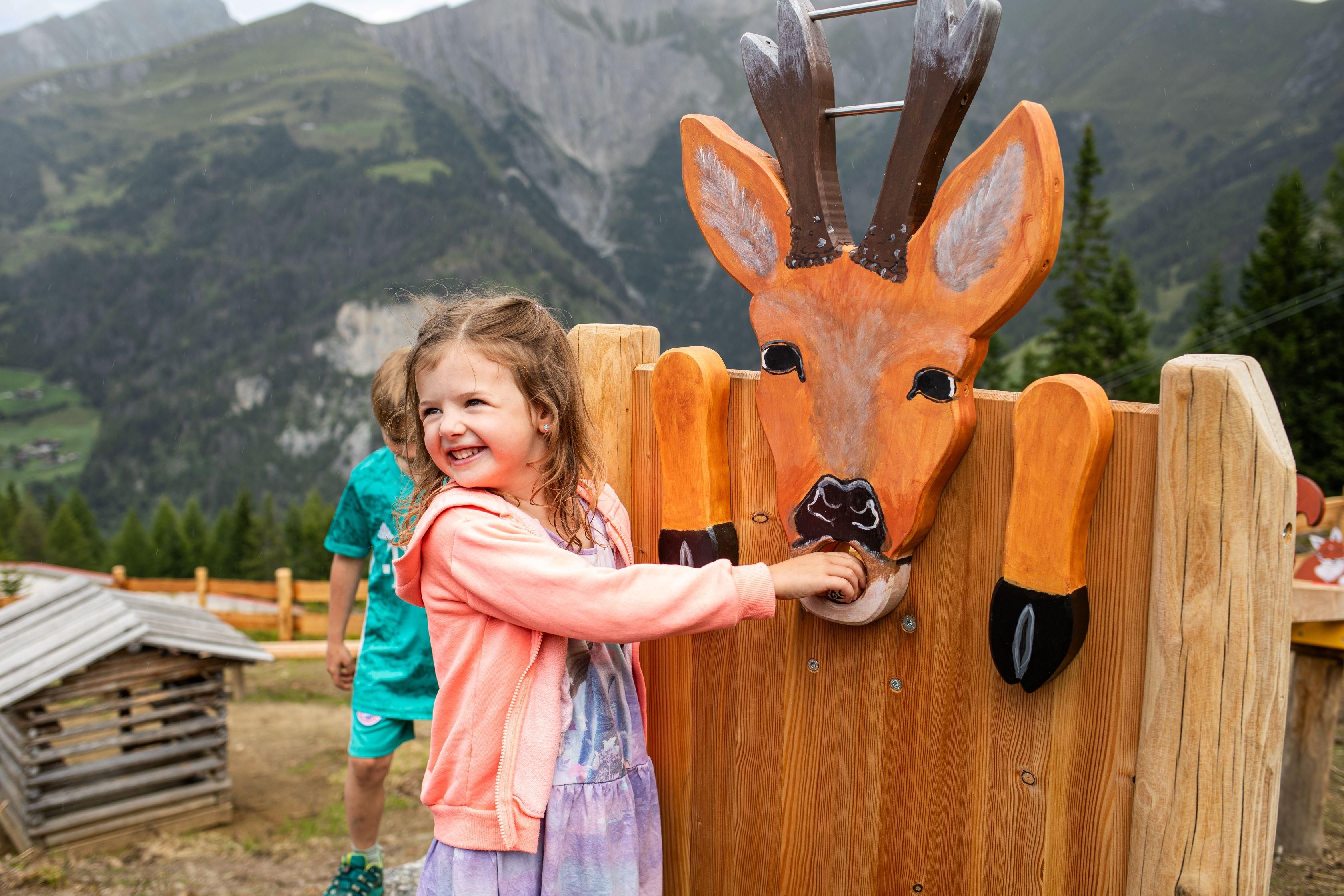
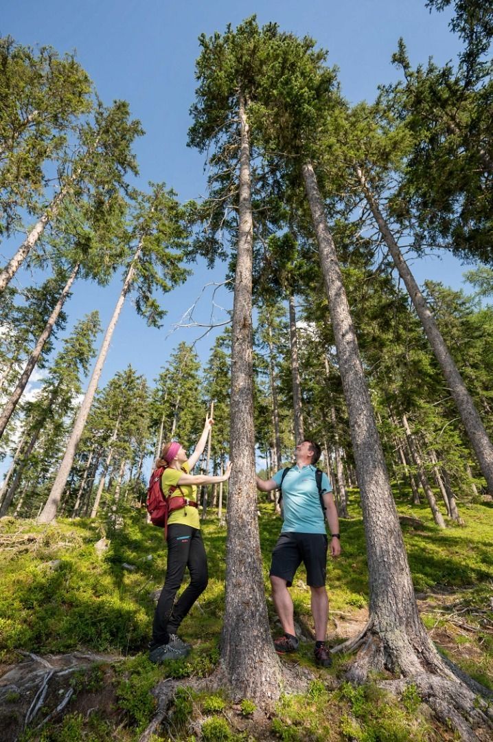
The "Goldriedriese" offers us interesting root paths that invite us to bathe in the forest and relax.

From the parking place "Eden-Happeck", the trail leads through mountain forest and alpine pastures into the Goldried. The four family businesses Jagatee Stub'n, Kuenzer Alm, Roatz Bodn Hitte and Berggasthaus Goldried invite you to stop for refreshments.

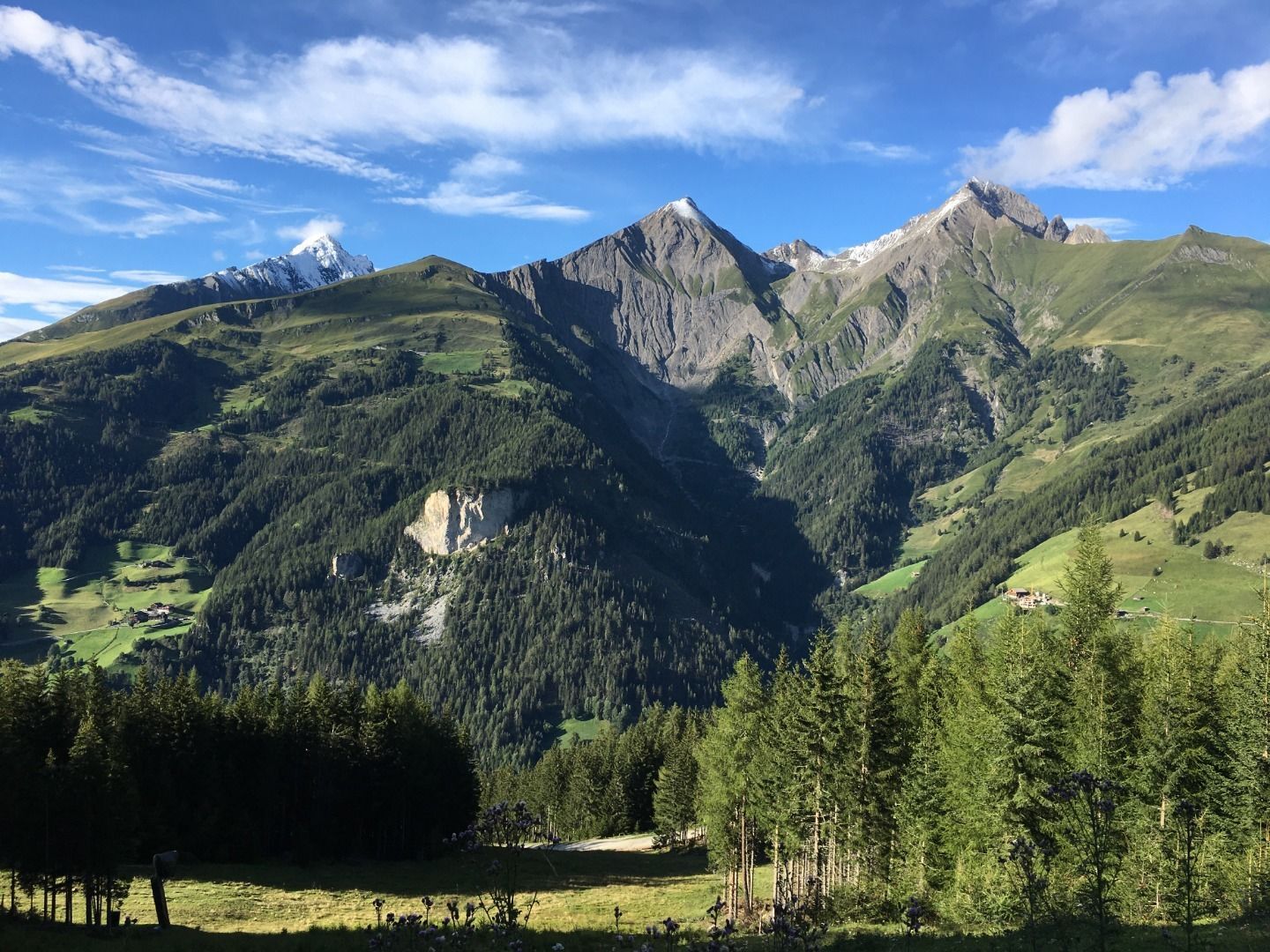
In the face of the mountain "Bretterwand", the hike starts in the forest Bannwald. In the past, as today, the valley Hinteres Iseltal has had to contend with natural hazards. Mudflows, avalanches and landslides are part of everyday life. The forest Bannwald offers protection from the dangerous stream Bretterwandbach, which has devastated the village of Matrei in Osttirol several times. On your hike, take a look at the imposing obstructions along the Bretterwandbach.

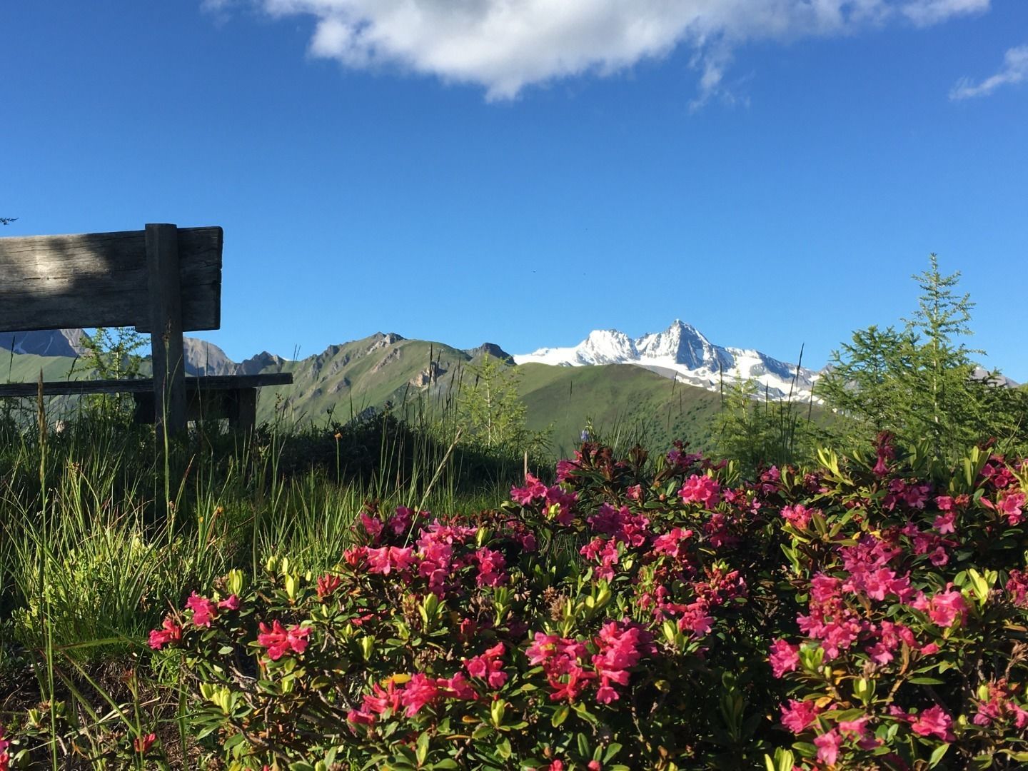
The Goldriedriese continues uphill over the “Hochroan”. Tyrolean grey cattle graze on the Hochalm. Arnica, cabbage roses and many orchids blossom on the species-rich mountain meadows next to the hiking trail.

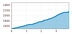
At the peak of the tour, at 2,150 metres, you are rewarded with a magnificent 360° panorama in the middle of the Nationalpark Hohe Tauern Osttirol. 66 three-thousand-metre peaks frame this area. The Großglockner, Austria's highest mountain, lies in the north. Here you visit the hunting grounds of the golden eagle, marmot and chamois. 

Nearby huts and mountain restaurants

Getting here

  • Arrival by public transport

    Matrei i. O. Korberplatz

  • Parking

    Parking place Goldriedriese

More tours in the surrounding area

  • Muhs panorama trail

    Difficulty:medium
    Length:15.2 kmDuration:6:00 hElevation uphill:1,090 m
  • Lasörling altitude trail

    Difficulty:medium
    Length:57.0 kmDuration:25:00 hElevation uphill:3,740 m
  • Venediger altitude trail

    Difficulty:difficult
    Length:55.5 kmDuration:27:00 hElevation uphill:3,915 m
  • Figerhorn

    Difficulty:difficult
    Length:6.5 kmDuration:6:00 hElevation uphill:807 m
  • Theme path "Virgen crossroads"

    Difficulty:easy
    Length:3.2 kmDuration:1:00 hElevation uphill:104 m
  • Lasörling 3.098m

    Difficulty:difficult
    Length:22.0 kmDuration:12:00 hElevation uphill:1,940 m
  • Circular walk church St. Nikolaus

    Difficulty:easy
    Length:5.4 kmDuration:1:39 hElevation uphill:150 m
  • Hike to the Venedigerhaus Innergschlöß

    Difficulty:easy
    Length:8.6 kmDuration:2:30 hElevation uphill:184 m
  • Rollitour with Swiss Trac

    Difficulty:easy
    Length:3.2 kmDuration:1:30 hElevation uphill:135 m
  • Rotenkogel

    Difficulty:difficult
    Length:3.9 kmDuration:3:00 hElevation uphill:383 m
  • Umbal waterfalls nature force trail

    Difficulty:easy
    Length:6.0 kmDuration:2:30 hElevation uphill:257 m
  • Glacier trail Innergschlöss/Schlatenkees

    Difficulty:medium
    Length:9.4 kmDuration:4:50 hElevation uphill:680 m
  • Hike to Kalser Tauernhaus

    Difficulty:medium
    Length:12.2 kmDuration:4:00 hElevation uphill:244 m
  • Hiking tour to Zupalsee Hütte 2.350m

    Difficulty:medium
    Length:14.9 kmDuration:8:30 hElevation uphill:1,261 m
  • Lucknerhaus - Stüdlhütte

    Difficulty:medium
    Length:9.3 kmDuration:4:30 hElevation uphill:862 m
  • Hiking tour to Neue Sajathütte 2.600m

    Difficulty:medium
    Length:10.3 kmDuration:6:50 hElevation uphill:1,086 m
  • Hiking tour to St. Pöltner Hütte and 3 lakes

    Difficulty:difficult
    Length:14.8 kmDuration:7:40 hElevation uphill:1,119 m
  • Hike to Neuen Reichenberger Hütte

    Difficulty:medium
    Length:18.2 kmDuration:9:00 hElevation uphill:1,252 m
Newsletter

The mountain is calling? So does our newsletter!

In our monthly newsletter we reveal the best holiday tips for Tyrol.