Hut hike Hike Kleiner Zunig 2.442m

Matrei in Osttirol / Venediger Group
Difficulty ratings: medium
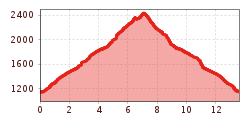
Route length: 13.6 km
Duration: 6:30 h

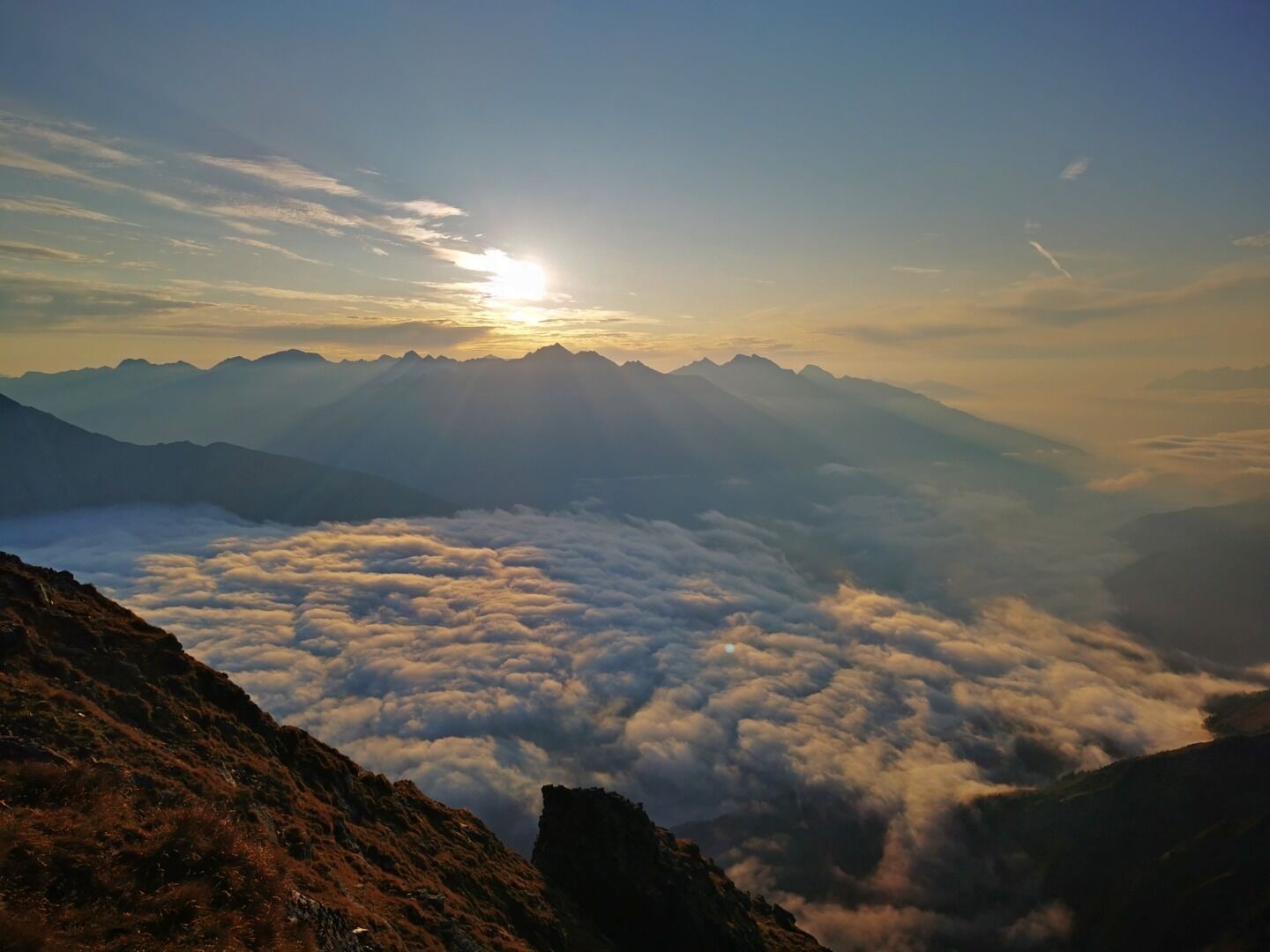
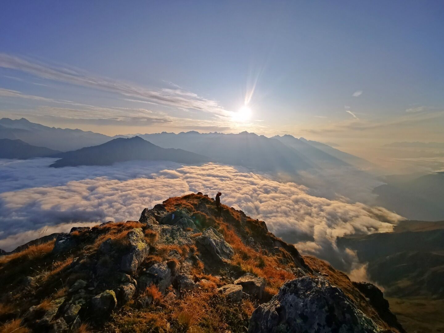
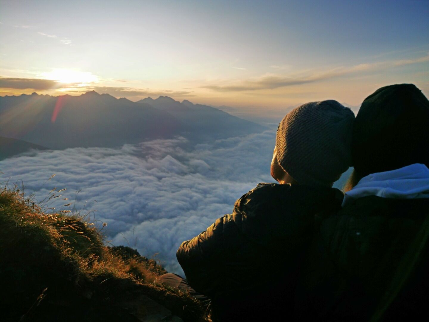
The perfect opportunity for an early morning walk to watch the sunrise
Tour information

  • Requirement: medium
  • Length: 13.6 km
  • Duration: 6:30 h
  • Elevation uphill:1,300 hm
  • Elevation downhill:1,300 hm
Highest point2,442 m

Starting point

Parkplatz Guggenberg 1.130m

Finishing point

Parkplatz Guggenberg 1.130m
  • Fitness level 5 / 6
  • Technique 3 / 6

Best time of year

  • January
  • February
  • March
  • April
  • May
  • June
  • July
  • August
  • September
  • October
  • November
  • December
Source: TVB Osttirol

Description

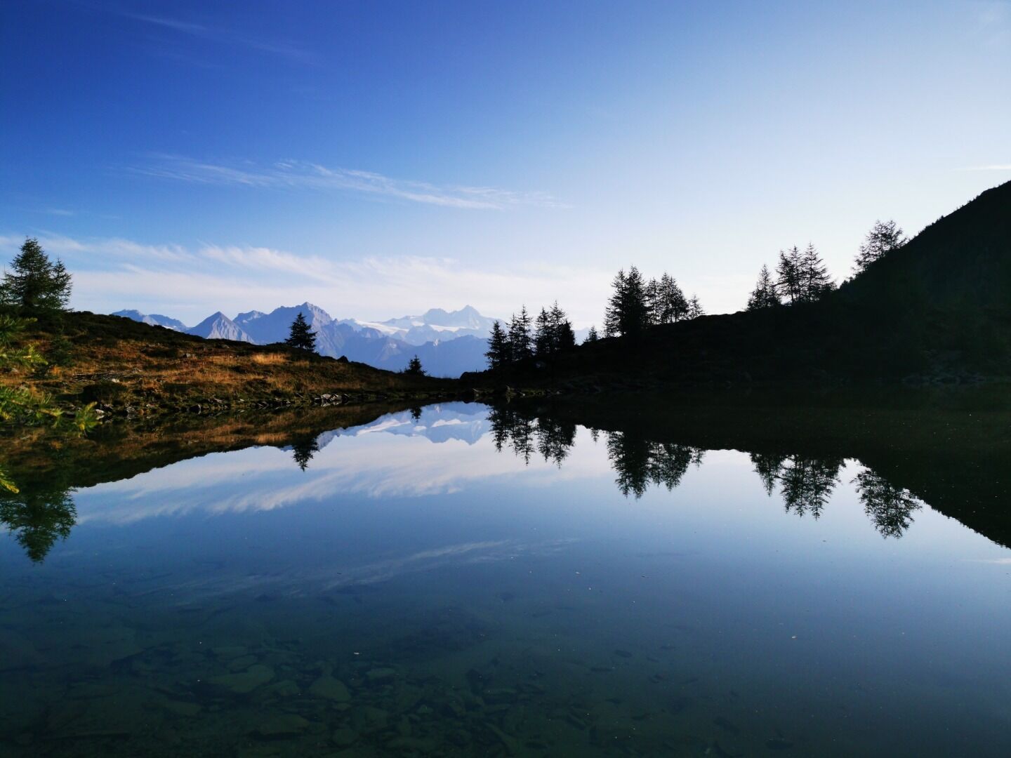
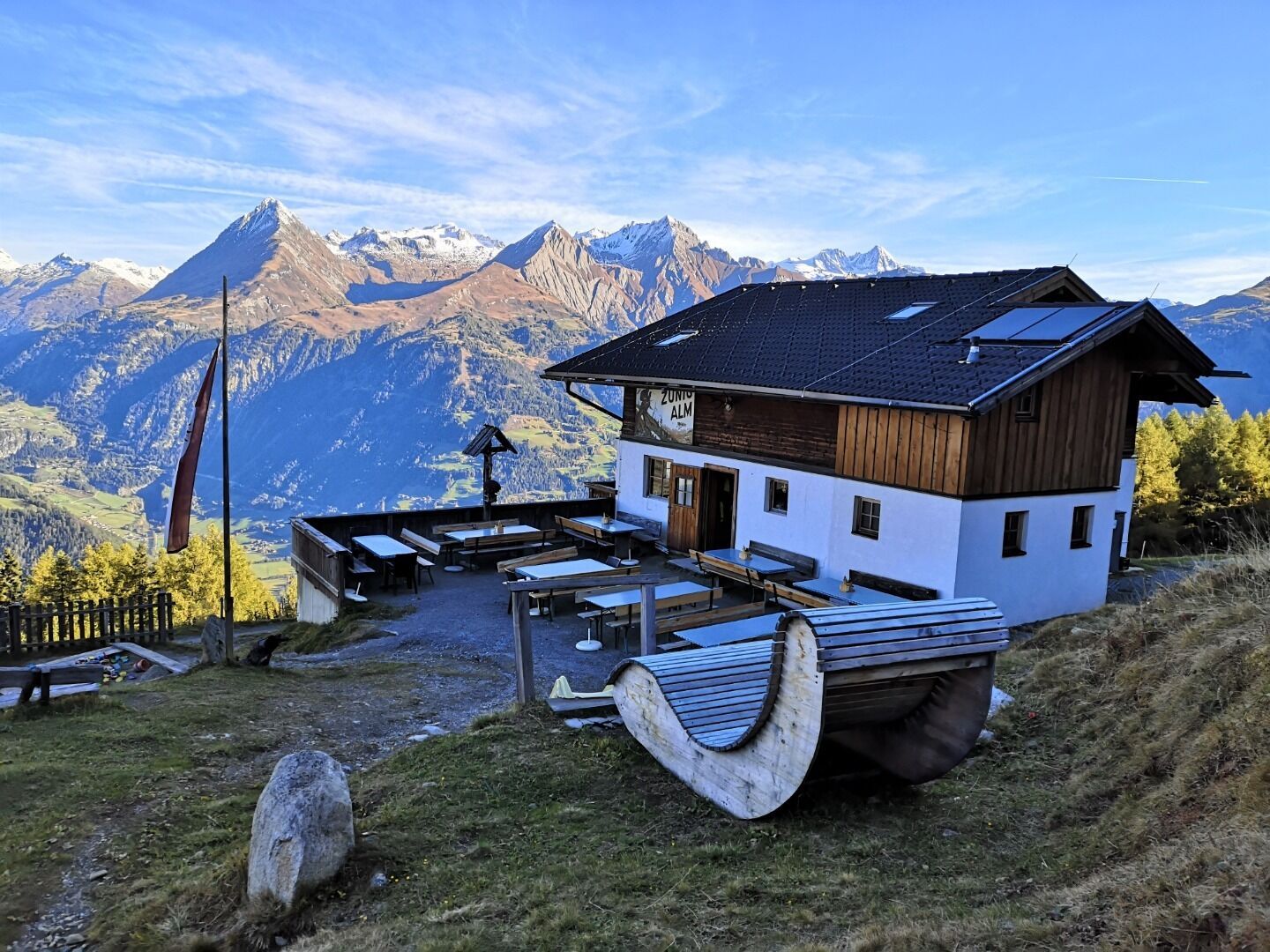
The hike starts at the Guggenberg car park in Matrei in Osttirol. From there you can either take the path or the wide forest trail and after about 1.5 hours you reach the Zunigalm. From there, follow the signs in the direction of the Zunigsee and on to the Zunigtörl. From there you reach the summit after a few hundred metres, from where you have an excellent view of the Virgen, Tauern and Iseltal valleys. The way back can be done via the same path or via the north side (Maleregg).

TIP: The summit is particularly suitable for a sunrise tour!

Nearby huts and mountain restaurants

  • Zunigalm 1.846m

    Opening hours:Open today
    Place:Matrei in Osttirol
    :Alpine pasture / hut / mountain restaurant

Getting here

  • Arrival by public transport

    Bus stop Matrei i. O. Auerfeld

  • Parking

    Car park Guggenberg

Weather

Today

mainly clear
25°C/12°C
45%0.6l0 km/h

Mon

light rain showers
24°C/12°C
70%9l0 km/h

Tue

light rain showers
23°C/11°C
50%1.5l0 km/h
Go to weather forecast

More tours in the surrounding area

  • Rollitour with Swiss Trac

    Difficulty:easy
    Length:3.2 kmDuration:1:30 hElevation uphill:135 m
  • Figerhorn

    Difficulty:difficult
    Length:6.6 kmDuration:6:00 hElevation uphill:811 m
  • Theme path "Virgen crossroads"

    Difficulty:easy
    Length:3.2 kmDuration:1:00 hElevation uphill:104 m
  • Muhs panorama trail

    Difficulty:medium
    Length:15.2 kmDuration:6:00 hElevation uphill:1,090 m
  • Herz-Ass Villgratental

    Difficulty:medium
    Length:75.6 kmDuration:34:00 hElevation uphill:5,703 m
  • Hike to Kalser Tauernhaus

    Difficulty:medium
    Length:12.2 kmDuration:4:00 hElevation uphill:244 m
  • Hiking tour to Neue Sajathütte 2.600m

    Difficulty:medium
    Length:10.3 kmDuration:6:50 hElevation uphill:1,086 m
  • Hiking tour to Zupalsee Hütte 2.350m

    Difficulty:medium
    Length:14.9 kmDuration:8:30 hElevation uphill:1,261 m
  • Badener Hütte

    Difficulty:difficult
    Length:23.2 kmDuration:12:00 hElevation uphill:1,754 m
  • Lucknerhaus - Stüdlhütte

    Difficulty:medium
    Length:9.3 kmDuration:4:30 hElevation uphill:862 m
  • Hike to Neuen Reichenberger Hütte

    Difficulty:medium
    Length:18.2 kmDuration:9:00 hElevation uphill:1,252 m
  • Hiking tour to Lasörlinghütte 2.350m

    Difficulty:medium
    Length:14.6 kmDuration:7:50 hElevation uphill:1,135 m
  • Hiking tour to St. Pöltner Hütte and 3 lakes

    Difficulty:difficult
    Length:14.8 kmDuration:7:40 hElevation uphill:1,119 m
  • Hike to the Venedigerhaus Innergschlöß

    Difficulty:easy
    Length:8.6 kmDuration:2:30 hElevation uphill:184 m
  • Children's mile Golzentipp

    Difficulty:easy
    Length:3.7 kmDuration:2:00 hElevation uphill:140 m
Newsletter

The mountain is calling? So does our newsletter!

In our monthly newsletter we reveal the best holiday tips for Tyrol.