Mountain hikes Isel round course through the sculpture park Virgen

Virgen in Osttirol / Venediger Group
Difficulty ratings: easy
Route length: 4.3 km
Duration: 1:00 h

An easy walking route for art and nature lovers
Tour information

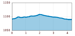
  • Requirement: easy
  • Length: 4.3 km
  • Duration: 1:00 h
  • Elevation uphill:10 hm
  • Elevation downhill:10 hm
Highest point1,100 m

Starting point

Car park Würfelehütte 1.100m

Finishing point

Car park Würfelehütte 1.100m
  • Fitness level 1 / 6
  • Technique 1 / 6

Features

  • Circular route
  • Suitable for families
  • Wheelchair hike
  • suitable for pushchairs

Best time of year

  • January
  • February
  • March
  • April
  • May
  • June
  • July
  • August
  • September
  • October
  • November
  • December

Trail condition

Gravel

Equipment

Basic equipmentformountainhikingincludessturdy hiking bootswith a goodtread, a 30-35 literbackpack, and functionalclothingbased on thelayeringprinciple, includingsufficient spare clothes. Essential itemsare rain, cold, and sunprotection, adequatefluids and food, aswellas a first-aid kit and a charged mobile phone. A mapor a GPS devicesupportsorientation. 

The informationservesas a guideline and does not claimtobe exhaustive. Equipment mustalwaysbeadaptedtothe planned route, weatherconditions, season, naturalhazards, environmental influences, and personal needs. 

Source: TVB Osttirol

Description

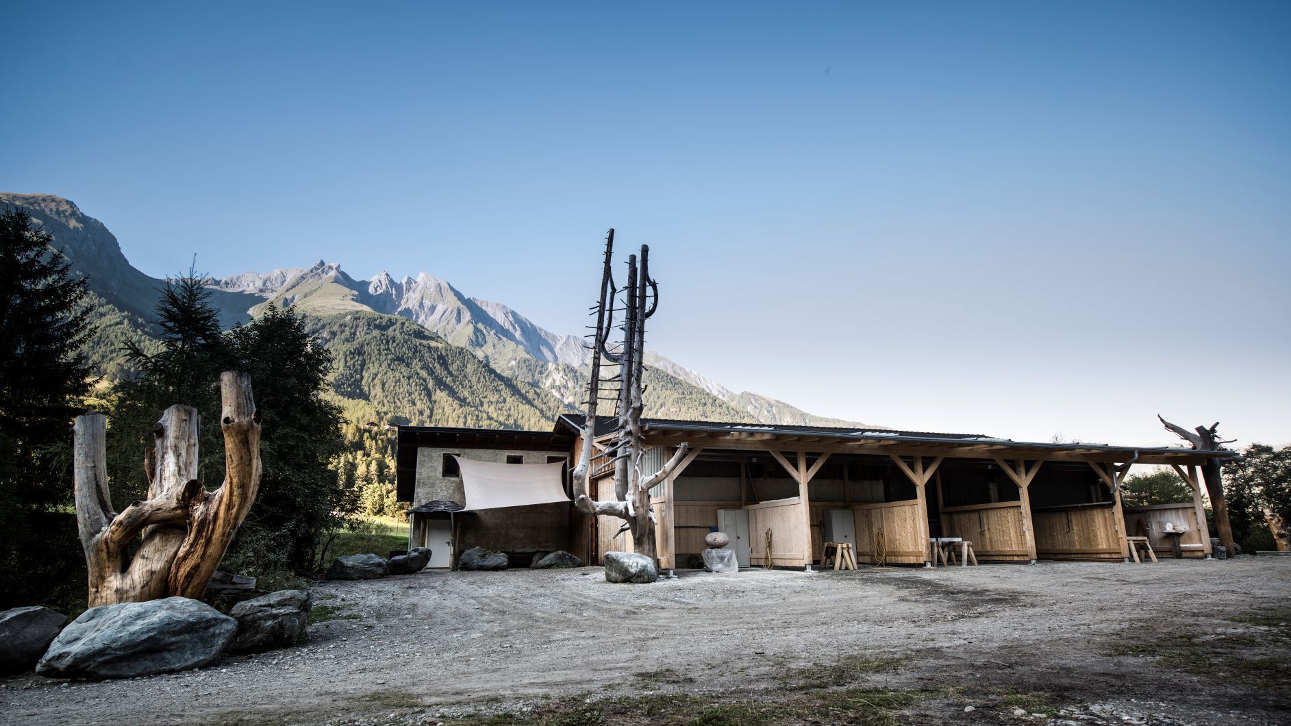
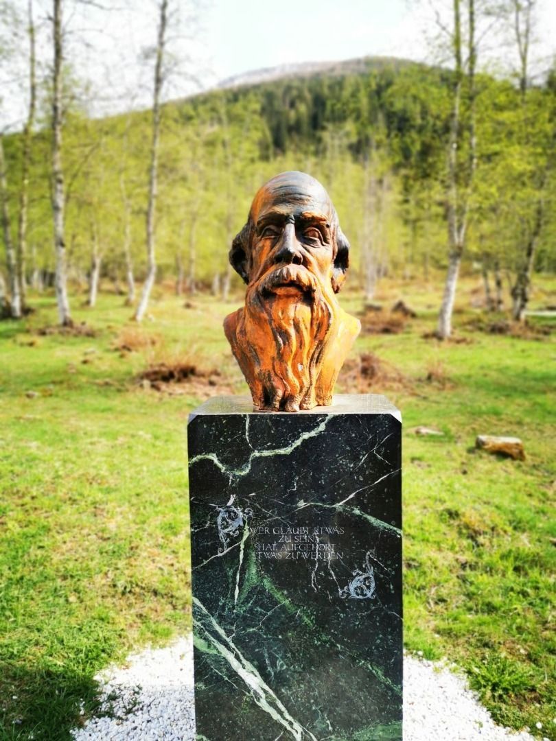
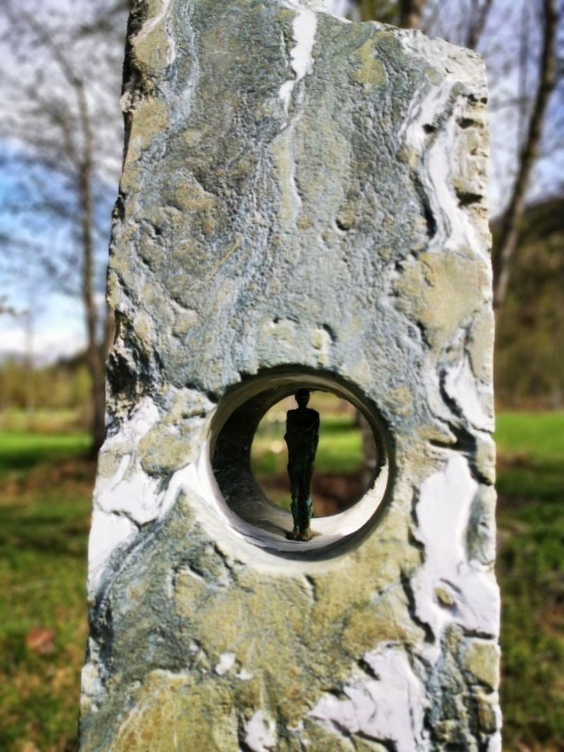
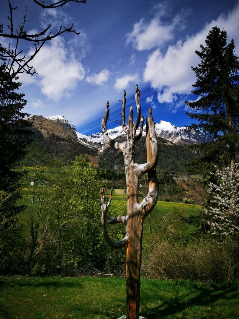
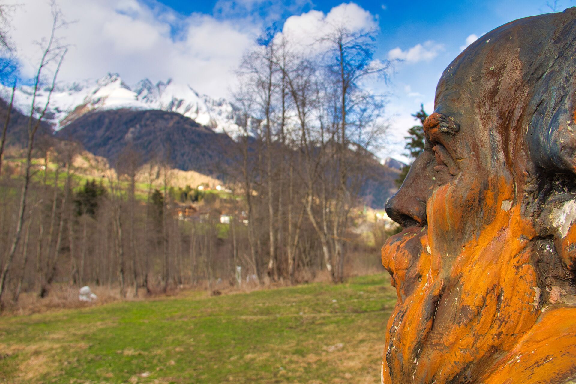
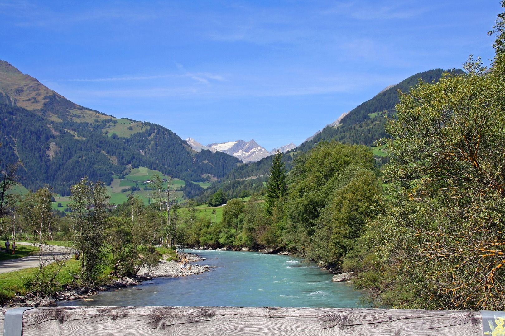
This stroller-friendly pleasure hike starts at the parking lot Würfelehütte on Virger Tratte. From here you follow the gentle path to the west. After about 400 meters you will reach the Steinbildhauerwerkstatt Virgen. Here you can watch the many artists of the Virgen Valley at work during the summer months and learn interesting anecdotes from the life of artists during a conversation. After the Steinbildhauerwerkstatt, a small path leads through the Skulpturenpark, where you can enjoy the impressive works of art in all their glory. The biotope at the end of the Park invites you to linger. The way back is via the opposite side of the river.  

Nearby huts and mountain restaurants

Getting here

  • Arrival by public transport

    Bus stop Virgen Kirche

  • Parking

    Follow the street Virgener Landesstraße. Turn left after the tavern Gasthof Rose and then left again immediately after the bakery Joast. Follow the road to its end and then turn right to reach the parking place Würfelehütte.
    Car park Würfelehütte

Weather

Today

light rain showers
7°C/0°C
75%4.3l5 km/h

Sun

snow showers
5°C/-1°C
65%4l5 km/h

Mon

partly Cloudy
11°C/1°C
20%0l5 km/h
Go to weather forecast

More tours in the surrounding area

  • Lasörling altitude trail

    Difficulty:medium
    Length:55.4 kmDuration:25:00 hElevation uphill:3,718 m
  • Venediger altitude trail

    Difficulty:difficult
    Length:55.5 kmDuration:27:00 hElevation uphill:3,975 m
  • Theme path "Virgen crossroads"

    Difficulty:easy
    Length:3.2 kmDuration:1:00 hElevation uphill:104 m
  • Figerhorn

    Difficulty:difficult
    Length:6.6 kmDuration:6:00 hElevation uphill:811 m
  • Böses Weibele

    Difficulty:medium
    Length:13.6 kmDuration:6:30 hElevation uphill:965 m
  • Herz-Ass Villgratental

    Difficulty:medium
    Length:75.6 kmDuration:34:00 hElevation uphill:5,703 m
  • Muhs panorama trail

    Difficulty:medium
    Length:15.2 kmDuration:6:00 hElevation uphill:1,090 m
  • Glödis via ferrata route

    Opening hours:open
    Difficulty:BExposition:SE
    Duration:1:00 hDuration:4:00 hElevation difference:230 m
  • Hike to the Venedigerhaus Innergschlöß

    Difficulty:easy
    Length:8.6 kmDuration:2:30 hElevation uphill:184 m
  • Böses Weibl

    Difficulty:difficult
    Length:14.1 kmDuration:8:00 hElevation uphill:1,193 m
  • Children's mile Golzentipp

    Difficulty:easy
    Length:3.7 kmDuration:2:00 hElevation uphill:140 m
  • Lasörling 3.098m

    Difficulty:difficult
    Length:22.0 kmDuration:12:00 hElevation uphill:1,940 m
  • Circular walk church St. Nikolaus

    Difficulty:easy
    Length:5.4 kmDuration:1:39 hElevation uphill:150 m
  • Badener Hütte

    Difficulty:difficult
    Length:23.2 kmDuration:12:00 hElevation uphill:1,754 m
  • Hiking tour to St. Pöltner Hütte and 3 lakes

    Difficulty:difficult
    Length:14.8 kmDuration:7:40 hElevation uphill:1,119 m
  • Trail Virgentaler Sonnseitenweg

    Difficulty:medium
    Length:41.9 kmDuration:1 dayElevation uphill:2,641 m
  • Lucknerhaus - Stüdlhütte

    Difficulty:medium
    Length:9.3 kmDuration:4:30 hElevation uphill:862 m
Newsletter

The mountain is calling? So does our newsletter!

In our monthly newsletter we reveal the best holiday tips for Tyrol.