Mountain hikes Kerschbaumeralm bothy - Karlsbaderhütte – Dolomitenhütte

Amlach / Gailtal Alps
Difficulty ratings: medium
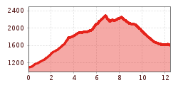
Route length: 12.5 km
Duration: 7:00 h

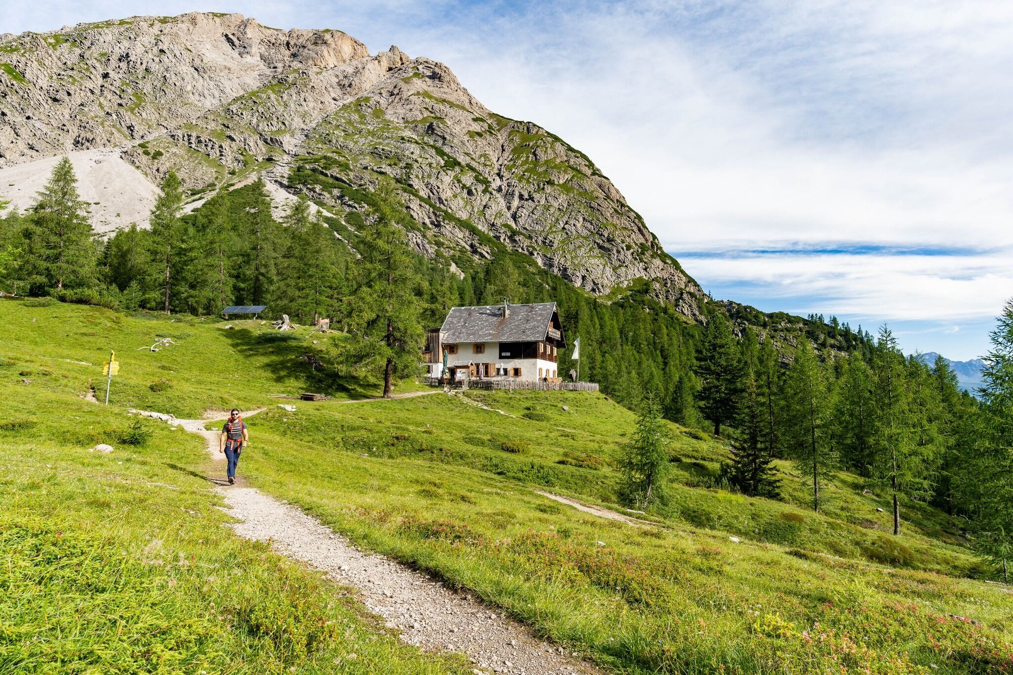
Kerschbaumeralm bothy is located at 1902m altitude in Kerschbaumeralmtal, north west of the main area of the Lienz Dolomites. Surrounded by numerous peaks which are Alpine in scale (Kreuzkofel, Eisenschuß, Weittalsspitze, Simonskopf, Große and Kleine Gamswiesenspitze), yet at the same time providing open views to the north, to the Schober group.
Tour information

  • Requirement: medium
  • Length: 12.5 km
  • Duration: 7:00 h
  • Elevation uphill:1,340 hm
  • Elevation downhill:847 hm
Highest point2,290 m

Starting point

Lienz, Tristach, Hut Dolomitenhütte

Finishing point

Kerschbaumertörl
  • Fitness level 4 / 6
  • Technique 4 / 6

Best time of year

  • January
  • February
  • March
  • April
  • May
  • June
  • July
  • August
  • September
  • October
  • November
  • December
Source: TVB Osttirol

Description

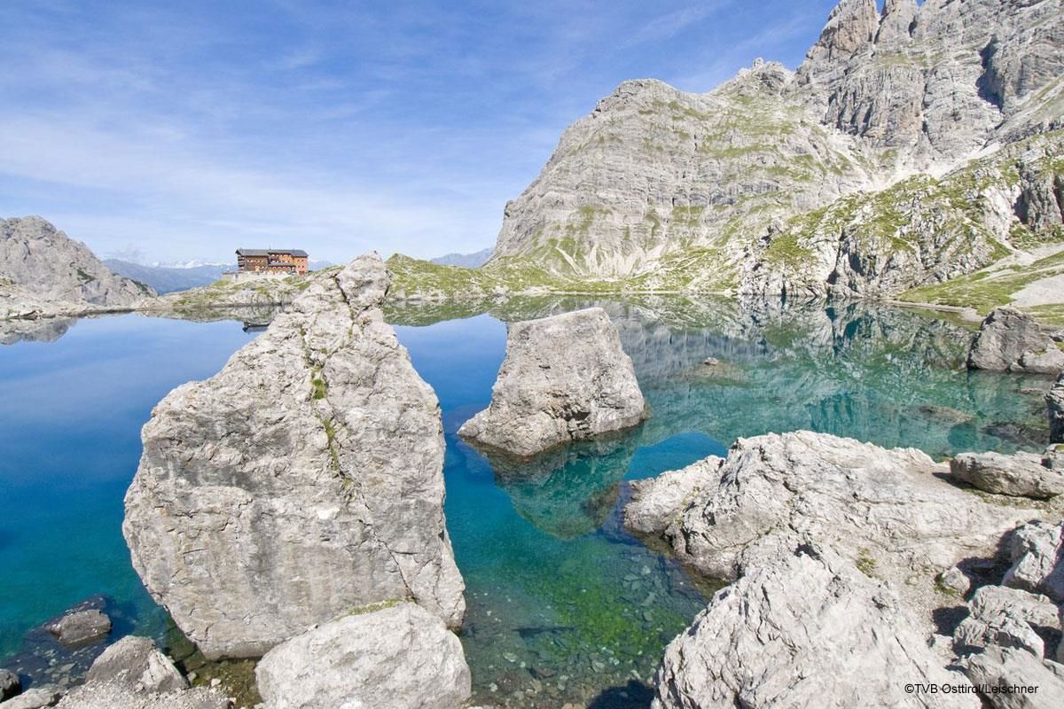
From the car park at the gorge bridge, follow the signposted path to Kerschbaumer Alm. After a rest, continue from there on the path to Kerschbaumer Törl, 2285m, up to Karlsbaderhütte. From here, descend via the Engeländer hiking trail to the Dolomitenhütte.
Alternatively, you may also leave out Karlsbaderhütte. To do this, after Kerschbaumer Törl, take the path to the left to Marcherstein, heading to Dolomitenhütte. This will save some 45 minutes of walking time.

Nearby huts and mountain restaurants

Getting here

  • Parking

    Parkplatz Klammbrückl

Weather

Today

clear sky
25°C/8°C
0%0l5 km/h

Wed

light rain showers
25°C/10°C
80%11.7l5 km/h

Thu

light rain
19°C/13°C
80%8.7l5 km/h
Go to weather forecast

More tours in the surrounding area

  • Muhs panorama trail

    Difficulty:medium
    Length:15.2 kmDuration:6:00 hElevation uphill:1,090 m
  • Herz-Ass Villgratental

    Difficulty:medium
    Length:75.6 kmDuration:34:00 hElevation uphill:5,703 m
  • Venediger altitude trail

    Difficulty:difficult
    Length:55.5 kmDuration:27:00 hElevation uphill:3,975 m
  • Figerhorn

    Difficulty:difficult
    Length:6.6 kmDuration:6:00 hElevation uphill:811 m
  • Theme path "Virgen crossroads"

    Difficulty:easy
    Length:3.2 kmDuration:1:00 hElevation uphill:104 m
  • Lasörling altitude trail

    Difficulty:medium
    Length:55.4 kmDuration:25:00 hElevation uphill:3,718 m
  • Circular walk church St. Nikolaus

    Difficulty:easy
    Length:5.4 kmDuration:1:39 hElevation uphill:150 m
  • Lasörling 3.098m

    Difficulty:difficult
    Length:22.0 kmDuration:12:00 hElevation uphill:1,940 m
  • Böses Weibl

    Difficulty:difficult
    Length:14.1 kmDuration:8:00 hElevation uphill:1,193 m
  • Iseltrail

    Difficulty:medium
    Length:75.3 kmDuration:24:30 hElevation uphill:2,347 m
  • Trail Virgentaler Sonnseitenweg

    Difficulty:medium
    Length:41.9 kmDuration:19:00 hElevation uphill:2,641 m
  • Badener Hütte

    Difficulty:difficult
    Length:23.2 kmDuration:12:00 hElevation uphill:1,754 m
  • Lucknerhaus - Stüdlhütte

    Difficulty:medium
    Length:9.3 kmDuration:4:30 hElevation uphill:862 m
  • Hiking tour to St. Pöltner Hütte and 3 lakes

    Difficulty:difficult
    Length:14.8 kmDuration:7:40 hElevation uphill:1,119 m
  • Hike to the Venedigerhaus Innergschlöß

    Difficulty:easy
    Length:8.6 kmDuration:2:30 hElevation uphill:184 m
  • Hike to Kalser Tauernhaus

    Difficulty:medium
    Length:12.2 kmDuration:4:00 hElevation uphill:244 m
  • Hiking tour to Neue Sajathütte 2.600m

    Difficulty:medium
    Length:10.3 kmDuration:6:50 hElevation uphill:1,086 m
  • Hiking tour to Zupalsee Hütte 2.350m

    Difficulty:medium
    Length:14.9 kmDuration:8:30 hElevation uphill:1,261 m
Newsletter

The mountain is calling? So does our newsletter!

In our monthly newsletter we reveal the best holiday tips for Tyrol.