Mountain hikes Nature and Culture Trail Debanttal

Nußdorf-Debant / Schober Group
Difficulty ratings: easy
Route length: 7.6 km
Duration: 2:30 h

Nature and Culture Trail Debanttal

Tour information

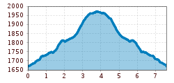
  • Requirement: easy
  • Length: 7.6 km
  • Duration: 2:30 h
  • Elevation uphill:315 hm
  • Elevation downhill:310 hm
Highest point1,970 m

Starting point

Seichenbrunn parking area

Finishing point

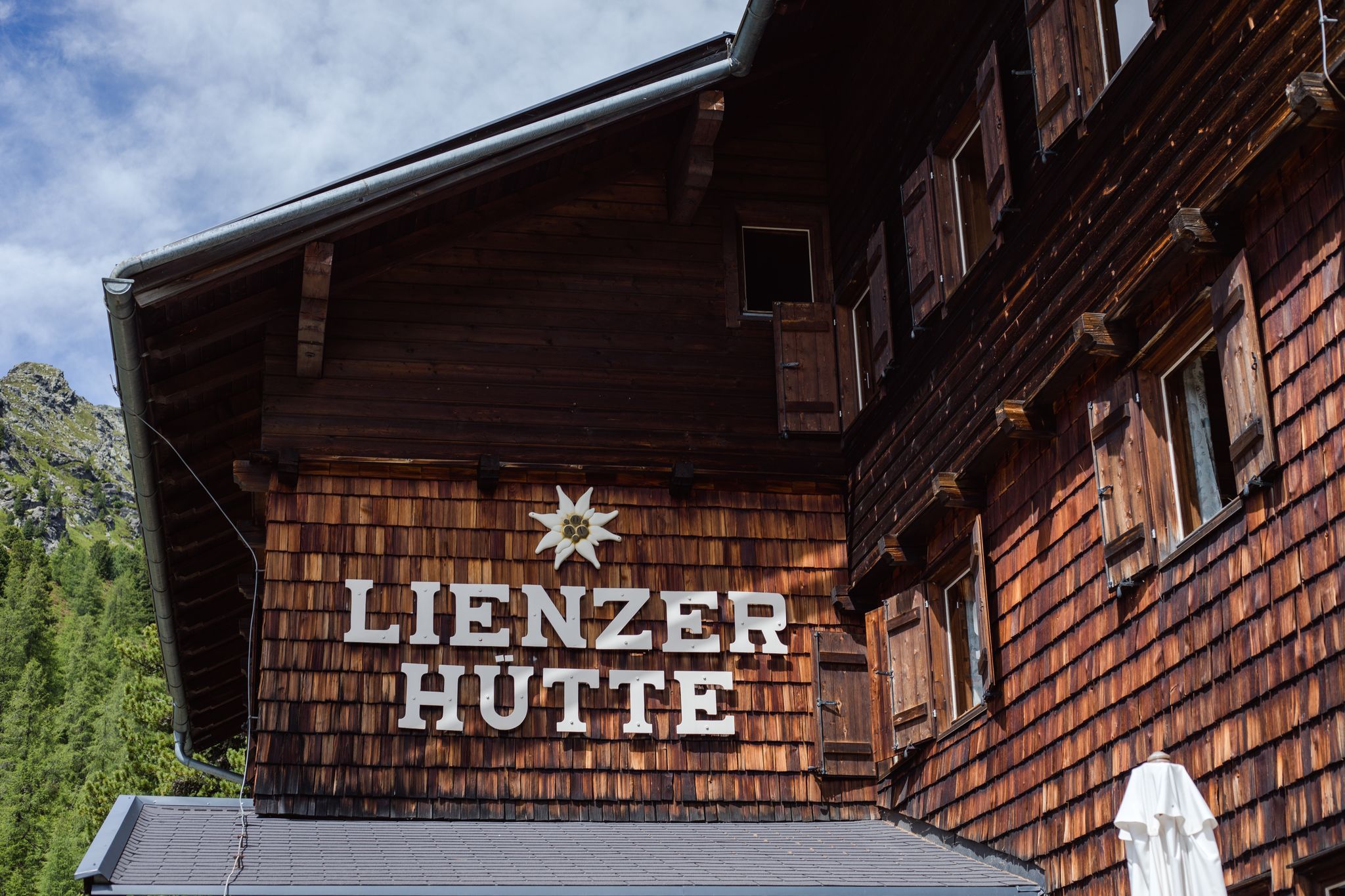
Lienzer Hütte
  • Fitness level 1 / 6
  • Technique 1 / 6

Features

  • Circular route

Best time of year

  • January
  • February
  • March
  • April
  • May
  • June
  • July
  • August
  • September
  • October
  • November
  • December
Source: TVB Osttirol

Description

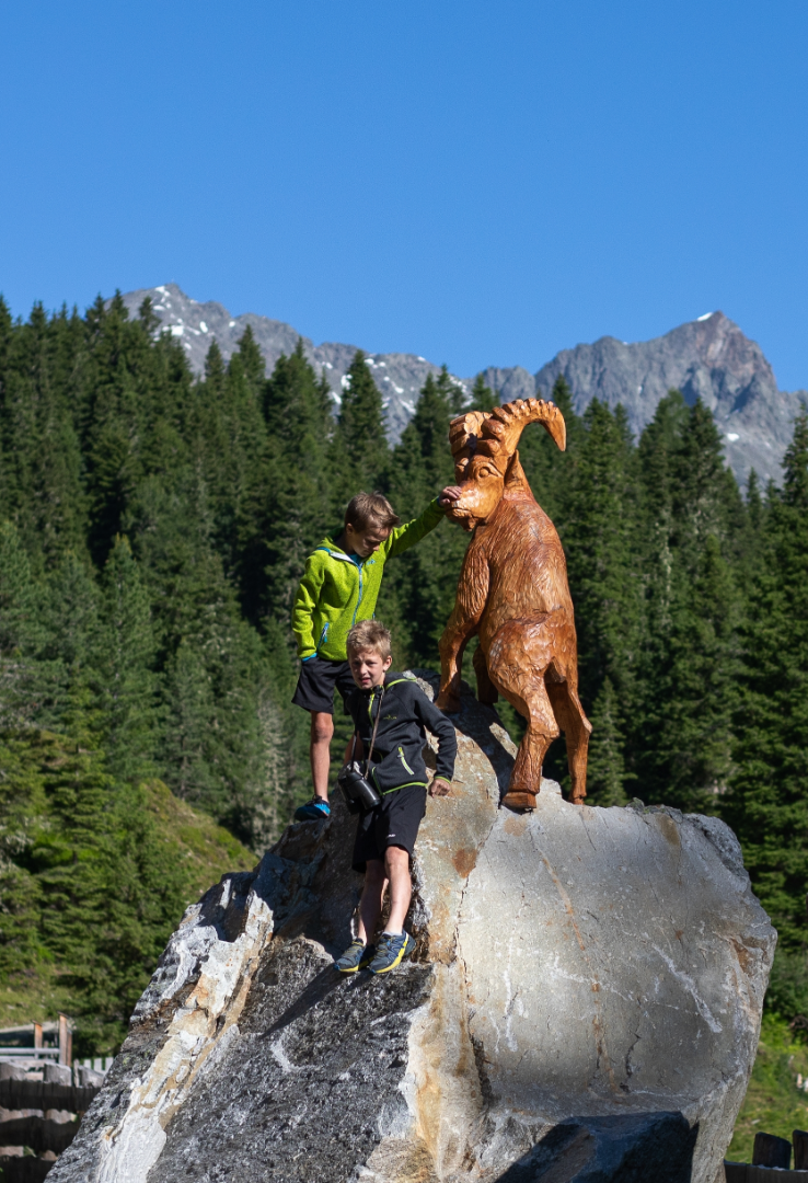
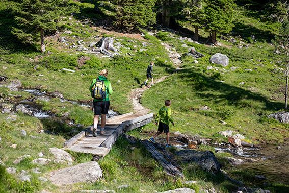
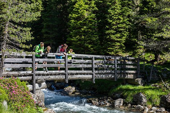
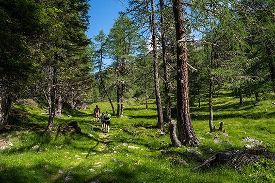
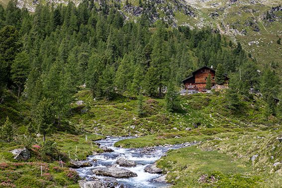
This themed trail leads from the Seichenbrunn car park along the Debantbach stream via the Gaimberger Alm and the Hofalm to the Lienzerhütte. The hike takes visitors through a diversely structured alpine landscape, framed by a mighty mountain backdrop. Interesting information boards provide details about the lifestyle of lichens, the value of moors, the birdlife of the larch and stone pine forests, and the cultural-historical and ecological significance of traditional alpine farming. For all those who wish to delve deeper into the subject of alpine pastures, there is a small alpine museum located in the area of the Hofalm.

Nearby huts and mountain restaurants

  • Lienzer Hütte 1.977m

    Opening hours:Open today
    Place:Nußdorf-Debant
    :Alpine pasture / hut / mountain restaurant
Getting here

  • Arrival by public transport

    Thursday and Monday with the hiking bus to the Seichenbrunn parking lot.

  • Parking

    Seichenbrunn parking area

Weather

Thu

mainly clear
30°C/15°C
20%0l5 km/h

Today

light rain showers
30°C/16°C
70%8.1l5 km/h

Sat

light rain showers
27°C/16°C
40%1.5l5 km/h
Go to weather forecast

More tours in the surrounding area

  • Rollitour with Swiss Trac

    Difficulty:easy
    Length:3.2 kmDuration:1:30 hElevation uphill:135 m
  • Venediger altitude trail

    Difficulty:difficult
    Length:55.5 kmDuration:27:00 hElevation uphill:3,975 m
  • Figerhorn

    Difficulty:difficult
    Length:6.6 kmDuration:6:00 hElevation uphill:811 m
  • Theme path "Virgen crossroads"

    Difficulty:easy
    Length:3.2 kmDuration:1:00 hElevation uphill:104 m
  • Lasörling altitude trail

    Difficulty:medium
    Length:55.4 kmDuration:25:00 hElevation uphill:3,718 m
  • Muhs panorama trail

    Difficulty:medium
    Length:15.2 kmDuration:6:00 hElevation uphill:1,090 m
  • Herz-Ass Villgratental

    Difficulty:medium
    Length:75.6 kmDuration:34:00 hElevation uphill:5,703 m
  • Hike to Kalser Tauernhaus

    Difficulty:medium
    Length:12.2 kmDuration:4:00 hElevation uphill:244 m
  • Iseltrail

    Difficulty:medium
    Length:75.3 kmDuration:24:30 hElevation uphill:2,347 m
  • Hiking tour to Neue Sajathütte 2.600m

    Difficulty:medium
    Length:10.3 kmDuration:6:50 hElevation uphill:1,086 m
  • Hiking tour to Zupalsee Hütte 2.350m

    Difficulty:medium
    Length:14.9 kmDuration:8:30 hElevation uphill:1,261 m
  • Trail Virgentaler Sonnseitenweg

    Difficulty:medium
    Length:41.9 kmDuration:19:00 hElevation uphill:2,641 m
  • Badener Hütte

    Difficulty:difficult
    Length:23.2 kmDuration:12:00 hElevation uphill:1,754 m
  • Lucknerhaus - Stüdlhütte

    Difficulty:medium
    Length:9.3 kmDuration:4:30 hElevation uphill:862 m
  • Hike to Neuen Reichenberger Hütte

    Difficulty:medium
    Length:18.2 kmDuration:9:00 hElevation uphill:1,252 m
  • Hiking tour to Lasörlinghütte 2.350m

    Difficulty:medium
    Length:14.6 kmDuration:7:50 hElevation uphill:1,135 m
Newsletter

The mountain is calling? So does our newsletter!

In our monthly newsletter we reveal the best holiday tips for Tyrol.