Arrival by public transport
Virgen Kirche
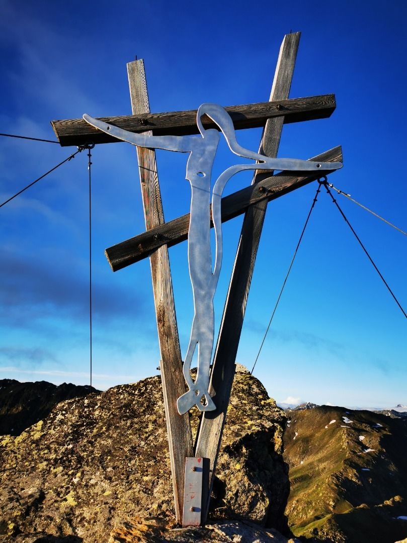
Oberstkogel 2.570m


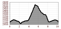
The hike starts at the Wetterkreuzhütte at 2.106 m. You can also reach this hut comfortably with the hut taxi from Virgen. (Tel. +43 4874/52 27). The Wetterkreuzhütte can be reached on foot in about 4 hours from Virgen.
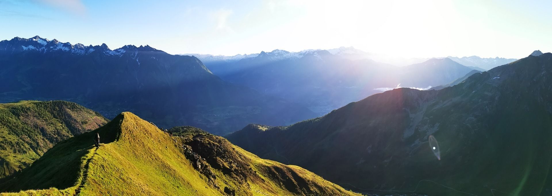
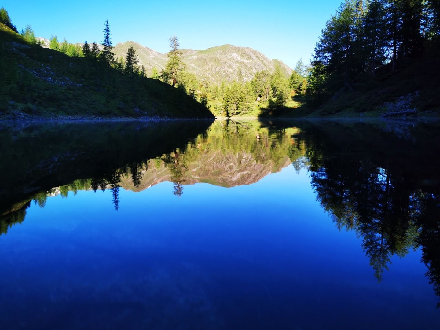
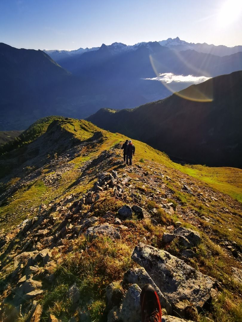
Follow the wide road direction to Zupalseehütte and turn left after about 200m. After a short time you come to another crossroads, where you turn left to the Lasörling Höhenweg. After about 30 minutes you reach the idyllically situated Lackensee - a real insider tip for mountain lake fans! After a few meters you turn right onto the final ascent and follow the ridge to the summit. In the summit area the path is secured by a steel rope - but you don't need a via ferrata set. The view to the Großvenediger (3.657m), Großglockner (3.798m) and several other 3000m peaks compensates for the effort of the ascent.
For the descent follow the path over the ridge southwards and turns right at the signpost. After about 1.5km you come back to the Lasörling Höhenweg and reach the Wetterkreuzhütte via the same section of the ascent route.
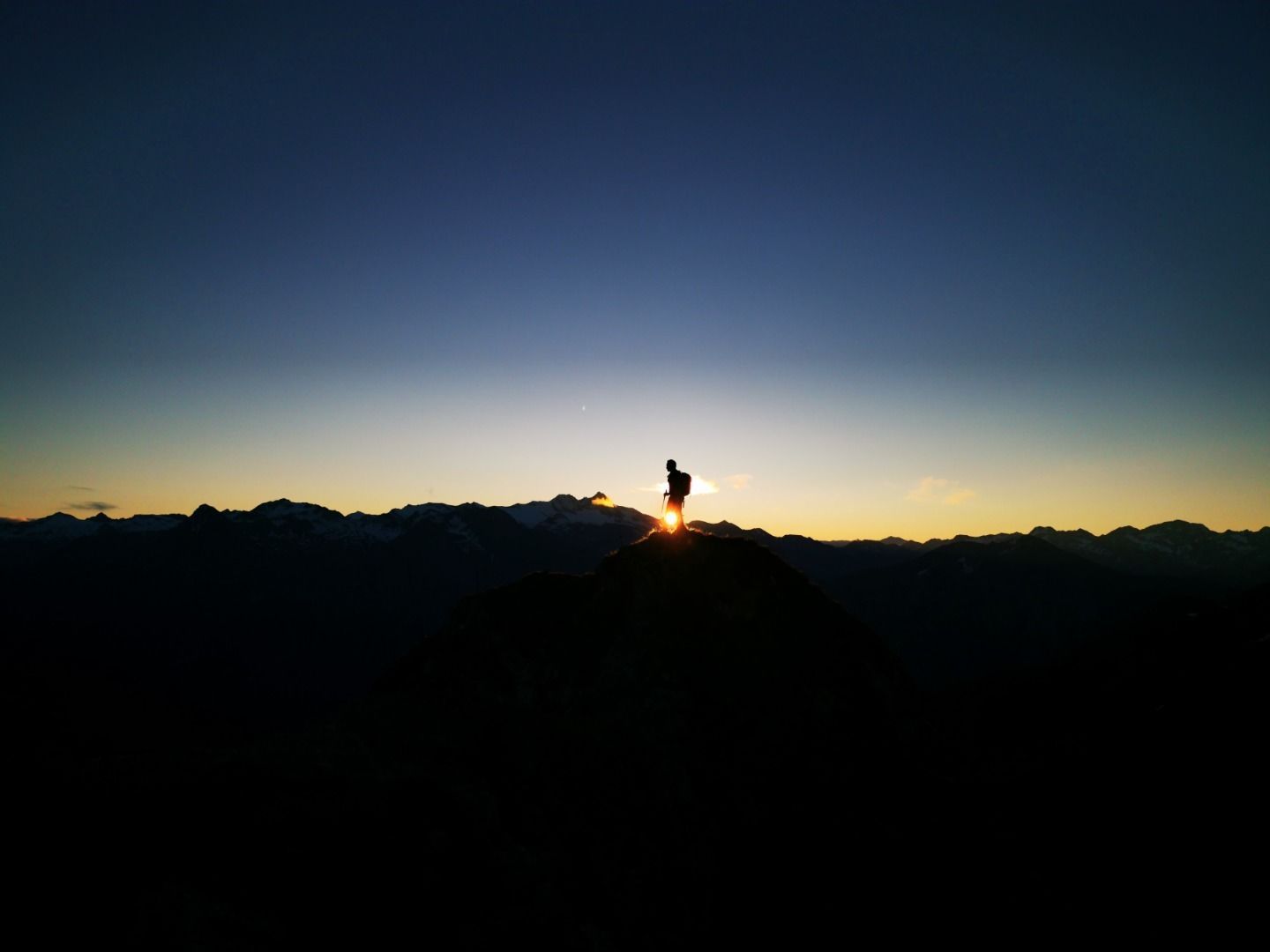
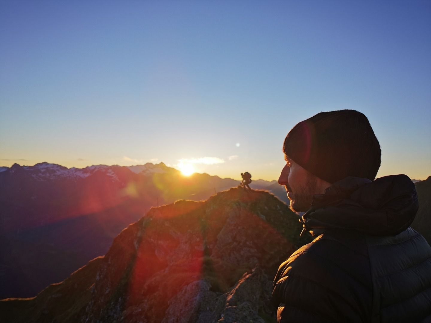
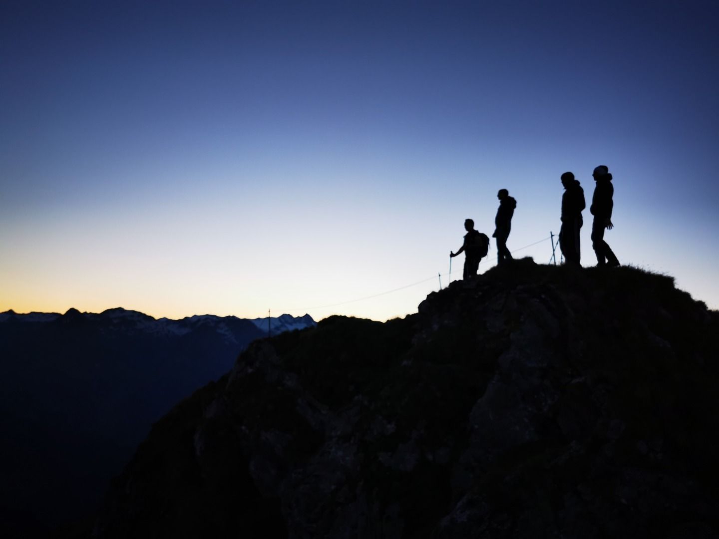
Special tip: It is worth getting up early - a sunrise on the Oberstkogel is a special experience!
Virgen Kirche
Parking Place Würfelehütte

www.bergpixel.de")


")


")


