Arrival by public transport
Prägraten a.G. Gemeindeamt
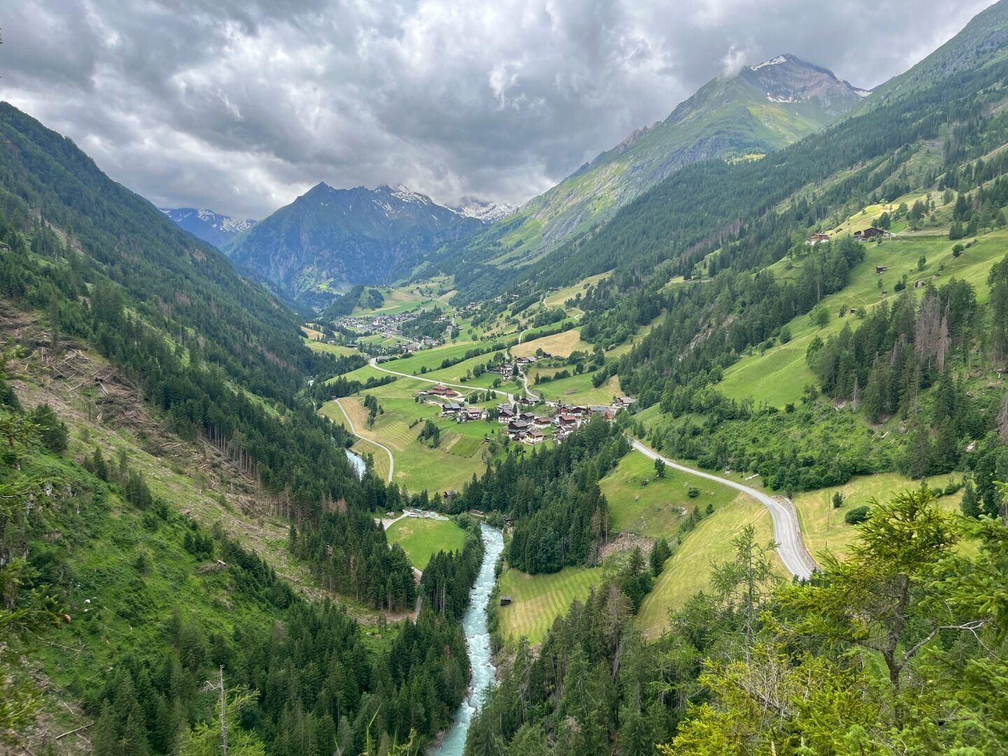
Prägraten - Hohe Bank – Obermauern

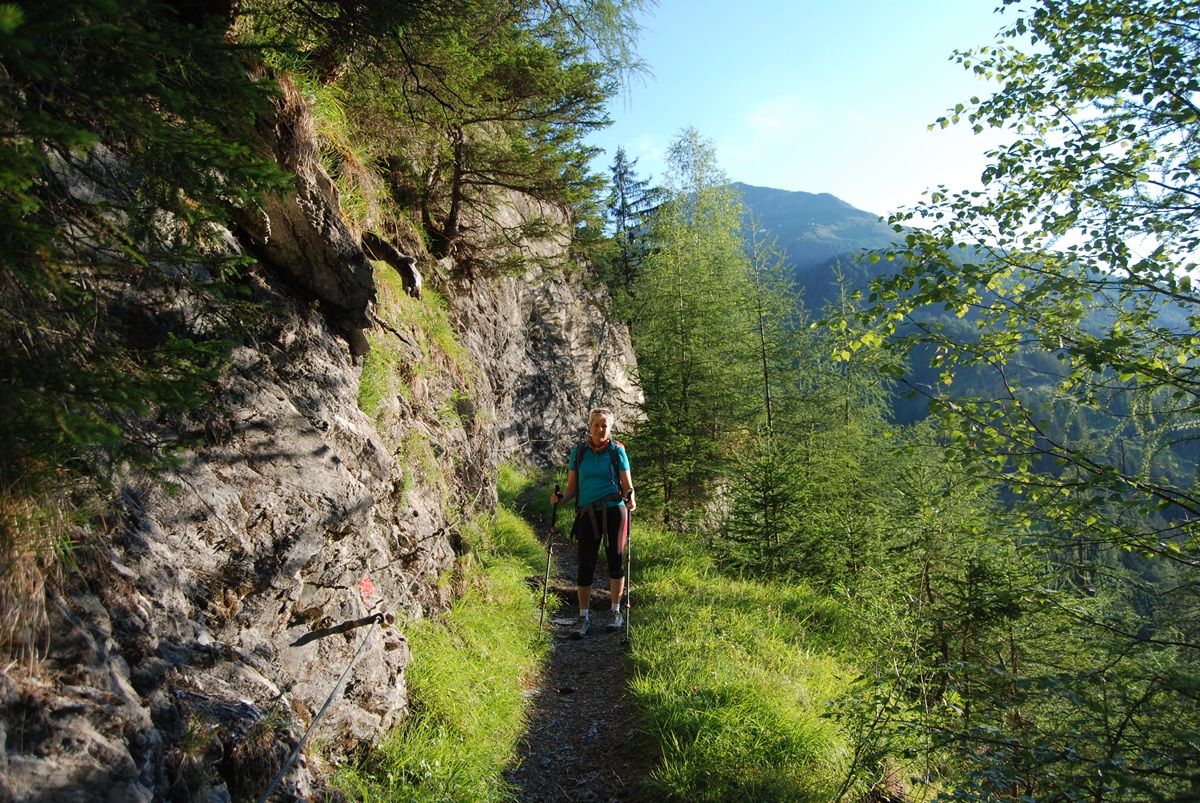
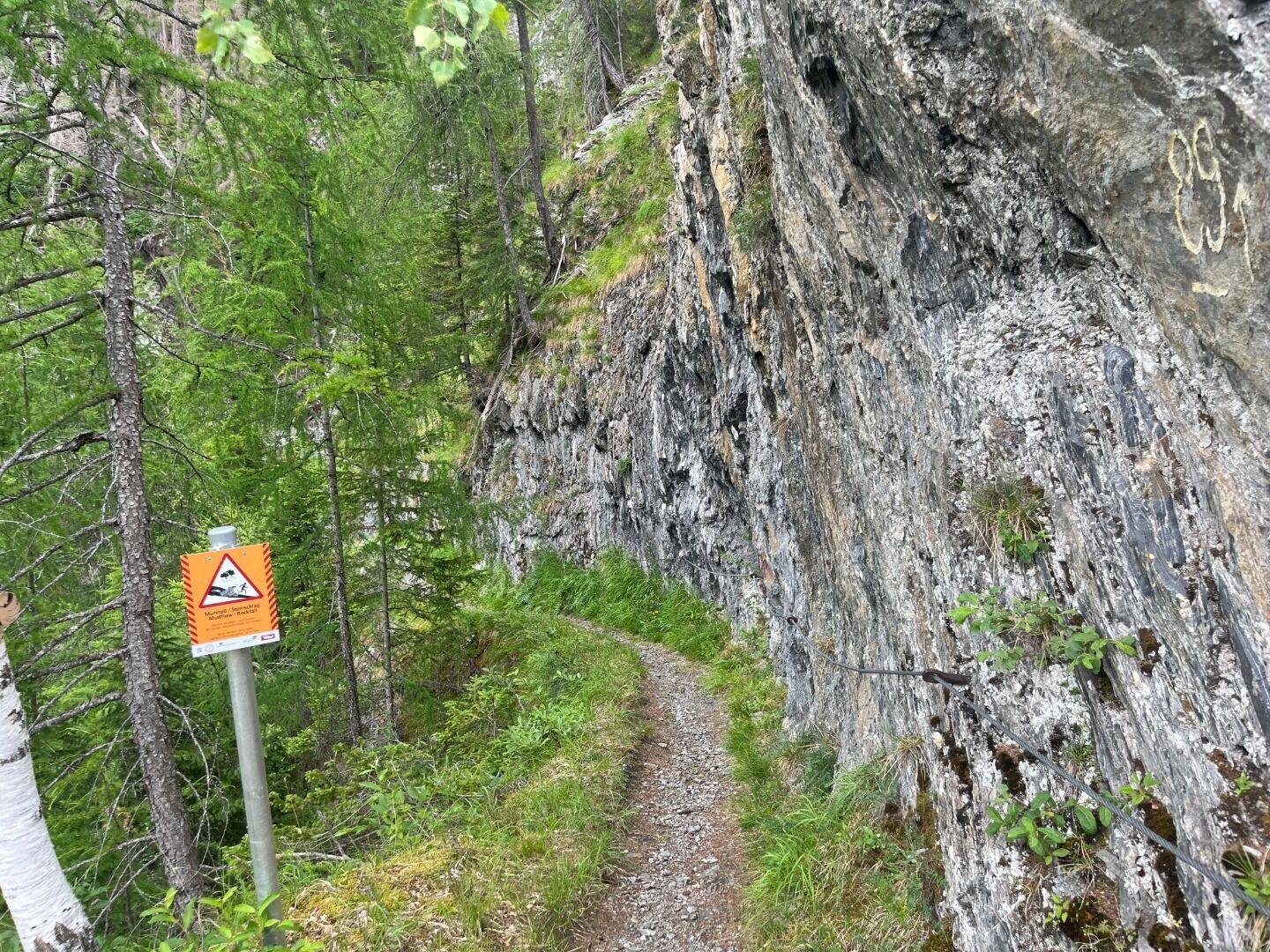
From the tourist information office Prägraten a.G., first walk along the pavement to Wallhorn to the chapel "Allerseelenkapelle" and then continue straight ahead along a field path to Bobojach. After the bridge in front of the "Blaserhof", turn left, take trail no. 31 through a short section of forest and then continue across a steep meadow, again changing into the forest. The ravine that now has to be passed before the "Hohe Bank" is secured with a rope.
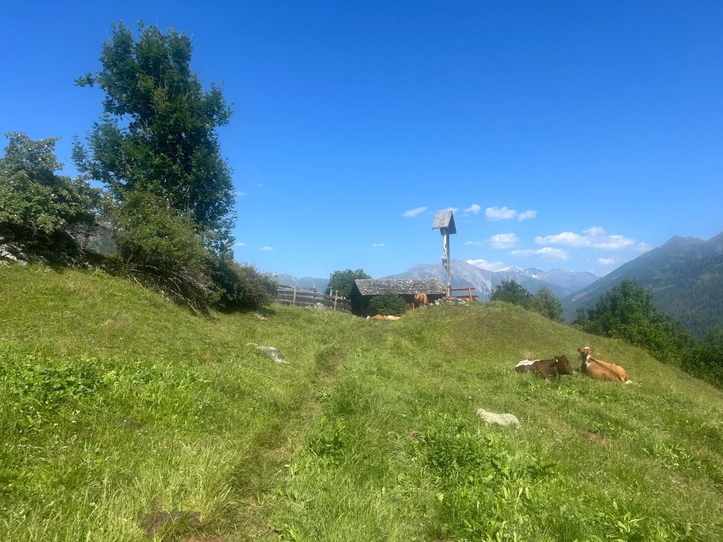
Continue through the forest "Stegachwald" on a path in the pastureland to a cross. Slightly descending on an old hollow path, you reach the "Burgbühel" and then the pilgrimage church "Wallfahrtskirche Maria Schnee! in Obermauern. The so-called "Kreuzweg" leads to the district Göriach and later to the centre of Virgen.
Prägraten a.G. Gemeindeamt
Parking place Prägraten a.G. Gemeindeamt

www.bergpixel.de")


")


")


