
Mountain hikes Walk "Dammrunde"

Matrei in Osttirol / Granatspitze Group
Difficulty ratings: easy
Route length: 12.4 km
Duration: 3:00 h

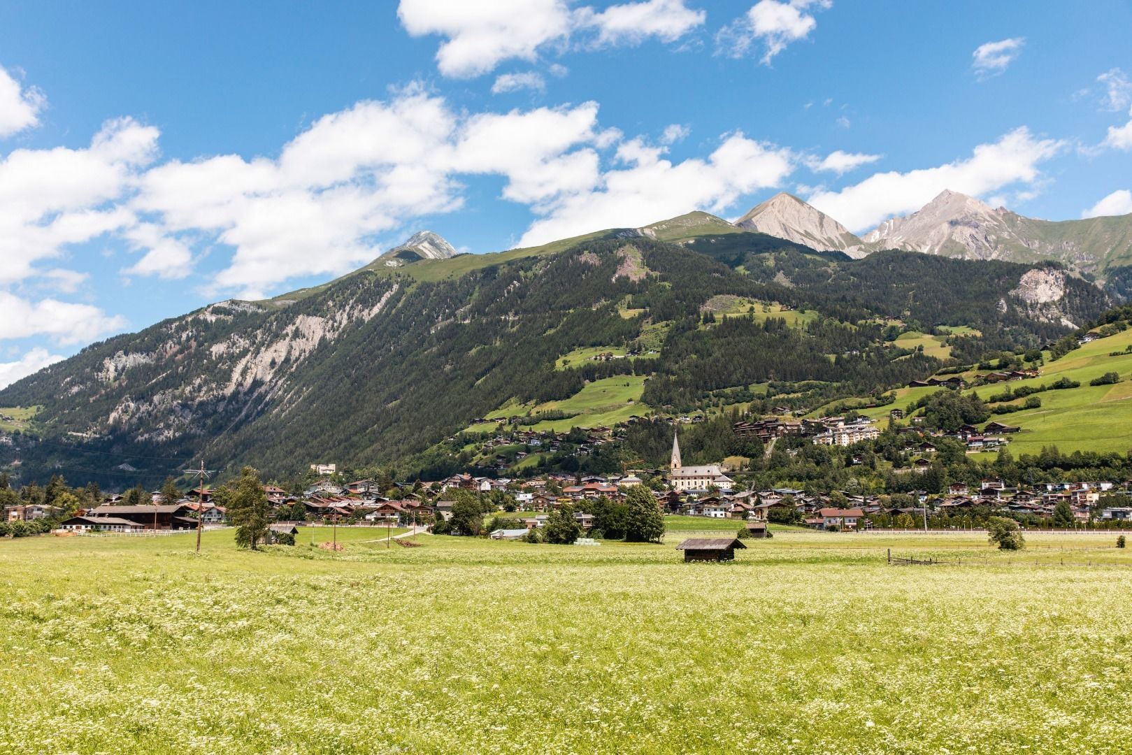
Leisurely walk along the Tauernbach stream and the Isel river
Tour information

  • Requirement: easy
  • Length: 12.4 km
  • Duration: 3:00 h
  • Elevation uphill:45 hm
  • Elevation downhill:45 hm
Highest point970 m

Starting point

Parkplatz Freibad Matrei in Osttirol

Finishing point

Parkplatz Freibad Matrei in Osttirol
  • Fitness level 1 / 6
  • Technique 1 / 6

Features

  • Circular route
  • Suitable for families

Best time of year

  • January
  • February
  • March
  • April
  • May
  • June
  • July
  • August
  • September
  • October
  • November
  • December
Source: TVB Osttirol

Description

From Rauterplatz, the easy hike first leads to the Tauernbach stream. Follow this to Proßegg. 
There you cross the bridge and follow the path on the other bank to the former Matrei i. O. swimming pool. Here you will also find the confluence of the Tauernbach and Isel rivers. After a short stretch to the west, you cross the Isel and follow the riverside path on the other side. Below Matrei, you pass an archery course and a small biotope before crossing the Isel again at the Felbertauern road. The way back leads along the path on the orographic left-hand side back to Rauterplatz.
TIP: Use the narrow path right by the water for even more adventure. On hot summer days, the deciduous trees provide shade.

Weather

Today

partly Cloudy
18°C/8°C
35%0.2l5 km/h

Sat

clear sky
21°C/6°C
0%0l0 km/h

Sun

mainly clear
23°C/7°C
40%1l0 km/h
Go to weather forecast

More tours in the surrounding area

  • Venediger altitude trail

    Difficulty:difficult
    Length:55.5 kmDuration:27:00 hElevation uphill:3,975 m
  • Figerhorn

    Difficulty:difficult
    Length:6.6 kmDuration:6:00 hElevation uphill:811 m
  • Theme path "Virgen crossroads"

    Difficulty:easy
    Length:3.2 kmDuration:1:00 hElevation uphill:104 m
  • Lasörling altitude trail

    Difficulty:medium
    Length:55.4 kmDuration:25:00 hElevation uphill:3,718 m
  • Muhs panorama trail

    Difficulty:medium
    Length:15.2 kmDuration:6:00 hElevation uphill:1,090 m
  • Herz-Ass Villgratental

    Difficulty:medium
    Length:75.6 kmDuration:34:00 hElevation uphill:5,703 m
  • Children's mile Golzentipp

    Difficulty:easy
    Length:3.7 kmDuration:2:00 hElevation uphill:140 m
  • Hike to Kalser Tauernhaus

    Difficulty:medium
    Length:12.2 kmDuration:4:00 hElevation uphill:244 m
  • Iseltrail

    Difficulty:medium
    Length:75.3 kmDuration:24:30 hElevation uphill:2,347 m
  • Trail Virgentaler Sonnseitenweg

    Difficulty:medium
    Length:41.9 kmDuration:19:00 hElevation uphill:2,641 m
  • Badener Hütte

    Difficulty:difficult
    Length:23.2 kmDuration:12:00 hElevation uphill:1,754 m
  • Lucknerhaus - Stüdlhütte

    Difficulty:medium
    Length:9.3 kmDuration:4:30 hElevation uphill:862 m
  • Hike to Neuen Reichenberger Hütte

    Difficulty:medium
    Length:18.2 kmDuration:9:00 hElevation uphill:1,252 m
  • Hiking tour to St. Pöltner Hütte and 3 lakes

    Difficulty:difficult
    Length:14.8 kmDuration:7:40 hElevation uphill:1,119 m
  • Hike to the Venedigerhaus Innergschlöß

    Difficulty:easy
    Length:8.6 kmDuration:2:30 hElevation uphill:184 m
  • Hiking tour to Neue Sajathütte 2.600m

    Difficulty:medium
    Length:10.3 kmDuration:6:50 hElevation uphill:1,086 m
Newsletter

The mountain is calling? So does our newsletter!

In our monthly newsletter we reveal the best holiday tips for Tyrol.
