
Mountain hikes Water experience trail St. Jakob i. D.

St. Jakob im Defereggental / Villgraten Mountains
Difficulty ratings: easy
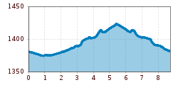
Route length: 8.7 km
Duration: 2:30 h

Tour information

  • Requirement: easy
  • Length: 8.7 km
  • Duration: 2:30 h
  • Elevation uphill:41 hm
  • Elevation downhill:40 hm
Highest point1,428 m
  • Fitness level 1 / 6
  • Technique 1 / 6

Features

  • Suitable for families
  • Wheelchair hike
  • suitable for pushchairs

Best time of year

  • January
  • February
  • March
  • April
  • May
  • June
  • July
  • August
  • September
  • October
  • November
  • December

Equipment

Basic equipmentformountainhikingincludessturdy hiking bootswith a goodtread, a 30-35 literbackpack, and functionalclothingbased on thelayeringprinciple, includingsufficient spare clothes. Essential itemsare rain, cold, and sunprotection, adequatefluids and food, aswellas a first-aid kit and a charged mobile phone. A mapor a GPS devicesupportsorientation. 

The informationservesas a guideline and does not claimtobe exhaustive. Equipment mustalwaysbeadaptedtothe planned route, weatherconditions, season, naturalhazards, environmental influences, and personal needs. 

Source: TVB Osttirol

Description

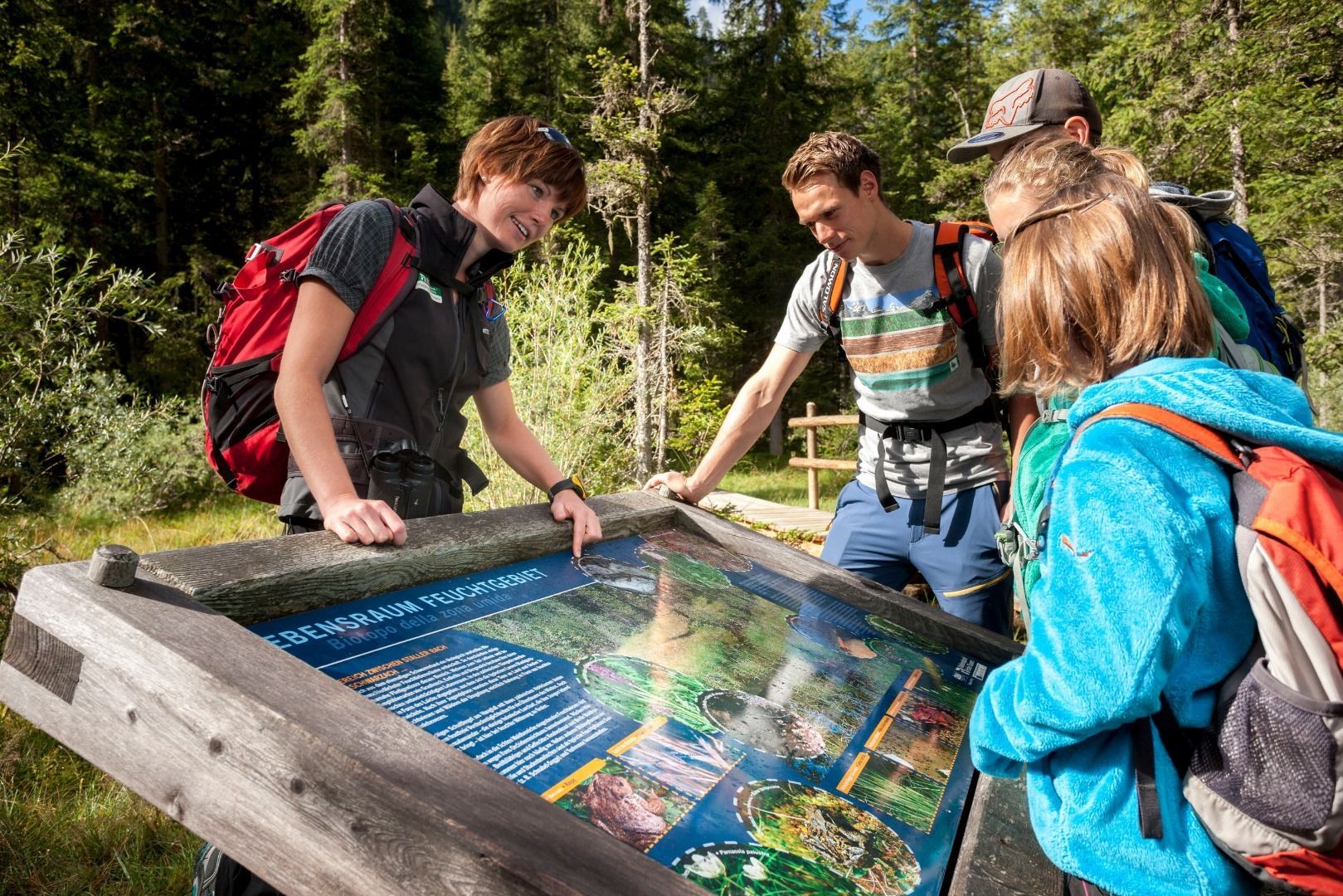
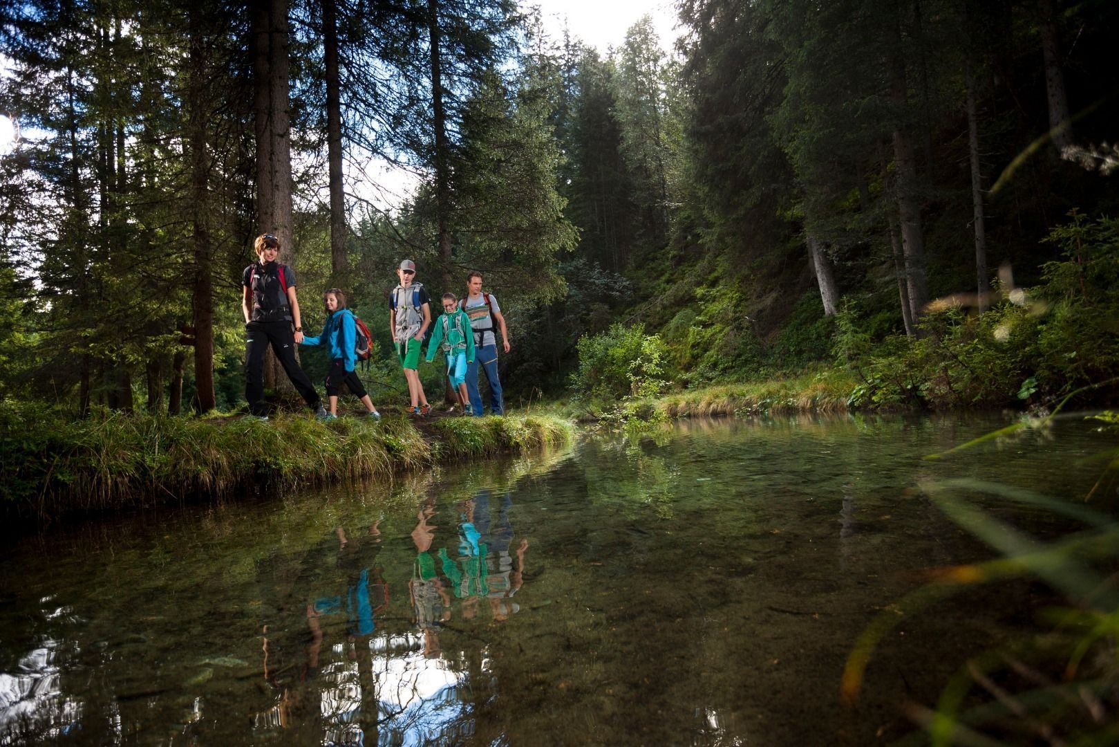
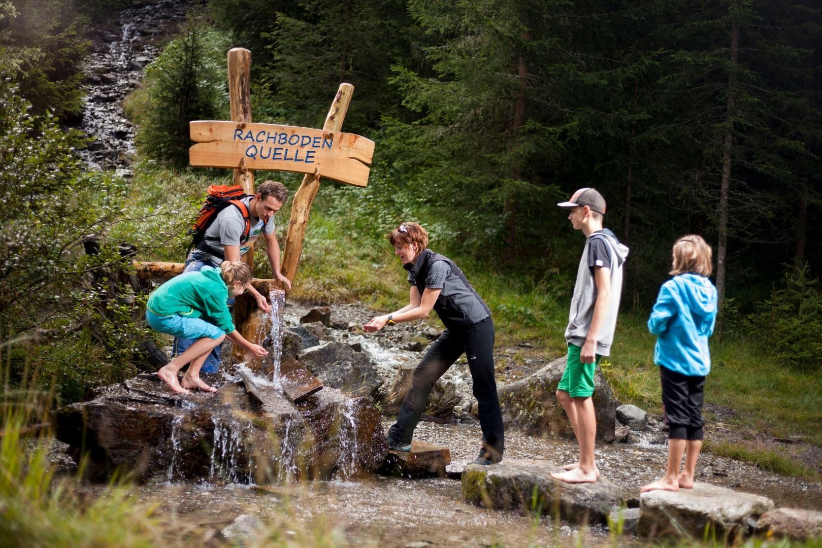
The water experience trail begins at the eastern edge of St. Jakob in Defereggen. It takes you along Schwarzach to the east and after approx. one kilometre past the species-rich ponds and springs and back to the start. Display boards provide information on the species-rich flora and fauna along the trail around Schwarzachach and on natural events such as the floods of 1966.

We especially recommend visiting the filling facility for Deferegger healing water with an expert guided tour about the myths of healing water. Those who still haven’t had enough after the short tour (approx. one hour) can also continue to tackle the water discovery trail to Maria Hilf.

Getting here

  • Arrival by public transport

    Bushaltestelle St. Jakob i. D. Gemeindeamt

  • Parking

    Von St. Jakob in Defereggen
    Im Ortskern von St. Jakob in Defereggen

Weather

Today

cloudy
7°C/-2°C
70%7.2l5 km/h

Sat

snow showers
4°C/-4°C
75%3.5l5 km/h

Sun

light snowfall
5°C/-3°C
55%2.2l5 km/h
Go to weather forecast

More tours in the surrounding area

  • Herz-Ass Villgratental

    Difficulty:medium
    Length:75.6 kmDuration:34:00 hElevation uphill:5,703 m
  • Muhs panorama trail

    Difficulty:medium
    Length:15.2 kmDuration:6:00 hElevation uphill:1,090 m
  • Lasörling altitude trail

    Difficulty:medium
    Length:55.4 kmDuration:25:00 hElevation uphill:3,718 m
  • Venediger altitude trail

    Difficulty:difficult
    Length:55.5 kmDuration:27:00 hElevation uphill:3,975 m
  • Theme path "Virgen crossroads"

    Difficulty:easy
    Length:3.2 kmDuration:1:00 hElevation uphill:104 m
  • Figerhorn

    Difficulty:difficult
    Length:6.6 kmDuration:6:00 hElevation uphill:811 m
  • Böses Weibele

    Difficulty:medium
    Length:13.6 kmDuration:6:30 hElevation uphill:965 m
  • Hike to the Venedigerhaus Innergschlöß

    Difficulty:easy
    Length:8.6 kmDuration:2:30 hElevation uphill:184 m
  • Glödis via ferrata route

    Opening hours:open
    Difficulty:BExposition:SE
    Duration:1:00 hDuration:4:00 hElevation difference:230 m
  • Böses Weibl

    Difficulty:difficult
    Length:14.1 kmDuration:8:00 hElevation uphill:1,193 m
  • Children's mile Golzentipp

    Difficulty:easy
    Length:3.7 kmDuration:2:00 hElevation uphill:140 m
  • Lasörling 3.098m

    Difficulty:difficult
    Length:22.0 kmDuration:12:00 hElevation uphill:1,940 m
  • Circular walk church St. Nikolaus

    Difficulty:easy
    Length:5.4 kmDuration:1:39 hElevation uphill:150 m
  • Badener Hütte

    Difficulty:difficult
    Length:23.2 kmDuration:12:00 hElevation uphill:1,754 m
  • Hiking tour to St. Pöltner Hütte and 3 lakes

    Difficulty:difficult
    Length:14.8 kmDuration:7:40 hElevation uphill:1,119 m
  • Trail Virgentaler Sonnseitenweg

    Difficulty:medium
    Length:41.9 kmDuration:1 dayElevation uphill:2,641 m
  • Lucknerhaus - Stüdlhütte

    Difficulty:medium
    Length:9.3 kmDuration:4:30 hElevation uphill:862 m
Newsletter

The mountain is calling? So does our newsletter!

In our monthly newsletter we reveal the best holiday tips for Tyrol.
