
Öffnungszeiten:Heute geöffnet
Ort:Matrei in Osttirol
:Alpine pasture / hut / mountain restaurant
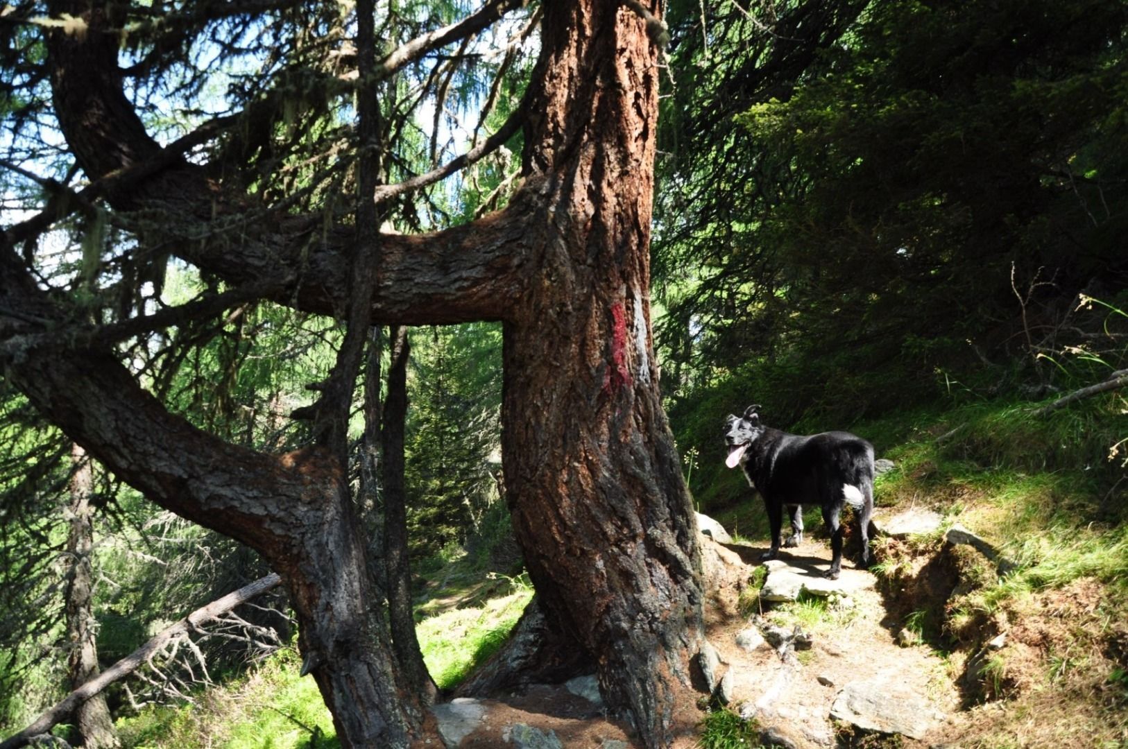
Bärensteig
Start at the parking place Eden-Happeck and follow the Goldriedriese to the hut Berggasthaus Goldried. Here you will still find living alpine farming. Tyrolean grey cattle, Tauern goats and species-rich mountain meadows invite you to marvel and relax.
The hike continues along the wide trail Europa Panoramaweg to the hut Kals Matreier Törl. The summit world of the Nationalpark Hohe Tauern with over 66 three-thousand-metre peaks accompanies you at every turn.
Via the so-called trail Bärensteig you return to the hiking trail Goldriedriese in the cool shade of the forest. The Bärensteig owes its name to an event in 1971, when the last brown bear living in the wild in Austria was killed here on the Klaunzerberg. On the way back, the huts Roatz Bod'n Hitte, Kuenzer Alm and Jagatee Stub'n invite you to a cosy stop.
The circular walk is of course also walkabel in the opposite direction.
Matrei i. O. Korberplatz
Parking place Eden-Happeck


www.bergpixel.de")


")


")


