
Opening hours:Open today
Place:Kals am Großglockner
:Restaurant, Fine-dining restaurant
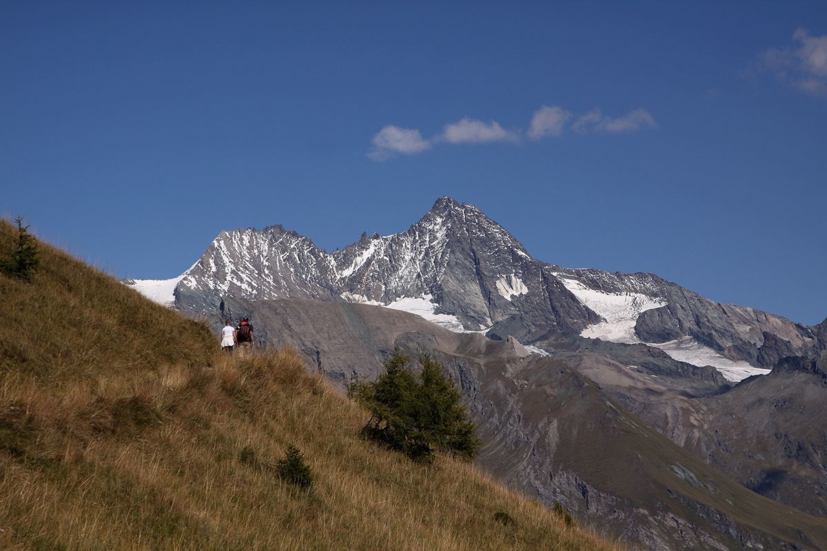
Burg - Greiwiesen - Lucknerhaus

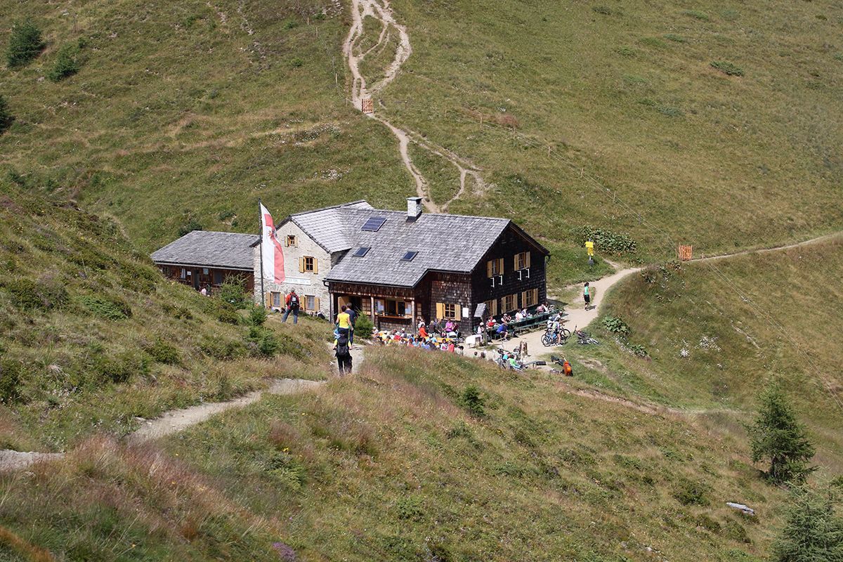
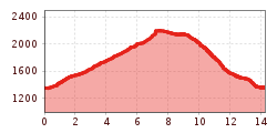
Without particular efforts, the path leads from Kals / Grossdorf to the Temblerhof and across the road to the mountain station of the Tembler tow lift, branching off to the left there via a convenient forest path to the halfway station of the gondola lift and to the Gliber- / Schusteralm (1960 metres, not managed).
From here on, a hiking trail continues, which - across a few serpentines - joins the AV Weg 502B and leads up to Kals-Matreier-Toerl. From Kals-Matreier-Toerl via the Europa-Panoramaweg in approx. 1 - 1.5 hours to the mountain restaurant "Glocknerblick". From mountain restaurant "Glocknerblick" back to Grossdorf in about 2 hours.


.jpg")


.jpg")


")


")


