Hut hike Hike Regenstein 2.891m

Hopfgarten im Defereggental / Villgraten Mountains
Difficulty ratings: difficult
Route length: 9.6 km
Duration: 12:00 h

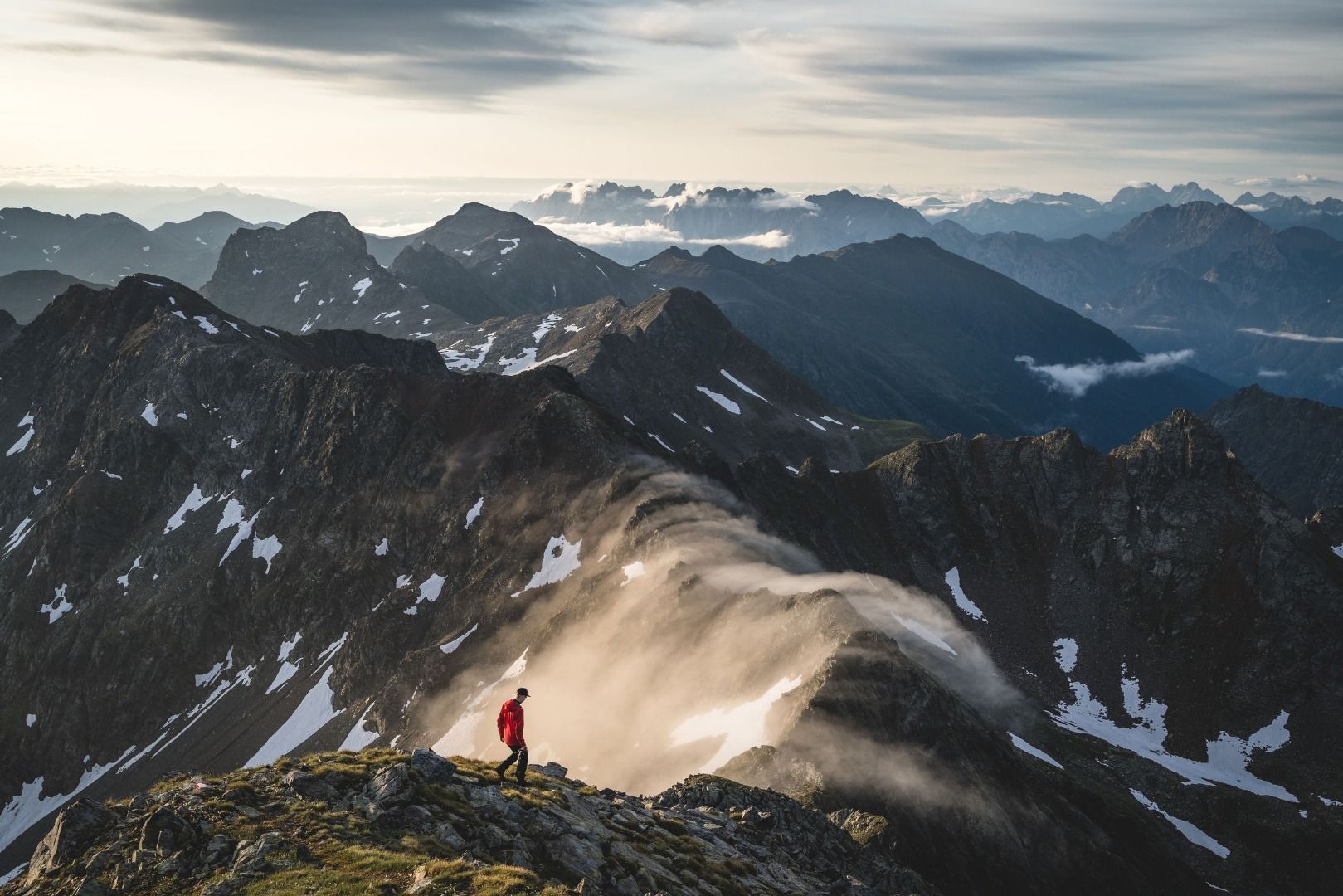
Experience unforgettable moments at the summit.
Tour information

  • Requirement: difficult
  • Length: 9.6 km
  • Duration: 12:00 h
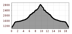
  • Elevation uphill:1,772 hm
  • Elevation downhill:1,772 hm
Highest point2,891 m

Starting point

Car park Blosbrücke 1.100m

Finishing point

Car park Blosbrücke 1.100m
  • Fitness level 6 / 6
  • Technique 4 / 6

Best time of year

  • January
  • February
  • March
  • April
  • May
  • June
  • July
  • August
  • September
  • October
  • November
  • December
Source: TVB Osttirol

Description

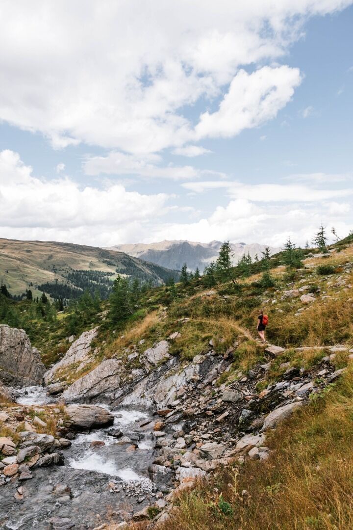
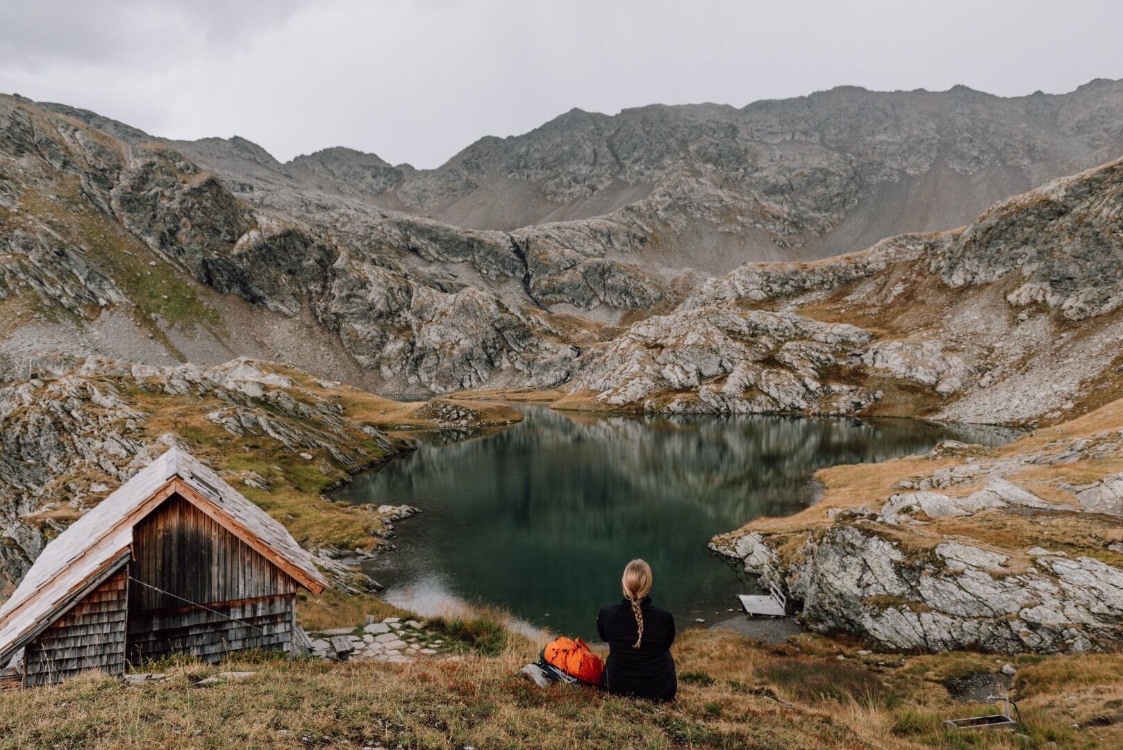
From Blosbrücke (Hopfgarten i. D.) follow the trail, in a few hairpin bends, into Zwenewaldtal. From here you get a lovely view to the Glockner massif. The road proceeds south, almost flat, in this lovely altitude valley, past Zwenewaldalm up to Bloshütte. From the Bloshütte the road leads into the valley via the Fenstersteig (No. 58) to the Geigensee lake and from there to the Regenstein (2,891m). Walking time from Bloshütte to Regenstein ca. 4 hours

Nearby huts and mountain restaurants

More tours in the surrounding area

  • Rollitour with Swiss Trac

    Difficulty:easy
    Length:3.2 kmDuration:1:30 hElevation uphill:135 m
  • Children's mile Golzentipp

    Difficulty:easy
    Length:3.7 kmDuration:2:00 hElevation uphill:140 m
  • Hike to Kalser Tauernhaus

    Difficulty:medium
    Length:12.2 kmDuration:4:00 hElevation uphill:244 m
  • Hiking tour to Neue Sajathütte 2.600m

    Difficulty:medium
    Length:10.3 kmDuration:6:50 hElevation uphill:1,086 m
  • Hiking tour to Zupalsee Hütte 2.350m

    Difficulty:medium
    Length:14.9 kmDuration:8:30 hElevation uphill:1,261 m
  • Badener Hütte

    Difficulty:difficult
    Length:23.2 kmDuration:12:00 hElevation uphill:1,754 m
  • Lucknerhaus - Stüdlhütte

    Difficulty:medium
    Length:9.3 kmDuration:4:30 hElevation uphill:862 m
  • Hike to Neuen Reichenberger Hütte

    Difficulty:medium
    Length:18.2 kmDuration:9:00 hElevation uphill:1,252 m
  • Hiking tour to Lasörlinghütte 2.350m

    Difficulty:medium
    Length:14.6 kmDuration:7:50 hElevation uphill:1,135 m
  • Hiking tour to St. Pöltner Hütte and 3 lakes

    Difficulty:difficult
    Length:14.8 kmDuration:7:40 hElevation uphill:1,119 m
  • Hike to the Venedigerhaus Innergschlöß

    Difficulty:easy
    Length:8.6 kmDuration:2:30 hElevation uphill:184 m
  • Circular walk church St. Nikolaus

    Difficulty:easy
    Length:5.4 kmDuration:1:39 hElevation uphill:150 m
  • Lasörling 3.098m

    Difficulty:difficult
    Length:22.0 kmDuration:12:00 hElevation uphill:1,940 m
  • Lake Schwarzsee

    Difficulty:medium
    Length:7.8 kmDuration:3:30 hElevation uphill:790 m
Newsletter

The mountain is calling? So does our newsletter!

In our monthly newsletter we reveal the best holiday tips for Tyrol.