
Opening hours:Open today
Place:Prägraten a.G.
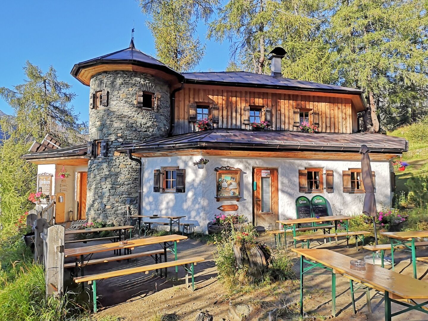
:Alpine pasture / hut / mountain restaurant
Leisurely hike for families
Forest track, gravel
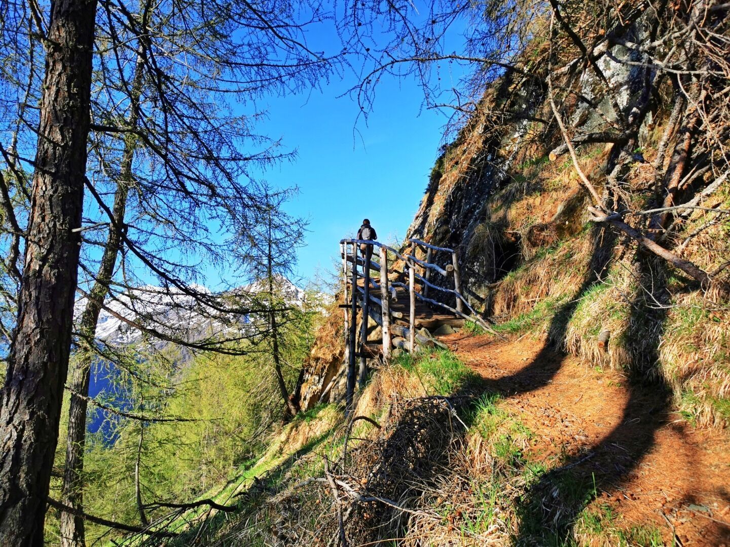
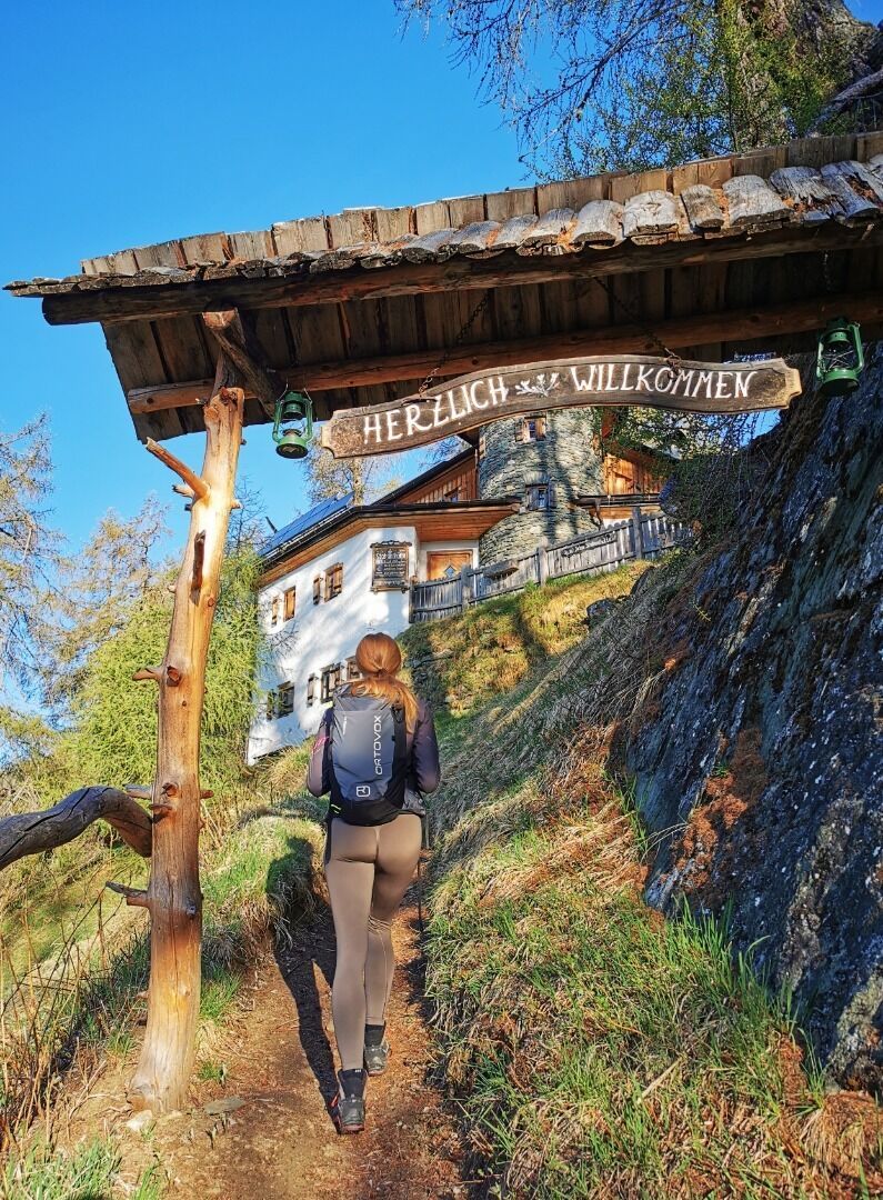
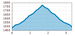
The hiking tour to the hut Stabanthütte starts at the parking place Sajat-/Stabanthütte.
The ascent is suitable for both experienced hikers and more leisurely walkers. On the one hand, the wide road can be used and on the other, the narrow paths through the larch forest.
Bus stop Prägraten a.G. Gemeindeamt
Parking place Sajat-/Stabanthütte


.jpg")


")
.jpg")

.jpg")


