Mountain hikes Schleinitz

Nußdorf-Debant / Schober Group
Difficulty ratings: difficult
Route length: 9.1 km
Duration: 3:30 h

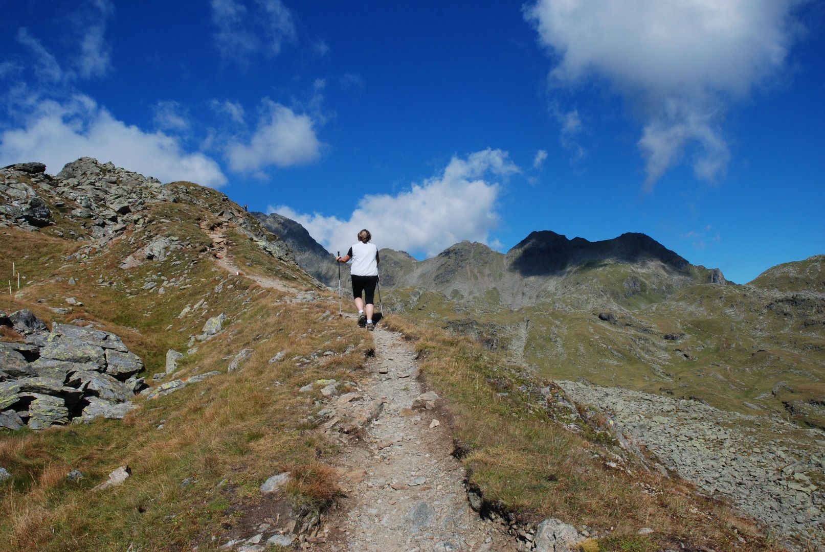
The Schleinitz is a summit tour to an impressive mountain peak which is very much recommended and is scenically charming throughout . Thanks to the Zettersfeld lift facilities it is conveniently accessible to the north of Lienz for a day tour.

Tour information

  • Requirement: difficult
  • Length: 9.1 km
  • Duration: 3:30 h
  • Elevation uphill:750 hm
  • Elevation downhill:740 hm
Highest point2,890 m

Starting point

Mountain rescue hut Steinermandl Sessellift

Finishing point

Schleinitz
  • Fitness level 5 / 6
  • Technique 5 / 6

Best time of year

  • January
  • February
  • March
  • April
  • May
  • June
  • July
  • August
  • September
  • October
  • November
  • December

Equipment

Basic equipmentformountainhikingincludessturdy hiking bootswith a goodtread, a 30-35 literbackpack, and functionalclothingbased on thelayeringprinciple, includingsufficient spare clothes. Essential itemsare rain, cold, and sunprotection, adequatefluids and food, aswellas a first-aid kit and a charged mobile phone. A mapor a GPS devicesupportsorientation. 

The informationservesas a guideline and does not claimtobe exhaustive. Equipment mustalwaysbeadaptedtothe planned route, weatherconditions, season, naturalhazards, environmental influences, and personal needs. 


Source: TVB Osttirol

Description

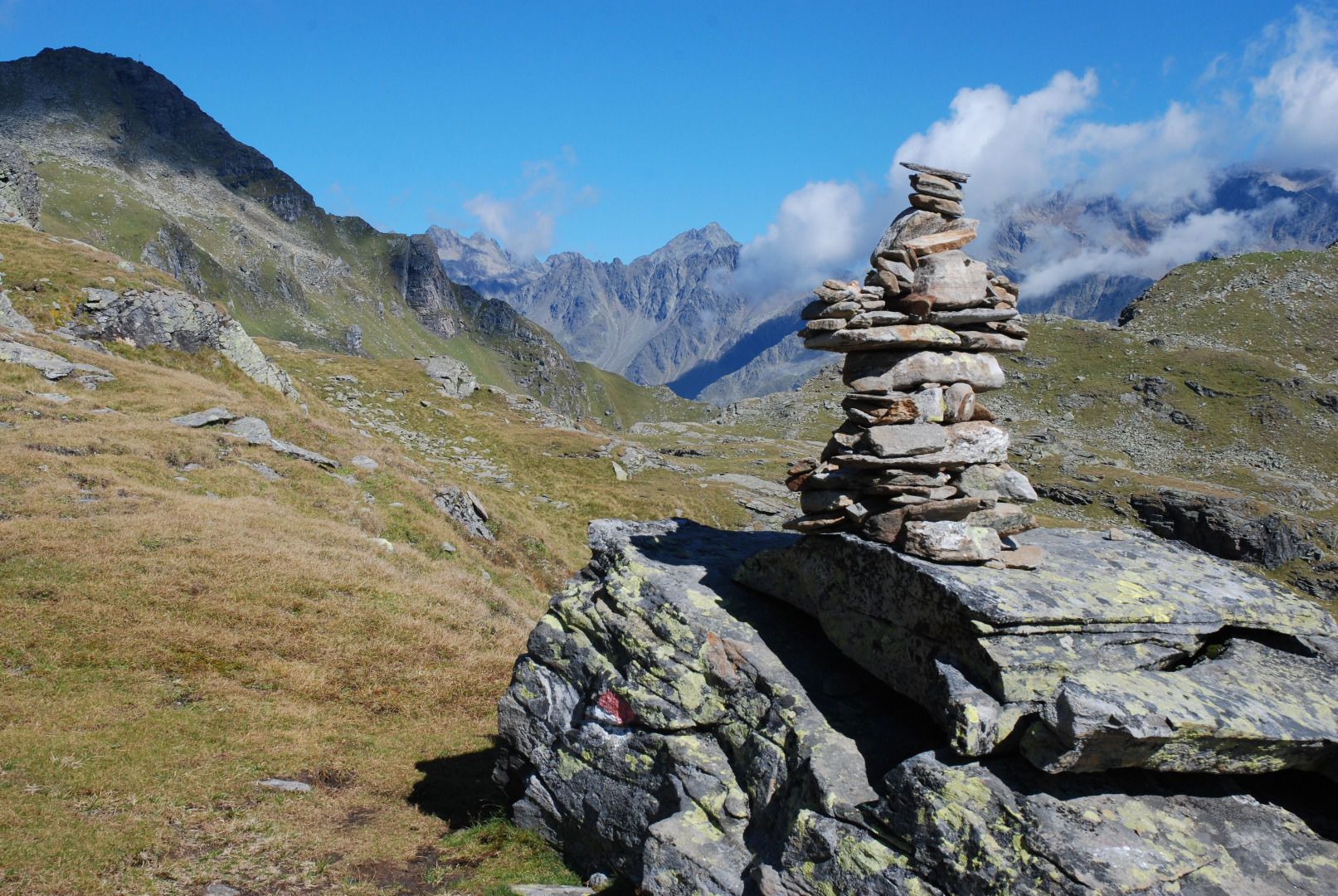
Starting point is the car park near the valley station for Zettersfeld cable car. From there take the gondola to the Zettersfeld 1812 m then take the 4-seater chair lift to the Steinermandl 2213 m. Continue on the well signposted ‘AV’ hiking trail, no. 913 north, south-west of the Goiselemandl via Neualplschneid to the southern banks of Neualplseen. At the information boards on the southern banks proceed along a moraine and get to the area to the west of the Seenplatte. After a few rocky sections proceed via rough, boulder terrain crossing here and there, continuing up to the southern edge of the summit ridge, before you finally reach the cross which has long been in your line of sight. After a few metres altitude you are then at the actual summit at 2905 m.

Nearby huts and mountain restaurants

Getting here

  • Arrival by public transport

    Mit dem Bus bis zur Bushaltestelle "Gaimberg Zettersfeldbahn" und dann mit der Gondel + mit dem Sessellift hinauf fahren.

  • Parking

    Mit dem Auto über die Zettersfeldstraße hinauf bis zum Parkplatz von der Zettersfeldbahn.
    Parkplatz Talstation Zettersfeldbahn

Weather

Today

partly Cloudy
10°C/4°C
40%0.6l0 km/h

Thu

moderate rain
8°C/4°C
85%20.4l0 km/h

Fri

moderate rain
9°C/0°C
85%7l5 km/h
Go to weather forecast

More tours in the surrounding area

  • Theme path "Virgen crossroads"

    Difficulty:easy
    Length:3.2 kmDuration:1:00 hElevation uphill:104 m
  • Böses Weibele

    Difficulty:medium
    Length:13.6 kmDuration:6:30 hElevation uphill:965 m
  • Badener Hütte

    Difficulty:difficult
    Length:23.2 kmDuration:12:00 hElevation uphill:1,754 m
  • Lucknerhaus - Stüdlhütte

    Difficulty:medium
    Length:9.3 kmDuration:4:30 hElevation uphill:862 m
  • Böses Weibl

    Difficulty:difficult
    Length:14.1 kmDuration:8:00 hElevation uphill:1,193 m
  • Hike to Neuen Reichenberger Hütte

    Difficulty:medium
    Length:18.2 kmDuration:9:00 hElevation uphill:1,252 m
  • Hiking tour to Lasörlinghütte 2.350m

    Difficulty:medium
    Length:14.6 kmDuration:7:50 hElevation uphill:1,135 m
  • Hiking tour to Neue Sajathütte 2.600m

    Difficulty:medium
    Length:10.3 kmDuration:6:50 hElevation uphill:1,086 m
  • Hike to Kalser Tauernhaus

    Difficulty:medium
    Length:12.2 kmDuration:4:00 hElevation uphill:244 m
  • Hike to the Venedigerhaus Innergschlöß

    Difficulty:easy
    Length:8.6 kmDuration:2:30 hElevation uphill:184 m
  • Glödis via ferrata route

    Opening hours:closed
    Difficulty:BExposition:SE
    Duration:1:00 hDuration:4:00 hElevation difference:230 m
  • Herz-Ass Villgratental

    Difficulty:medium
    Length:75.6 kmDuration:34:00 hElevation uphill:5,703 m
  • Muhs panorama trail

    Difficulty:medium
    Length:15.2 kmDuration:6:00 hElevation uphill:1,090 m
  • Lake Schwarzsee

    Difficulty:medium
    Length:7.8 kmDuration:3:30 hElevation uphill:790 m
  • Rotenkogel

    Difficulty:difficult
    Length:3.9 kmDuration:3:00 hElevation uphill:383 m
  • Rote Spitze 2,956 m

    Difficulty:medium
    Length:10.2 kmDuration:5:30 hElevation uphill:1,260 m
  • Dorfberg

    Difficulty:medium
    Length:17.6 kmDuration:5:30 hElevation uphill:770 m
Newsletter

The mountain is calling? So does our newsletter!

In our monthly newsletter we reveal the best holiday tips for Tyrol.