Mountain hikes Water hiking trail Hopfgarten i. D.
Hopfgarten im Defereggental / Villgraten Mountains
Difficulty ratings: easy
Route length: 3.9 km
Duration: 1:00 h

Water hiking trail Hopfgarten i. D.
Tour information

  • Requirement: easy
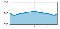
  • Length: 3.9 km
  • Duration: 1:00 h
  • Elevation uphill:20 hm
  • Elevation downhill:0 hm
Highest point1,124 m

Starting point

Dorfbrunnen in Hopfgarten

Finishing point

Dorfbrunnen in Hopfgarten
  • Fitness level 1 / 6
  • Technique 1 / 6

Features

  • Suitable for families
  • suitable for pushchairs

Best time of year

  • January
  • February
  • March
  • April
  • May
  • June
  • July
  • August
  • September
  • October
  • November
  • December
Source: TVB Osttirol

Description

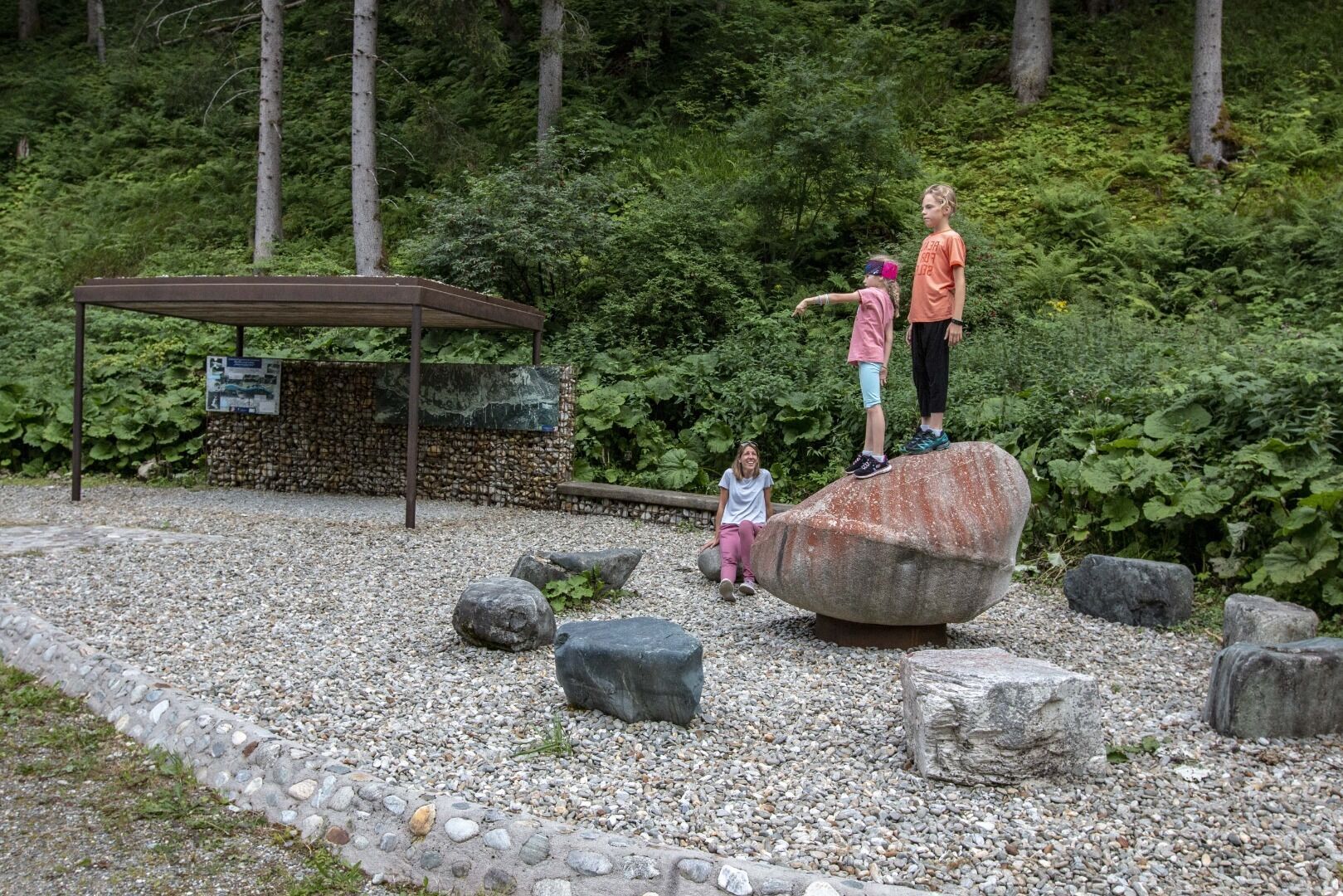
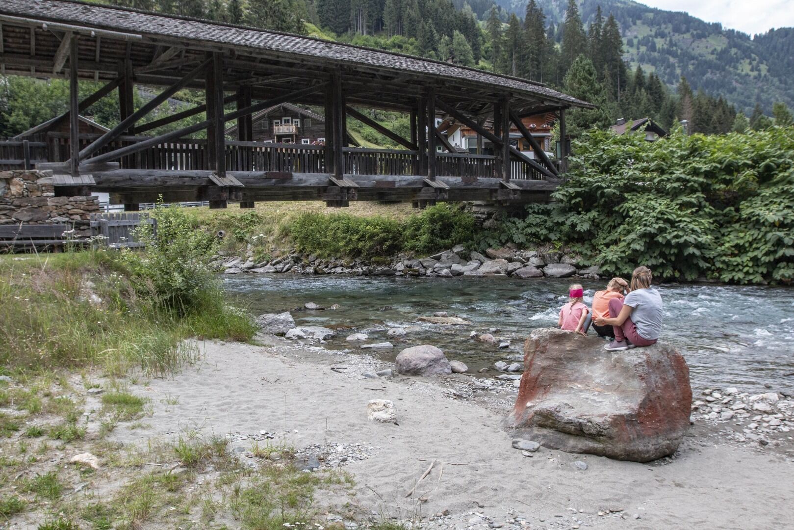
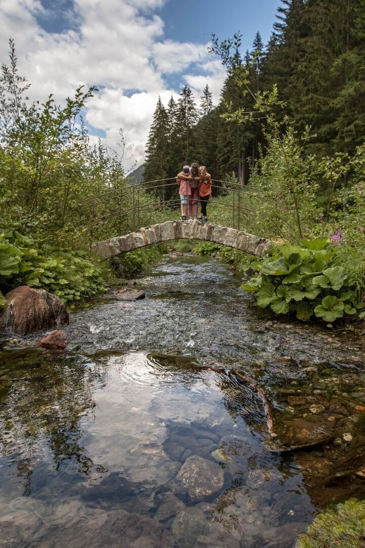
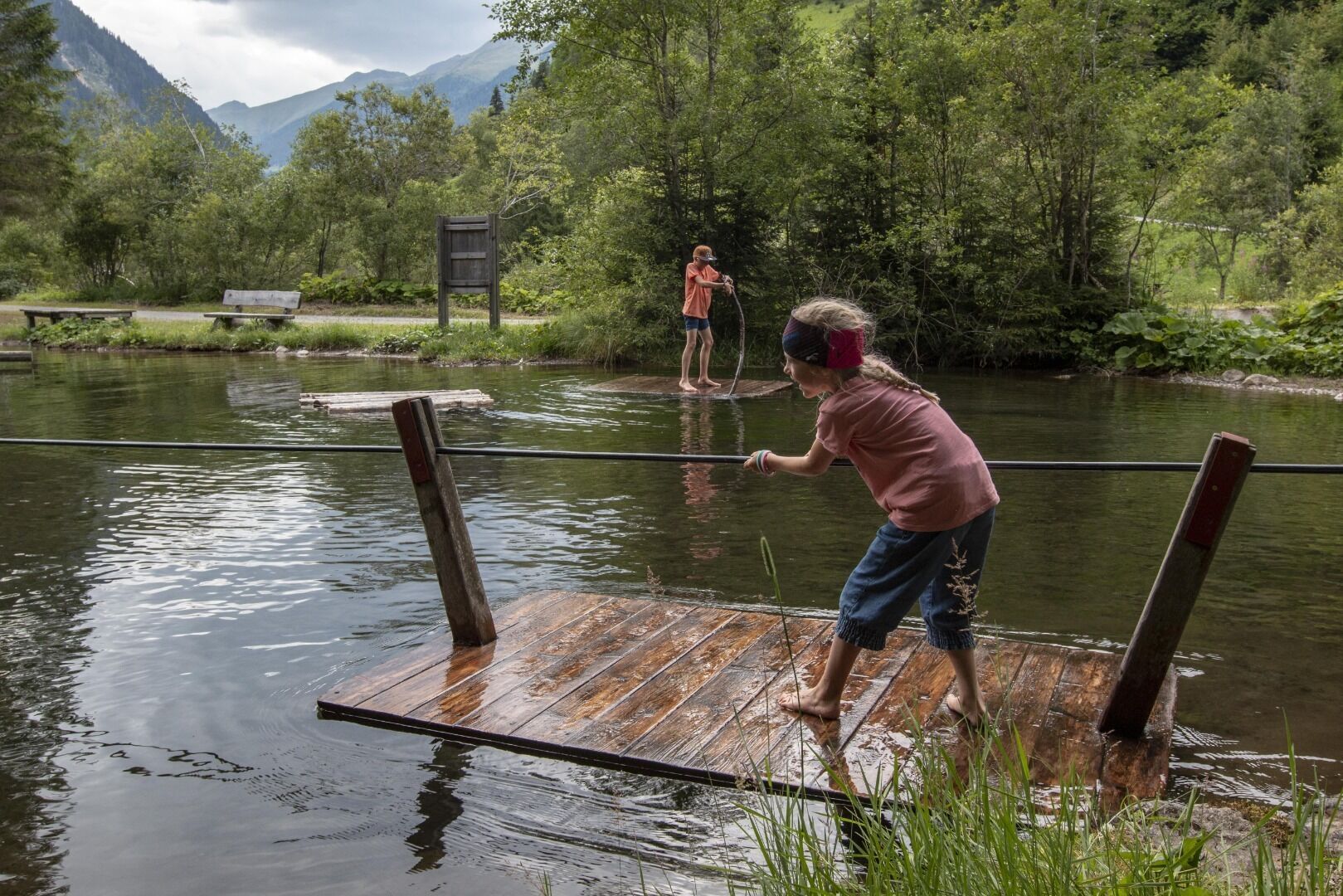
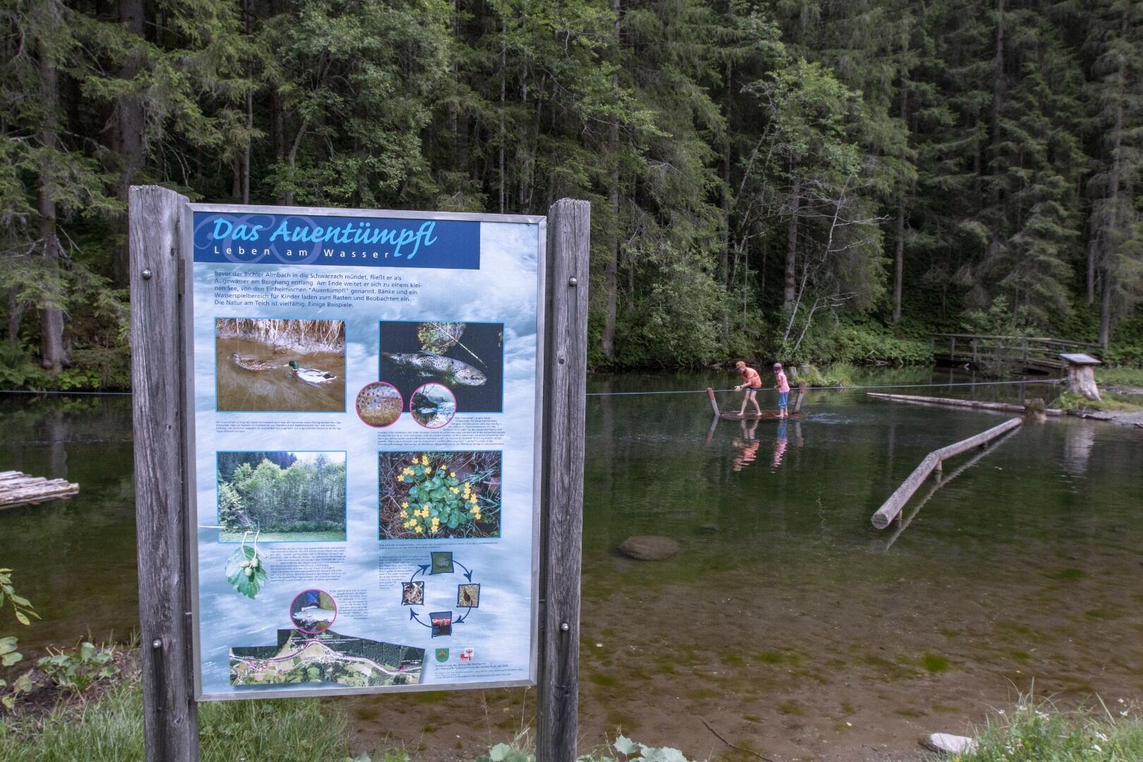
The Water hiking trail Hopfgarten i. D. exits at the fountain at the Kulturhaus and proceeds along the Schwarzach, past the old Böckin Mill and heritage-protected Blosbrücke, into the valley heading to Schmitt’n Kirchl. Information boards recount the significance of the water, the way water has been used to power the mills since time immemorial, and also about the dangers of the water. Benches and rest stations invite you to take a break for a while. The "Auen Tümpfl" pond area, a biotope which has plenty of fish, where there is a play area for children, has been particularly nicely designed.
Getting here

  • Arrival by public transport

    Bushaltestelle Hopfgarten in Defereggen Dorf

  • Parking

    Parplatz in Hopfgarten Dorf

More tours in the surrounding area

  • Venediger altitude trail

    Difficulty:difficult
    Length:55.5 kmDuration:27:00 hElevation uphill:3,975 m
  • Figerhorn

    Difficulty:difficult
    Length:6.6 kmDuration:6:00 hElevation uphill:811 m
  • Theme path "Virgen crossroads"

    Difficulty:easy
    Length:3.2 kmDuration:1:00 hElevation uphill:104 m
  • Lasörling altitude trail

    Difficulty:medium
    Length:55.4 kmDuration:25:00 hElevation uphill:3,718 m
  • Muhs panorama trail

    Difficulty:medium
    Length:15.2 kmDuration:6:00 hElevation uphill:1,090 m
  • Herz-Ass Villgratental

    Difficulty:medium
    Length:75.6 kmDuration:34:00 hElevation uphill:5,703 m
  • Hike to the Venedigerhaus Innergschlöß

    Difficulty:easy
    Length:8.6 kmDuration:2:30 hElevation uphill:184 m
  • Children's mile Golzentipp

    Difficulty:easy
    Length:3.7 kmDuration:2:00 hElevation uphill:140 m
  • Iseltrail

    Difficulty:medium
    Length:75.3 kmDuration:24:30 hElevation uphill:2,347 m
  • Trail Virgentaler Sonnseitenweg

    Difficulty:medium
    Length:41.9 kmDuration:19:00 hElevation uphill:2,641 m
  • Badener Hütte

    Difficulty:difficult
    Length:23.2 kmDuration:12:00 hElevation uphill:1,754 m
  • Lucknerhaus - Stüdlhütte

    Difficulty:medium
    Length:9.3 kmDuration:4:30 hElevation uphill:862 m
  • Hiking tour to St. Pöltner Hütte and 3 lakes

    Difficulty:difficult
    Length:14.8 kmDuration:7:40 hElevation uphill:1,119 m
  • Hike to Kalser Tauernhaus

    Difficulty:medium
    Length:12.2 kmDuration:4:00 hElevation uphill:244 m
  • Hiking tour to Neue Sajathütte 2.600m

    Difficulty:medium
    Length:10.3 kmDuration:6:50 hElevation uphill:1,086 m
  • Hiking tour to Zupalsee Hütte 2.350m

    Difficulty:medium
    Length:14.9 kmDuration:8:30 hElevation uphill:1,261 m
Newsletter

The mountain is calling? So does our newsletter!

In our monthly newsletter we reveal the best holiday tips for Tyrol.