Long-distance hike Adlerweg trail. Stage 5: Badener Hütte – Matreier Tauernhaus

Matrei in Osttirol / Venedigergruppe
Difficulty ratings: medium
Route length: 14.0 km
Duration: 5:30 h

Adlerweg trail. Stage 5: Badener Hütte – Matreier Tauernhaus

Tour information

  • Requirement: medium
  • Length: 14.0 km
  • Duration: 5:30 h
  • Elevation uphill:290 hm
  • Elevation downhill:1,390 hm
Highest point2,760 m

Starting point

Badener Hütte

Finishing point

Matreier Tauernhaus
  • Fitness level 4 / 6
  • Technique 4 / 6

Best time of year

  • January
  • February
  • March
  • April
  • May
  • June
  • July
  • August
  • September
  • October
  • November
  • December
Source: TVB Osttirol

Description

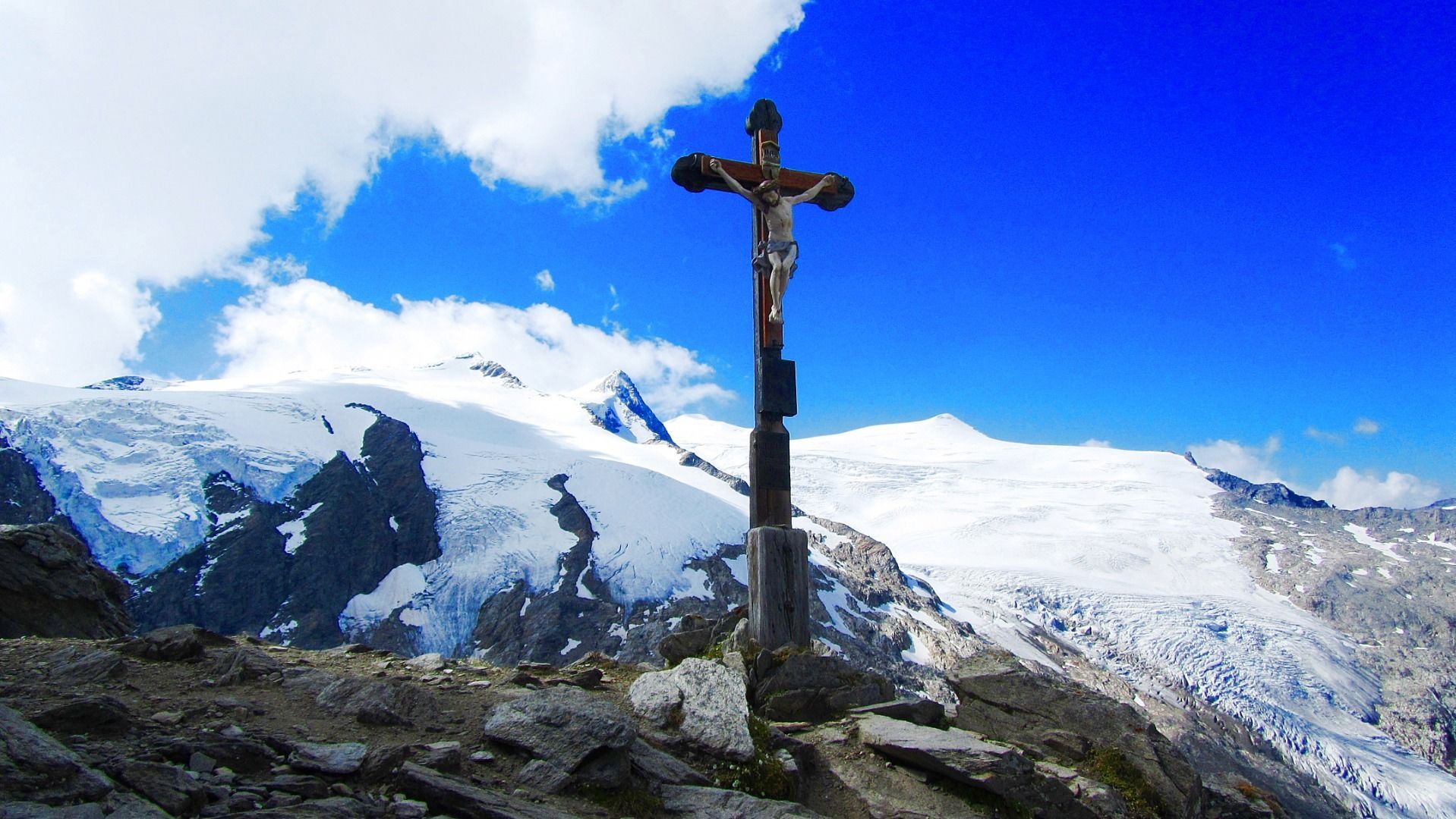
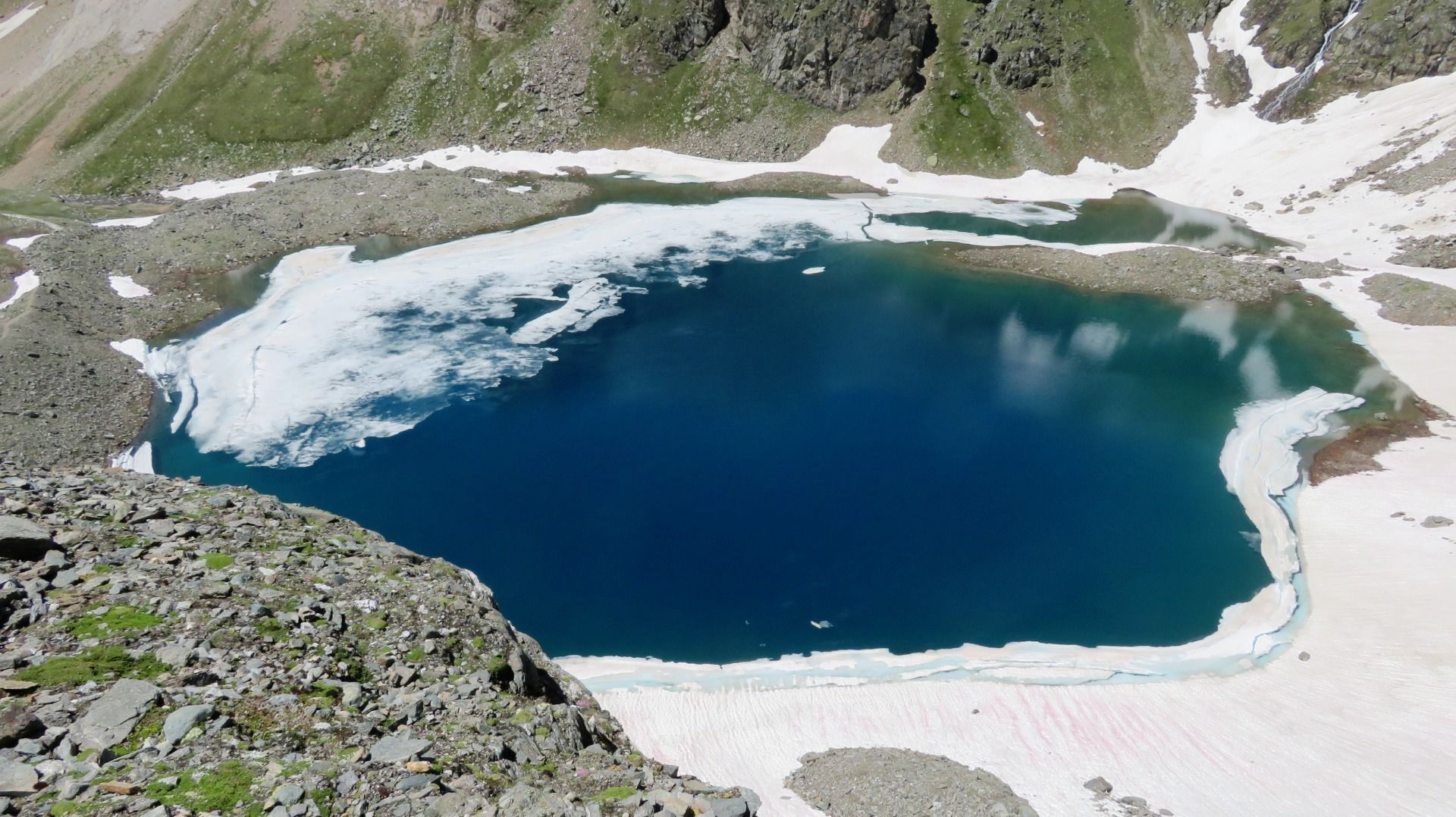
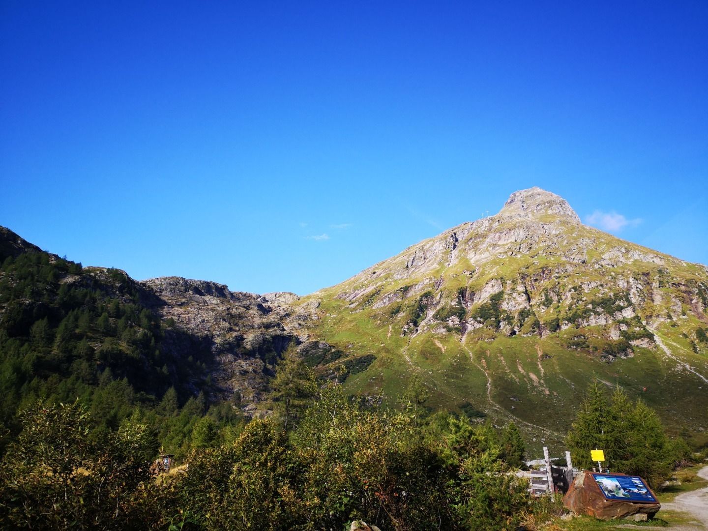
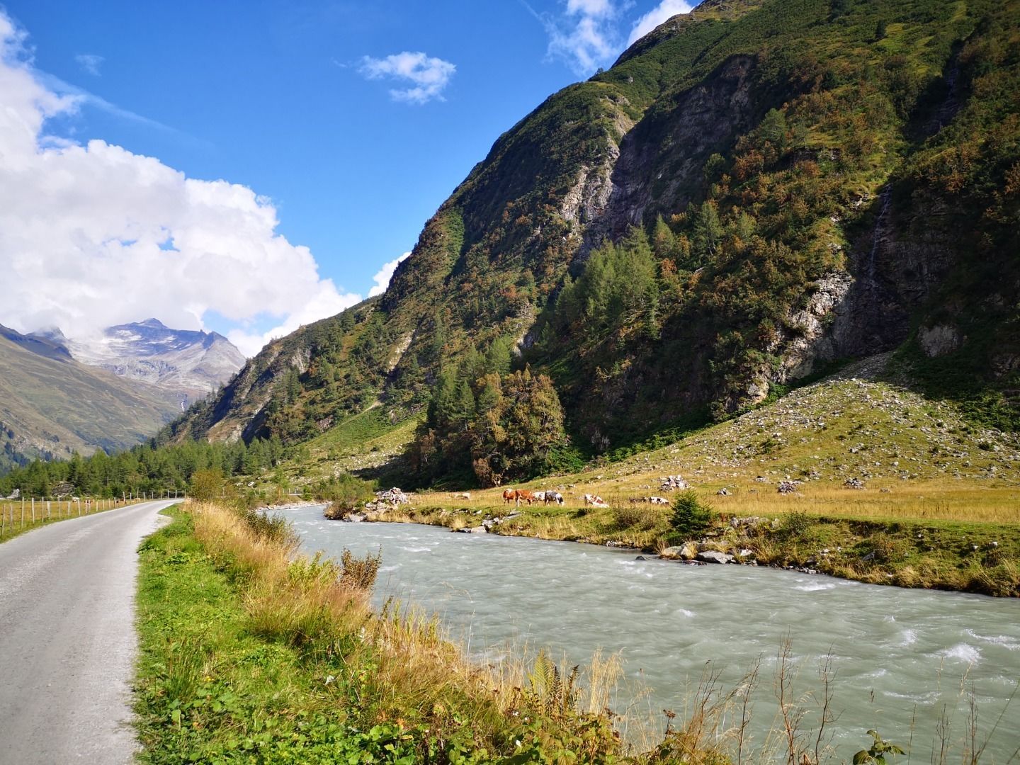
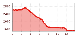
From Badener Hütte (2608 metres, you hike initially via the Venediger altitude trail and the Adlerweg trail (which is also the Badener Weg here) heading north for around an hour up to the Löbbentörl (2770 metres). A few rock-strewn gullies and little gorges are secured with ropes. Across a short slope you ascend again to the Löbbentörl, where, protected by rocks, there is a cross and a commemorative plaque. From now on the route proceeds steeply uphill. The descent on the north side has short rope sections proceeding down to the rocky grassy ridge and settled snow down to the lateral moraine of the Schlatenkees. You continue to descend on this moraine. At the Untere Keesboden there is a crossing to Alten Prager Hütte (not open for business), where you can also take a detour and head to the fascinating glacier path ‘Innergschlöss’. The Venediger altitude trail passes Salzbodensee (2731 metres), in which the Hoher Zaun and Schwarze Wand are reflected. To the north of the glacier white Gschlössbaches a path bears sharply east. In the well-managed Venedigerhaus which is close to the glacier (1689 metres) you can have a lovely rest. Along Gschlössbach continue heading out of the valley, between the Alpine pastures from the Inner- and Außergschlöss there is an old rock chapel where you can pause for thought. A more secular stop-off at Berghaus Außergschlöss (1700 metres) is recommended. The valley now spreads out. From Gschlöss proceed down for around an hour, not even 200 metres to Matreier Tauernhaus (1512 metres), where, after the long, demanding descents of this stage will presumably be a bit easier on your knees. Enjoy a rest here, some delicious regional foods and enjoy a comfortable overnight stay.

Nearby huts and mountain restaurants

More tours in the surrounding area

  • Hike to the Venedigerhaus Innergschlöß

    Difficulty:easy
    Length:8.6 kmDuration:2:30 hElevation uphill:184 m
  • Lucknerhaus - Stüdlhütte

    Difficulty:medium
    Length:9.3 kmDuration:5:30 hElevation uphill:862 m
  • Badener Hütte

    Difficulty:difficult
    Length:23.2 kmDuration:11:30 hElevation uphill:1,754 m
  • Hike to Kalser Tauernhaus

    Difficulty:medium
    Length:12.2 kmDuration:4:00 hElevation uphill:244 m
  • Hiking tour to Neue Sajathütte 2.600m

    Difficulty:medium
    Length:10.3 kmDuration:6:50 hElevation uphill:1,086 m
  • Hike to Neuen Reichenberger Hütte

    Difficulty:medium
    Length:18.2 kmDuration:9:00 hElevation uphill:1,252 m
  • Hiking tour to Lasörlinghütte 2.350m

    Difficulty:medium
    Length:14.6 kmDuration:7:10 hElevation uphill:1,080 m
  • Theme path "Virgen crossroads"

    Difficulty:easy
    Length:3.2 kmDuration:1:00 hElevation uphill:104 m
  • Figerhorn

    Difficulty:difficult
    Length:6.5 kmDuration:6:00 hElevation uphill:807 m
  • Lasörling altitude trail

    Difficulty:medium
    Length:57.0 kmDuration:25:00 hElevation uphill:3,740 m
  • Venediger altitude trail

    Difficulty:difficult
    Length:55.5 kmDuration:27:00 hElevation uphill:3,915 m
  • Muhs panorama trail

    Difficulty:medium
    Length:15.2 kmDuration:6:00 hElevation uphill:1,090 m
  • Umbal waterfalls nature force trail

    Difficulty:easy
    Length:6.0 kmDuration:2:30 hElevation uphill:257 m
  • Böses Weibl

    Difficulty:difficult
    Length:14.1 kmDuration:8:00 hElevation uphill:1,193 m
  • Lasörling 3.098m

    Difficulty:difficult
    Length:21.9 kmDuration:12:00 hElevation uphill:1,940 m
  • Rotenkogel

    Difficulty:difficult
    Length:3.9 kmDuration:3:00 hElevation uphill:383 m
  • Eagle Walk Stage O1: Ströden - Johannis Hütte

    Difficulty:medium
    Length:13.0 kmDuration:6:30 hElevation uphill:1,430 m
Newsletter

The mountain is calling? So does our newsletter!

In our monthly newsletter we reveal the best holiday tips for Tyrol.