

Opening hours:Open today
Place:Prägraten am Grossvenediger
:Alpine pasture / hut / mountain restaurant
‘Whilst several villages boast the description “situated at the foot of the Großvenediger”, from a tourist perspective this applies most accurately to Prägraten, which undeniably offers the shortest and easiest route to the highest peak in the range.’ (Prof. Louis Oberwalder)
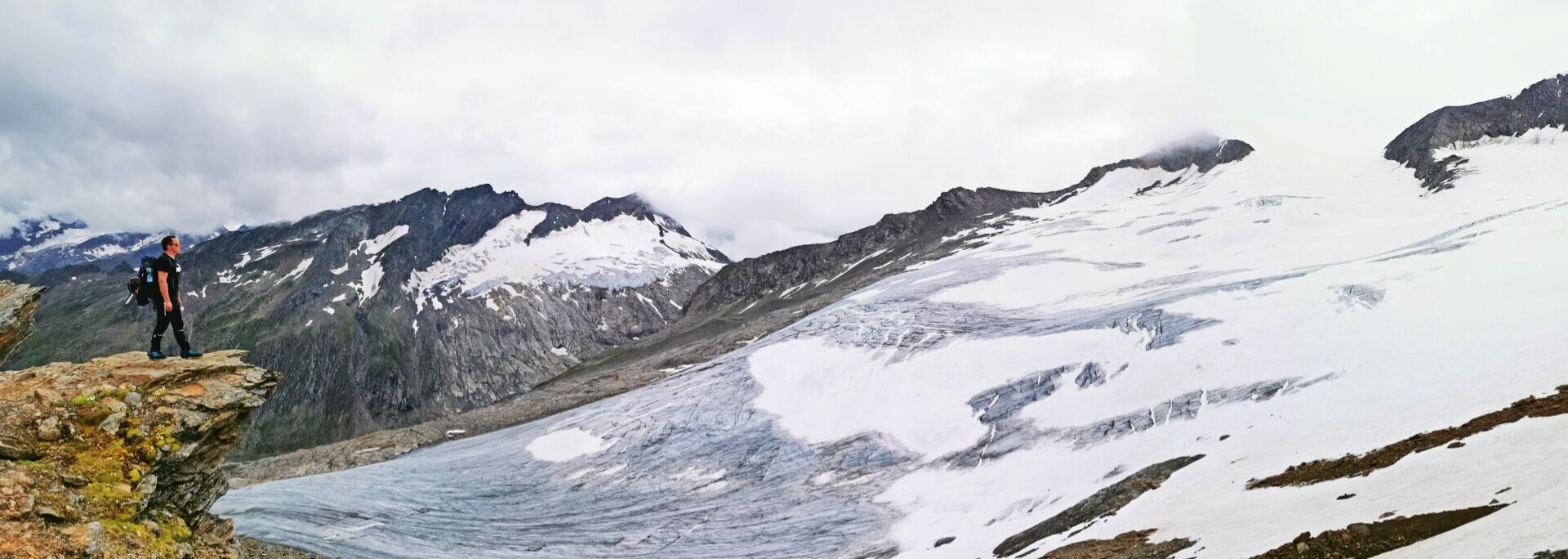
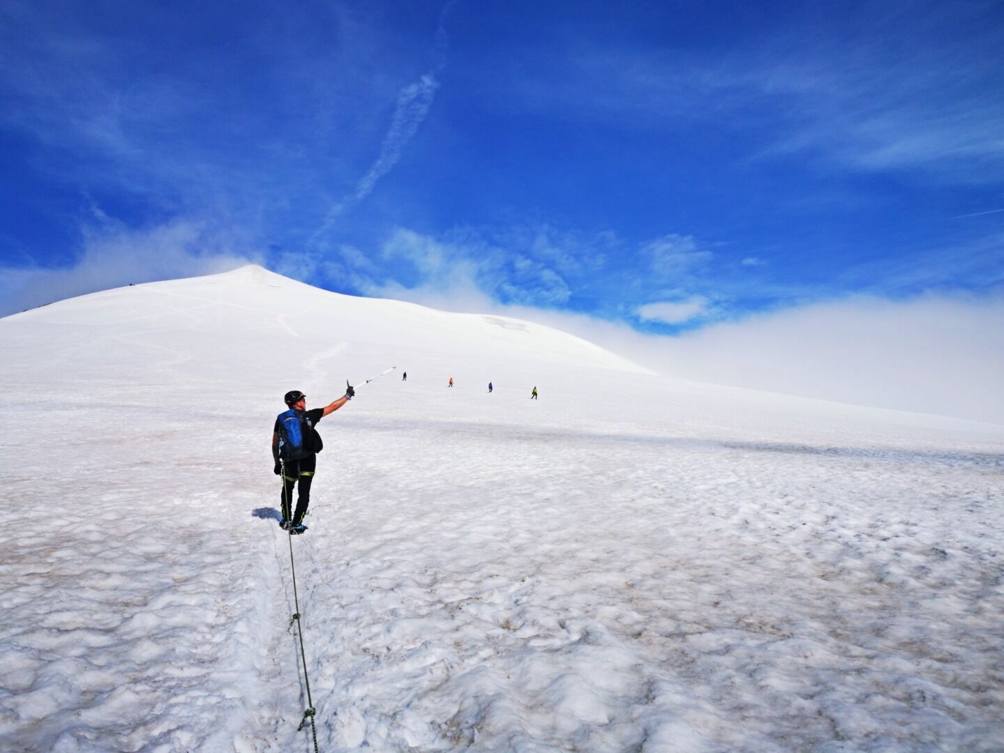
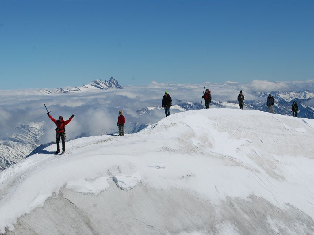
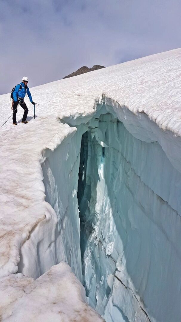
Glacier terrain (Caution: crevasses – you must be roped up!)
Rope, ice axe, crampons. Coordinates: Rainertörl (orientation pole) N 5220 022 m E 33T 299258 m. Altitude: 3,433 m
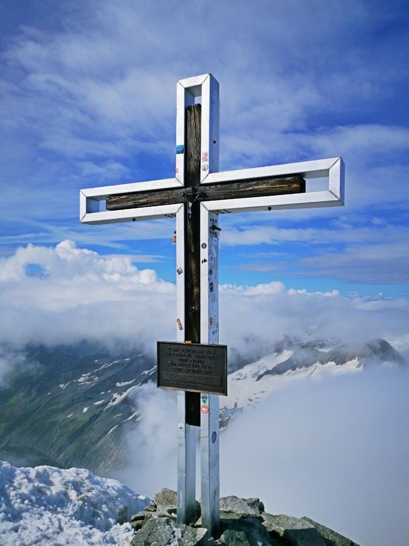
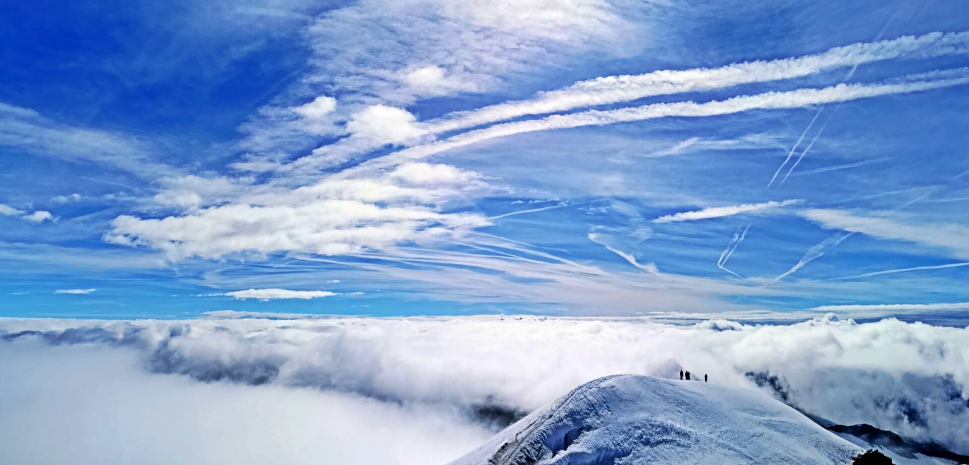
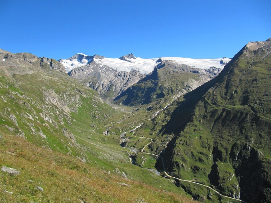
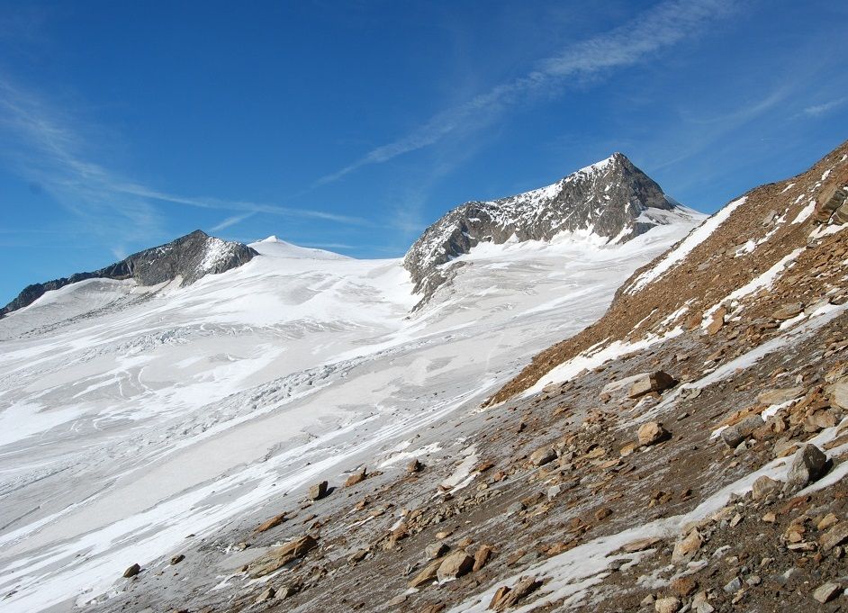
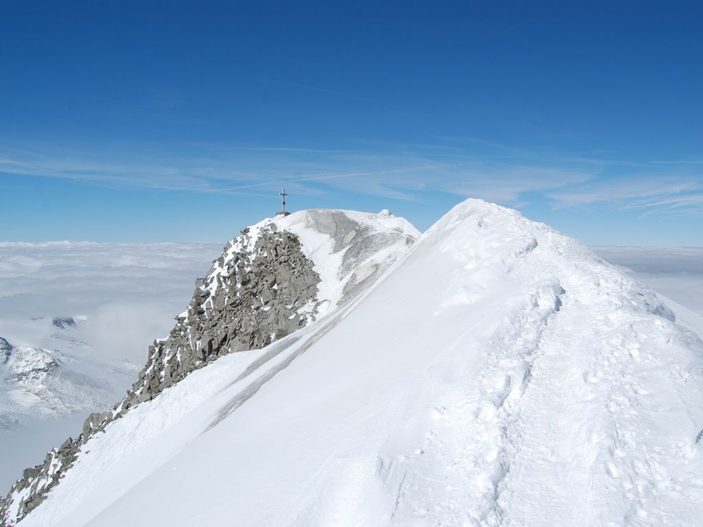
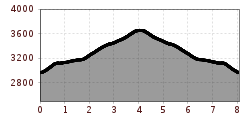
The route begins in Hinterbichl and follows the Alpine cart track to Dorfertal and the Johannis Hütte (2121 m). The taxi shuttle service shortens the ascent. To Defreggerhaus (2964 m) with views up to the shimmering white firn snow of the widely glaciated area. After the Mullwitzaderl (3241 m) the ascent of the glacier begins. Crampons, rope and being accompanied by a mountain guide will provide you with safe passage. The route proceeds via Rainer Törl to the icy summit of the Großvenediger (3666 m). Enjoy a dreamy all-round view across the Hohe Tauern National Park and the surrounding mountains including the Dolomites, the Dachstein mountains and many others. Educational trail (pocket guide available).
The ascent with a mountain guide is highly recommended!
Bus stop Prägraten a. G. Hinterbichl
Car park Wiesenkreuz


