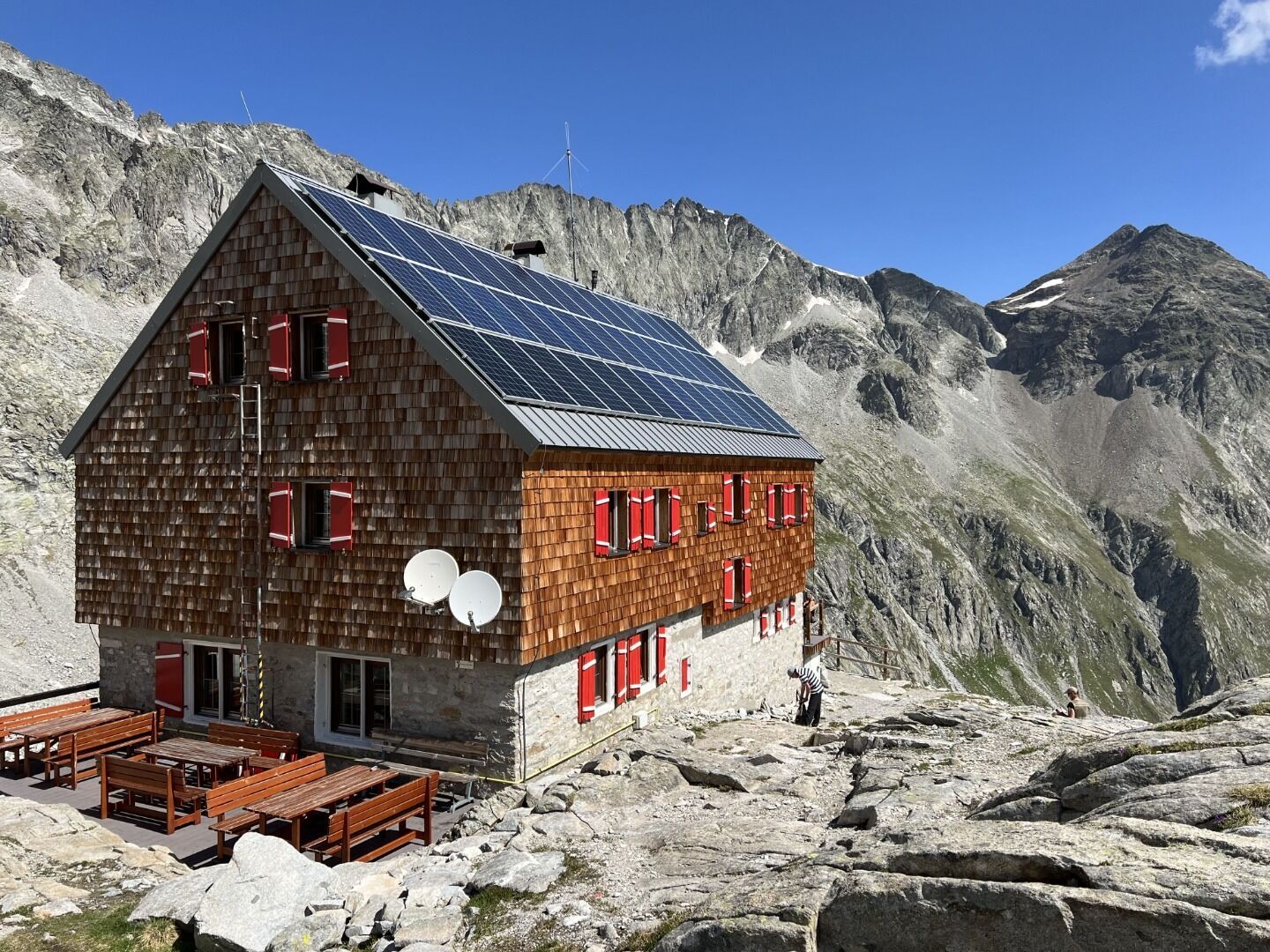
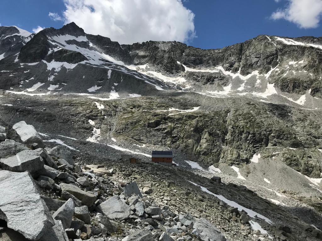
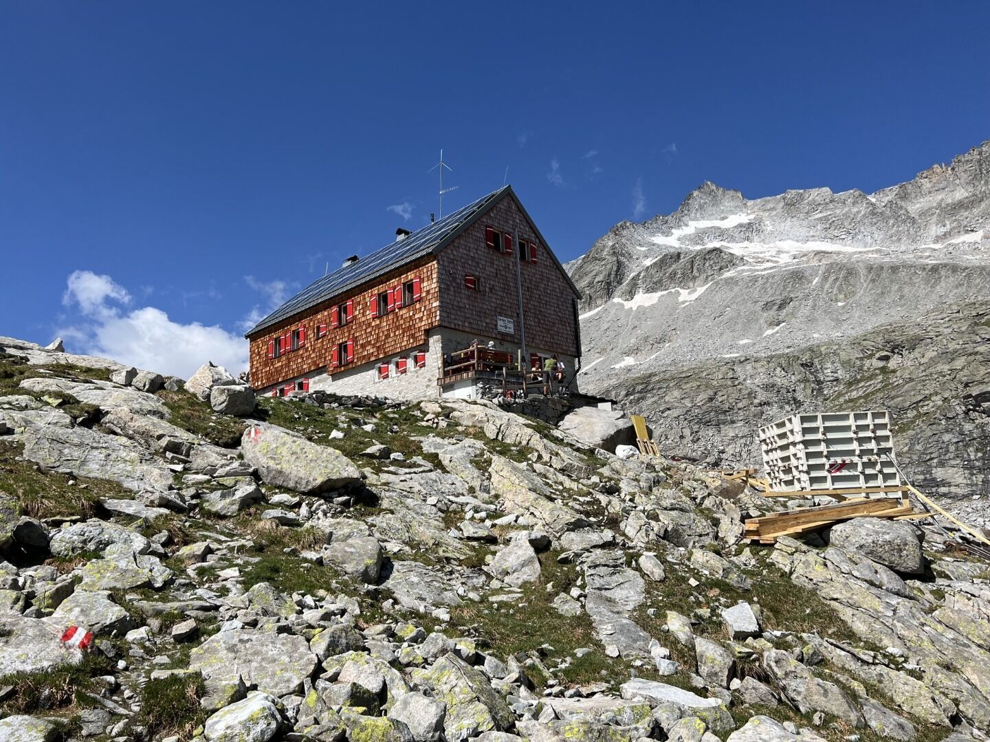
Hut hike Hike to Barmer Hütte 2.610m

St. Jakob im Defereggental / Rieserferner
Difficulty ratings: medium
Route length: 13.0 km
Duration: 6:00 h

Moderately difficult hike in the Rieserferner Group
Tour information

  • Requirement: medium
  • Length: 13.0 km
  • Duration: 6:00 h
  • Elevation uphill:900 hm
  • Elevation downhill:900 hm
Highest point2,610 m

Starting point

Parkplatz Patscherhütte

Finishing point

Parkplatz Patscherhütte
  • Fitness level 3 / 6
  • Technique 3 / 6

Best time of year

  • January
  • February
  • March
  • April
  • May
  • June
  • July
  • August
  • September
  • October
  • November
  • December

Trail condition

Schotter

Equipment

Basic equipmentformountainhikingincludessturdy hiking bootswith a goodtread, a 30-35 literbackpack, and functionalclothingbased on thelayeringprinciple, includingsufficient spare clothes. Essential itemsare rain, cold, and sunprotection, adequatefluids and food, aswellas a first-aid kit and a charged mobile phone. A mapor a GPS devicesupportsorientation. 

The informationservesas a guideline and does not claimtobe exhaustive. Equipment mustalwaysbeadaptedtothe planned route, weatherconditions, season, naturalhazards, environmental influences, and personal needs. 

Source: TVB Osttirol

Description

Starting from Patscherhütte carpark, first follow the broader driveway to Patschertal Valley. After passing the lift building to Barmer Hütte, follow the narrow path to the end of the valley from where it takes a quite steep ascent to Barmer Hütte. In this mountain lodge hosted by the German Alpine Association Section Barmen, German as well as Austrian specialties are served. The lodge is a perfect “base camp” for tours to the summits of Hochgall, Barmer Spitze, Almerhorn, and many other peaks of the Rieserferner Group

Nearby huts and mountain restaurants

Getting here

  • Arrival by public transport

    Haltestelle Erlsbach

  • Parking

    Von St. Jakob in Defereggen bis zum Ortsteil Erlsbach. Nach Erlsbach rechts ins Patschertal abbiegen bis zum Parkplatz Patscherhütte.
    Parkplatz Patscherhütte

Weather

Today

snow showers
4°C/-2°C
85%6.7l5 km/h

Fri

mainly clear
5°C/-2°C
45%0.8l5 km/h

Sat

light snow showers
4°C/-4°C
50%1l5 km/h
Go to weather forecast

More tours in the surrounding area

  • Glödis via ferrata route

    Opening hours:closed
    Difficulty:BExposition:SE
    Duration:1:00 hDuration:4:00 hElevation difference:230 m
  • Theme path "Virgen crossroads"

    Difficulty:easy
    Length:3.2 kmDuration:1:00 hElevation uphill:104 m
  • Muhs panorama trail

    Difficulty:medium
    Length:15.2 kmDuration:6:00 hElevation uphill:1,090 m
  • Hiking tour to St. Pöltner Hütte and 3 lakes

    Difficulty:difficult
    Length:14.8 kmDuration:7:40 hElevation uphill:1,119 m
  • Children's mile Golzentipp

    Difficulty:easy
    Length:3.7 kmDuration:2:00 hElevation uphill:140 m
  • Circular walk church St. Nikolaus

    Difficulty:easy
    Length:5.4 kmDuration:1:39 hElevation uphill:150 m
  • Rollitour with Swiss Trac

    Difficulty:easy
    Length:3.2 kmDuration:1:30 hElevation uphill:135 m
  • Golzentipp 2.317 m

    Difficulty:easy
    Length:5.6 kmDuration:2:00 hElevation uphill:267 m
  • Toblacher Pfannhorn

    Difficulty:medium
    Length:9.8 kmDuration:4:30 hElevation uphill:1,020 m
  • Hike to Jagdhausalm 2.009m

    Difficulty:easy
    Length:16.6 kmDuration:5:00 hElevation uphill:400 m
  • Große Kinigat

    Difficulty:difficult
    Length:8.5 kmElevation uphill:1,250 m
  • Umbal waterfalls nature force trail

    Difficulty:easy
    Length:6.0 kmDuration:2:30 hElevation uphill:257 m
  • Oberseitsee - Seespitze 3.021 m

    Difficulty:difficult
    Length:14.4 kmDuration:8:30 hElevation uphill:1,310 m
  • Glacier trail Innergschlöss/Schlatenkees

    Difficulty:medium
    Length:9.4 kmDuration:4:50 hElevation uphill:680 m
  • Volkzeiner Hütte

    Difficulty:easy
    Length:13.4 kmDuration:3:30 hElevation uphill:370 m
  • Dorfberg

    Difficulty:medium
    Length:17.6 kmDuration:5:30 hElevation uphill:770 m
  • Oberstalleralm

    Difficulty:easy
    Length:2.8 kmDuration:0:50 hElevation uphill:170 m
Newsletter

The mountain is calling? So does our newsletter!

In our monthly newsletter we reveal the best holiday tips for Tyrol.