Mountain hikes Hiking tour to Islitzer Alm

Prägraten am Großvenediger / Venediger Group
Difficulty ratings: easy
Route length: 3.7 km
Duration: 1:20 h

Hike to the largest waterfalls in Osttirol

Tour information

  • Requirement: easy
  • Length: 3.7 km
  • Duration: 1:20 h
  • Elevation uphill:96 hm
  • Elevation downhill:96 hm
Highest point1,513 m

Starting point

Car park Ströden 1.400m

Finishing point

Car park Ströden 1.400m
  • Fitness level 2 / 6
  • Technique 1 / 6

Features

  • Suitable for families
  • suitable for pushchairs

Best time of year

  • January
  • February
  • March
  • April
  • May
  • June
  • July
  • August
  • September
  • October
  • November
  • December

Trail condition

forest track

Source: TVB Osttirol

Description

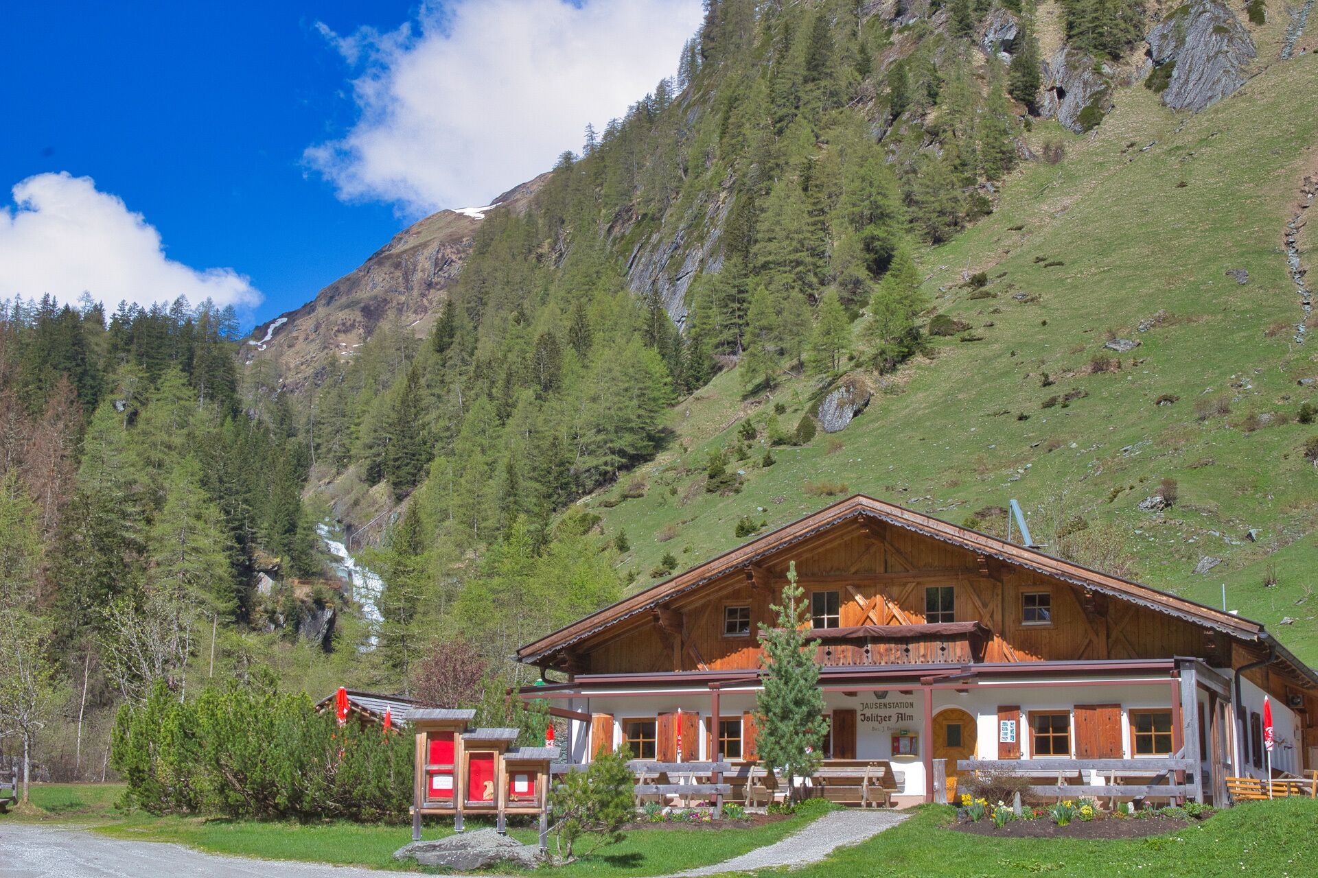
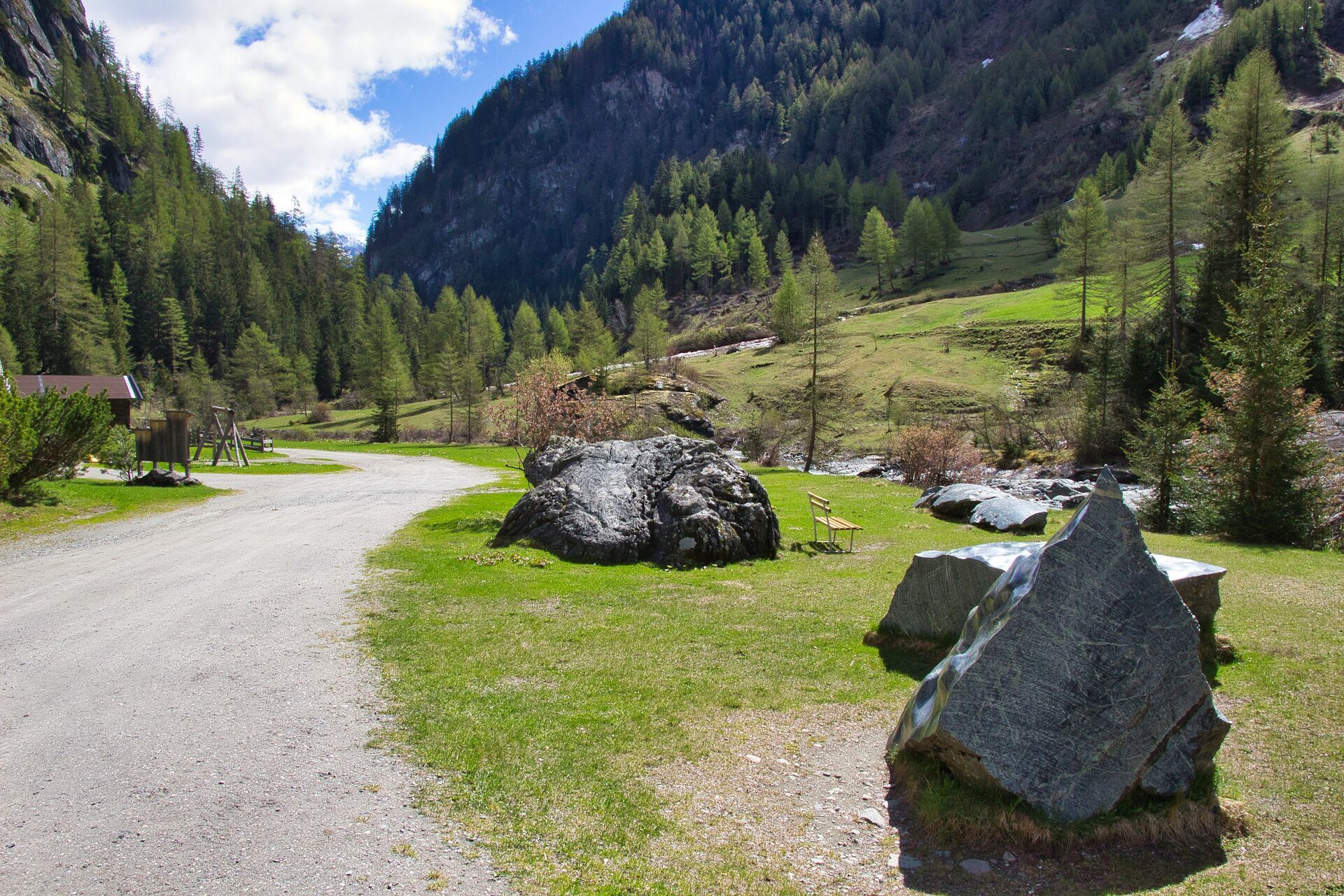
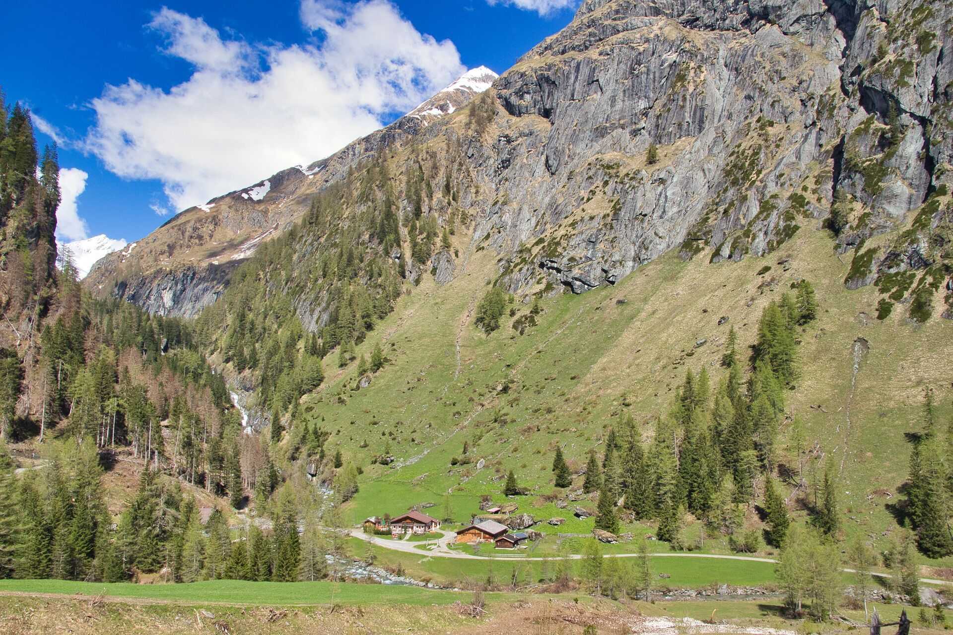
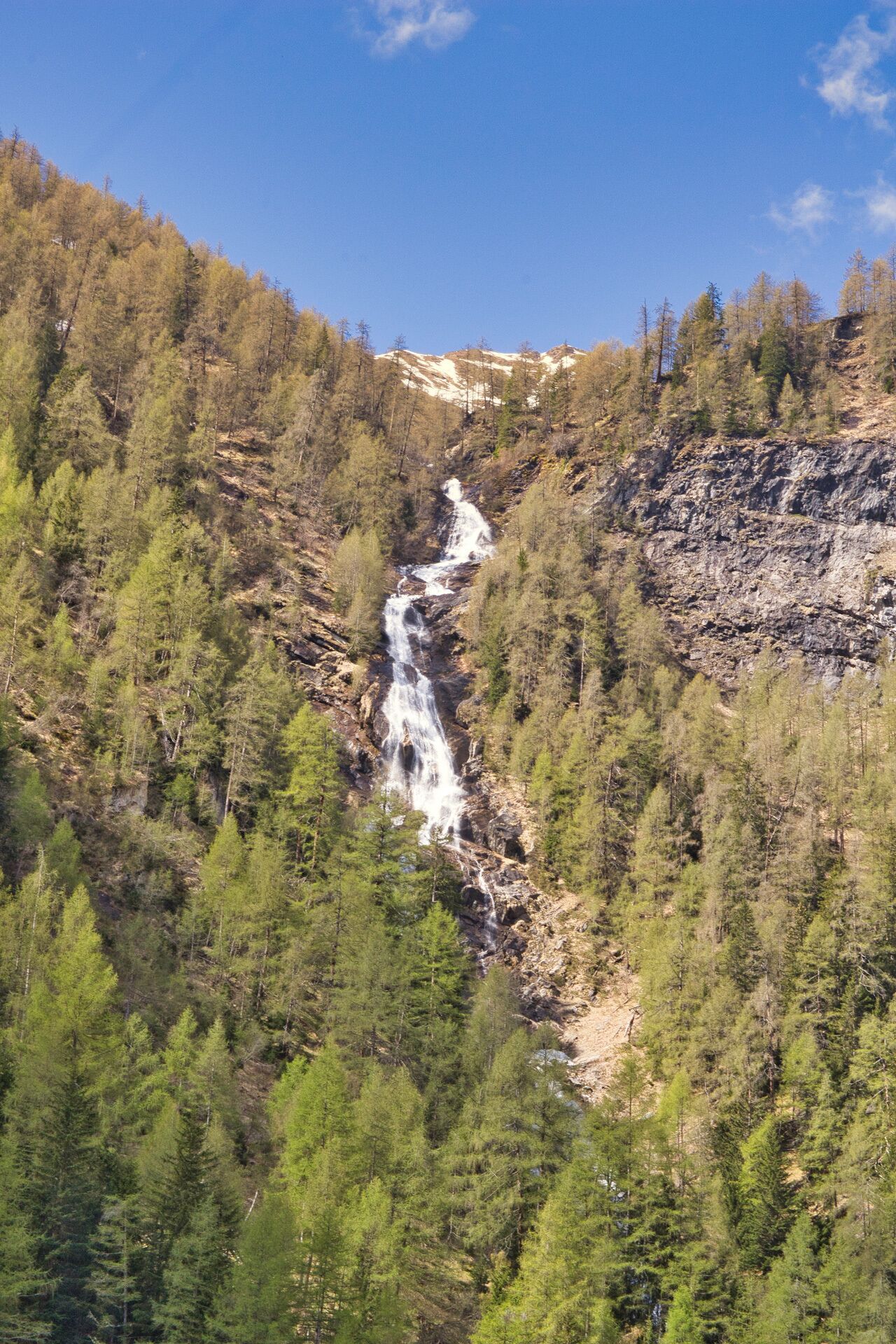
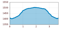
Starting from Ströden carpark, which is also conveniently accessible by post bus, this short but interesting hiking tour to Islitzer Alm on 1513 metres above sea level begins. Most of the broad driveway is even but at about half-way you will have to master a steeper section. Here, you will also come to a vantage point where you can see River Isel’s waters falling down impressively.

Islitzer Alm is a popular easy-to-get-to excursion destination and also serves as stop on extended tours to Clara Hütte or Neue Reichenberger Hütte. Particularly impressive is the waterfall observation circuit at River Isel that lead to the Umball Waterfalls in just a few walking minutes.

On Islitzer Alm you can enjoy coffee and cake, hearty snacks and other specialties. A playground right in front of the mountain farm make this excursion great fun also for children.

Nearby huts and mountain restaurants

  • Islitzer Alm 1.513m

    Opening hours:Today closed
    Place:Prägraten am Grossvenediger
    :Alpine pasture / hut / mountain restaurant

Getting here

  • Arrival by public transport

    Prägraten a.G. Ströden

  • Parking

    Parkplatz Ströden

More tours in the surrounding area

  • Lasörling altitude trail

    Difficulty:medium
    Length:57.0 kmDuration:25:00 hElevation uphill:3,740 m
  • Venediger altitude trail

    Difficulty:difficult
    Length:55.5 kmDuration:27:00 hElevation uphill:3,915 m
  • Figerhorn

    Difficulty:difficult
    Length:6.5 kmDuration:6:00 hElevation uphill:807 m
  • Theme path "Virgen crossroads"

    Difficulty:easy
    Length:3.2 kmDuration:1:00 hElevation uphill:104 m
  • Muhs panorama trail

    Difficulty:medium
    Length:15.2 kmDuration:6:00 hElevation uphill:1,090 m
  • Hike to Neuen Reichenberger Hütte

    Difficulty:medium
    Length:18.2 kmDuration:9:00 hElevation uphill:1,252 m
  • Hiking tour to Lasörlinghütte 2.350m

    Difficulty:medium
    Length:14.6 kmDuration:7:50 hElevation uphill:1,135 m
  • Hiking tour to Zupalsee Hütte 2.350m

    Difficulty:medium
    Length:14.9 kmDuration:8:30 hElevation uphill:1,261 m
  • Hiking tour to St. Pöltner Hütte and 3 lakes

    Difficulty:difficult
    Length:14.8 kmDuration:7:40 hElevation uphill:1,119 m
  • Badener Hütte

    Difficulty:difficult
    Length:23.2 kmDuration:12:00 hElevation uphill:1,754 m
  • Hike to Kalser Tauernhaus

    Difficulty:medium
    Length:12.2 kmDuration:4:00 hElevation uphill:244 m
  • Hiking tour to Neue Sajathütte 2.600m

    Difficulty:medium
    Length:10.3 kmDuration:6:50 hElevation uphill:1,086 m
  • Lucknerhaus - Stüdlhütte

    Difficulty:medium
    Length:9.3 kmDuration:4:30 hElevation uphill:862 m
  • Hike to the Venedigerhaus Innergschlöß

    Difficulty:easy
    Length:8.6 kmDuration:2:30 hElevation uphill:184 m
  • Rotenkogel

    Difficulty:difficult
    Length:3.9 kmDuration:3:00 hElevation uphill:383 m
  • Umbal waterfalls nature force trail

    Difficulty:easy
    Length:6.0 kmDuration:2:30 hElevation uphill:257 m
  • Glacier trail Innergschlöss/Schlatenkees

    Difficulty:medium
    Length:9.4 kmDuration:4:50 hElevation uphill:680 m
  • Böses Weibl

    Difficulty:difficult
    Length:14.1 kmDuration:8:00 hElevation uphill:1,193 m
  • Rollitour with Swiss Trac

    Difficulty:easy
    Length:3.2 kmDuration:1:30 hElevation uphill:135 m
Newsletter

The mountain is calling? So does our newsletter!

In our monthly newsletter we reveal the best holiday tips for Tyrol.