Long-Distance Hike
Eagle Walk

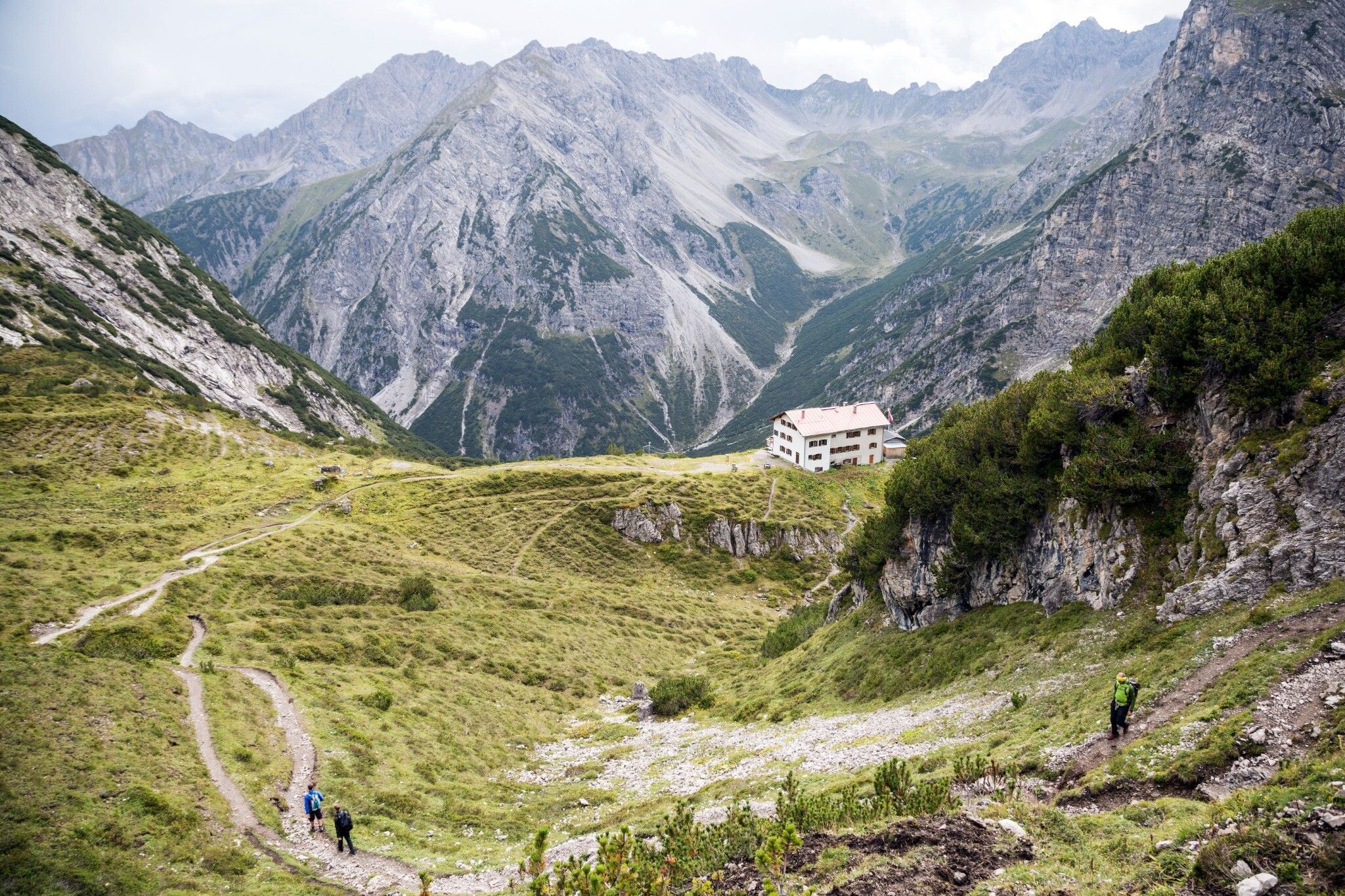
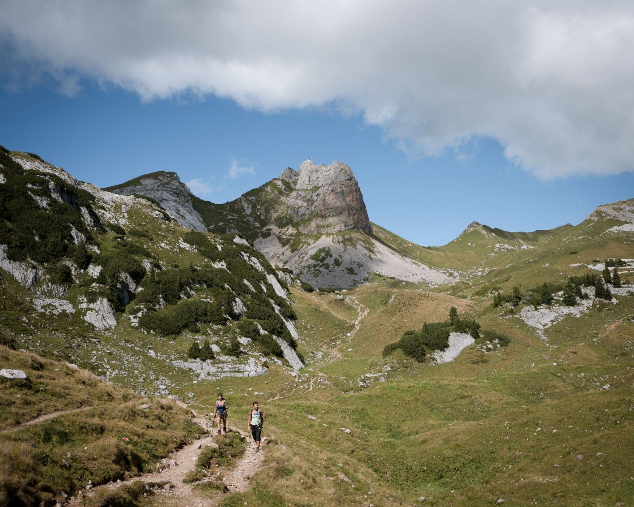
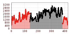
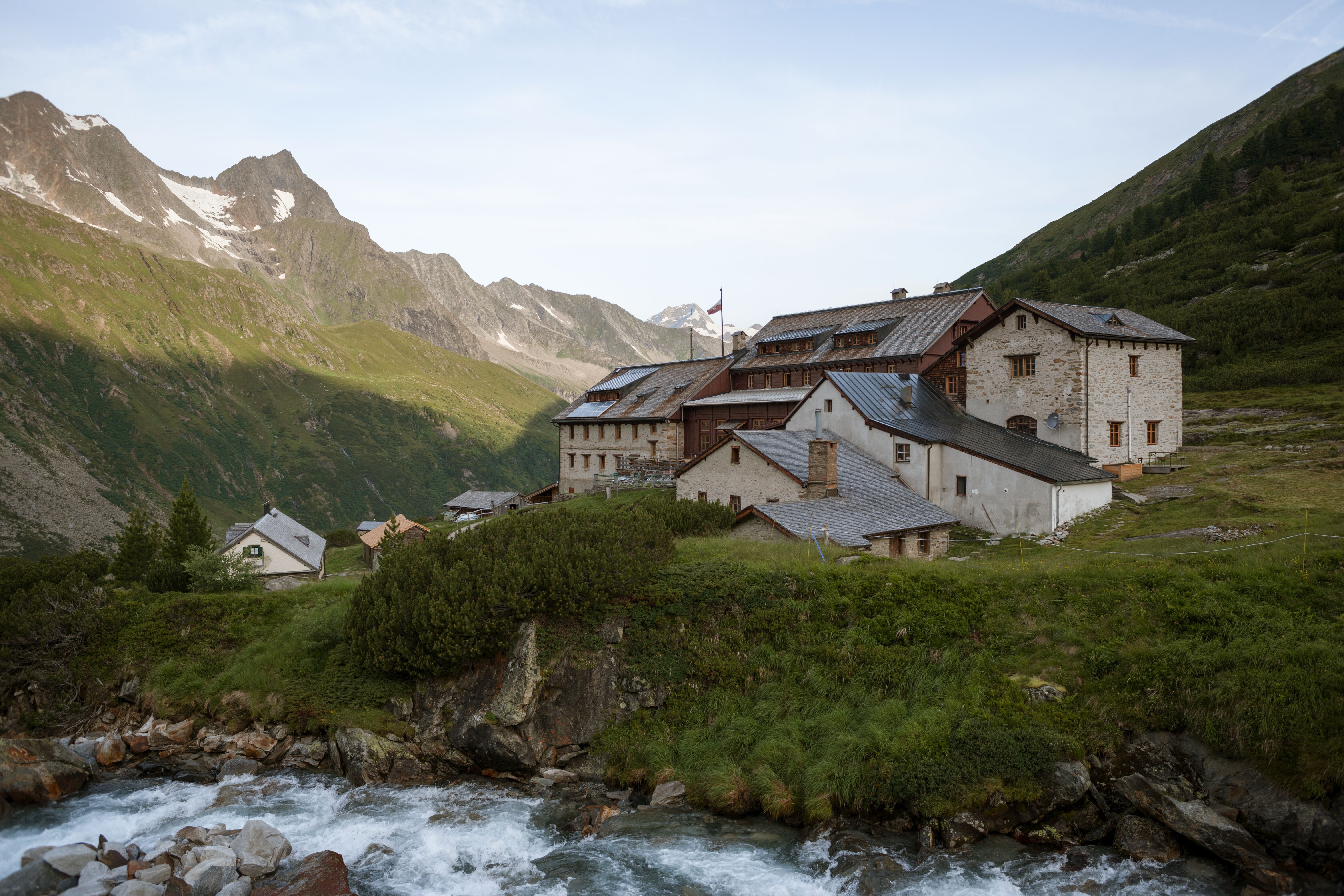
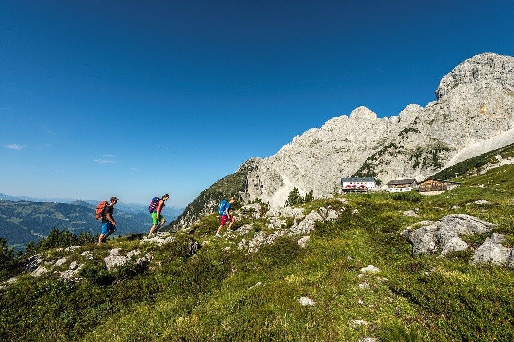
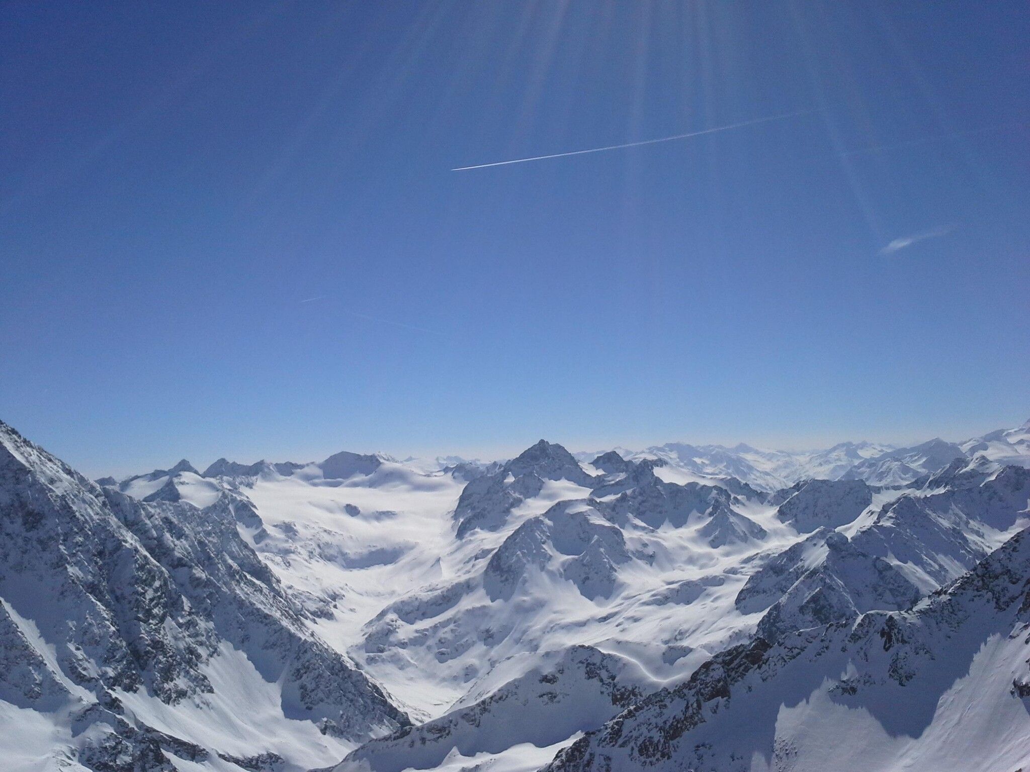
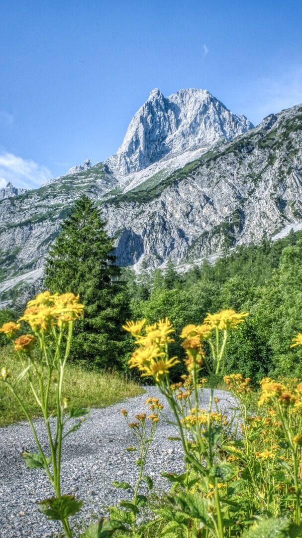
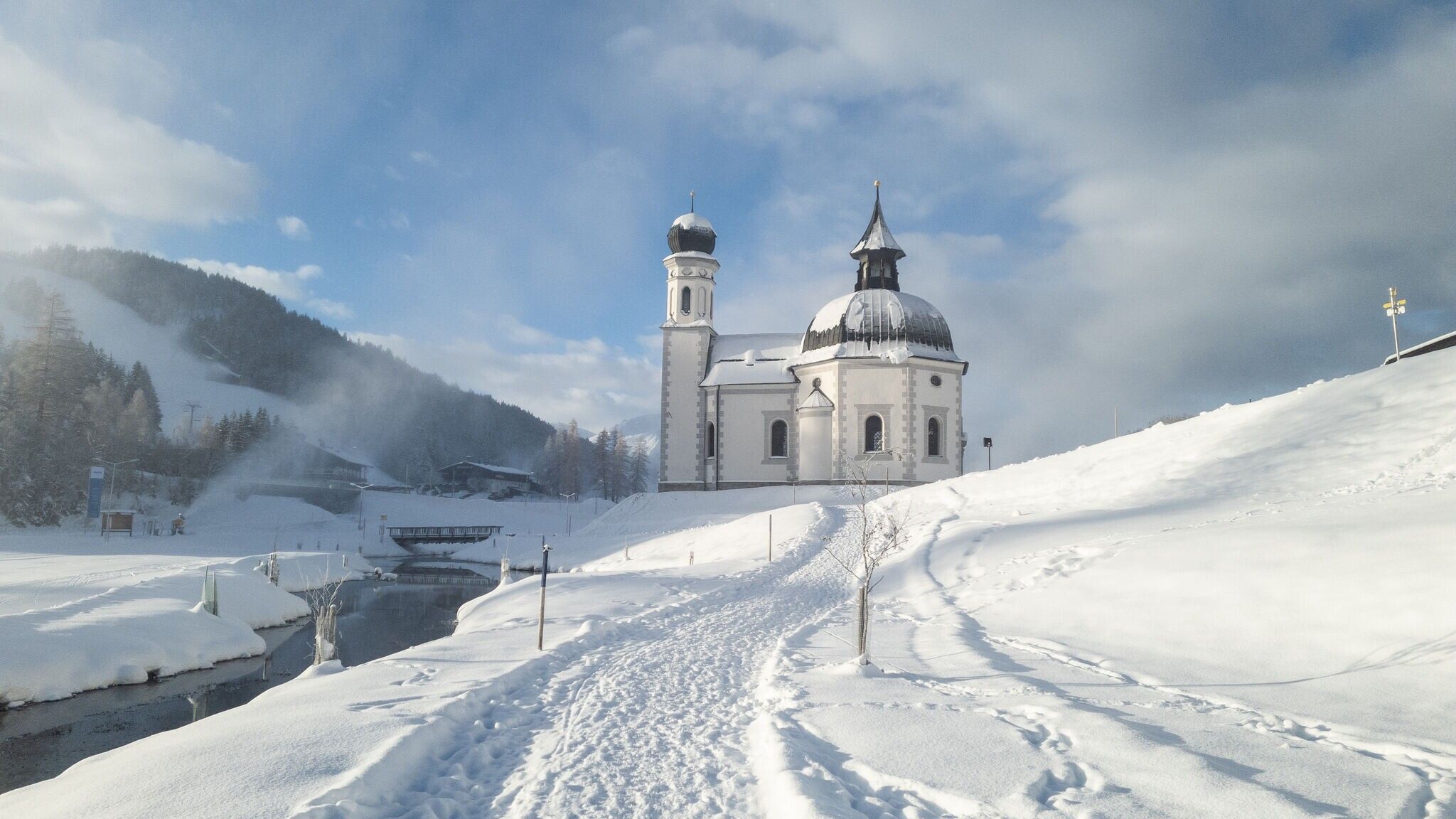
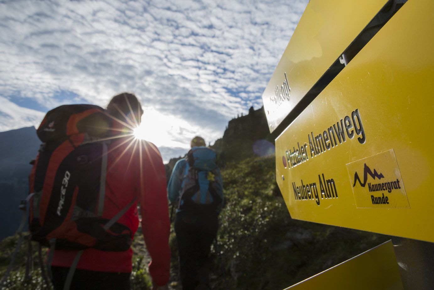
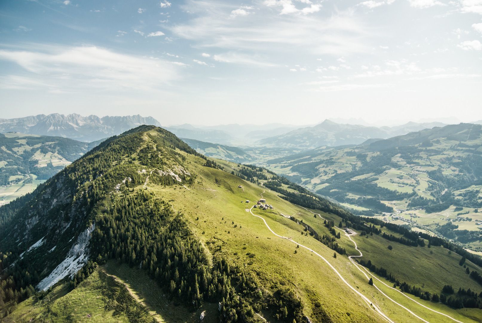
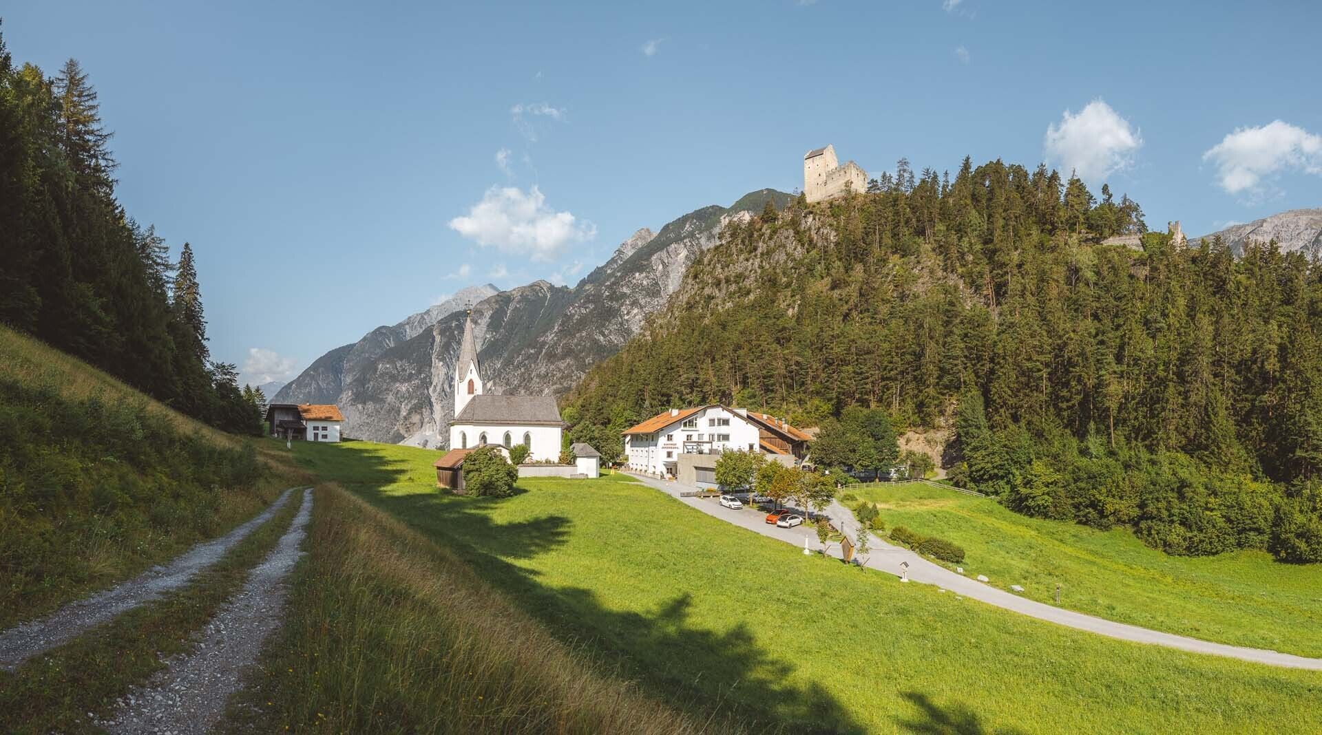
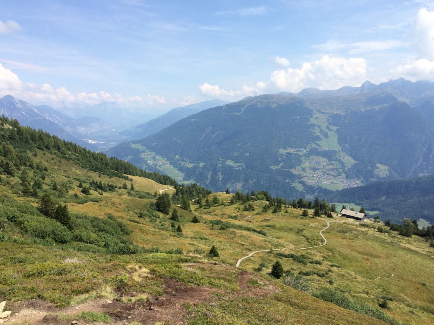
While the golden eagle is the king of the skies, the Eagle Walk is the king of the long-distance hikes in Tirol. The hike takes its name from the fact that, when seen from above, the 420km route traces the outlines of a golden eagle in flight. The Eagle Walk begins in St. Johann in the Kitzbühel Alps and finishes in St. Christoph am Arlberg. There is also a special version of the Eagle Walk in East Tirol, which starts in Ströden and finishes at the Stüdlhütte hut on the Großglockner mountain, the highest peak in Austria. Put together, these two hikes comprise 33 stages with no less than 31,000 vertical metres of uphill. Little wonder, then, that this is a long-term project which needs time but rewards hikers with some of the most spectacular views in Tirol.

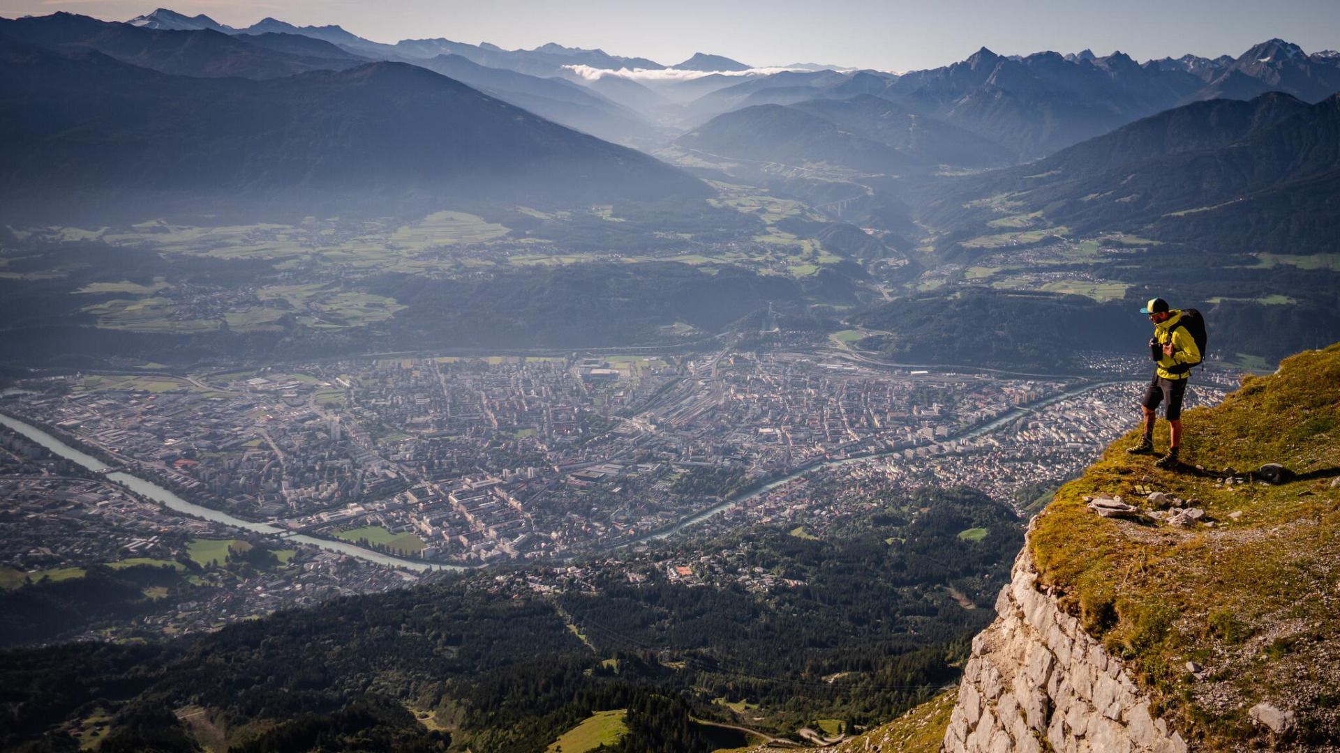
The highlight of the hike is the Goetheweg Trail in the Karwendel Mountains overlooking Innsbruck. The contrast between the remote mountain world and the urban setting of the regional capital is unique.

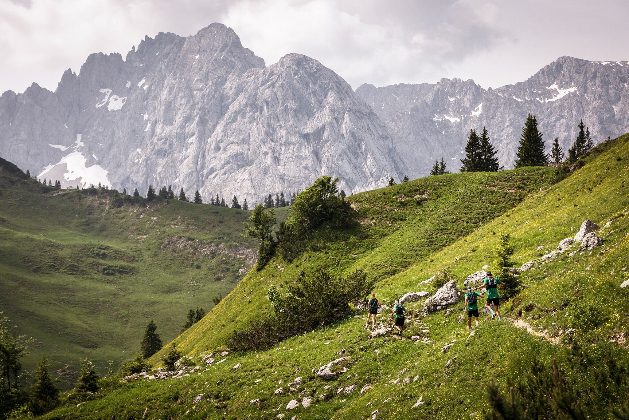
The Eagle Walk is ideal not only for hardcore hikers wishing to complete the whole route but also for those who want to explore certain areas of Tirol one by one. The hike can be broken down into sections of one or several days. Experience hiking in high alpine terrain, sure-footedness and a head for heights are, however, required on many of the stages.

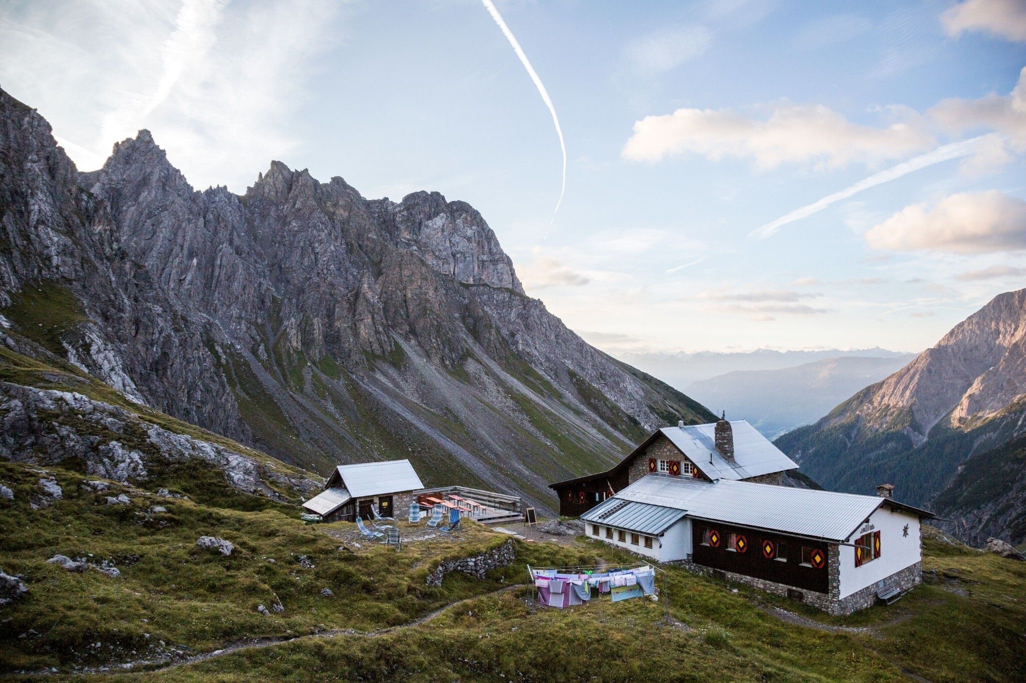
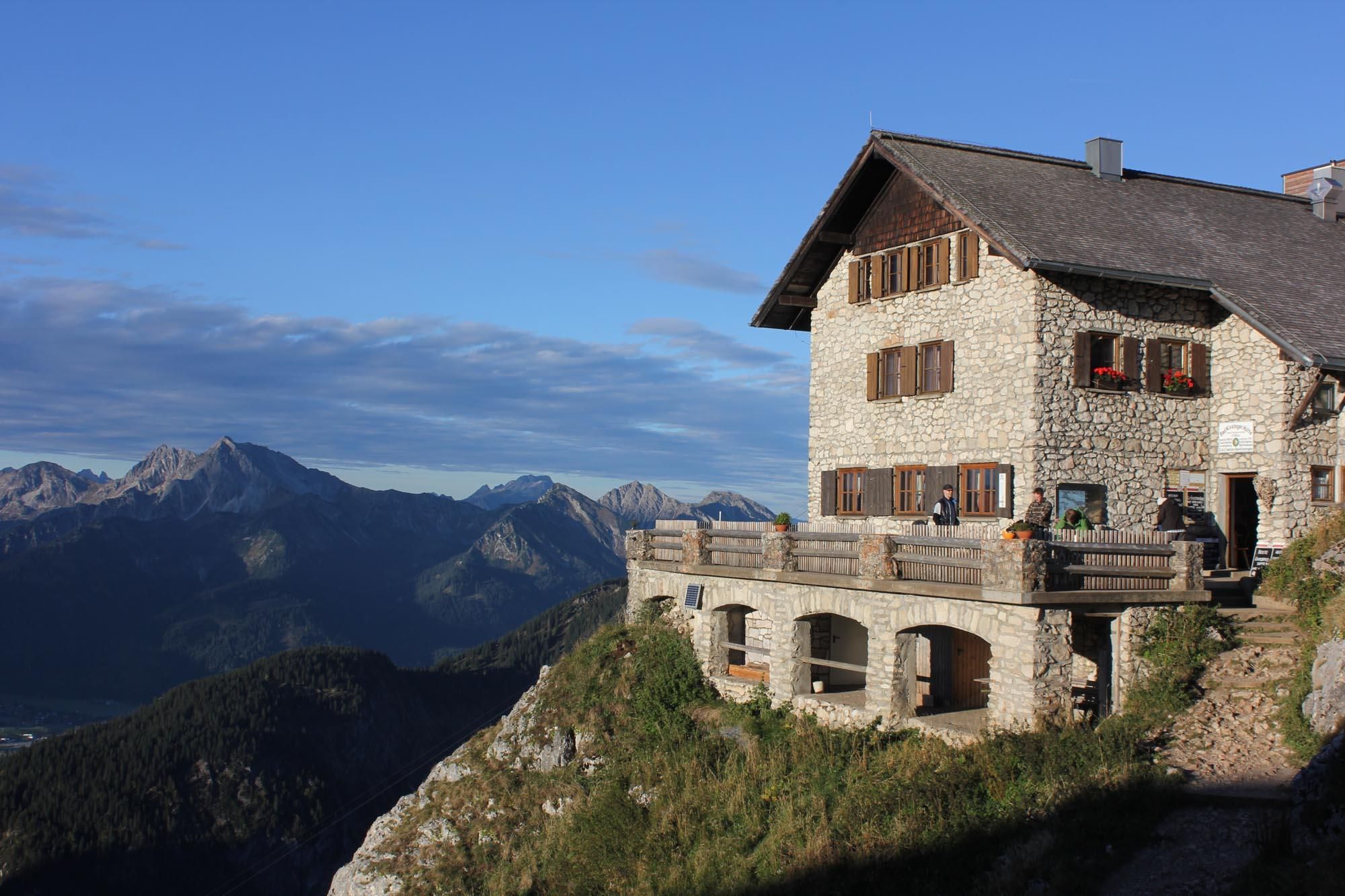
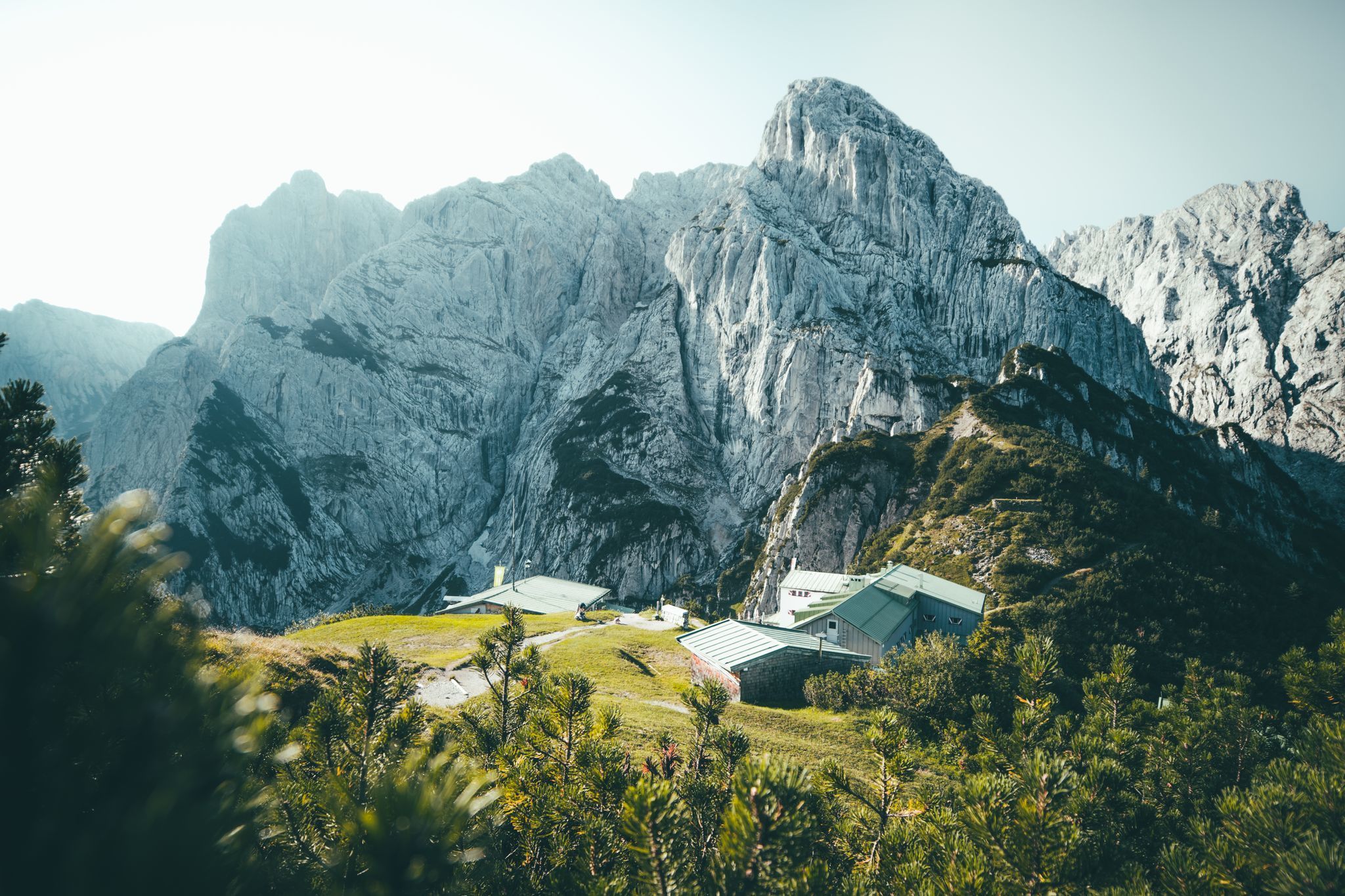
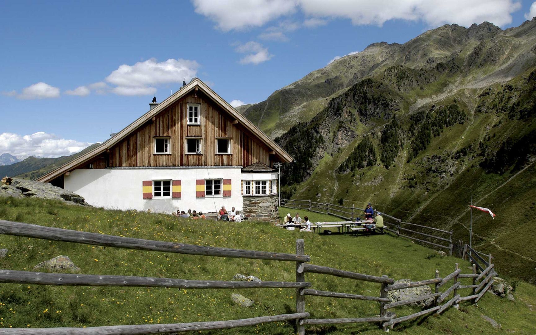
Tip! There are Black Diamond Service Stations at the Gaudeamushütte (Kaiser Mountains), the Karwendelhaus (Karwendel Mountains) and the Württembergerhaus (Lechtal Alps). Hikers who have broken a walking pole or lost a glove can get a free replacement at these stations.

Tip! There are Black Diamond Service Stations at the Gaudeamushütte (Kaiser Mountains), the Karwendelhaus (Karwendel Mountains) and the…

Read moreShow less
Hiking the Goetheweg Trail
The regional capital Innsbruck far below
The Goetheweg Trail high above Innsbruck
The Goetheweg Trail above the Inn Valley
Hiking the Goetheweg Trail
The Goetheweg Trail in the Nordkette Mountains above Innsbruck
Sunset in the Karwendel Nature Park
Open interactive map

Starting point  

St. Johann in Tirol / Ströden im Virgental, East Tirol

Finishing point

St. Christoph am Arlberg / Stüdlhütte in East Tirol

Mountain chain

Karwendel Mountains

Length

422 km

Duration

33 day(s)

Features

  • Wheelchair-accessible Hiking Route
  • Circular hike

Difficulty rating

difficult (black trails)

Altitude

2,872m

Elevation uphill 30,000m
Vertical metres downhill 26,970m

Fitness level

Technique

Best time of year

Jan
Feb
Mar
Apr
May
Jun

Jul
Aug
Sep
Oct
Nov
Dec

* These are approximate values and recommendations. Please take your personal fitness level, technical ability and the current weather conditions into account. Tirol Werbung cannot guarantee that the information provided is correct and accepts no liability.

Public transport

  • Accessible using public transport

Downloads

Places along the route

Arrival date

How to get here by plane, train, bus or car.

Ihr Ziel: Eagle Walk (47.51982,12.43079)

powered by Rome2Rio

Search accommodation

Number of travelers

Hiking trails in this region

show more +

How did you like this article?

Want to receive an answer? If so, please get in touch using the contact form.

Go up

Is your inbox in need of a holiday?

Then subscribe to our weekly newsletter full of exclusive holiday tips from Tirol!